


Why visit Rūdehen
Townapedia lists 2 museums and landmarks, 4 parks and trails and 13 places to eat in and around town.
Highlights include Imamzadeh Motahhar (Bumahen).
Weather in Rūdehen
Forecast from MET Norway (CC BY 4.0). Full forecast
About Rūdehen
Rudehen (Persian: رودهن) is a city in, and the capital of, Rudehen District of Damavand County, Tehran province, Iran.
From the Wikipedia article Rudehen, Iran (this version), under CC BY-SA 4.0.
Museums and landmarks2
Imamzadeh Motahhar (Bumahen)
Monument and historic site · 3.6 km
Imamzadeh in Bumahen, Iranian national heritage site

Parks, trails and playgrounds4

Restaurants and cafes13

طباخی یاس
Restaurant · کله پاچه · 1.4 km
علمی کاربردی, رودهن
Mo-Su 05:00-12:00


کره کباب کارینو
Restaurant · Kebab · 1.0 km
روبه روی ایران مارکت امام خمینی, رودهن
11:00-00:30
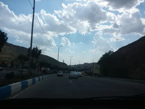
کافه رستوران تعطیلات
Cafe · Coffee Shop, Pizza, Burger, Persian, Pasta · 2.2 km
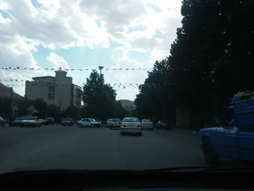
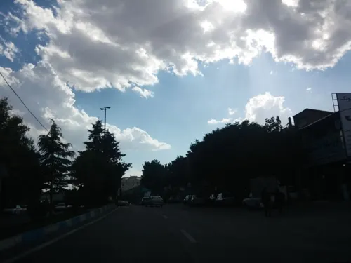


1 more on the map.
Churches and places of worship2

Shopping4
Gas and EV charging4
Schools, colleges and libraries8
Healthcare4
Map of Rūdehen
41 places. The map loads OpenStreetMap tiles when you open it.
Getting there and nearby towns
Mehrabad International Airport (THR) is the nearest airport with scheduled flights listed in OpenStreetMap, 55 km away.
- Pardīs 9 km west, about 9 min by car
- Lavāsān 26 km northwest, about 26 min by car
- Āb Sard 25 km southeast, about 25 min by car
- Pākdasht 35 km southwest, about 35 min by car
- Tehran 44 km west, about 44 min by car
- Tajrīsh 44 km west, about 44 min by car
- Bāqershahr 51 km southwest, about 51 min by car
- Pīshvā 50 km south, about 50 min by car
- Varāmīn 51 km southwest, about 51 min by car
- Eslamshahr 64 km west, about 1 h by car
Drive times are estimates from straight-line distance, not routes.
Local news
Headlines from INDB.
Reviews, tips and questions
Loading what members have shared...
Sources and licences
- GeoNames (CC BY 4.0): population, coordinates, regions and time zone
- Mapillary (see each image): photos
- OpenStreetMap contributors (ODbL 1.0): places, airports, map data
- Wikidata (CC0 1.0): elevation, founding date, time zone, website, landmarks and historic places
- Wikimedia Commons (see each image): photos
- Wikipedia (CC BY-SA 4.0): overview and history text
Photo credits
- View Roudehen رودهن ازبام آن - panoramio, Mahdi Kalhor, CC BY 3.0
- Boumehen, The original uploader was Zereshk at English Wikipedia .. Photo taken by Zereshk using Sony 5.1 MPixel camera., CC BY-SA 3.0
- دانشکده فنی و مهندسی "مهندسی عمران" دانشگاه آزاد اسلامی واحد رودهن, Babak.ghobadii, CC BY-SA 4.0
- Baam e Roudehen بام رودهن - panoramio, Mahdi Kalhor, CC BY 3.0
- Well come in ,Roudehen رروهن در بدو ورود - panoramio, Mahdi Kalhor, CC BY 3.0
- Bumehen بخش صنعتی بومهن وشهربازی - panoramio, Mahdi Kalhor, CC BY 3.0
- Nice view,Roudehen چشم اندازی زیبا - panoramio, Mahdi Kalhor, CC BY 3.0
- Bumehen city بومهن از شهربازی - panoramio, Mahdi Kalhor, CC BY 3.0
- View north ,Roudehen نمای شمالی رودهن - panoramio, Mahdi Kalhor, CC BY 3.0
- Roudehen - Damavand road جاده رودهن دماوند سمت شرق - panoramio, Mahdi Kalhor, CC BY 3.0
- Bumehen, City Games and Raceway چرخ وفلک وآبنما - panoramio, Mahdi Kalhor, CC BY 3.0
- View Ruodehen گورستان قدیم از بام رودهن - panoramio, Mahdi Kalhor, CC BY 3.0
- Bumehen, City Games بازی تاب - panoramio, Mahdi Kalhor, CC BY 3.0
- Baam & Baam road, Rouaehen ساختمان بام - panoramio, Mahdi Kalhor, CC BY 3.0
- Nice view of ,Roudehen رودهن از بام آن - panoramio, Mahdi Kalhor, CC BY 3.0
- Baam e Roudehen Office دفتر بام رودهن - panoramio, Mahdi Kalhor, CC BY 3.0
- Guardian,Roudehen نگهبانی بام - panoramio, Mahdi Kalhor, CC BY 3.0
- Roudehen Baam بام رودهن زمستان 87 - panoramio, Mahdi Kalhor, CC BY 3.0
- Park,Roudehen بوستان سرما خورده - panoramio, Mahdi Kalhor, CC BY 3.0
- Nice view,Roudehen دورنمای شهرک روی کوه - panoramio, Mahdi Kalhor, CC BY 3.0
- Sepehr Adibzadeh, Sepehradibzadeh, CC0
- Reflection - panoramio - hassan jafari, hassan jafari, CC BY 3.0
- Roudehen رودهن - panoramio, Mahdi Kalhor, CC BY 3.0
- Roudehen university دانشگاه آزاد رودهن - panoramio, Mahdi Kalhor, CC BY 3.0
- Roudehen شهرک از نزدیکتر - panoramio, Mahdi Kalhor, CC BY 3.0
- Street-level photo, shahinnia, CC BY-SA 4.0
- Street-level photo, behzadelahi, CC BY-SA 4.0
- Street-level photo, behzadelahi, CC BY-SA 4.0
- Street-level photo, behzadelahi, CC BY-SA 4.0
- Street-level photo, behzadelahi, CC BY-SA 4.0


Page built November 8, 2026. Spotted a mistake? Tell us or suggest a place.