


Katālem va Sādāt Shahr, Iran
Katālem va Sādāt Shahr is a town of 20,716 people in Māzandarān, Iran.
Why visit Katālem va Sādāt Shahr
Townapedia lists 1 museum or landmark, 10 places to eat and 6 places to stay in and around town.
Highlights include Marble Palace.
Weather in Katālem va Sādāt Shahr
Forecast from MET Norway (CC BY 4.0). Full forecast
Museums and landmarks1

Marble Palace
Museum · 4.1 km
Palace in Ramsar, Iranian national heritage site
Restaurants and cafes10


Where to stay6

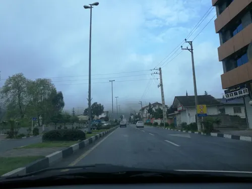
Churches and places of worship1
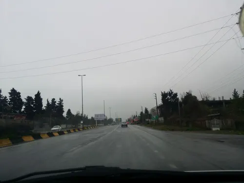


Shopping7
هایپرمارکت خزر
Grocery · 1.2 km
دوراهی سادات شهر روبروی پمپ بنزین ابتدای خیابان مطهری, رامسر
Gas and EV charging3
Schools, colleges and libraries5
Healthcare3
Map of Katālem va Sādāt Shahr
36 places. The map loads OpenStreetMap tiles when you open it.
Getting there and nearby towns
Ramsar International Airport (RZR) is the nearest airport with scheduled flights listed in OpenStreetMap, 2 km away.
- Rāmsar 5 km northwest, about 5 min by car
- Līmāk 7 km southeast, about 7 min by car
- Rājūb 6 km southeast, about 6 min by car
- Shīrūd 10 km southeast, about 10 min by car
- Tonekābon 18 km southeast, about 18 min by car
- Salmānshahr 49 km southeast, about 49 min by car
- Kalārdasht 60 km southeast, about 1 h by car
- Chālūs 70 km east, about 1 h 15 min by car
- Lāhījān 70 km northwest, about 1 h 15 min by car
- Nowshahr 76 km east, about 1 h 15 min by car
Drive times are estimates from straight-line distance, not routes.
Local news
Headlines from INDB.
Reviews, tips and questions
Loading what members have shared...
Sources and licences
- GeoNames (CC BY 4.0): population, coordinates, regions and time zone
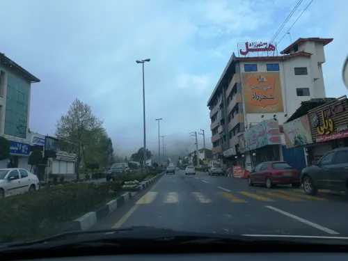
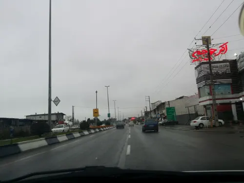
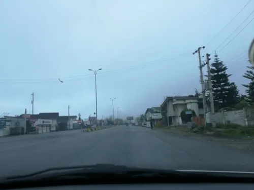
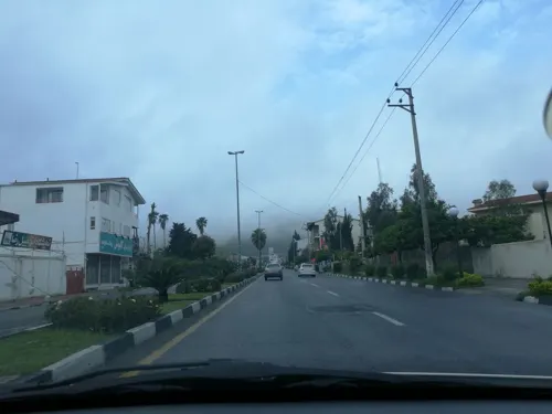
- Mapillary (see each image): photos
- OpenStreetMap contributors (ODbL 1.0): places, airports, map data
- Wikidata (CC0 1.0): elevation, founding date, time zone, website, landmarks and historic places
- Wikimedia Commons (see each image): photos
Photo credits
- اتاق مهمان کاخ رامسر, R. Rasoole Mehrabani, CC BY-SA 4.0
- پایانه سواری تاکسی - panoramio, Ali Safdarian, CC BY 3.0
- سواری تهران - panoramio, Ali Safdarian, CC BY 3.0
- دانشکده فنی حرفه ای ملاصدرا رامسر - panoramio, Ali Safdarian, CC BY 3.0
- ISS062-E-101678 - View of Earth, Earth Science and Remote Sensing Unit, NASA Johnson Space Center, Public domain
- ISS062-E-101679 - View of Earth, Earth Science and Remote Sensing Unit, NASA Johnson Space Center, Public domain
- ISS064-E-31479 - View of Earth, Earth Science and Remote Sensing Unit, NASA Johnson Space Center, Public domain
- Ficus carica 449614219, portioid, CC BY-SA 4.0
- Ficus carica 449605388, portioid, CC BY-SA 4.0
- Sunset People (5584407443), Babak Farrokhi from Tehran, IRAN, CC BY 2.0
- Street-level photo, pilsa, CC BY-SA 4.0
- Street-level photo, pilsa, CC BY-SA 4.0
- Street-level photo, pilsa, CC BY-SA 4.0
- Street-level photo, pilsa, CC BY-SA 4.0
- Street-level photo, pilsa, CC BY-SA 4.0
- Street-level photo, pilsa, CC BY-SA 4.0
- Street-level photo, pilsa, CC BY-SA 4.0
- Street-level photo, pilsa, CC BY-SA 4.0
- Street-level photo, pilsa, CC BY-SA 4.0
- Street-level photo, pilsa, CC BY-SA 4.0
- Street-level photo, pilsa, CC BY-SA 4.0
- Street-level photo, pilsa, CC BY-SA 4.0
- Street-level photo, pilsa, CC BY-SA 4.0
- Street-level photo, pilsa, CC BY-SA 4.0
- Street-level photo, pilsa, CC BY-SA 4.0
- Street-level photo, pilsa, CC BY-SA 4.0
- Street-level photo, pilsa, CC BY-SA 4.0
- Street-level photo, pilsa, CC BY-SA 4.0


Page built November 8, 2026. Spotted a mistake? Tell us or suggest a place.