
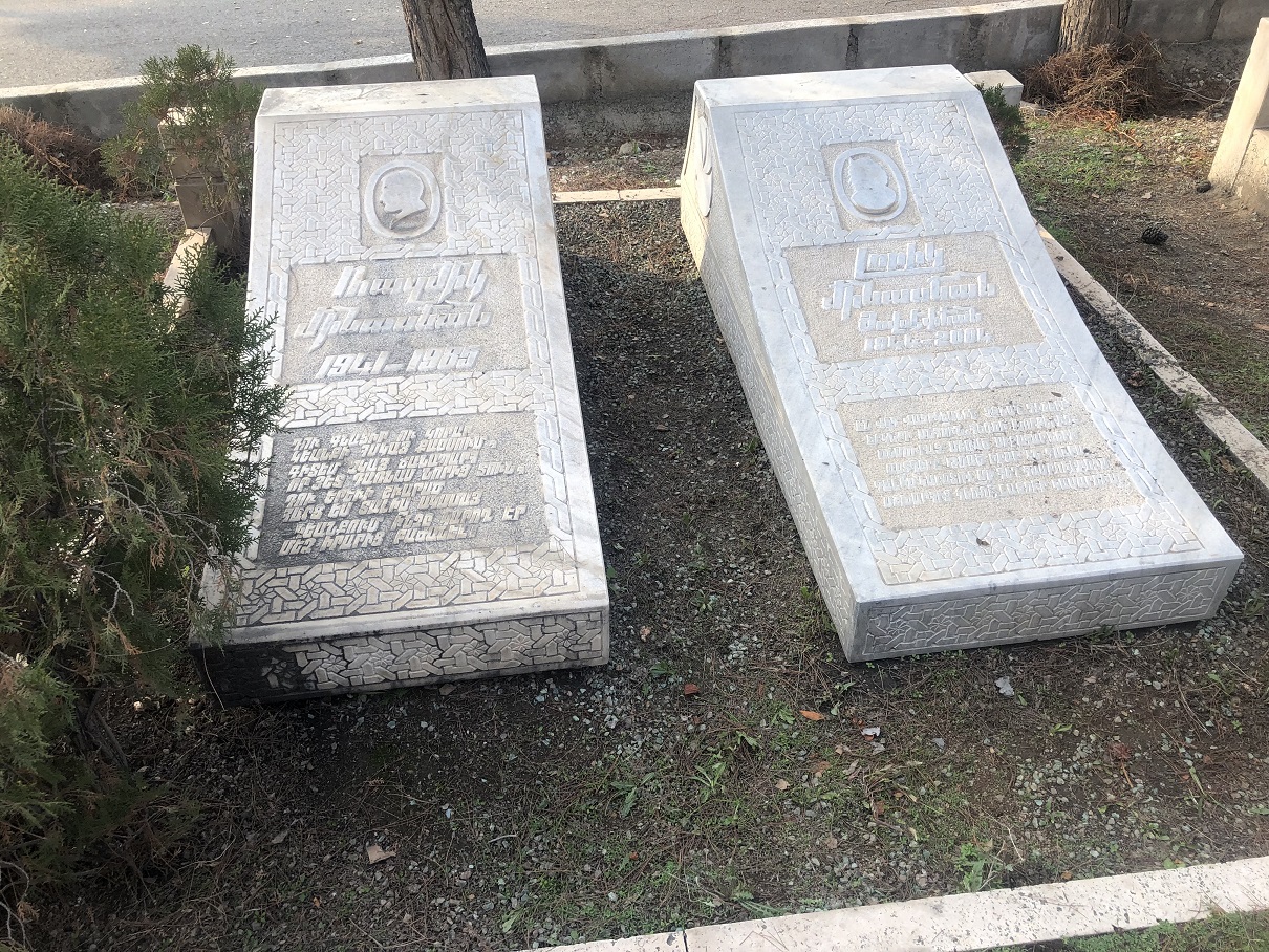


Why visit Khāvar Shahr
Townapedia lists 7 parks and trails and 2 places to eat in and around town.
Weather in Khāvar Shahr
Forecast from MET Norway (CC BY 4.0). Full forecast
About Khāvar Shahr
Khavar Shahr (Persian: خاورشهر) is a village in Ghaniabad Rural District of the Central District of Ray County, Tehran province, Iran.
From the Wikipedia article Khavar Shahr (this version), under CC BY-SA 4.0.
Parks, trails and playgrounds7

Restaurants and cafes2


Churches and places of worship3

Shopping5

دامداری سیری
Grocery · 2.3 km
مصطفی خمینی کوچه شهداء سیری, شهرری
24/7


Gas and EV charging2
Schools, colleges and libraries2
Healthcare3
Map of Khāvar Shahr
24 places. The map loads OpenStreetMap tiles when you open it.
Getting there and nearby towns
Mehrabad International Airport (THR) is the nearest airport with scheduled flights listed in OpenStreetMap, 27 km away.
- Pākdasht 14 km southeast, about 14 min by car
- Bāqershahr 14 km west, about 14 min by car
- Tehran 20 km northwest, about 20 min by car
- Varāmīn 27 km south, about 27 min by car
- Eslamshahr 29 km west, about 29 min by car
- Tajrīsh 30 km northwest, about 30 min by car
- Pardīs 31 km northeast, about 31 min by car
- Lavāsān 31 km north, about 31 min by car
- Pīshvā 31 km southeast, about 31 min by car
- Golestān 34 km west, about 34 min by car
Drive times are estimates from straight-line distance, not routes.
Local news
Headlines from INDB.
Reviews, tips and questions
Loading what members have shared...
Sources and licences
- GeoNames (CC BY 4.0): population, coordinates, regions and time zone
- OpenStreetMap contributors (ODbL 1.0): places, airports, map data
- Wikidata (CC0 1.0): elevation, founding date, time zone, website
- Wikimedia Commons (see each image): photos
- Wikipedia (CC BY-SA 4.0): overview and history text
Photo credits
- Burastan Cemetery 0567, GTVM92, CC BY-SA 4.0
- Burastan Cemetery 0564, GTVM92, CC BY-SA 4.0
- Burastan Cemetery 0559, GTVM92, CC BY-SA 4.0
- Burastan Cemetery 0557, GTVM92, CC BY-SA 4.0
- Burastan Cemetery 0553, GTVM92, CC BY-SA 4.0
- Burastan Cemetery 0537, GTVM92, CC BY-SA 4.0
- Burastan Cemetery 0539, GTVM92, CC BY-SA 4.0
- Burastan Cemetery 0572, GTVM92, CC BY-SA 4.0
- Burastan Cemetery 0570, GTVM92, CC BY-SA 4.0
- Burastan Cemetery 0584, GTVM92, CC BY-SA 4.0
- Burastan Cemetery 0590, GTVM92, CC BY-SA 4.0
- Burastan Cemetery 0594, GTVM92, CC BY-SA 4.0
- Burastan Cemetery 0605, GTVM92, CC BY-SA 4.0
- Burastan Cemetery 0614, GTVM92, CC BY-SA 4.0
- Burastan Cemetery 0690, GTVM92, CC BY-SA 4.0
- Burastan Cemetery 0714, GTVM92, CC BY-SA 4.0
- Burastan Cemetery E0699, GTVM92, CC BY-SA 4.0
- Burastan Cemetery 0644, GTVM92, CC BY-SA 4.0
- Burastan Cemetery E0633, GTVM92, CC BY-SA 4.0
- Burastan Cemetery 0636, GTVM92, CC BY-SA 4.0
- Burastan Cemetery 0753, GTVM92, CC BY-SA 4.0
- Burastan Cemetery E0748, GTVM92, CC BY-SA 4.0
- Burastan Cemetery 0617, GTVM92, CC BY-SA 4.0
- Burastan Cemetery 0747, GTVM92, CC BY-SA 4.0
- Burastan Cemetery 0677, GTVM92, CC BY-SA 4.0
- Burastan Cemetery 0701, GTVM92, CC BY-SA 4.0
- Burastan Cemetery 0674, GTVM92, CC BY-SA 4.0
- Burastan Cemetery 0619, GTVM92, CC BY-SA 4.0
- Burastan Cemetery 0743, GTVM92, CC BY-SA 4.0
- Burastan Cemetery 0737, GTVM92, CC BY-SA 4.0
- Burastan Cemetery E0735, GTVM92, CC BY-SA 4.0
- Burastan Cemetery 0739, GTVM92, CC BY-SA 4.0
- Burastan Cemetery 0952, GTVM92, CC BY-SA 4.0
- Burastan Cemetery 0776, GTVM92 ۲۰۰۳, CC BY-SA 4.0
- Burastan Cemetery 0955, GTVM92, CC BY-SA 4.0
- Burastan Cemetery 0936, GTVM92, CC BY-SA 4.0
- Burastan Cemetery 0926, GTVM92, CC BY-SA 4.0
- Burastan Cemetery 0931, GTVM92, CC BY-SA 4.0
- Burastan Cemetery 0959, GTVM92, CC BY-SA 4.0
- Burastan Cemetery 0946, GTVM92, CC BY-SA 4.0


Page built November 8, 2026. Spotted a mistake? Tell us or suggest a place.