


Why visit Neyrang
Townapedia lists 2 museums and landmarks, 1 park or trail, 1 place to eat and 1 place to stay in and around town.
Weather in Neyrang
Forecast from MET Norway (CC BY 4.0). Full forecast
About Neyrang
Neyrang (Persian: نيرنگ) is a village in Kheyrud Kenar Rural District of the Central District in Nowshahr County, Mazandaran province, Iran.
From the Wikipedia article Neyrang (this version), under CC BY-SA 4.0.
Museums and landmarks2

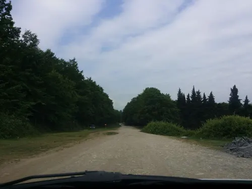
Parks, trails and playgrounds1
Restaurants and cafes1
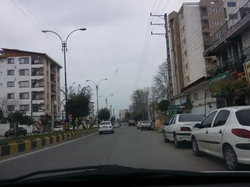


Where to stay1

Churches and places of worship1
Shopping1
لبنیات و پروتِینی دوماس
Grocery · 2.0 km
بزرگراه سپهبد شهید حاج قاسم سلیمانی, نوشهر
Schools, colleges and libraries6
Map of Neyrang
13 places. The map loads OpenStreetMap tiles when you open it.
Getting there and nearby towns
Noshahr Airport (NSH) is the nearest airport with scheduled flights listed in OpenStreetMap, 5 km away.
- Tāzehābād 1 km northeast, about 1 min by car
- Nowshahr 3 km northeast, about 3 min by car
- Chālūs 6 km northwest, about 6 min by car
- Salmānshahr 27 km west, about 27 min by car
- Kalārdasht 30 km southwest, about 30 min by car
- Nūr 48 km east, about 48 min by car
- Tonekābon 58 km west, about 58 min by car
- Kolāksar 79 km east, about 1 h 15 min by car
- Āmol 80 km east, about 1 h 15 min by car
- Rāmsar 81 km northwest, about 1 h 15 min by car
Drive times are estimates from straight-line distance, not routes.
Local news
Headlines from INDB.
Reviews, tips and questions
Loading what members have shared...
Sources and licences
- GeoNames (CC BY 4.0): population, coordinates, regions and time zone
- Mapillary (see each image): photos
- OpenStreetMap contributors (ODbL 1.0): places, airports, map data
- Wikidata (CC0 1.0): elevation, founding date, time zone, website, landmarks and historic places
- Wikimedia Commons (see each image): photos
- Wikipedia (CC BY-SA 4.0): overview and history text
Photo credits
- رودخانه نیرنگ - panoramio (1), ak ba, CC BY-SA 3.0
- کناره رودخانه نیرنگ - panoramio (2), ak ba, CC BY-SA 3.0
- کناره رودخانه نیرنگ - panoramio (1), ak ba, CC BY-SA 3.0
- کناره رودخانه نیرنگ - panoramio, ak ba, CC BY-SA 3.0
- رودخانه نیرنگ - panoramio, ak ba, CC BY-SA 3.0
- Synchita mediolanensis Villa & Villa, 1833 (22871531373), Udo Schmidt from Deutschland, CC BY-SA 2.0
- Amazing Fall In Nowshahr Jungle - panoramio, ak ba, CC BY-SA 3.0
- Amazing Fall In Nowshahr Jungle - panoramio (3), ak ba, CC BY-SA 3.0
- شمال زیبا - panoramio, ak ba, CC BY-SA 3.0
- Sang-e-Tajan - panoramio (1), ak ba, CC BY-SA 3.0
- Sang-e-Tajan - panoramio, ak ba, CC BY-SA 3.0
- Amazing Fall In Nowshahr Jungle - panoramio (2), ak ba, CC BY-SA 3.0
- Amazing Fall In Nowshahr Jungle - panoramio (1), ak ba, CC BY-SA 3.0
- کمربندی چالوس نوشهر - panoramio, ak ba, CC BY-SA 3.0
- کمربندی چالوس نوشهر - panoramio (1), ak ba, CC BY-SA 3.0
- کمربندی چالوس نوشهر - panoramio (2), ak ba, CC BY-SA 3.0
- Pycnomerus (Dechomus) sulcicollis (Germar, 1824) (15307804469), Udo Schmidt from Deutschland, CC BY-SA 2.0
- Pycnomerus sulcicollis (Germar, 1824) (15307804469), Udo Schmidt from Deutschland, CC BY-SA 2.0
- Omoglymmius germari (Ganglbauer, 1891) (24262075956), Udo Schmidt from Deutschland, CC BY-SA 2.0
- کمربندی نوشهر - panoramio, ak ba, CC BY-SA 3.0
- Street-level photo, pilsa, CC BY-SA 4.0
- Street-level photo, pilsa, CC BY-SA 4.0
- Street-level photo, pilsa, CC BY-SA 4.0
- Street-level photo, pilsa, CC BY-SA 4.0


Page built November 8, 2026. Spotted a mistake? Tell us or suggest a place.