
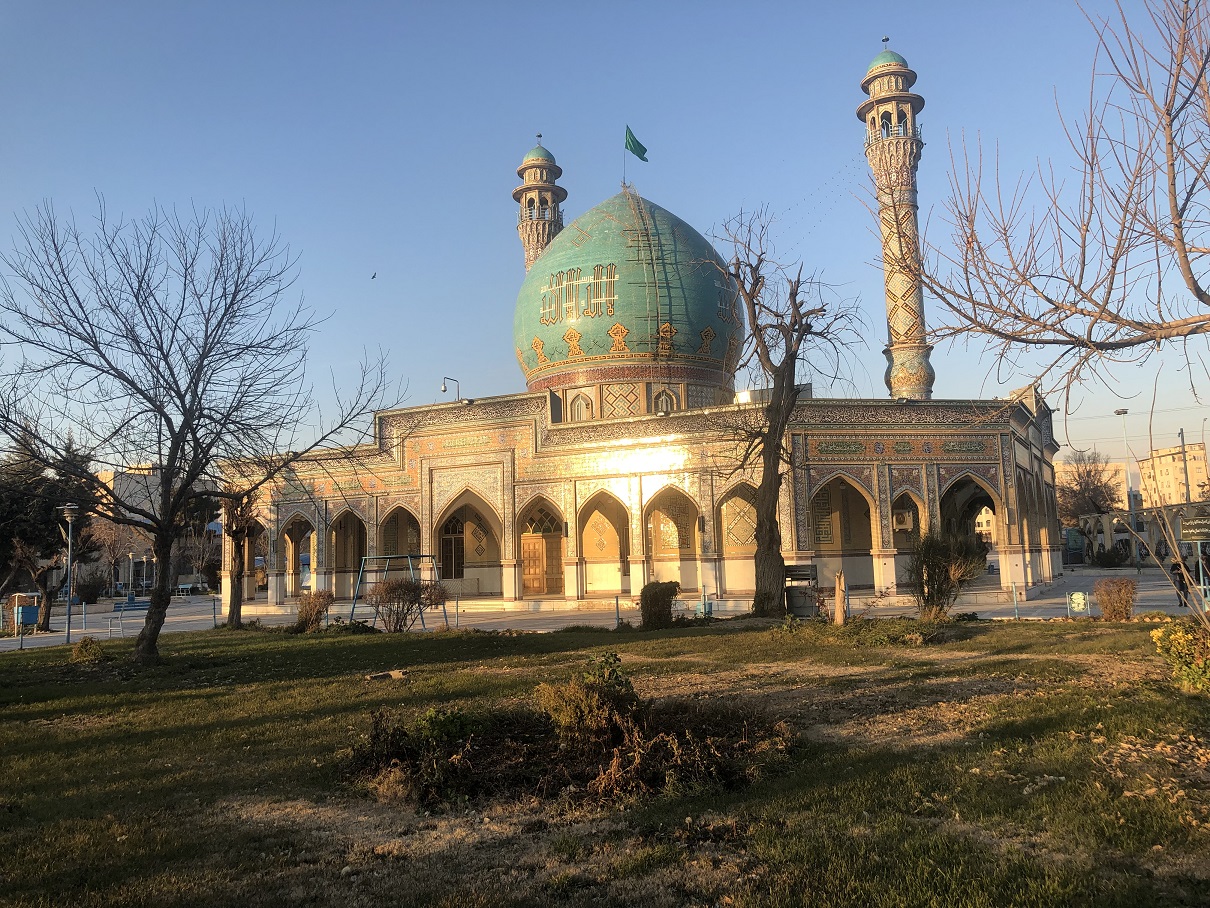


Shahrak-e Nahāl Va Baz̄r, Iran
Shahrak-e Nahāl Va Baz̄r is a town of 2,001 people in Alborz Province, Iran.
Why visit Shahrak-e Nahāl Va Baz̄r
Townapedia lists 1 museum or landmark, 6 parks and trails and 8 places to eat in and around town.
Highlights include Imamzadeh Taher (Karaj).
Weather in Shahrak-e Nahāl Va Baz̄r
Forecast from MET Norway (CC BY 4.0). Full forecast
Museums and landmarks1
Imamzadeh Taher (Karaj)
Monument and historic site · 3.8 km
Imamzadeh in Karaj, Iran
Parks, trails and playgrounds6

Restaurants and cafes8



Churches and places of worship5

Shopping3
Gas and EV charging6
Schools, colleges and libraries7
هنرستان فنی و حرفه ای امام خمینی
School · 2.4 km
یلوار شهید خانزاده, faz4 mehehshar
Healthcare3
گلاب و عرقیات افشار بهارستان
Clinic and pharmacy · 2.2 km
کرج میدان استاندارد بلوار کامیون داران گلستان هشتم
Map of Shahrak-e Nahāl Va Baz̄r
39 places. The map loads OpenStreetMap tiles when you open it.
Getting there and nearby towns
Payam Airport (PYK) is the nearest airport with scheduled flights listed in OpenStreetMap, 11 km away.
- Karaj 6 km northeast, about 6 min by car
- Shahre Jadide Andisheh 14 km southeast, about 14 min by car
- Qods 16 km southeast, about 16 min by car
- Shahrīār 18 km southeast, about 18 min by car
- Parand 35 km south, about 35 min by car
- Robāţ Karīm 36 km south, about 36 min by car
- Eslamshahr 37 km southeast, about 37 min by car
- Golestān 37 km southeast, about 37 min by car
- Ṣāleḥīeh 38 km southeast, about 38 min by car
- Tehran 44 km east, about 44 min by car
Drive times are estimates from straight-line distance, not routes.
Local news
Headlines from INDB.
Reviews, tips and questions
Loading what members have shared...
Sources and licences
- GeoNames (CC BY 4.0): population, coordinates, regions and time zone
- OpenStreetMap contributors (ODbL 1.0): places, airports, map data
- Wikidata (CC0 1.0): elevation, founding date, time zone, website, landmarks and historic places
- Wikimedia Commons (see each image): photos
Photo credits
- Emamzadeh Taher 3117, GTVM92, CC BY-SA 4.0
- Aulonium trisulcum (Geoffroy 1785) (23278534606), Udo Schmidt from Deutschland, CC BY-SA 2.0
- Mohammad shahr metro, Matin abdavi, CC BY-SA 4.0
- ورودی متروی محمدشهر - panoramio, Ali.N.N, CC BY-SA 3.0
- Railway - panoramio (46), Ali Safdarian, CC BY 3.0
- Iran's first iron and steel factory-2 by imirsay, Imirsay, CC BY-SA 4.0
- Iran's first iron and steel factory-3 by imirsay, Imirsay, CC BY-SA 4.0
- Iran's first iron and steel factory-1 by imirsay, Imirsay, CC BY-SA 4.0
- Iran's first iron and steel factory-4 by imirsay, Imirsay, CC BY-SA 4.0
- Iran's first iron and steel factory-5 by imirsay, Imirsay, CC BY-SA 4.0
- Shahid bahonar4, Kndanesmand, CC0
- پایانه اتوبوسرانی کرج, Parsa 2au, CC BY-SA 4.0


Page built November 8, 2026. Spotted a mistake? Tell us or suggest a place.