



Hanawa, Japan
鹿角市
Hanawa is a town of 36,925 people in Akita, Japan, founded in April 1, 1972.
Why visit Hanawa
Townapedia lists 47 museums and landmarks, 59 parks and trails, 78 places to eat, 24 places to stay and 47 attractions in and around town.
Highlights include Hanawa Ski Resort, Mt. Itadokashira, Ōyu Stone Circles and 灯篭.
Weather in Hanawa
Forecast from MET Norway (CC BY 4.0). Full forecast
About Hanawa
Kazuno (鹿角市, Kazuno-shi; Japanese pronunciation: [ka.(d)zɯ.no, kaꜜ.(d)zɯ.no, ka.(d)zɯ.noꜜ.ɕi]) is a city located in Akita Prefecture, Japan. As of 28 March 2023, the city had an estimated population of 28,329 in 12,570 households, and a population density of 40 persons per km2. The total area of the city is 707.52 square kilometres (273.17 square miles).
From the Wikipedia article Kazuno (this version), under CC BY-SA 4.0.
Things to do47

Hanawa Ski Resort
Ski area · 3.1 km
Sports complex in Kazuno, Akita, Japan



35 more on the map.
Museums and landmarks47

Ōyu Stone Circles
Monument and historic site · 9.9 km
Japanese late Jōmon period archaeological site



35 more on the map.
Parks, trails and playgrounds59

Towada-Hachimantai National Park
Park · 17.1 km
National park of Japan




47 more on the map.
Restaurants and cafes78






66 more on the map.
History
The area of present-day Kazuno was settled in prehistoric times, and contains major Jōmon period archaeological sites and numerous burial mounds from the Kofun period. The area was part of ancient Mutsu Province and was ruled by the Nambu clan of Morioka Domain during the Edo period. After the start of the Meiji period, the area became briefly part of Rikuchū Province before being transferred to Akita Prefecture in 1871. It was organized as part of Kazuno District, Akita Prefecture in 1878 with the establishment of the modern municipalities system.
The city of Kazuno was founded on April 1, 1972 by the merger of the towns of Hanawa, Towada, and Osarizawa and the village of Hachimantai.
From the History section of Kazuno on Wikipedia, under CC BY-SA 4.0.
Where to stay24
Churches and places of worship182
Shopping27
Gas and EV charging8
Schools, colleges and libraries15
Healthcare25
Map of Hanawa
250 places. The map loads OpenStreetMap tiles when you open it.
Getting there and nearby towns
Odate-Noshiro Airport (ONJ) is the nearest airport with scheduled flights listed in OpenStreetMap, 35 km away.
- Ōdate 22 km northwest, about 22 min by car
- Takanosu 36 km west, about 36 min by car
- Hirosaki 53 km northwest, about 53 min by car
- Kuroishi 54 km north, about 54 min by car
- Namioka 61 km north, about 1 h by car
- Morioka 62 km southeast, about 1 h by car
- Itayanagi 63 km northwest, about 1 h by car
- Noshiro 65 km west, about 1 h by car
- Shichinohe 64 km northeast, about 1 h by car
- Aomori 71 km north, about 1 h 15 min by car
Drive times are estimates from straight-line distance, not routes.
Local news
Headlines from INDB.
Reviews, tips and questions
Loading what members have shared...
Sources and licences
- GeoNames (CC BY 4.0): population, coordinates, regions and time zone
- OpenStreetMap contributors (ODbL 1.0): places, airports, map data
- Wikidata (CC0 1.0): elevation, founding date, time zone, website, landmarks and historic places
- Wikimedia Commons (see each image): photos
- Wikipedia (CC BY-SA 4.0): overview and history text
Photo credits
- Kazunoshiyakusyo, Ogaj1017, CC BY-SA 3.0
- Akita Prefectural Hanawa High School, 掬茶, CC BY-SA 4.0
- Old-Sekizen-Sake-Store and Hanawa-bayashi 2017, Thirteen-fri, CC BY-SA 4.0
- Hanawapostoffice, Rufiyaa, CC BY-SA 4.0
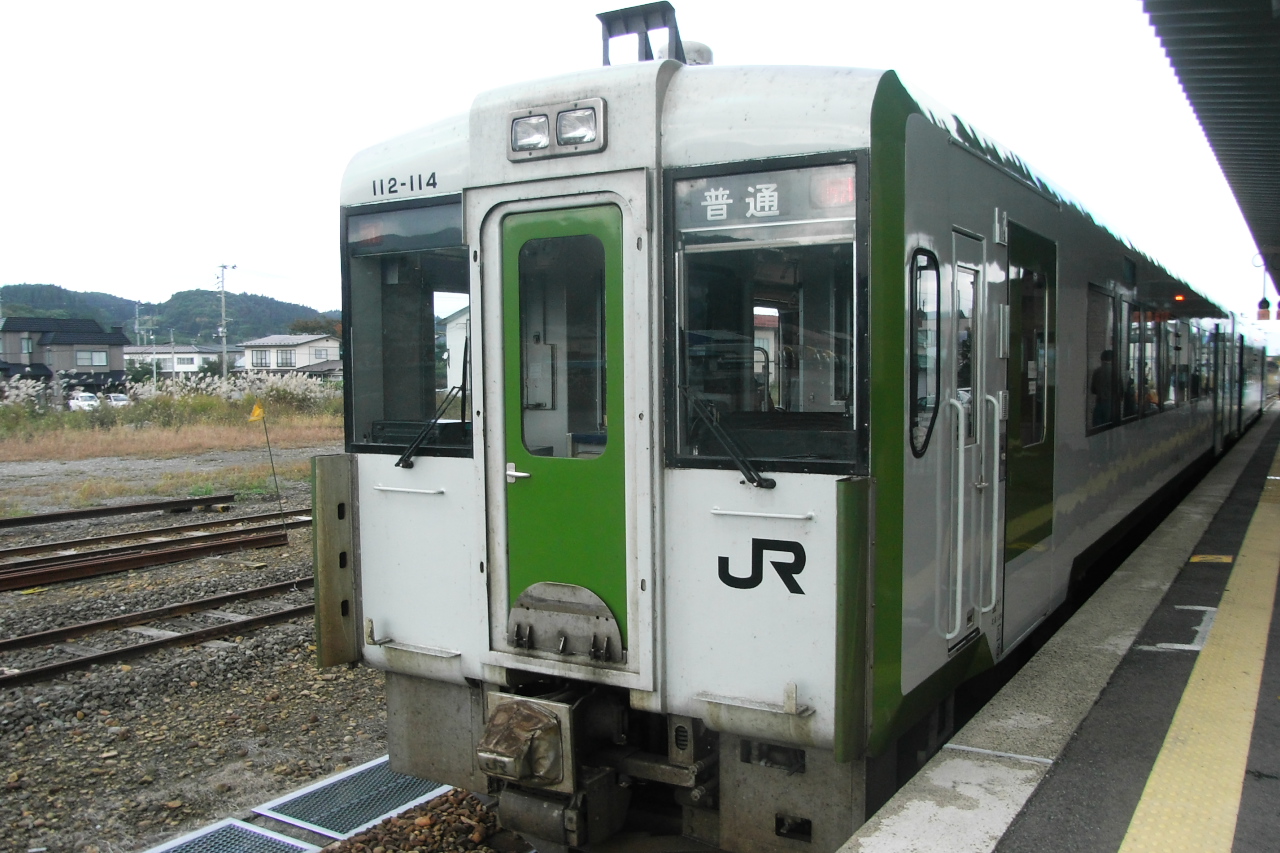
- KiHa 112-114 at Kazuno-Hanawa Station 20081011, Yamaguchi Yoshiaki from Japan, CC BY-SA 2.0
- Kazuno-Hanawa Station - panoramio (1), Kaz Ish, CC BY-SA 3.0
- Kazuno-Hanawa Station - panoramio, Kaz Ish, CC BY-SA 3.0
- Hanawabayashi 2017 (Funabamachi), Thirteen-fri, CC BY-SA 4.0
- Hanawa Highschool, Yauchi, CC BY-SA 4.0
- Hananoyu (Akita-Kaduno-Hanawa) 2017- 07, Thirteen-fri, CC BY-SA 4.0
- Hananoyu (Akita-Kaduno-Hanawa) 2017- 04, Thirteen-fri, CC BY-SA 4.0
- Hanawabayashi 2017 (Yachidamachi), Thirteen-fri, CC BY-SA 4.0
- Hananoyu (Akita-Kaduno-Hanawa) 2017- 08, Thirteen-fri, CC BY-SA 4.0
- Hananoyu (Akita-Kaduno-Hanawa) 2017- 06, Thirteen-fri, CC BY-SA 4.0
- Hananoyu (Akita-Kaduno-Hanawa) 2017- 02, Thirteen-fri, CC BY-SA 4.0
- Hananoyu (Akita-Kaduno-Hanawa) 2017- 05, Thirteen-fri, CC BY-SA 4.0
- Hananoyu (Akita-Kaduno-Hanawa) 2017- 03, Thirteen-fri, CC BY-SA 4.0
- Hananoyu (Akita-Kaduno-Hanawa) 2017- 01, Thirteen-fri, CC BY-SA 4.0
- Hanawabayashi 2017 (Omachi), Thirteen-fri, CC BY-SA 4.0
- Hanawabayashi 2017 (Machiodori), Thirteen-fri, CC BY-SA 4.0
- Hanawa Ski Area jan 2023b, 掬茶, CC BY-SA 4.0
- Oyu stone circles 20180916a, 掬茶, CC BY-SA 4.0
- Oirase Stream 川(かわ), TANAKA Juuyoh (田中十洋), CC BY 2.0
- Mount Gonomiyadake in Kazuno City, 掬茶, CC BY-SA 4.0
- Dainichi-dō bugaku godai sonmai 01, Wc018, CC BY-SA 4.0
- Akita Rosai Hospital, Ebiebi2, CC BY-SA 3.0
- Kazuno city Shibahira elementary school 20260705, 掬茶, CC BY-SA 4.0
- Kazuno city Hanawa junior high school, 掬茶, CC BY-SA 4.0
- Kazuno Kosei Hospital, Ebiebi2, CC BY-SA 3.0
- Amaterasu-sumemioya-jinja 20211009a, 掬茶, CC BY-SA 4.0
- Kazuno city Hanawa-Kita elementary school, 掬茶, CC BY-SA 4.0
- Kazuno city Hiramoto elementary school, 掬茶, CC BY-SA 4.0
- Kazuno city Towada elementary school, 掬茶, CC BY-SA 4.0
- Kazuno city Hachimantai elementary school, 掬茶, CC BY-SA 4.0
- Odate city Seisho elementary school, 掬茶, CC BY-SA 4.0
- Kazuno city Towada junior high school, 掬茶, CC BY-SA 4.0
- Kazuno city Hachimantai junior high school, 掬茶, CC BY-SA 4.0
- Odate city Seisho junior high school, 掬茶, CC BY-SA 4.0
- Santetu zinzya, らんで, CC BY-SA 4.0
- Rôken zinzya, らんで, CC BY-SA 4.0
- 2024 Otemon Tower · JX Building, Kakidai, CC BY-SA 4.0
- Yagamidake, らんで, CC BY-SA 4.0
- Kazuno city Osarizawa junior high school, 掬茶, CC BY-SA 4.0


Page built November 4, 2026. Spotted a mistake? Tell us or suggest a place.