


Higashikurume, Japan
東久留米市
Higashikurume is a town of 117,020 people in Tokyo, Japan, founded in April 1, 1889.
Why visit Higashikurume
Townapedia lists 19 museums and landmarks, 160 parks and trails, 185 places to eat, 1 place to stay and 17 attractions in and around town.
Highlights include Asia University, Japan College of Social Work, Tamarokuto Science Center and Edo-Tokyo Open Air Architectural Museum.
Weather in Higashikurume
Forecast from MET Norway (CC BY 4.0). Full forecast
About Higashikurume
Higashikurume (東久留米市, Higashi-kurume-shi) is a city located in the western portion of the Tokyo Metropolis, Japan. As of 1 April 2021, the city had an estimated population of 117,020, and a population density of 9100 persons per km2. The total area of the city was 12.88 square kilometres (4.97 sq mi).
From the Wikipedia article Higashikurume, Tokyo (this version), under CC BY-SA 4.0.
Things to do17


Japan College of Social Work
School · 1.6 km
Private university in Tokyo, Japan

Jumonji University
School · 6.3 km
Higher education institution in Saitama Prefecture, Japan

Meiji Pharmaceutical University
School · 3.4 km
Private university in Kiyose, Tokyo, Japan

Musashino Art University
School · 6.5 km
University in Kodaira, western Tokyo

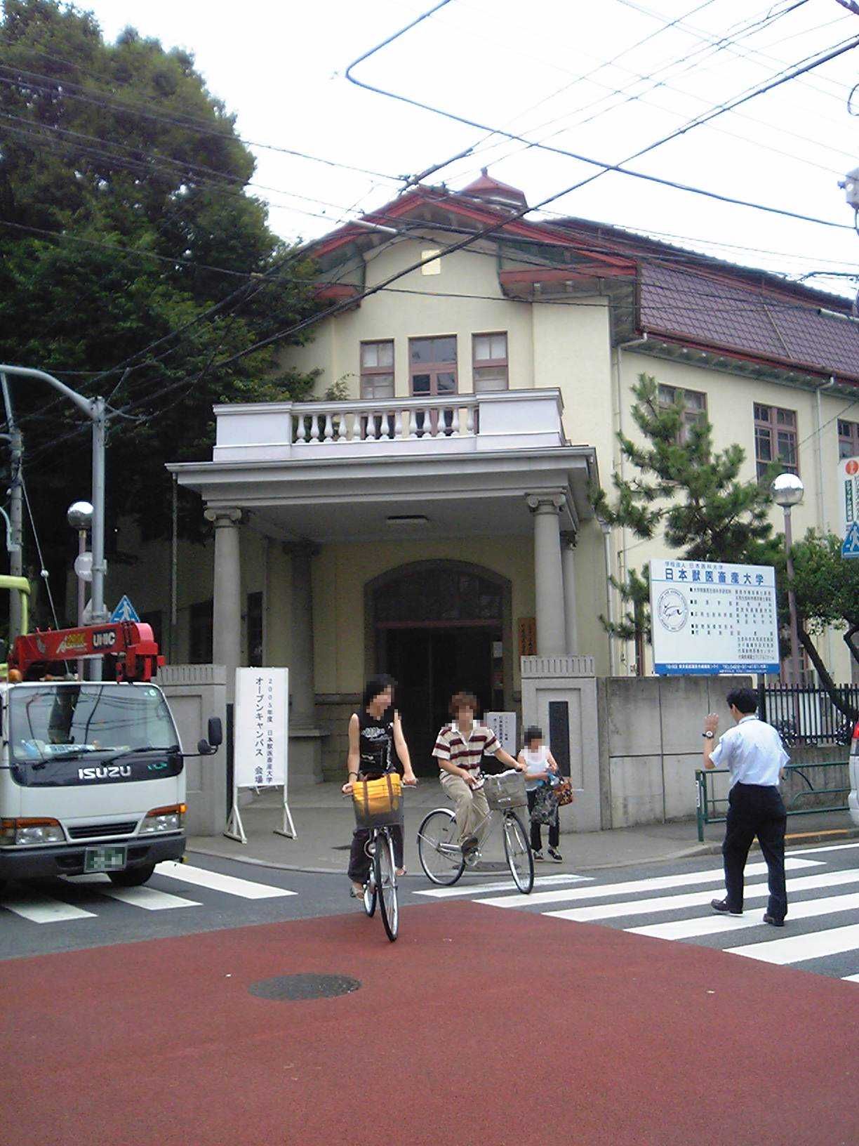
Nippon Veterinary and Life Science University
School · 6.4 km
Private university in Tokyo

Seibu-en
Monument and historic site · 6.5 km
Amusement park in Tokorozawa, Japan


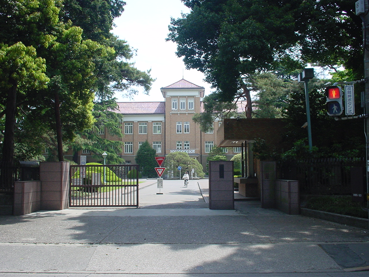

5 more on the map.
Museums and landmarks19
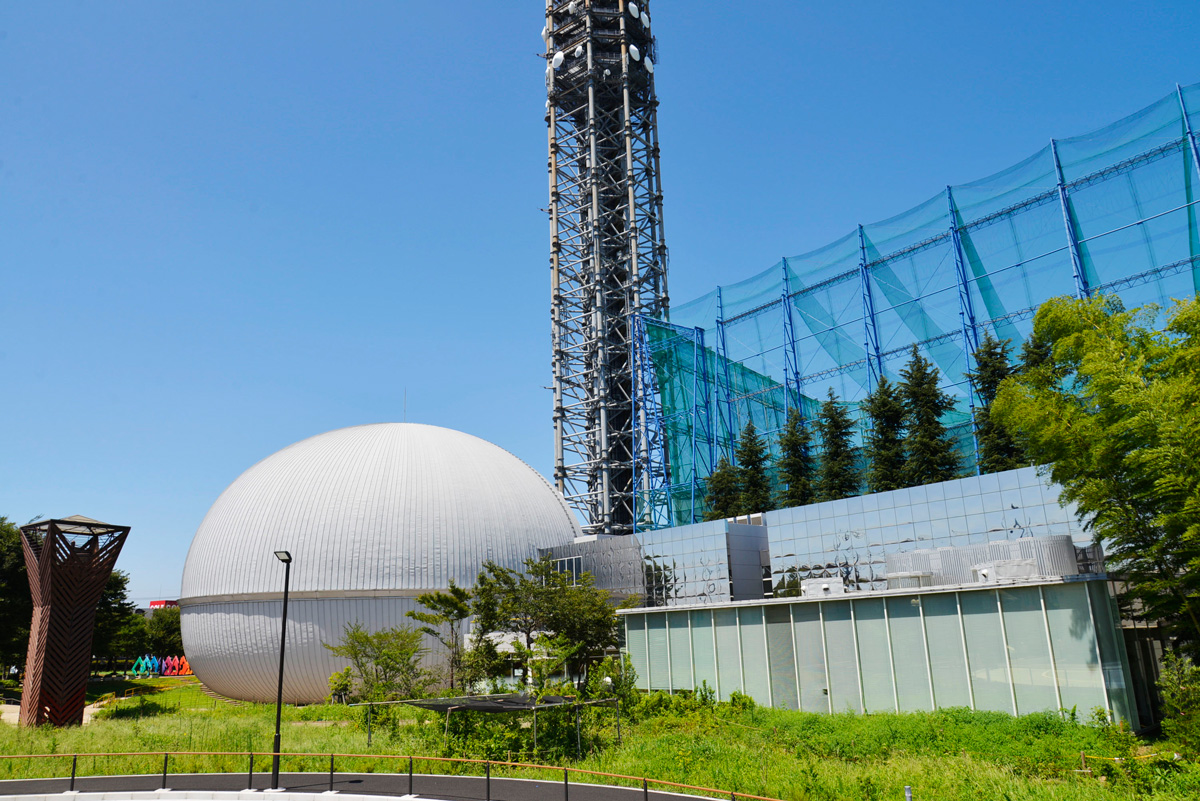


Kodaira Hirakushi Denchu Art Museum
Museum · 5.0 km
Art museum in Tokyo, Japan

Shitanoya Site
Monument and historic site · 5.4 km
Archaeological site in Tokyo, Japan

Suzuki Site
Monument and historic site · 4.0 km
Archaeological site in Kodaira, Japan



7 more on the map.
Parks, trails and playgrounds160


Higashikurumeshi Chikurin Park
Park · 2.0 km
Park in Higashikurume, Japan




Taki-no Castle
Park · 5.7 km
Building in Tokorozawa, Saitama Prefecture, Japan

Tokorozawa Aviation Memorial Park
Park · 6.1 km
Park in Tokorozawa, Saitama Prefecture, Japan

148 more on the map.
Restaurants and cafes185




焼肉ホルモン ごっち
Restaurant · Barbecue · 2.4 km
Mo 11:00-14:30; Mo 17:00-22:00; We-Su 11:00-14:30; We-Su 17:00-23:00
173 more on the map.
History
The area of present-day Higashikurume was part of ancient Musashi Province. In the post-Meiji Restoration cadastral reform of April 1, 1889, Kurume Village were established within Kitatama District of Kanagawa Prefecture. The entire district was transferred to the control of Tokyo Prefecture on April 1, 1893. The area began development after connection to central Tokyo was established by the Musashino Railway from 1915. In 1956, the village of Kurume attained town status. In the 1960s and 1970s, the population rapidly expanded with the construction of large public housing estates. The city was founded on October 1, 1970.
From the History section of Higashikurume, Tokyo on Wikipedia, under CC BY-SA 4.0.
Where to stay1
Churches and places of worship26
Shopping49
Gas and EV charging11
Schools, colleges and libraries61
Healthcare68
Map of Higashikurume
250 places. The map loads OpenStreetMap tiles when you open it.
Getting there and nearby towns
Yokota Air Base (OKO) is the nearest airport with scheduled flights listed in OpenStreetMap, 15 km away.
- Nishi-Tokyo-shi 4 km southeast, about 4 min by car
- Higashimurayama 4 km west, about 4 min by car
- Tokorozawa 7 km northwest, about 7 min by car
- Kokubunji 6 km southwest, about 6 min by car
- Musashino 7 km southeast, about 7 min by car
- Niiza 9 km northeast, about 9 min by car
- Asaka 10 km northeast, about 10 min by car
- Akishima 12 km west, about 12 min by car
- Sayama 14 km northwest, about 14 min by car
- Tokyo 18 km southeast, about 18 min by car
Drive times are estimates from straight-line distance, not routes.
Local news
Headlines from INDB.
Reviews, tips and questions
Loading what members have shared...
Sources and licences
- GeoNames (CC BY 4.0): population, coordinates, regions and time zone
- OpenStreetMap contributors (ODbL 1.0): places, airports, map data
- Wikidata (CC0 1.0): elevation, founding date, time zone, website, landmarks and historic places
- Wikimedia Commons (see each image): photos
- Wikipedia (CC BY-SA 4.0): overview and history text
Photo credits
- Higashikurumecityoffice, Ishimochi at Japanese Wikipedia, CC BY-SA 3.0
- Eugene Ormandy at Wikipedia town in Higashikurume 2025-11 03, Aspere, CC0
- Eugene Ormandy at Wikipedia town in Higashikurume 2025-11 01, Aspere, CC0
- Eugene Ormandy at Wikipedia town in Higashikurume 2025-11 02, Aspere, CC0
- Wikipedia Town in Higashikurume, 2025-11-09 06, Aspere, CC0
- Wikipedia Town in Higashikurume, 2025-11-09 04, Aspere, CC0
- Wikipedia Town in Higashikurume, 2025-11-09 03, Aspere, CC0
- Wikipedia Town in Higashikurume, 2025-11-09 05, Aspere, CC0
- Wikipedia Town in Higashikurume, 2025-11-09 02, Aspere, CC0
- Wikipedia Town in Higashikurume, 2025-11-09 01, Aspere, CC0
- Tokutoku Market, Higashikurume, Tokyo - Nov 7, 2021, Mikhail Kotykhov, CC BY 2.0
- Asia-University-Japan, The original uploader was Itasan at Japanese Wikipedia ., CC BY-SA 3.0
- Meiji Pharmaceutical University, Nyao148, CC BY-SA 3.0
- Musashino Art University, The original uploader was Hykw-a4 at Japanese Wikipedia ., CC BY-SA 3.0
- Ariake Campus, Musashino University, Kakidai, CC BY-SA 4.0
- Jyuuitikusanuniv, The original uploader was Hykw-a4 at Japanese Wikipedia ., CC BY-SA 3.0
- Seibuen Amusement Park (11152952796), Tomohiro Ohtake from Kawasaki, Japan, CC BY 2.0
- Tokyokeizaiuniv, Original uploader was Hykw-a4 at ja.wikipedia, CC BY-SA 3.0
- Tsudajukuuniv, The original uploader was Hykw-a4 at Japanese Wikipedia ., CC BY-SA 3.0
- Entrance of the Edo-Tokyo Open Air Architectural Museum, Fumiya Fujihara, CC BY 2.0
- Kodaira Hirakushi Denchu Art Museum front, Calton, CC BY-SA 4.0
- Shimonoya iseki park, 妖精書士, CC0
- Suzuki Remains Museum, Nyao148, CC BY-SA 3.0
- Chikurin Park in Higashikurume-shi (50547377101), Mikhail Kotykhov from Tokyo, Japan, CC BY 2.0
- Koganei-Park, Itasan, CC BY 3.0
- 武蔵関公園「富士見池」(中之橋から北東ボート乗り場方面)練馬区, Guy-aan, CC BY-SA 4.0
- Waterfall Castle Moat, Bryanmackinnon, Public domain
- Tokorozawa Aviation Commemorative Park, Abasaa, Public domain
- Tonogayato1, Irina Gelbukh, CC BY-SA 3.0
- Tama Zenshoen Sanatorium gate, photo: Qurren ( talk ) Taken with Canon PowerShot G9 X, CC BY-SA 3.0
- National Hansen's Disease Museum (Japan) 2, photo: Qurren ( talk ) Taken with Canon PowerShot G9 X, CC BY-SA 3.0
- GAS MUSEUM (Kodaira) 02, Suikotei, CC BY-SA 4.0
- SkyTower NishiTokyo, Kakidai, CC BY-SA 3.0
- Showa General Hospital, Abasaa, Public domain
- 多摩六都科学館, Fujie0511, CC BY-SA 4.0
- 氷川神社(東久留米市)002, あひる社, CC BY-SA 4.0
- National Hospital Organization Tokyo National Hospital, Waka77, CC0
- Aeon Mall Higashikurume, Yasu ( talk ), CC BY-SA 3.0
- 多聞寺本堂, 力久俊治, CC BY-SA 4.0
- Beijinji 20241006, Eugene Ormandy, CC0
- Shinmeisya shrine Higashikurume Tokyo, Mizushimasea, CC BY-SA 4.0
- Maesawa Hachiman Shrine ac (2), Asturio Cantabrio, CC BY-SA 4.0
- Inari Jinja (Onumacho, Kodaira), Abasaa, Public domain
- Musashino Jinja, Abasaa, Public domain
- Emmei-ji (Kodaira), Abasaa, Public domain
- Enjo-in (Kodaira), Abasaa, Public domain
- Siraumegakuen, The original uploader was Hykw-a4 at Japanese Wikipedia ., CC BY-SA 3.0
- Jumonji Univ, 杉山真大, CC BY-SA 3.0
- Itoen Kagurazaka building, Mochizuki1018, CC BY 4.0
- 東村山市青葉町 全盛園前信号 20260218, Mikagekawase, CC BY 4.0
- Hachikokuyama Taiken no Sato 2023-09-10, Asanagi, CC0


Page built November 4, 2026. Spotted a mistake? Tell us or suggest a place.