


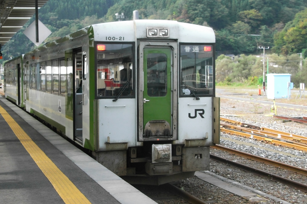


Kamaishi, Japan
釜石市
Kamaishi is a town of 43,107 people in Iwate, Japan, founded in April 1, 1889.
Why visit Kamaishi
Townapedia lists 54 museums and landmarks, 50 parks and trails, 104 places to eat, 27 places to stay and 8 attractions in and around town.
Highlights include 釜石市民ホール TETTO, Mt. Kamomemori, Iron and Steel History Museum and 釜石市郷土資料館.
Weather in Kamaishi
Forecast from MET Norway (CC BY 4.0). Full forecast
About Kamaishi
Kamaishi (釜石市, Kamaishi-shi) is a city located on the Sanriku coast in Iwate Prefecture, Japan. As of 31 March 2020, the city had an estimated population of 32,609, and a population density of 74 persons per km2, in 16,230 households. The total area of the city is 441.43 square kilometres (170.44 sq mi)
From the Wikipedia article Kamaishi, Iwate (this version), under CC BY-SA 4.0.
Travel tips from other travellers: Kamaishi on Wikivoyage (CC BY-SA 4.0).
Things to do8



Museums and landmarks54




Memorial Monument to the Great East Japan Earthquake
Monument and historic site · 5.9 km
Monument to Citizens’ Charter for Disaster Prevention
Monument and historic site · 5.9 km
Monument to the site of the disaster prevention center
Monument and historic site · 5.8 km
42 more on the map.
Parks, trails and playgrounds50
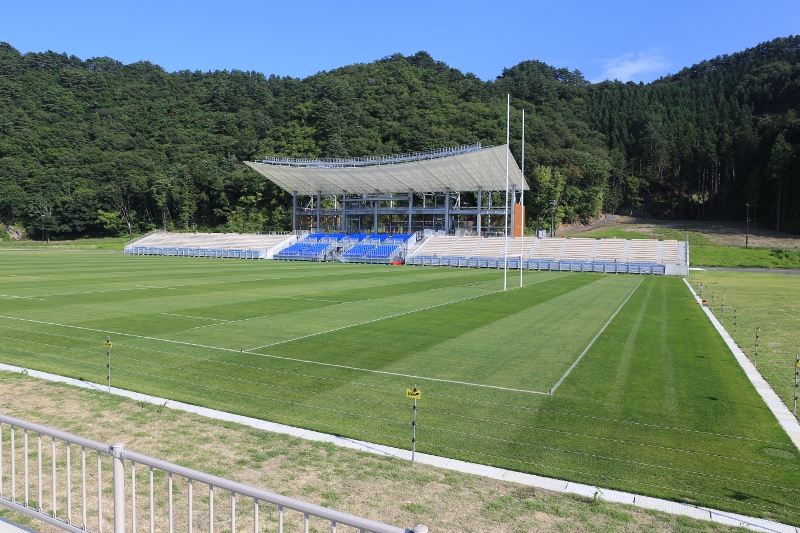

38 more on the map.
Restaurants and cafes104





92 more on the map.
Where to stay27
Churches and places of worship29
Shopping18
Gas and EV charging7
Schools, colleges and libraries25
Healthcare32
Map of Kamaishi
250 places. The map loads OpenStreetMap tiles when you open it.
Getting there and nearby towns
Hanamaki Airport (HNA) is the nearest airport with scheduled flights listed in OpenStreetMap, 65 km away.
- Ōtsuchi 10 km north, about 10 min by car
- Yamada 22 km north, about 22 min by car
- Ōfunato 26 km southwest, about 26 min by car
- Tōno 29 km west, about 29 min by car
- Miyako 42 km north, about 42 min by car
- Ōshū 62 km west, about 1 h by car
- Kanegasaki 65 km west, about 1 h by car
- Ichinoseki 75 km southwest, about 1 h 15 min by car
- Morioka 78 km northwest, about 1 h 15 min by car
- Shizukuishi 89 km northwest, about 1 h 30 min by car
Drive times are estimates from straight-line distance, not routes.
Local news
Headlines from INDB.
Reviews, tips and questions
Loading what members have shared...
Sources and licences
- GeoNames (CC BY 4.0): population, coordinates, regions and time zone
- OpenStreetMap contributors (ODbL 1.0): places, airports, map data
- Wikidata (CC0 1.0): elevation, founding date, time zone, website
- Wikimedia Commons (see each image): photos
- Wikipedia (CC BY-SA 4.0): overview and history text
Photo credits
- Kamaishi city hall, アラツク, CC BY-SA 4.0
- Kamaishi Elementary School 220507, Yauchi, CC BY-SA 4.0
- Kamaishi station , Iwate - panoramio, Kaz Ish, CC BY-SA 3.0
- JR Yamada line @Kamaishi (2953349725), Yamaguchi Yoshiaki from Japan, CC BY-SA 2.0
- Kamaishi station 2012.3.18 - panoramio, Kaz Ish, CC BY-SA 3.0
- JR&Sanriku Railway Kamaishi Station, Kickenovic, CC BY-SA 3.0
- Kamaishi station 2012.3.18 - panoramio (1), Kaz Ish, CC BY-SA 3.0
- Kamaishi , Iwate - panoramio, Kaz Ish, CC BY-SA 3.0
- Kamaishi station , Iwate - panoramio (1), Kaz Ish, CC BY-SA 3.0
- Kamaishi , Iwate - panoramio (1), Kaz Ish, CC BY-SA 3.0
- Kamaishi , Iwate - panoramio (2), Kaz Ish, CC BY-SA 3.0
- Kamaishi Grain Terminal, Iwate, Japan (48176227), born1945 from Hillsboro, Oregon, USA, CC BY 2.0
- UKISAR in 2011 Japan earthquake 13 Heavy snow in Kamaishi, DFID - UK Department for International Development, CC BY 2.0
- Kamaishi-20120901-tsunami damage1, Aude, CC BY-SA 3.0
- Sanriku Expressway Kamaishi-chuo Interchange, Yasu ( talk ), CC BY-SA 3.0
- Operation Tomodachi in Kamaishi, DVIDSHUB, CC BY 2.0
- Port of Kamaishi, -Oct. 2010 a, ひでわく, CC BY 2.1 jp
- Iwate Prefectural Kamaishi Commercial and Technical High School, Yasu ( talk ), CC BY-SA 3.0
- Sanriku Expressway Kamaishi Junction, Yasu ( talk ), CC BY-SA 3.0
- Iwate Prefectural Kamaishi Shoun Special Needs School, Yasu ( talk ), CC BY-SA 3.0
- Iwate Prefectural Otsuchi High School, Yasu ( talk ), CC BY-SA 3.0
- AEON TOWN Kamaishi, AEON MAN, CC BY-SA 3.0
- 釜石鵜住居復興スタジアム, Onini, CC BY-SA 4.0
- Ōtsuchi wind phone 5, Matthew Komatsu ( https://longreads.com/2019/03/11/after-the-tsunami/ ), CC BY-SA 4.0
- Otsuchi Municipal Otsuchi Gakuen, Yasu ( talk ), CC BY-SA 3.0
- Kamaishi Civic Hall, Ty19080914, CC BY-SA 4.0
- Museum Iron History , Kamaishi, Ty19080914, CC BY-SA 4.0
- Unosumi Shrine in Kamaishi, Iwate, Japan, Yasu ( talk ), CC BY-SA 3.0
- Kichijyoji Hondo,Otsuchi, Ty19080914, CC BY-SA 4.0
- Otsuchiinarijinjya,Otsuchi, Ty19080914, CC BY-SA 4.0
- Sekioji sanmon,Kamaishi, Ty19080914, CC BY-SA 4.0
- Senjyuin,Kamaishi, Ty19080914, CC BY-SA 4.0
- 釜石中学校, Ty19080914, CC BY-SA 4.0
- イオンタウン釜石, 佐藤翔太, CC BY-SA 4.0
- Otsuchi Municipal Kirikiri Elementary School, Yasu ( talk ), CC BY-SA 3.0
- Toni junior high school, Ty19080914, CC BY-SA 4.0
- Sanriku railway @Miyako (2953350855), Yamaguchi Yoshiaki from Japan, CC BY-SA 2.0
- 釜石駅 - panoramio, くろふね, CC BY 3.0
- 釜石駅 - panoramio - くろふね (1), くろふね, CC BY 3.0
- 釜石線 HB-E220, Dcsj6NwCC8k8, CC0


Page built November 4, 2026. Spotted a mistake? Tell us or suggest a place.