



Why visit Villa Cuauhtémoc
Townapedia lists 3 museums and landmarks and 1 park or trail in and around town.
Weather in Villa Cuauhtémoc
Forecast from MET Norway (CC BY 4.0). Full forecast
Museums and landmarks3


Parks, trails and playgrounds1

Alberca Fiesta Acuatica
Sports field and stadium
Calle Francisco I. Madero, Otzolotepec
Shopping2

Materiales Para Construccion Y Fabrica De Tubos De Concreto Tollocan
Hardware store · 2.4 km

Gas and EV charging3

GERARDO DE JESÚS MARTÍNEZ LEZAMA EST. 6991
Gas station · 1.3 km
KM. 21 + 100 carretera Villa Cuahutemoc -Xonacatlan
Schools, colleges and libraries34
Escuela Federa Secundaria Oficial 202 General Jesus Hernandez Ortega Cct 15ees0279b
School · 0.9 km
Calle Jesús González, Santa Maria Tetitla
Escuela Primaria Jose Clemente Orozco
School · 2.5 km
Calle Principal, San Lorenzo Oyamel
Escuela Primaria Miguel Hidalgo Turno Vespertino
School · 1.1 km
Calle 16 de Septiembre
Escuela Maria Montessori Turno Matutino 15eba1532p
School
Calle Nicolás Bravo, Otzolotepec
Healthcare22
Hospital Municipal Santa Maria Tetitla Estado De Mexico
Hospital · 0.6 km
Calle Benito Juárez
Centro De Salud Rural Concentrado Villa Cuauhtemoc
Clinic and pharmacy
Calle De los Ramos
Centro De Salud Rural Disperso De San Mateo Mozoquilpan
Clinic and pharmacy · 1.5 km
Calle Benito Juárez, San Mateo Mozoquilpan
Clinica De Especialidades Maria Isabel
Clinic and pharmacy
Avenida Benito Juárez, Otzolotepec
Consultorio de Atención Familiar Villa Cuauhtémoc
Clinic and pharmacy
Avenida del Canal, Otzolotepec
Map of Villa Cuauhtémoc
65 places. The map loads OpenStreetMap tiles when you open it.
Getting there and nearby towns
Toluca International Airport (TLC) is the nearest airport with scheduled flights listed in OpenStreetMap, 9 km away.
- Toluca 17 km southwest, about 17 min by car
- Villa Nicolás Romero 34 km northeast, about 34 min by car
- Ciudad López Mateos 37 km northeast, about 37 min by car
- Miguel Hidalgo 38 km east, about 38 min by car
- Tlalnepantla 40 km east, about 40 min by car
- Azcapotzalco 40 km east, about 40 min by car
- Benito Juarez 42 km east, about 42 min by car
- Cuauhtémoc 43 km east, about 43 min by car
- Tlalpan 44 km east, about 44 min by car
- Mexico City 45 km east, about 45 min by car
Drive times are estimates from straight-line distance, not routes.
Local news
Headlines from INDB.
Reviews, tips and questions
Loading what members have shared...
Sources and licences
- GeoNames (CC BY 4.0): population, coordinates, regions and time zone
- OpenStreetMap contributors (ODbL 1.0): places, airports, map data
- Wikidata (CC0 1.0): elevation, founding date, time zone, website
- Wikimedia Commons (see each image): photos
Photo credits
- VillaCuauhtemóc, FerrerRyE, CC BY-SA 3.0
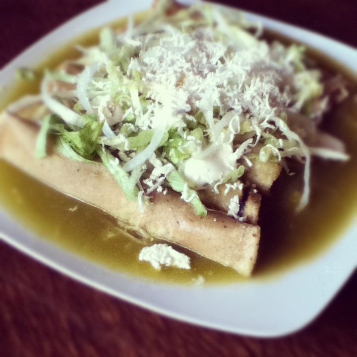
- Green Enchiladas, FerrerRyE, CC BY-SA 3.0
Page built November 4, 2026. Spotted a mistake? Tell us or suggest a place.