


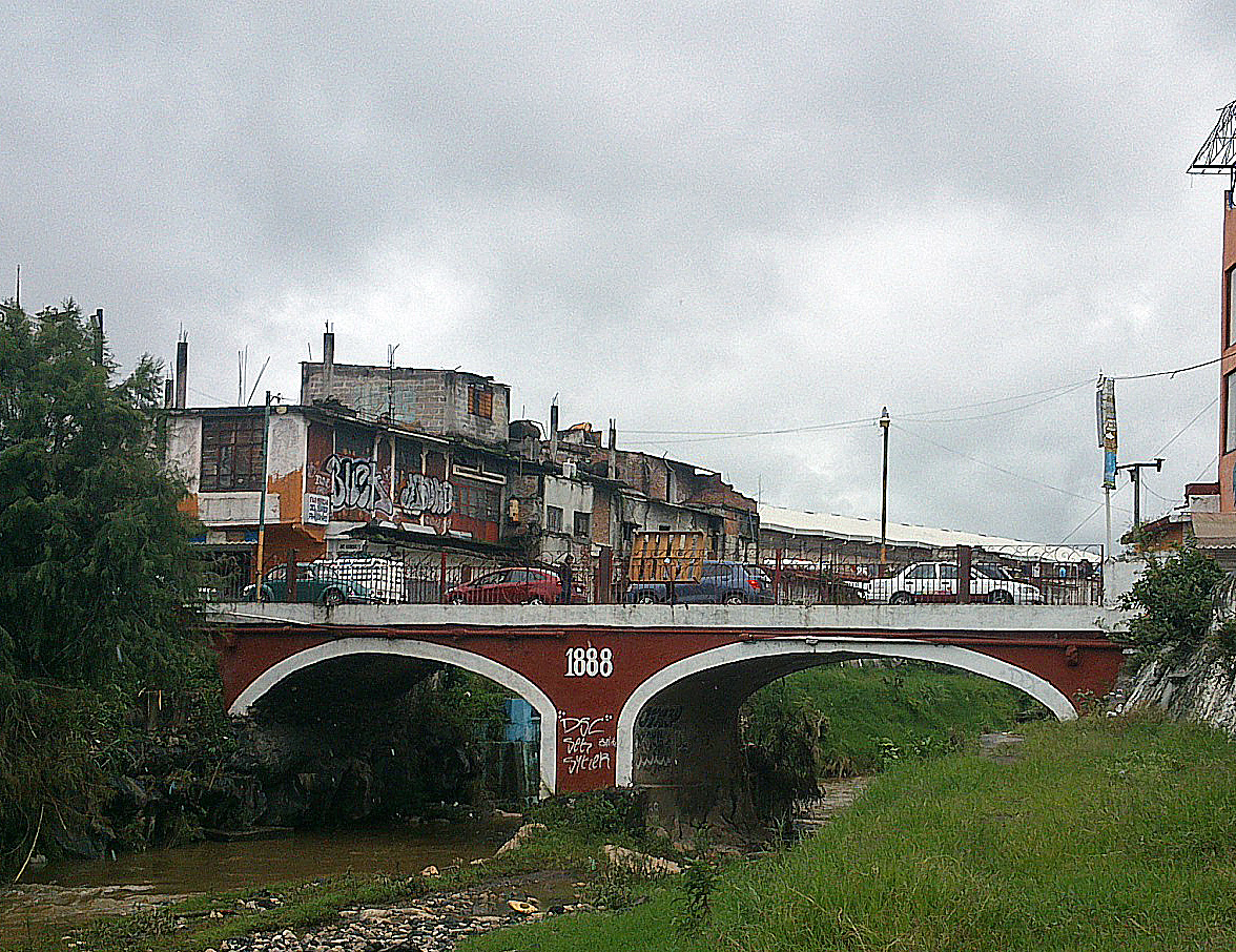


Yautepec, Mexico
Yautepec de Zaragoza
Yautepec is a town of 105,780 people in Morelos, Mexico.
Why visit Yautepec
Townapedia lists 3 museums and landmarks, 7 parks and trails, 9 places to eat and 2 places to stay in and around town.
Weather in Yautepec
Forecast from MET Norway (CC BY 4.0). Full forecast
Museums and landmarks3

Parks, trails and playgrounds7

Parque Infantil Yautepec "Yautepeques"
Park · 1.6 km
65 Calle Ingeniero Felipe Rivera Crespo, Yautepec de Zaragoza
Restaurants and cafes9

Tres
Restaurant · Mexican · 0.8 km
144 Prolongación Emiliano Zapata
Mo-Su 09:00-22:00
El Portal del Maíz
Restaurant · 1.6 km
Carretera Yautepec - Oacalco
Th-Su 09:00-17:00



Where to stay2

Churches and places of worship3
Shopping2
Gas and EV charging1
Schools, colleges and libraries20
Escuela de Estudios Superiores de Yautepec
School · 1.5 km
Calle Ingeniero Felipe Rivera Crespo, Yautepec de Zaragoza
Healthcare4
Map of Yautepec
51 places. The map loads OpenStreetMap tiles when you open it.
Getting there and nearby towns
General Mariano Matamoros International Airport (CVJ) is the nearest airport with scheduled flights listed in OpenStreetMap, 21 km away.
- Xochimilco 42 km north, about 42 min by car
- Chalco de Díaz Covarrubias 46 km northeast, about 46 min by car
- Tlalpan 47 km north, about 47 min by car
- Ixtapaluca 52 km north, about 52 min by car
- Ciudad Nezahualcoyotl 58 km north, about 58 min by car
- Iztacalco 57 km north, about 57 min by car
- Benito Juarez 58 km north, about 58 min by car
- Mexico City 61 km north, about 1 h by car
- Cuauhtémoc 63 km north, about 1 h by car
- Miguel Hidalgo 63 km north, about 1 h by car
Drive times are estimates from straight-line distance, not routes.
Local news
Headlines from INDB.
Reviews, tips and questions
Loading what members have shared...
Sources and licences
- GeoNames (CC BY 4.0): population, coordinates, regions and time zone
- OpenStreetMap contributors (ODbL 1.0): places, airports, map data
- Wikidata (CC0 1.0): elevation, founding date, time zone, website
- Wikimedia Commons (see each image): photos
Photo credits
- Saint James the Apostle Church, Yautepec, Morelos State, Mexico 01, Enrique López-Tamayo Biosca, CC BY 2.0
- Palacio Municipal, Yautepec, Oskarale, CC BY-SA 3.0
- Puente Centro de Yautepec, Oskarale, CC BY-SA 3.0
- Puente sobre rio Yautepec construido en 1880 - panoramio, Wiper México, CC BY-SA 3.0
- Chinelo de Yautepec, Morelos, México, Kelbraer, CC BY-SA 4.0
- Puente Centro Yautepec, Carlos H. Torres ( @evanlitos), CC BY-SA 3.0
- Escuela Primaria "Ignacio Zaragoza", Oskarale, CC BY-SA 3.0
- Club Villautepec - panoramio, Wiper México, CC BY-SA 3.0
- Barranca Juchiquezalco contaminada - panoramio, Wiper México, CC BY-SA 3.0
- Antiguo puente - panoramio, Wiper México, CC BY-SA 3.0
- Casa en medio del bosque - panoramio, Wiper México, CC BY-SA 3.0
- Daalet, Lewisedred, CC BY-SA 4.0
- 1901 Esc. Prim. Urb. Fed. "Ignacio Zaragoza" 1988, Carlos H. Torres ( @evanlitos), CC BY-SA 3.0
- Montañas de Morelos - panoramio, Wiper México, CC BY-SA 3.0
- Caza en construcion - panoramio, [email protected], CC BY 3.0


Page built November 4, 2026. Spotted a mistake? Tell us or suggest a place.