

Alangalang, Philippines
Alangalang is a town of 8,096 people in Eastern Visayas, Philippines.
Why visit Alangalang
Townapedia lists 4 museums and landmarks, 1 park or trail and 10 places to eat in and around town.
Weather in Alangalang
Forecast from MET Norway (CC BY 4.0). Full forecast
About Alangalang
Alangalang (IPA: [ʔɐlɐŋ'ʔalɐŋ]), officially the Municipality of Alangalang (Waray: Bungto han Alangalang; Cebuano: Lungsod sa Alangalang; Tagalog: Bayan ng Alangalang), is a First Income Class municipality in the province of Leyte, Philippines. According to the 2024 census, it has a population of 59,063 people.
From the Wikipedia article Alangalang (this version), under CC BY-SA 4.0.
Museums and landmarks4

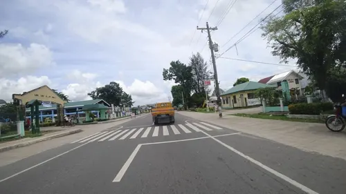

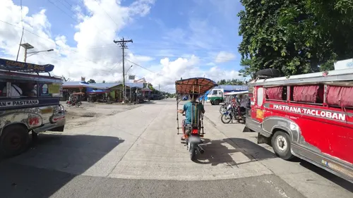
Parks, trails and playgrounds1

Restaurants and cafes10

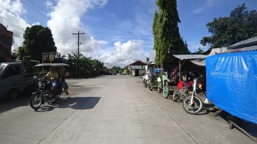
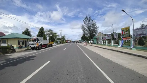

Churches and places of worship5

St. Matthew Parish Church
Church · Roman Catholic · 7.2 km
Monsignor Lino Gonzaga Street

Shopping1
Gas and EV charging3
Schools, colleges and libraries124
Healthcare3
Map of Alangalang
151 places. The map loads OpenStreetMap tiles when you open it.
Getting there and nearby towns
Daniel Z. Romualdez Airport (TAC) is the nearest airport with scheduled flights listed in OpenStreetMap, 20 km away.
- Palo 17 km east, about 17 min by car
- Tacloban 18 km east, about 18 min by car
- Barugo 18 km northwest, about 18 min by car
- Dagami 17 km south, about 17 min by car
- Pawing 17 km east, about 17 min by car
- Carigara 21 km northwest, about 21 min by car
- Tanauan 21 km southeast, about 21 min by car
- Capoocan 24 km northwest, about 24 min by car
- Burauen 26 km south, about 26 min by car
- Basey 26 km east, about 26 min by car
Drive times are estimates from straight-line distance, not routes.
Local news
Headlines from INDB.
Reviews, tips and questions
Loading what members have shared...
Sources and licences
- GeoNames (CC BY 4.0): population, coordinates, regions and time zone
- Mapillary (see each image): photos
- OpenStreetMap contributors (ODbL 1.0): places, airports, map data
- Wikidata (CC0 1.0): elevation, founding date, time zone, website
- Wikimedia Commons (see each image): photos
- Wikipedia (CC BY-SA 4.0): overview and history text
Photo credits
- Church of Alangalang, Leyte, Joelaldor, CC BY-SA 4.0
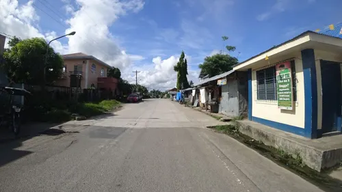
- Street-level photo, danbjoseph, CC BY-SA 4.0
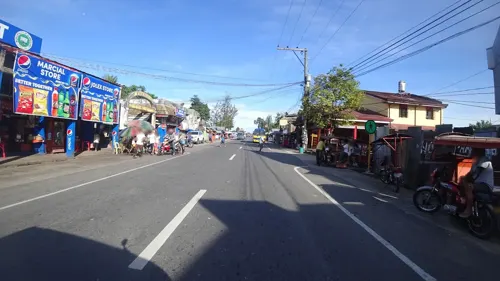
- Street-level photo, danbjoseph, CC BY-SA 4.0
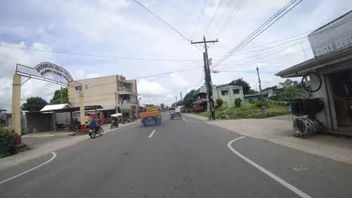
- Street-level photo, danbjoseph, CC BY-SA 4.0
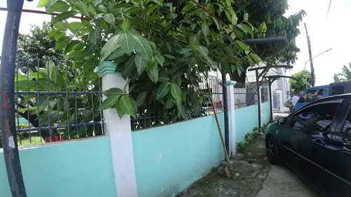
- Street-level photo, danbjoseph, CC BY-SA 4.0
- Street-level photo, danbjoseph, CC BY-SA 4.0
- Street-level photo, danbjoseph, CC BY-SA 4.0
- Street-level photo, danbjoseph, CC BY-SA 4.0
- Street-level photo, danbjoseph, CC BY-SA 4.0
- Street-level photo, danbjoseph, CC BY-SA 4.0
Page built November 7, 2026. Spotted a mistake? Tell us or suggest a place.