
Why visit Jaro
Townapedia lists 3 museums and landmarks, 1 park or trail, 7 places to eat, 1 place to stay and 5 attractions in and around town.
Weather in Jaro
Forecast from MET Norway (CC BY 4.0). Full forecast
About Jaro
Jaro (IPA: ['haɾo]), officially the Municipality of Jaro (Waray: Bungto han Jaro; Tagalog: Bayan ng Jaro), is a First Income Class municipality in the province of Leyte, Philippines. According to the 2024 census, it has a population of 44,643 people.
From the Wikipedia article Jaro, Leyte (this version), under CC BY-SA 4.0.
Things to do5


Museums and landmarks3


Parks, trails and playgrounds1

Restaurants and cafes7

History
In the early time of the Spanish regime, the section where the Jaro is situated today was a lush forest enjoying its primitive freedom undisturbed by human beings.
In those days, struggles between Christianity and Mohammedanism took place. Datu Buisan and Sirungan led one of the Moro expeditions. They came to the Visayas leading a fleet of colorful moro vintas razing Christian towns to the ground, killing the inhabitants and taking some as slaves. Christians had to unite against the invaders and this was how Jaro came into being.
There were two Leyteños known far and wide for their skill with the native arms and bravery in wars. These two men were Bonsilao of Ormoc and Sinirungan of Dagami. These two men were so strong that the people concluded that they possessed supernatural powers. This belief was strengthened by the fact that they managed to drive the Moros away. Later, the two men decided to settle in a centrally located place where they could easily give aid to the beleaguered Christians especially the inhabitants of Balugu, Kalgara and the neighboring towns. An ideal place was finally found. This was atop a hill and this same hill is where the parochial church of Jaro is situated. As time went by, the place was consequently cleared and homes were built. Small crooked paths were widened and thus a town was born.
From the History section of Jaro, Leyte on Wikipedia, under CC BY-SA 4.0.
Where to stay1
Churches and places of worship15
Gas and EV charging3
Schools, colleges and libraries131
Healthcare13
Map of Jaro
179 places. The map loads OpenStreetMap tiles when you open it.
Getting there and nearby towns
Daniel Z. Romualdez Airport (TAC) is the nearest airport with scheduled flights listed in OpenStreetMap, 27 km away.
- Carigara 17 km northwest, about 17 min by car
- Palo 23 km east, about 23 min by car
- Pawing 24 km east, about 24 min by car
- Tacloban 25 km east, about 25 min by car
- Burauen 26 km southeast, about 26 min by car
- Ormoc 27 km southwest, about 27 min by car
- Tanauan 27 km east, about 27 min by car
- Santa Rita 34 km northeast, about 34 min by car
- Dulag 37 km southeast, about 37 min by car
- La Paz 37 km southeast, about 37 min by car
Drive times are estimates from straight-line distance, not routes.
Local news
Headlines from INDB.
Reviews, tips and questions
Loading what members have shared...
Sources and licences
- GeoNames (CC BY 4.0): population, coordinates, regions and time zone
- Mapillary (see each image): photos
- OpenStreetMap contributors (ODbL 1.0): places, airports, map data
- Wikidata (CC0 1.0): elevation, founding date, time zone, website
- Wikipedia (CC BY-SA 4.0): overview and history text
Photo credits
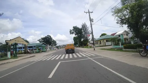
- Street-level photo, danbjoseph, CC BY-SA 4.0
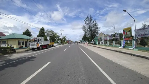
- Street-level photo, danbjoseph, CC BY-SA 4.0
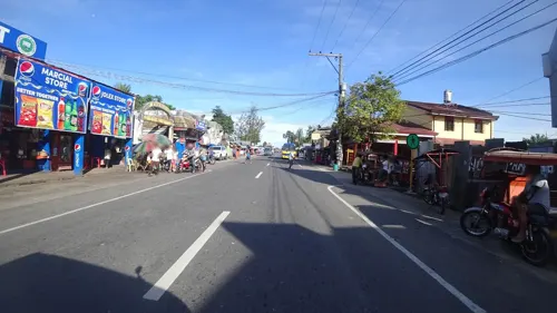
- Street-level photo, danbjoseph, CC BY-SA 4.0
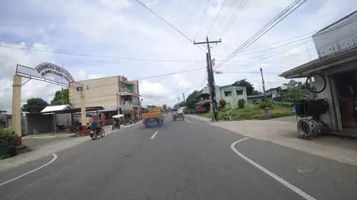
- Street-level photo, danbjoseph, CC BY-SA 4.0
- Street-level photo, danbjoseph, CC BY-SA 4.0
- Street-level photo, danbjoseph, CC BY-SA 4.0
Page built November 7, 2026. Spotted a mistake? Tell us or suggest a place.