


Port Reading, New Jersey
Port Reading is a community of 3,511 people in Middlesex County, New Jersey.
Why visit Port Reading
Townapedia lists 5 museums and landmarks, 14 parks and trails, 9 places to eat, 1 place to stay and 3 attractions in and around town.
Highlights include Union County Performing Arts Center, Outerbridge Crossing, Barron Library and Kreischer House.
July is the warmest month, with average highs of 86°F; January lows average 25°F, and about 26 inches of snow fall in a normal year.
Weather in Port Reading
Forecast from the National Weather Service. Full forecast
About Port Reading
Port Reading is an unincorporated community and census-designated place (CDP) in Woodbridge Township, Middlesex County, New Jersey, United States. As of the 2020 census, the population was 3,921.
From the Wikipedia article Port Reading, New Jersey (this version), under CC BY-SA 4.0.
Things to do3
Union County Performing Arts Center
Cinema and theater · National Register of Historic Places · 3.4 mi
Theater and former movie theater in Rahway, New Jersey, United States

Outerbridge Crossing
Bridge · 2.9 mi
Bridge between New Jersey and New York
Rahway River Bridge
Bridge · 3.2 mi
Bridge in Union County, New Jersey
Museums and landmarks5

Barron Library
Monument and historic site · National Register of Historic Places · 1.6 mi
Historic building in Woodbridge, New Jersey

Kreischer House
Monument and historic site · National Register of Historic Places · 2.4 mi
NY location listed on National Register of Historic Places

Sandy Ground Historical Museum
Museum · 2.4 mi
Museum on Staten Island dedicated to the oldest continuously inhabited free black settlement in the United States
Barron Arts Center
Museum · 1.6 mi
582 Rahway Avenue, Woodbridge
Parks, trails and playgrounds14

Clay Pit Ponds State Park Preserve
Park · 2.5 mi
State park in Staten Island, New York




2 more on the map.
Restaurants and cafes9

Mulberry Street Restaurant
Restaurant · Italian · 1.5 mi
739 Rahway Avenue, Woodbridge
Mo off; Tu-Th 11:30-22:00; Fr 11:30-23:00; Sa 16:00-23:00; Su 15:00-21:00


History
Port Reading was built in the late 19th century by the Reading Railroad of Pennsylvania to serve their shipping needs, especially coal from the Pennsylvania anthracite coal fields. In 1892 Port Reading was connected to the Reading Railroad system via a new branch line from Port Reading Junction near Bound Brook, New Jersey, known as the Port Reading Secondary. The Port Reading Refinery was located in the district.
From the History section of Port Reading, New Jersey on Wikipedia, under CC BY-SA 4.0.
Where to stay1
Churches and places of worship21
Trinity Episcopal Church
Church · National Register of Historic Places · 1.5 mi
650 Rahway Avenue, Woodbridge
First Presbyterian Church
Church · National Register of Historic Places · 1.6 mi
Woodrow Methodist Church
Church · National Register of Historic Places · 2.8 mi
Saint Mary’s Ukrainian Catholic Church
Church · Ukrainian Greek Catholic · 1.6 mi
Saint Anthony of Padua Roman Catholic Church
Church · Catholic · 0.5 mi
436 Port Reading Avenue, Port Reading
People's African Methodist Episcopal Zion Church
Church · African Methodist Episcopal Zion · 1.1 mi
Shopping1
Gas and EV charging2
Schools, colleges and libraries52
Academy For Urban Leadership Charter School
School · 3.6 mi
612 Amboy Ave, Perth Amboy
Frances C. Smith Early Childhood Center No 50
School · 6.0 mi
1000 South Elmora Ave, Elizabeth
Healthcare1
Map of Port Reading
109 places. The map loads OpenStreetMap tiles when you open it.
Climate by month
Monthly table
| Month | High | Low | Rain | Snow |
|---|---|---|---|---|
| Jan | 40°F | 25°F | 3.7 in | 7.0 in |
| Feb | 43°F | 27°F | 3.3 in | 8.2 in |
| Mar | 51°F | 33°F | 4.4 in | 5.0 in |
| Apr | 62°F | 43°F | 4.0 in | 0.3 in |
| May | 72°F | 52°F | 4.2 in | 0.0 in |
| Jun | 81°F | 62°F | 4.5 in | 0.0 in |
| Jul | 86°F | 68°F | 5.3 in | 0.0 in |
| Aug | 84°F | 66°F | 4.1 in | 0.0 in |
| Sep | 77°F | 59°F | 4.2 in | 0.0 in |
| Oct | 66°F | 47°F | 4.4 in | 0.0 in |
| Nov | 55°F | 38°F | 3.6 in | 0.1 in |
| Dec | 45°F | 30°F | 4.5 in | 5.7 in |
U.S. Climate Normals 1991-2020 for Cranford (8 mi away), NOAA NCEI.
People and cost of living
American Community Survey 5-year estimates, 2020-2024, U.S. Census Bureau. Estimates have margins of error, larger for small towns.
Disaster history
Middlesex County has had 17 federal disaster declarations since 2000, most often for hurricanes.
- 2021-09-05: Remnants Of Hurricane Ida (Hurricane)
- 2021-09-02: Remnants Of Hurricane Ida (Hurricane)
- 2020-03-25: Covid-19 Pandemic (Biological)
- 2020-03-13: Covid-19 (Biological)
- 2016-03-14: Severe Winter Storm And Snowstorm (Severe Storm)
- 2012-10-30: Hurricane Sandy (Hurricane)
OpenFEMA disaster declarations summaries.
Getting there and nearby towns
Linden Airport (LDJ) is the nearest airport with scheduled flights listed in OpenStreetMap, 3 miles away.
- Carteret 1 mi northeast, about 2 min by car
- Avenel 2 mi northwest, about 3 min by car
- Woodbridge 2 mi southwest, about 4 min by car
- Rahway 3 mi northwest, about 5 min by car
- Perth Amboy 4 mi southwest, about 6 min by car
- Iselin 4 mi west, about 6 min by car
- Colonia 4 mi northwest, about 6 min by car
- Linden 4 mi north, about 7 min by car
- Hopelawn 4 mi southwest, about 6 min by car
- Fords 4 mi southwest, about 7 min by car
Drive times are estimates from straight-line distance, not routes.
Local news
Headlines from INDB, the NEMICO news database.
Reviews, tips and questions
Loading what members have shared...
Sources and licences
- NCES EDGE (Public domain): public schools
- NOAA NCEI U.S. Climate Normals 1991-2020 (Public domain): climate by month
- OpenFEMA (Public domain): disaster declarations
- OpenStreetMap contributors (ODbL 1.0): places, airports, map data
- U.S. Census Bureau (Public domain): population, income, housing, education, commute
- Wikidata (CC0 1.0): elevation, founding date, time zone, website, landmarks and historic places
- Wikimedia Commons (see each image): photos
- Wikipedia (CC BY-SA 4.0): overview and history text
Photo credits
- Port Reading, NJ post office, Dec. 2024, Mr. Matté (if there is an issue with this image, contact me using this image's Commons talk page , my Commons user talk page , or my English Wikipedia user talk page ; I'll know about it a lot faster), CC BY-SA 4.0
- Middlesex CR 611 nb in Port Reading, NJ, Dec. 2024, Mr. Matté (if there is an issue with this image, contact me using this image's Commons talk page , my Commons user talk page , or my English Wikipedia user talk page ; I'll know about it a lot faster), CC BY-SA 4.0
- 2021-05-25 18 18 34 View south along Interstate 95 (New Jersey Turnpike) from the overpass for Middlesex County Route 604 (Port Reading Avenue) in Woodbridge Township, Middlesex County, New Jersey, Famartin, CC BY-SA 4.0
- 2021-05-25 18 20 03 View north along Interstate 95 (New Jersey Turnpike) from the overpass for Middlesex County Route 604 (Port Reading Avenue) in Woodbridge Township, Middlesex County, New Jersey, Famartin, CC BY-SA 4.0
- Rahway theatre, PeterMac13, CC BY-SA 3.0
- Woodrow U Meth Ch Huguenot jeh, Jim.henderson, Public domain
- Kreischer House uncut jeh, Jim.henderson, CC0
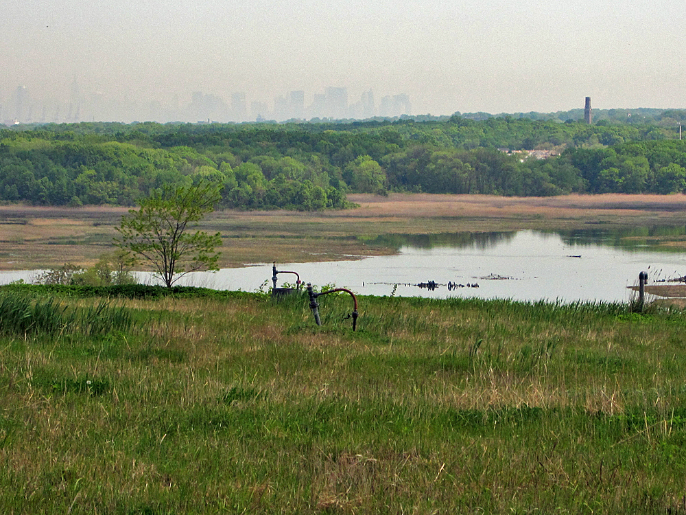
- Downtown Manhattan view over Freshkills Park, H.L.I.T., CC BY 2.0
- Claypitponds (14946436009), Jessica Mees, CC BY-SA 2.0
- 2025-09-15 16 14 35 Aerial view of northeastern Woodbridge Township, Middlesex County, New Jersey, with Interstate 95 (New Jersey Turnpike) visible near the bottom, seen from an aircraft heading for..., Famartin, CC BY-SA 4.0
- Entering Carteret, NJ on Middlesex CR 604 eb, Dec. 2024, Mr. Matté (if there is an issue with this image, contact me using this image's Commons talk page , my Commons user talk page , or my English Wikipedia user talk page ; I'll know about it a lot faster), CC BY-SA 4.0
- Former Ferry in the Arthur Kill, joiseyshowaa, CC BY-SA 2.0
- 2020-07-12 08 47 38 View south along Interstate 95 (New Jersey Turnpike) at the Thomas Edison Service Area in Woodbridge Township, Middlesex County, New Jersey, Famartin, CC BY-SA 4.0
- Middlesex CR 604 eb approaching Pershing Avenue, Carteret, NJ, Dec. 2024, Mr. Matté (if there is an issue with this image, contact me using this image's Commons talk page , my Commons user talk page , or my English Wikipedia user talk page ; I'll know about it a lot faster), CC BY-SA 4.0
- Iva frutescens 59064109, Daniel Atha, CC0
- Grover Cleveland Service Area, NJTP, Woodbridge Township, NJ, Zeete, CC BY-SA 4.0
- Louis Street wb, Carteret, NJ, Dec. 2024, Mr. Matté (if there is an issue with this image, contact me using this image's Commons talk page , my Commons user talk page , or my English Wikipedia user talk page ; I'll know about it a lot faster), CC BY-SA 4.0
- Middlesex CR 611 nb in Sewaren, NJ, Dec. 2024, Mr. Matté (if there is an issue with this image, contact me using this image's Commons talk page , my Commons user talk page , or my English Wikipedia user talk page ; I'll know about it a lot faster), CC BY-SA 4.0
- Carteret High School, NJ, Dec. 2024, Mr. Matté (if there is an issue with this image, contact me using this image's Commons talk page , my Commons user talk page , or my English Wikipedia user talk page ; I'll know about it a lot faster), CC BY-SA 4.0
- Middlesex CR 604 eb approaching Washington Avenue, Carteret, NJ, Dec. 2024, Mr. Matté (if there is an issue with this image, contact me using this image's Commons talk page , my Commons user talk page , or my English Wikipedia user talk page ; I'll know about it a lot faster), CC BY-SA 4.0
- CR 514 eb at Middlesex CR 650, Avenel, NJ, Nov. 2025, Mr. Matté (if there is an issue with this image, contact me using this image's Commons talk page , my Commons user talk page , or my English Wikipedia user talk page ; I'll know about it a lot faster), CC BY-SA 4.0
- Trinity Episcopal Church, Woodbridge, NJ - St. Martha's House, Zeete, CC BY-SA 4.0
- Phyllotopsis nidulans 109341389, Mirko Schoenitz, CC0
- Carteret, NJ post office, Dec. 2024, Mr. Matté (if there is an issue with this image, contact me using this image's Commons talk page , my Commons user talk page , or my English Wikipedia user talk page ; I'll know about it a lot faster), CC BY-SA 4.0
- Trinity Episcopal Church, Woodbridge, NJ - Rectory, west view, Zeete, CC BY-SA 4.0
- Trinity Episcopal Church, Woodbridge, NJ - Churchyard, Zeete, CC BY-SA 4.0
- Trinity Episcopal Church, Woodbridge, NJ - Tombstone, Sarah Jacques, Zeete, CC BY-SA 4.0
- Trinity Episcopal Church, Woodbridge, NJ - west view, Zeete, CC BY-SA 4.0
- Trinity Episcopal Church, Woodbridge, NJ - south west view, Zeete, CC BY-SA 4.0
- 2020-07-07 16 26 19 View north along Interstate 95 (New Jersey Turnpike) at the Grover Cleveland Service Area in Woodbridge Township, Middlesex County, New Jersey, Famartin, CC BY-SA 4.0
- Carteret, NJ RWJ Wellness Center, Dec. 2024, Mr. Matté (if there is an issue with this image, contact me using this image's Commons talk page , my Commons user talk page , or my English Wikipedia user talk page ; I'll know about it a lot faster), CC BY-SA 4.0
- Carteret, NJ municipal building side view, Dec. 2024, Mr. Matté (if there is an issue with this image, contact me using this image's Commons talk page , my Commons user talk page , or my English Wikipedia user talk page ; I'll know about it a lot faster), CC BY-SA 4.0
- First Presbyterian Church, Woodbridge, NJ - Revolutionary War marker, Zeete, CC BY-SA 4.0
- Middlesex CR 604 eb past Tennyson Street, Carteret, NJ, Dec. 2024, Mr. Matté (if there is an issue with this image, contact me using this image's Commons talk page , my Commons user talk page , or my English Wikipedia user talk page ; I'll know about it a lot faster), CC BY-SA 4.0
- First Presbyterian Church of Woodbridge, Perrycart, CC BY-SA 3.0
- 2018-05-21 09 00 44 View north along Interstate 95 (New Jersey Turnpike) just south of Exit 12 (Carteret, Rahway) in Carteret, Middlesex County, New Jersey, Famartin, CC BY-SA 4.0
- Carteret, NJ municipal building front and public library, Jan. 2025, Mr. Matté (if there is an issue with this image, contact me using this image's Commons talk page , my Commons user talk page , or my English Wikipedia user talk page ; I'll know about it a lot faster), CC BY-SA 4.0
- 2021-05-25 18 05 19 View north along Interstate 95 (New Jersey Turnpike) from the overpass for Middlesex County Route 652 (Woodbridge Avenue) in Woodbridge Township, Middlesex County, New Jersey, Famartin, CC BY-SA 4.0
- 2021-05-25 18 03 41 View south along Interstate 95 (New Jersey Turnpike) from the overpass for Middlesex County Route 652 (Woodbridge Avenue) in Woodbridge Township, Middlesex County, New Jersey, Famartin, CC BY-SA 4.0
- Rusted Tug at the Ship Graveyard (39159504552), joiseyshowaa from Freehold, NJ, USA, CC BY-SA 2.0


Page built October 30, 2026. Spotted a mistake? Tell us or suggest a place.