


Why visit Ban Na
Townapedia lists 35 museums and landmarks, 20 places to eat and 24 places to stay in and around town.
Highlights include Wat Chang Lom and Wat Mum Langka.
Weather in Ban Na
Forecast from MET Norway (CC BY 4.0). Full forecast
Photos of Ban Na


Museums and landmarks35


23 more on the map.
Restaurants and cafes20
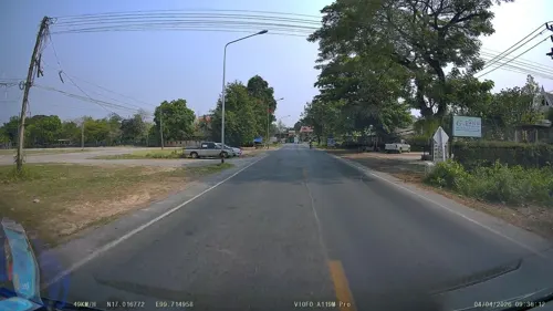
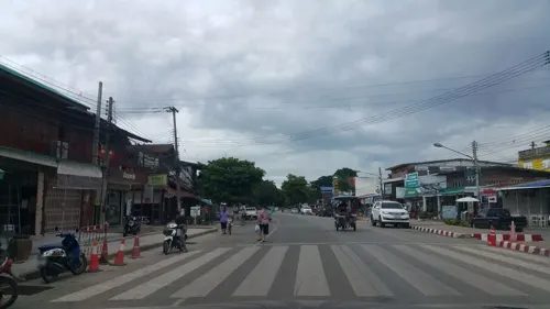
Sureerat restaurant
Restaurant · Thai · 2.3 km
300 ต.เมืองเก่า, Sukhothai
Mo-Su 08:00-21:00
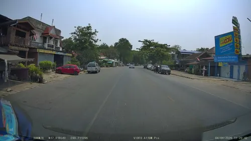
The History Cafe' & Guesthouse
Cafe · Italian, Diner, Cake, Coffee Shop, Thai · 2.3 km
Mo-Su 10:00-20:00
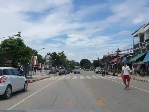
Na Khothai
Restaurant · Tea, Coffee Shop, Local, Steak House, Pasta, Diner, Italian Pizza, Thai · 1.9 km


8 more on the map.
Where to stay24

Resting Place Hostel
Motel and hotel · 2.4 km
Modern Hostel with 4 bed rooms (A/C) and fast WiFi
140/3 หมู่3
Mo-Su 06:00-21:00
Pottery Street House
Motel and hotel · 2.5 km
Small guesthouse with modern rooms, bathroom and furniture.
357/1 Moo 3, Muang, Sukhothai, Mueang Kao, 64210, Thailand
Smilingface Guesthouse
Motel and hotel · 2.3 km
735 Jarodviteethong Road, Mueang Kao,Muang,, Sukhothai
12 more on the map.
Churches and places of worship4

Shopping1
Gas and EV charging1
Schools, colleges and libraries2
Healthcare2
Map of Ban Na
89 places. The map loads OpenStreetMap tiles when you open it.
Getting there and nearby towns
Sukhothai Airport (THS) is the nearest airport with scheduled flights listed in OpenStreetMap, 26 km away.
- Sukhothai 10 km east, about 10 min by car
- Ban Dan Lan Hoi 17 km west, about 17 min by car
- Khiri Mat 22 km south, about 22 min by car
- Sawankhalok 35 km north, about 35 min by car
- Lan Krabue 48 km south, about 48 min by car
- Bang Rakam 50 km southeast, about 50 min by car
- Si Satchanalai 56 km north, about 56 min by car
- Phitsanulok 60 km east, about 1 h by car
- Kamphaeng Phet 63 km south, about 1 h by car
- Tak 66 km west, about 1 h by car
Drive times are estimates from straight-line distance, not routes.
Towns near Ban Na


Keep exploring
Local news
Headlines from INDB.
Reviews, tips and questions
Loading what members have shared...
Sources and licences
- GeoNames (CC BY 4.0): population, coordinates, regions and time zone
- Mapillary (see each image): photos
- OpenStreetMap contributors (ODbL 1.0): places, airports, map data
- Wikidata (CC0 1.0): elevation, founding date, time zone, website
- Wikimedia Commons (see each image): photos
Photo credits
- Wat Chang Lom (Sukhothai) 20231225 (II), This Photo was taken by Supanut Arunoprayote . Feel free to use any of my images, but please mention me as the author and may send me a message. (สามารถใช้ภาพได้อิสระ..., CC BY 4.0
- 13th Century Thai City of Sukhothai- Wat Chedi Sung 1, Gary Todd, Public domain
- 13th Century Thai City of Sukhothai- Wat Chedi Sung 2, Gary Todd, Public domain
- 13th Century Thai City of Sukhothai- Wat Chedi Sung, Gary Todd, Public domain
- Sukhothai noodle ก๋วยเตี๋ยวสุโขทัย (2026) - img 01, Chainwit., CC BY 4.0
- Sukhothai noodle ก๋วยเตี๋ยวสุโขทัย (2026) - img 03, Chainwit., CC BY 4.0
- Sukhothai noodle ก๋วยเตี๋ยวสุโขทัย (2026) - img 02, Chainwit., CC BY 4.0
- 13th Century Thai City of Sukhothai- Wat Chedi Yod Hak 1, Gary Todd, Public domain
- 13th Century Thai City of Sukhothai- Wat Chedi Yod Hak 2, Gary Todd, Public domain
- Wat Pa Rerai, Sukhothai (46720467495), Gary Todd from Xinzheng, China, Public domain
- Wat Pa Rerai, Sukhothai (47636092351), Gary Todd from Xinzheng, China, Public domain
- Mae Lampan canal แม่ลำพัน สุโขทัย (2025) - img 04, Chainwit., CC BY 4.0
- Mae Lampan canal แม่ลำพัน สุโขทัย (2025) - img 05, Chainwit., CC BY 4.0
- Mae Lampan canal แม่ลำพัน สุโขทัย (2025) - img 02, Chainwit., CC BY 4.0
- Mae Lampan canal แม่ลำพัน สุโขทัย (2025) - img 03, Chainwit., CC BY 4.0
- Mae Lampan canal แม่ลำพัน สุโขทัย (2025) - img 01, Chainwit., CC BY 4.0
- วัดช้างล้อม9 - panoramio, ::::=UT=::::, CC BY-SA 3.0
- วัดช้างล้อม 001, Chaiyathat, CC BY-SA 4.0
- วัดช้างล้อม8 - panoramio, ::::=UT=::::, CC BY-SA 3.0
- Sukhothai - Wat Chang Lom วัดช้างล้อม (2025) - img 03, Chainwit., CC BY 4.0
- Sukhothai - Wat Chang Lom วัดช้างล้อม (2025) - img 04, Chainwit., CC BY 4.0
- Sukhothai - Wat Chang Lom วัดช้างล้อม (2025) - img 05, Chainwit., CC BY 4.0
- Wat Chang Lom 4, Ahoerstemeier, CC BY-SA 4.0
- Chedi in water at Wat Chang Lom, Ahoerstemeier, CC BY-SA 4.0
- วัดช้างล้อม7 - panoramio, ::::=UT=::::, CC BY-SA 3.0
- Sukhothai - Wat Chang Lom วัดช้างล้อม (2025) - img 15, Chainwit., CC BY 4.0
- Wat Chang Lom 5, Ahoerstemeier, CC BY-SA 4.0
- Wat Chang Lom 9, Ahoerstemeier, CC BY-SA 4.0
- วัดช้างล้อม10 - panoramio, ::::=UT=::::, CC BY-SA 3.0
- วัดช้างล้อม - panoramio, ::::=UT=::::, CC BY-SA 3.0
- Wat Chang Lom 6, Ahoerstemeier, CC BY-SA 4.0
- Wat Chang Lom 7, Ahoerstemeier, CC BY-SA 4.0
- Sukhothai - Wat Chang Lom วัดช้างล้อม (2025) - img 07, Chainwit., CC BY 4.0
- วัดช้างล้อม13 - panoramio, ::::=UT=::::, CC BY-SA 3.0
- Sukhothai - Wat Chang Lom วัดช้างล้อม (2025) - img 06, Chainwit., CC BY 4.0
- วัดช้างล้อม2 - panoramio, ::::=UT=::::, CC BY-SA 3.0
- Wat Chang Lom 1, Ahoerstemeier, CC BY-SA 4.0
- Sukhothai - Wat Chang Lom วัดช้างล้อม (2025) - img 02, Chainwit., CC BY 4.0
- Sukhothai - Wat Chang Lom วัดช้างล้อม (2025) - img 08, Chainwit., CC BY 4.0
- Sukhothai - Wat Chang Lom วัดช้างล้อม (2025) - img 09, Chainwit., CC BY 4.0
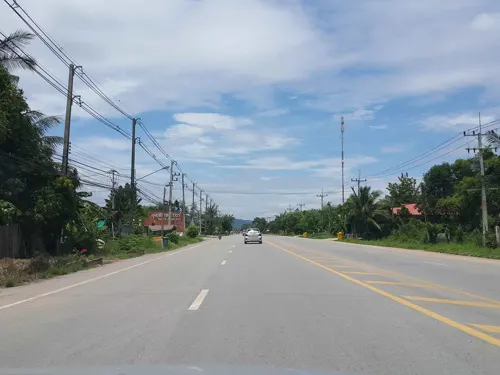
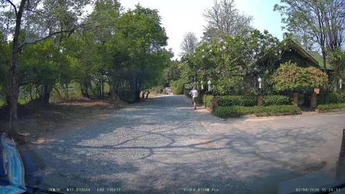
- Street-level photo, ThailandCambodia, CC BY-SA 4.0
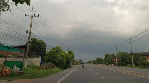
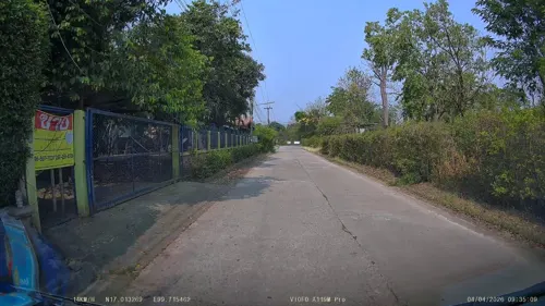
- Street-level photo, jrcarlsen, CC BY-SA 4.0
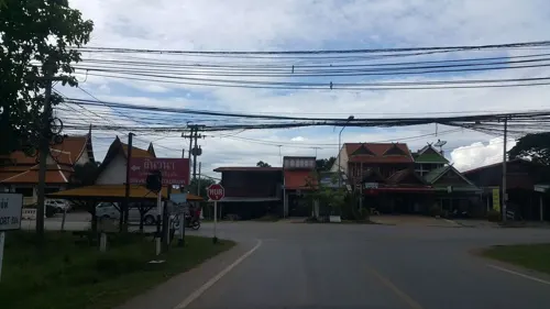
- Street-level photo, ThailandCambodia, CC BY-SA 4.0
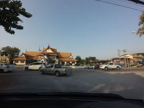
- Street-level photo, jrcarlsen, CC BY-SA 4.0
- Street-level photo, jrcarlsen, CC BY-SA 4.0
- Street-level photo, jrcarlsen, CC BY-SA 4.0
- Street-level photo, ThailandCambodia, CC BY-SA 4.0
- Street-level photo, mishari, CC BY-SA 4.0
- Street-level photo, ThailandCambodia, CC BY-SA 4.0
- Street-level photo, jrcarlsen, CC BY-SA 4.0
- Street-level photo, jrcarlsen, CC BY-SA 4.0
- Street-level photo, jrcarlsen, CC BY-SA 4.0
- Street-level photo, ThailandCambodia, CC BY-SA 4.0
- Street-level photo, mishari, CC BY-SA 4.0
- Street-level photo, mishari, CC BY-SA 4.0
- Street-level photo, jrcarlsen, CC BY-SA 4.0
- Street-level photo, mishari, CC BY-SA 4.0
- Street-level photo, ThailandCambodia, CC BY-SA 4.0
- Street-level photo, ThailandCambodia, CC BY-SA 4.0


Page built November 10, 2026. Spotted a mistake? Tell us or suggest a place.