


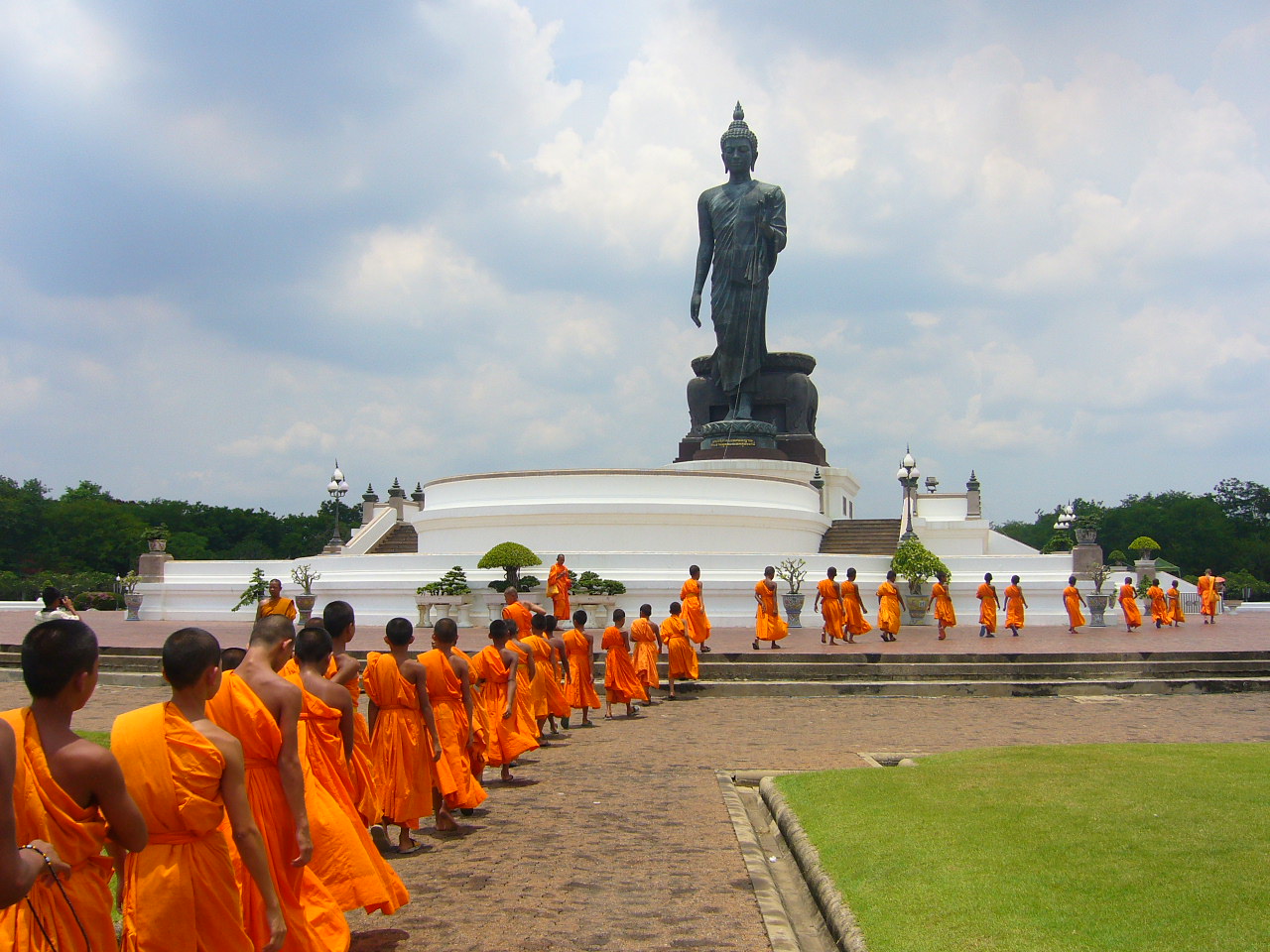


Nong Khaem, Thailand
เขตหนองแขม
Nong Khaem is a city of 150,218 people in Bangkok, Thailand.
Why visit Nong Khaem
Townapedia lists 1 museum or landmark, 10 parks and trails, 46 places to eat, 3 places to stay and 1 attraction in and around town.
Highlights include เมเจอร์ซีนีเพล็กซ์ สาขาเพชรเกษม, Thawiwanarom Park and Phet Kanchanarom Park.
Weather in Nong Khaem
Forecast from MET Norway (CC BY 4.0). Full forecast
About Nong Khaem
Nong Khaem (Thai: หนองแขม, pronounced [nɔ̌ːŋ kʰɛ̌ːm]) is one of the 50 districts (khet) of Bangkok, Thailand. The district is bounded by other Bangkok districts (from north clockwise): Thawi Watthana, Bang Khae, Bang Bon of Bangkok, Krathum Baen of Samut Sakhon province, Sam Phran and Phutthamonthon of Nakhon Pathom province. Nong Khaem is Bangkok's westernmost district.
From the Wikipedia article Nong Khaem district (this version), under CC BY-SA 4.0.
Photos of Nong Khaem


Things to do1

เมเจอร์ซีนีเพล็กซ์ สาขาเพชรเกษม
Cinema and theater · 3.4 km
611/2 ถนนเพชรเกษม, บางแค
จันทร์-ศุกร์ 11.00 - 23.00, เสาร์-อาทิตย์ 10.30 - 24.00
Museums and landmarks1

Parks, trails and playgrounds10


Phutthamonthon
Park · 8.4 km
Buddhist park in Nakhon Pathom province, Thailand



Restaurants and cafes46
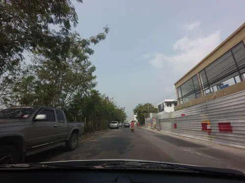
Phak Khiao Vietnamese
Restaurant · Vietnamese · 4.0 km
ถนนพุทธมณฑล สาย 4
Tu-Su 10:30-17:30
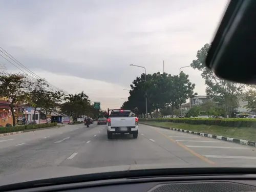
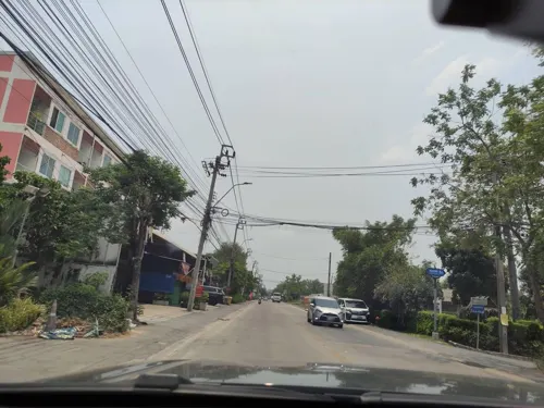

Bar Craft O'Clock
Bar and pub · 2.8 km
Craft and imported beer, Thai and Western dishes, Savory bakeries
ถนนเพชรเกษม 69
Mo-Su 16:00-01:00

DESSERTBYRIEN
Restaurant · Thai, Sweet, Dessert · 2.3 km
12/87 moo11 พุทธสาคร 3, อ้อมน้อย, กระทุ่มแบน สมุทรสาคร
06:00-19:00
Lhao Heng
Restaurant · Asian · 5.1 km
203/4 ถนนพุทธมณฑลสาย 3
Mo-Su 10:00-22:00

K Lucky Coffee
Cafe · Thai · 2.5 km
219/267 PC12 พงษ์ศิริชัย1 อ้อมน้อย, Krathum Baen
08:00-17:00

34 more on the map.
History
Since the past, Khlong Phasi Charoen has served as an important waterway for the Nong Khaem area. The canal was constructed in 1871 during the reign of King Rama IV. As a result, many key local landmarks such as temples, communities, markets, and the police station were established along its banks.
On July 15, 1904, the royal barge passed through Nong Khaem via Khlong Phasi Charoen during low tide. While the forward escort boat carrying King Rama V's retinue reached Krathum Baen, the King's own barge was unable to proceed. His Majesty stayed near Wat Nong Khaem, which has long been a spiritual anchor for the community.
In the past, the area around Nong Khaem and its surroundings consisted mainly of rice fields and plantations. During the flood season, locals used rowing boats to reach the waterfront market at Wat Nong Khaem. As early as 4:00 a.m., boats filled the canal, selling various goods along Khlong Phasi Charoen.
Read more of the history
The name of the district comes from nong which means 'wetland' and khaem which means 'reed' (Saccharum arundinaceum), a reedy plant, reflecting its environment in the past. It was set up as Amphoe Nong Khaem in 1902. In 1938 it became a king amphoe of Phasi Charoen for about 20 years before it was elevated to district status again. It became a khet in 1972 after Bangkok administrative reform. In 1998, the eastern part of Nong Khaem (Lak Song Sub-district) was made part of the newly established district of Khet Bang Khae.
Nong Khaem is known for its abundant plantings of canna in the centre median strip of Phet Kasem Road. The flowers stretch along nearly five kilometres of roadway. They were planted in 1977 and have since become a district landmark.
The old building of Nong Khaem Police Station more than 100 years old, located on the Khlong Phasi Charoen. Now it has been renovated into a museum and a learning centre for local culture.
From the History section of Nong Khaem district on Wikipedia, under CC BY-SA 4.0.
More about Nong Khaem
Economy
Today, even though many industries and signs of prosperity have expanded into the area, Nong Khaem remains one of Bangkok's 50 districts that still has a significant amount of green space. In some parts, there are still only a few major landowners. Some of them hold as much as 180 rais (71 acres). Small-scale farmers typically rent between 10 and 20 rais (3 and 6 acres) for cultivation. Nong Khaem was once known for its extensive white champaca plantations, covering up to 1,000 rais (395 acres).
In 1973, Thai President Foods began producing MAMA brand instant noodles at a factory in Nong Khang Phlu. In 1986, the factory was relocated to a larger site in Si Racha.
Nong Khaem was also the original location of Channel 3 before the station moved to its current location in Khlong Toei in 1999.
The district is one of Bangko's three main solid waste disposal centres. It processes around 3,500 tonnes of waste daily from all 16 districts on the Thonburi side of the Chao Phraya River. The other two Bangkok Metropolitan Administration (BMA) disposal centres are located on the eastern side, in the Prawet and Sai Mai districts. The Nong Khaem facility operates with an annual budget of two billion baht.
Nong Khaem has also long been home to the only spotted deer farm in Bangkok.
From the Wikipedia article Nong Khaem district, under CC BY-SA 4.0.
Notable people from Nong Khaem
 Man PhatnothaiThai politicianPhoto: Government of Thailand, CC BY 2.0
Born in Nong Khaem, according to Wikidata (CC0). Each name links to its Wikipedia article.
Where to stay3
Churches and places of worship20
Wat Phrom Suwan Samakkhi
Place of worship · Thai Mahanikaya · 3.4 km
ซอยอัสสัมชัญ 23
Shopping33
Gas and EV charging10
Schools, colleges and libraries37
วิทยาลัยอาชีวศึกษาเทคโนโลยีเอเชีย
School · 3.0 km
575 ถนนเลียบคลองภาษีเจริญฝั่งเหนือ, หนองแขม
Healthcare41
Map of Nong Khaem
202 places. The map loads OpenStreetMap tiles when you open it.
Getting there and nearby towns
Don Mueang International Airport (DMK) is the nearest airport with scheduled flights listed in OpenStreetMap, 36 km away.
- Ban Lak Song 6 km east, about 6 min by car
- Bang Khae 6 km east, about 6 min by car
- Khwaeng Bang Khae 6 km east, about 6 min by car
- Phasi Charoen 10 km east, about 10 min by car
- Taling Chan 14 km northeast, about 14 min by car
- Thon Buri 15 km east, about 15 min by car
- Bangkok 17 km east, about 17 min by car
- Mueang Nonthaburi 25 km northeast, about 25 min by car
- Samut Prakan 29 km southeast, about 29 min by car
- Si Racha 86 km southeast, about 1 h 30 min by car
Drive times are estimates from straight-line distance, not routes.
Towns near Nong Khaem


Keep exploring
Local news
Headlines from INDB.
Reviews, tips and questions
Loading what members have shared...
Sources and licences
- GeoNames (CC BY 4.0): population, coordinates, regions and time zone
- Mapillary (see each image): photos
- OpenStreetMap contributors (ODbL 1.0): places, airports, map data
- Wikidata (CC0 1.0): elevation, founding date, time zone, website, landmarks and historic places
- Wikimedia Commons (see each image): photos
- Wikipedia (CC BY-SA 4.0): overview and history text
Photo credits
- Nong Kham City Gate, Phoebus 28, CC BY-SA 4.0
- ม้านั่งในสวน, Phoebus 28, CC BY-SA 4.0
- Phutthamonthon Buddha, Tevaprapas ผู้สร้างสรรค์ผลงาน/ส่งข้อมูลเก็บในคลังข้อมูลเสรีวิกิมีเดียคอมมอนส์ - เทวประภาส มากคล้าย, CC BY-SA 2.5
- S 2908236, Injurio, CC BY-SA 4.0
- วัดราษฎร์บำรุง เขตบางแค กรุงเทพมหานคร (2), กสิณธร ราชโอรส, CC BY-SA 4.0
- วัดอุดมรังสี (1), Dharmadana, CC BY-SA 4.0
- สวนเพชร1, Phoebus 28, CC BY-SA 4.0
- Assumption College Thonburi 2025, Assumption College Thonburi, Public domain
- วัดม่วง - panoramio, easy4444, CC BY 3.0
- ฟ้าประทานพร, เจษฎา33304, CC BY-SA 3.0
- ต้นงวงช้าง, เจษฎา33304, CC BY-SA 3.0
- ต้นลิ้นมังกร, เจษฎา33304, CC BY-SA 3.0
- โชคเก้าชั้น, เจษฎา33304, CC BY-SA 3.0
- ทองอุไร, เจษฎา33304, CC BY-SA 3.0
- เหรียญสะสม, เจษฎา33304, CC BY-SA 3.0
- อินทนิลน้ำ, เจษฎา33304, CC BY-SA 3.0
- ดอกชวนชม, เจษฎา33304, CC BY-SA 3.0
- ดอกหงอนไก่ไทย, เจษฎา33304, CC BY-SA 3.0
- เฟิร์นสไบนาง, เจษฎา33304, CC BY-SA 3.0
- มะละกอ, เจษฎา33304, CC BY-SA 3.0
- เสน่ห์จันทร์แดง, เจษฎา33304, CC BY-SA 3.0
- ยันต์นำโชค, เจษฎา33304, CC BY-SA 3.0
- ต้นว่านหางจรเข้, เจษฎา33304, CC BY-SA 3.0
- หอยทากแอฟริกา, เจษฎา33304, CC BY-SA 3.0
- ต้นลาน (16029), เจษฎา33304, CC BY-SA 3.0
- ดอกเข็มแดง, เจษฎา33304, CC BY-SA 3.0
- ต้นจั๋ง (lady palm), เจษฎา33304, CC BY-SA 3.0
- ใบย่านาง, เจษฎา33304, CC BY-SA 3.0
- ว่านมหาลาภ, เจษฎา33304, CC BY-SA 3.0
- รังนกในใบลาน, เจษฎา33304, CC BY-SA 3.0
- ป่านศรนารายณ์, เจษฎา33304, CC BY-SA 3.0
- ขวดเปล่าสำหรับเพาะพันธุ์ไม้, เจษฎา33304, CC BY-SA 3.0
- ดอกเพกา, เจษฎา33304, CC BY-SA 3.0
- บอนสีนกกระทา, เจษฎา33304, CC BY-SA 3.0
- เอื้องหมายนาดอกแดง, เจษฎา33304, CC BY-SA 3.0
- ดอกนีออน, เจษฎา33304, CC BY-SA 3.0
- Plakung, PiggyPlane99, CC BY-SA 4.0
- TINT Radioactive wastes' barrel, ShinRyu Forgers, CC BY-SA 4.0
- TINT research reactor, ShinRyu Forgers, CC BY-SA 4.0
- ระวังเต่า - panoramio, natee18000G, CC BY 3.0
- Street-level photo, mishari, CC BY-SA 4.0
- Street-level photo, kasetitkml_pipitchai, CC BY-SA 4.0
- Street-level photo, lin_wang, CC BY-SA 4.0
- Street-level photo, kasetitkml_pipitchai, CC BY-SA 4.0
- Street-level photo, lin_wang, CC BY-SA 4.0
- Street-level photo, lin_wang, CC BY-SA 4.0
- Street-level photo, mishari, CC BY-SA 4.0


Page built November 10, 2026. Spotted a mistake? Tell us or suggest a place.