


Pathum Thani, Thailand
เทศบาลเมืองปทุมธานี
Pathum Thani is a regional capital of 24,547 people in Pathum Thani, Thailand.
Why visit Pathum Thani
Townapedia lists 2 museums and landmarks, 4 parks and trails and 5 places to eat in and around town.
Highlights include Rare Stone Museum.
Weather in Pathum Thani
Forecast from MET Norway (CC BY 4.0). Full forecast
About Pathum Thani
Pathum Thani (Thai: ปทุมธานี, pronounced [pā.tʰūm tʰāːnīː]) is a town (thesaban mueang) in central Thailand, directly north of Bangkok. It is the capital of the Pathum Thani province, Thailand as well as the Mueang Pathum Thani district. As of 2005, it has a population of 18,320, covering the complete sub-district (tambon) Bang Parok.
From the Wikipedia article Pathum Thani (this version), under CC BY-SA 4.0.
Travel tips from other travellers: Pathum Thani on Wikivoyage (CC BY-SA 4.0).
Photos of Pathum Thani


Museums and landmarks2
Rare Stone Museum
Museum · 3.7 km
Museum of stones, minerals, fossils in Thailand
Parks, trails and playgrounds4

Restaurants and cafes5

Churches and places of worship2

Notable people from Pathum Thani
 Chayanan PombupphaThai footballerPhoto: El Loko Foto, CC BY 4.0
- Saen Sor PloenchitThai boxer
- Chatmongkol RueangthanarotThai footballer
- Kakana KhamyokThai footballer (born 2004)
- Kritsana TaiwanThai footballer
- Siwakorn SangwongThai association football player
- Naratip PhanpromThai footballer
- Suputtra BeartongThai Sepak takraw player
Born in Pathum Thani, according to Wikidata (CC0). Each name links to its Wikipedia article.
Shopping2
Gas and EV charging4
Schools, colleges and libraries2
Healthcare2
Map of Pathum Thani
23 places. The map loads OpenStreetMap tiles when you open it.
Getting there and nearby towns
Don Mueang International Airport (DMK) is the nearest airport with scheduled flights listed in OpenStreetMap, 14 km away.
- Pak Kret 12 km south, about 12 min by car
- Lak Si 15 km south, about 15 min by car
- Sai Mai 16 km southeast, about 16 min by car
- Mueang Nonthaburi 17 km south, about 17 min by car
- Chatuchak 21 km south, about 21 min by car
- Bang Sue 23 km south, about 23 min by car
- Lat Phrao 25 km south, about 25 min by car
- Din Daeng 25 km south, about 25 min by car
- Dusit 26 km south, about 26 min by car
- Bangkok 29 km south, about 29 min by car
Drive times are estimates from straight-line distance, not routes.
Towns near Pathum Thani


Keep exploring
Local news
Headlines from INDB.
Reviews, tips and questions
Loading what members have shared...
Sources and licences
- GeoNames (CC BY 4.0): population, coordinates, regions and time zone
- Mapillary (see each image): photos
- OpenStreetMap contributors (ODbL 1.0): places, airports, map data
- Wikidata (CC0 1.0): elevation, founding date, time zone, website, landmarks and historic places
- Wikimedia Commons (see each image): photos
- Wikipedia (CC BY-SA 4.0): overview and history text
Photo credits
- วัดศาลเจ้า ปทุมธานี Wat San Chao Pathum Thani December 2020 แปะกงโรงสี 06, Chainwit., CC BY-SA 4.0
- วัดศาลเจ้า ปทุมธานี Wat San Chao Pathum Thani December 2020 แปะกงโรงสี 02, Chainwit., CC BY-SA 4.0
- วัดศาลเจ้า ปทุมธานี Wat San Chao Pathum Thani December 2020 แปะกงโรงสี 01, Chainwit., CC BY-SA 4.0
- วัดศาลเจ้า ปทุมธานี Wat San Chao Pathum Thani December 2020 แปะกงโรงสี 07, Chainwit., CC BY-SA 4.0
- วัดศาลเจ้า ปทุมธานี Wat San Chao Pathum Thani December 2020 แปะกงโรงสี 05, Chainwit., CC BY-SA 4.0
- วัดศาลเจ้า ปทุมธานี Wat San Chao Pathum Thani December 2020 แปะกงโรงสี 03, Chainwit., CC BY-SA 4.0
- วัดศาลเจ้า ปทุมธานี Wat San Chao Pathum Thani December 2020 แปะกงโรงสี 04, Chainwit., CC BY-SA 4.0
- Millipede Couple, Doug Smith, CC BY-SA 4.0
- ภายในพระอุโบสถ(ร้าง) วัดลุ่ม, Teerayut, CC BY-SA 4.0
- Chao praya river in Prathum Thani, Noobythailand, CC BY 4.0
- วัดมะขาม อ.เมือง จ.ปทุมธานี (10), กสิณธร ราชโอรส, CC BY-SA 4.0
- วัดมะขาม อ.เมือง จ.ปทุมธานี (9), กสิณธร ราชโอรส, CC BY-SA 4.0
- วัดมะขาม3, Akarapon123456, CC BY-SA 3.0
- วัดมะขาม อ.เมือง จ.ปทุมธานี (7), กสิณธร ราชโอรส, CC BY-SA 4.0
- วัดมะขาม อ.เมือง จ.ปทุมธานี (14), กสิณธร ราชโอรส, CC BY-SA 4.0
- วัดมะขาม4, Akarapon123456, CC BY-SA 3.0
- วัดมะขาม อ.เมือง จ.ปทุมธานี (15), กสิณธร ราชโอรส, CC BY-SA 4.0
- วัดมะขาม อ.เมือง จ.ปทุมธานี (3), กสิณธร ราชโอรส, CC BY-SA 4.0
- วัดมะขาม., Akarapon123456, CC BY-SA 3.0
- วัดมะขาม อ.เมือง จ.ปทุมธานี (13), กสิณธร ราชโอรส, CC BY-SA 4.0
- วัดมะขาม2, Akarapon123456, CC BY-SA 3.0
- วัดมะขาม5, Akarapon123456, CC BY-SA 3.0
- วัดมะขาม อ.เมือง จ.ปทุมธานี (12), กสิณธร ราชโอรส, CC BY-SA 4.0
- วัดมะขาม อ.เมือง จ.ปทุมธานี (1), กสิณธร ราชโอรส, CC BY-SA 4.0
- วัดมะขาม อ.เมือง จ.ปทุมธานี (4), กสิณธร ราชโอรส, CC BY-SA 4.0
- วัดมะขาม อ.เมือง จ.ปทุมธานี (5), กสิณธร ราชโอรส, CC BY-SA 4.0
- วัดมะขาม อ.เมือง จ.ปทุมธานี (11), กสิณธร ราชโอรส, CC BY-SA 4.0
- วัดมะขาม อ.เมือง จ.ปทุมธานี (6), กสิณธร ราชโอรส, CC BY-SA 4.0
- วัดมะขาม อ.เมือง จ.ปทุมธานี (8), กสิณธร ราชโอรส, CC BY-SA 4.0
- วัดมะขาม1, Akarapon123456, CC BY-SA 3.0
- วัดมะขาม อ.เมือง จ.ปทุมธานี (2), กสิณธร ราชโอรส, CC BY-SA 4.0
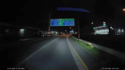
- Street-level photo, ThailandCambodia, CC BY-SA 4.0
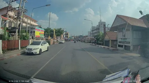
- Street-level photo, ThailandCambodia, CC BY-SA 4.0
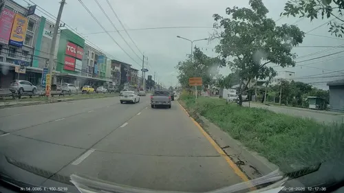
- Street-level photo, ThailandCambodia, CC BY-SA 4.0
- Street-level photo, ThailandCambodia, CC BY-SA 4.0
- Street-level photo, ozflor, CC BY-SA 4.0
- Street-level photo, ThailandCambodia, CC BY-SA 4.0
- Street-level photo, ThailandCambodia, CC BY-SA 4.0
- Street-level photo, ThailandCambodia, CC BY-SA 4.0


Page built November 10, 2026. Spotted a mistake? Tell us or suggest a place.