


Phitsanulok, Thailand
เทศบาลนครพิษณุโลก
Phitsanulok is a regional capital of 62,584 people in Phitsanulok, Thailand.
Why visit Phitsanulok
Townapedia lists 14 museums and landmarks, 3 parks and trails, 110 places to eat and 55 places to stay in and around town.
Highlights include Chan Royal Palace and Phra Phutthachinnarat National Museum.
Weather in Phitsanulok
Forecast from MET Norway (CC BY 4.0). Full forecast
About Phitsanulok
Phitsanulok (Thai: พิษณุโลก, pronounced [pʰít.sà.nú.lôːk]) is a city municipality in northern Thailand and the capital of Phitsanulok province. In 2024 it had a city population of 60,827 and an urban population of about 200,000. That made it Thailand's 19th-most populous city proper and one of the major urban centers of the north. Located in the geographic center of the province, it occupies the fertile plains along the banks of the Nan River, which flows south to join the Chao Phraya River.
From the Wikipedia article Phitsanulok (this version), under CC BY-SA 4.0.
Travel tips from other travellers: Phitsanulok on Wikivoyage (CC BY-SA 4.0).
Photos of Phitsanulok


Museums and landmarks14

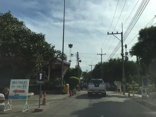
Chan Royal Palace
Museum · 0.6 km
Palace ruins in Phitsanulok province, Thailand



Sgt Major Thawee Folk Museum
Museum · 2.3 km
26 138 ถนนวิสุทธิ์กษัตริย์
Mo-Su 08:30-16:30

Pond with giant waterlilies
Monument and historic site · 3.0 km
Buranathai Buddha Casting Foundry (Cha Thavi)
Monument and historic site · 2.4 km
2 more on the map.
Parks, trails and playgrounds3


Restaurants and cafes110
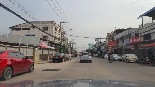
Churn Café Phitsanulok
Cafe · Cake, Coffee Shop · 0.8 km
23 ถนนเอกาทศรฐ
Tu-Su 08:00-17:00
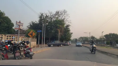
In Between
Cafe · Coffee Shop, Tea, Sandwich, Cake, Asian · 1.3 km
6
Mo-Su 07:00-20:00
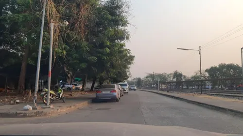
Meet smile coffee and Thai restaurant
Restaurant · Ice Cream, Diner, Tea, Seafood, Coffee Shop, Thai · 1.3 km
Phitsanulok train station
Mo-Su 07:30-09:00
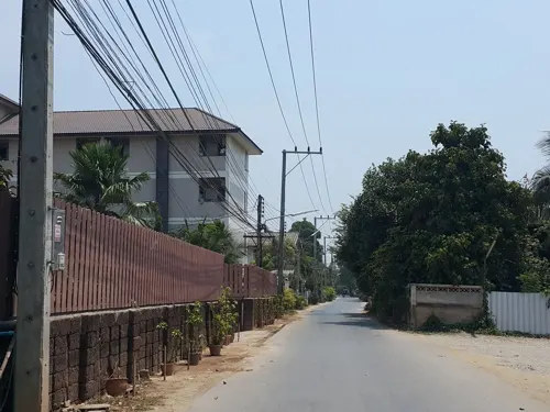
Nannum Restaurant & Cafe
Restaurant · Thai, Indian · 1.5 km
ถนนพหลโยธิน
Mo-Su 11:00-23:00
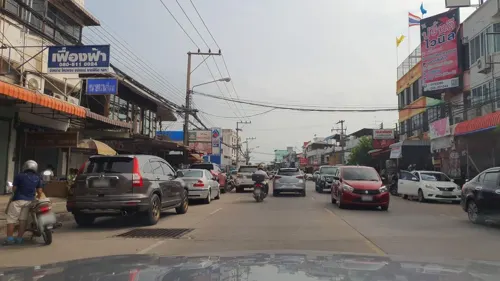
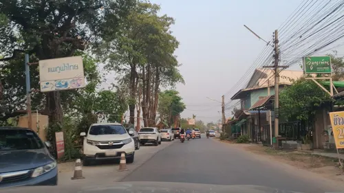
Banana leaf
Restaurant · American, International, Thai · 2.5 km
Mo-Su 09:00-16:00, 17:00-23:00


Fareen & gift cafe
Restaurant · 2.3 km
777, 10 หมู่ที่ 5 Damri Phatthana, Mueang Phitsanulok District, Phitsanulok 65000
Mo-Su 10:00-19:00
Kednaree Café
Cafe · Coffee Shop, Pizza, Tea, Thai · 3.7 km
133/36
Mo-Su 08:00-21:00
Noklek Vietnam @ sap-anun
Restaurant · Vietnamese, Local · 2.7 km
ถนนชาญเวชกิจ
Mo-Su 10:00-16:00
Bann Rabiangmai Resturent
Restaurant · Thai, Chinese · 0.6 km
Mo-Su 11:30-22:30
98 more on the map.
Where to stay55
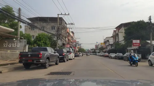

Central View Residence
Motel and hotel · 3.8 km
333 ซ.โชคชัย พลายชุมพล
43 more on the map.
History
Phitsanulok is one of the oldest cities in Thailand. "Muang Yommarat" (เมืองยมราช), a circular-moated Dvaravati settlement of the 6th to 10th centuries about 1 kilometer across, lay 8 kilometers northwest of the present-day city center. The new city named "Song Khwae" was later founded over 600 years ago, located 5 kilometers south of the present-day Phitsanulok. According to the retrospective chronology derived from the textual evidence presented in the Ayutthaya Testimonies, the city of Phitsanulok was established in 937 by a monarch of Sankhaburi named Sudhammaraja. It then became under the Angkor influence around the 11th – 12th centuries.
Read more of the history
Phitsanulok was originally named "Song Khwae" (lit. "Two Rivers") as it used to be situated between the Nan and Khwae Noi Rivers, although the Khwae Noi River now drains into the Nan River ten kilometers to the north of Phitsanulok. The Northern Chronicles credited the foundation of Song Khwae to "King Srithampidok" or King Thammaracha I of Sukhothai, on the east bank of Nan River. King Thammaracha I also constructed the Wat Phra Si Rattana Mahathat and cast famous Buddha images of Phra Buddha Chinnarat and Phra Buddha Chinnasri. Song Khwae eclipsed Sukhothai in importance, becoming the royal seat of Sukhothai Kingdom in 1378. After the demise of the last King of Sukhothai at Song Khwae in 1438, Prince Ramesuan of Ayutthaya came to rule Song Khwae. When Prince Ramesuan was crowned as King Trailokanat of Ayutthaya in 1448, Song Khwae and the Sukhothai Kingdom were incorporated into the Ayutthaya Kingdom.
The Ayutthaya annals call the town Chainat, where the Sukhothai inscriptions call it Song Khwae, until the two names were dropped in 1463. During the Ayutthaya-Lanna War, King Trailokanat moved his residence to Song Khwae in 1464 and renamed the city "Phitsanulok" (from Sanskrit Vishnu and Loka "world"). He expanded the city westward to the west bank of Nan River. Siroch Sittisombut dates the move to 1463, and describes it as joining Chainat and Song Khwae inside a single wall. In the sixteenth century, Phitsanulok was the seat of Uparaja or heir presumptive to Ayutthaya throne who took residence in the Chantana Palace on the west bank. In 1548, King Maha Chakkraphat appointed his supporter Phra Pirenthorathep as "King Thammaracha" of Phitsanulok as a tributary ruler. During the Burmese-Siamese Wars, Phitsanulok and the Sukhothai region became battlegrounds between Burma and Siam. When King Bayinnaung invaded Phitsanulok in 1563, King Thammaracha of Phitsanulok submitted to the Burmese.
King Thammaracha, now reigned at Ayutthaya, appointed his son Prince Naresuan as the Uparaja of Phitsanulok in 1570. In 1584, Prince Naresuan ordered the evacuation of all cities in the Sukhothai region including Phitsanulok down south in preparations against Burmese invasions. Phitsanulok was abandoned until it was later restored in 1593 not as a Uparaja seat but as a Muang Ek or first-level city held by a governor, becoming the center of Siamese administrations in northern regions. The governors of Phitsanulok held the title "Chao Phraya Surasi". After the Second Fall of Ayutthaya in 1767, Phitsanulok came under the rule of Chao Phra Fang, a monk who declared himself a local lord based on the town of Fang (modern Uttaradit). King Taksin of Thonburi sent forces to capture Phitsanulok in 1768 and appointed Boonma (later Prince Maha Sura Singhanat) as Chao Phraya Surasi the governor of Phitsanulok.
The Burmese General Maha Thiha Thura laid siege on Phitsanulok in 1775. Chao Phraya Chakri (future King Rama I) and his brother Chao Phraya Surasi Boonma held the city for four months until the city finally fell to the Burmese. Phitsanulok was utterly destroyed on this occasion. The Burmese invaded again in 1785 and Phitsanulok was abandoned temporarily because the manpower shortage left the city defenseless. After the series of warfare, Phitsanulok was in ruins and depopulated through the nineteenth century. The Phra Buddha Chinnasri image was moved to Wat Baworn Niwet in Bangkok in 1829. In 1834, the Phuan people were deported from Muang Phuan in Laos to re-populate Phitsanulok and surrounding cities. Phitsanulok slowly recovered to be an urban center.
As a part of reforms of King Chulalongkorn, Phitsanulok became the administrative seat of the monthon Phitsanulok in 1894. When the monthons were abolished in 1932, Phitsanulok became the capital of Phitsanulok Province.
Chaipong Samnieng, summarising Jiraporn Stapanawatana's social history of the town, describes a Free Thai organisation in Phitsanulok during the Second World War, built through the civil service and reaching Tak and Uttaradit. He reports that the Japanese troops stationed there entered the life of the town as employers and trading partners rather than only as enemies.
The Phitsanulok fire of 1957 destroyed much of the older portion of the city, which at the time consisted mostly of wooden buildings. On 28 November 1961, the King Naresuan Shrine was completed at Chandra Palace. On 25 January 1967, the Phitsanulok campus of what is now Naresuan University was established as the northern branch of the degree level College of Education. In 1974, the College of Education was upgraded as Srinakharinwirot University, with Phitsanulok as one of the six campuses. In 1990, the regional campuses became independent universities, and the Phitsanuloke campus was named after Phitsanulok-born King Naresuan the Great.
Naresuan Dam was constructed from 1976 to 1985 on the Nan River as part of the Phitsanulok Irrigation Project. The dam was designed to help prevent flooding of the city. On 8 March 1999 Phitsanulok was upgraded to city municipality (thesaban nakhon).
From the History section of Phitsanulok on Wikipedia, under CC BY-SA 4.0.
More about Phitsanulok
Geography
Phitsanulok is in the north of Thailand. Phitsanulok is about 377 kilometres north of Bangkok by road. Phitsanulok covers some 777 square kilometres and borders Uttaradit and Laos to the north, and Loei and Phetchabun to the northeast. The south is adjacent to Phichit while the west is adjacent to Kamphaeng Phet Province and Sukhothai.
Phitsanulok has many waterfalls, forests and caves. In the north is central area. In the north-west is a highland. It's the important recreational area such as Kaeng Sopha waterfall, Phu Hin Rong Kla and Phu Soi Dow. In the south plains along the Yom River and the Nan River is the most important agricultural district of Phitsanulok.
Phitsanulok lies primarily on flatland with some hills. The eastern portion of the city has some wooded area. The city is in the Nan Basin, which is part of the Chao Phraya watershed. Phitsanulok is sometimes called Song Kwae, the city of two rivers, a name dating to a time centuries ago when the Nan and Khwae Noi Rivers met near the city. Today, only the Nan River flows through Phitsanulok.
Arts and culture
Phitsanulok is home to a number of historic sculptures of the Buddha and other religious artwork including the Buddha Chinnarat, the Buddha Chinnasi, the Phra Si Satsada.
Lilit Yuan Pai (Thai: ลิลิตยวนพ่าย, English: Tale of the Fall of Lanna)
Lilit Prá Lô (Thai: ลิลิตพระลอ, English: Tale of the Hero Lô)
Klohng Táwâatsàmàat (Thai: โคลงทวาทศมาส, English: Poem of the Twelve Months)
Gam Sŏn Sĕe Bpràat (Thai: กำศรวลศรีปราชญ์, English: The Legendary Wise Archer's Grip)
The predominant literary language (as well as the predominant spoken language) is the central Thai dialect of the Thai language, which is written in the Thai alphabet.
Education
Naresuan University (abbreviated Mor Nor for Mahawithayalai Naresuan) is an educational center of the lower northern region of Thailand. Now in Tha Pho, near the city of Phitsanulok, the university was named after King Naresuan the Great, and the campus features a large statue of him. Other universities and colleges in or around the city include Phitsanulok University (private), Sirindhorn College of Public Health, Rajabhat Pibulsongkram University (formerly a teacher training college), and the Phitsanulok campus of the Rajamangala University of Technology Lanna.
Janokrong school.[3] Archived 26 August 2018 at the Wayback Machine
Puttha Chinnarat Pitthaya school.[4] Archived 27 March 2021 at the Wayback Machine
From the Wikipedia article Phitsanulok, under CC BY-SA 4.0.
Notable people from Phitsanulok
 Phao SiyanonDirector general of Thailand's national police (1910–1960)Photo: Unknown author Unknown author, Public domain
 Ukrit Wongmeemafootball playerPhoto: EL Loko Foto, CC BY 4.0
 Saiyok PumpanmuangThai kick boxerPhoto: Sentimex, CC BY-SA 4.0
 Kissanapong TisuwanThai para-athletePhoto: We are bg, CC0
- Ramathibodi IIKing of Sukhothai then King of Ayutthaya
- Puttita SupajirakulThai badminton player
- Amnaj KaewkiewThai footballer
- Putthinan WannasriThai footballer
- Pollawat PinkongThai footballer
- Akkasit ChaobutrThai footballer
- Anongporn Promratvolleyball player
- Nutwadee PramnakThai association football player
Born in Phitsanulok, according to Wikidata (CC0). Each name links to its Wikipedia article.
Churches and places of worship26
Wat Phra Si Rattanamaha That Woramahawihan
Place of worship
92/3 Phutthabucha Alley
Shopping14
Gas and EV charging16
Schools, colleges and libraries33
Healthcare15
Map of Phitsanulok
250 places. The map loads OpenStreetMap tiles when you open it.
Getting there and nearby towns
Phitsanulok Airport (PHS) is the nearest airport with scheduled flights listed in OpenStreetMap, 5 km away.
- Ban Aranyik 3 km east, about 3 min by car
- Bang Rakam 17 km southwest, about 17 min by car
- Bang Krathum 28 km south, about 28 min by car
- Phichit 44 km south, about 44 min by car
- Khiri Mat 49 km west, about 49 min by car
- Sukhothai 51 km northwest, about 51 min by car
- Lan Krabue 50 km southwest, about 50 min by car
- Wang Sai Phun 57 km southeast, about 57 min by car
- Ban Na 60 km west, about 1 h by car
- Kamphaeng Phet 87 km southwest, about 1 h 30 min by car
Drive times are estimates from straight-line distance, not routes.
Towns near Phitsanulok


Keep exploring
Local news
Headlines from INDB.
Reviews, tips and questions
Loading what members have shared...
Sources and licences
- GeoNames (CC BY 4.0): population, coordinates, regions and time zone
- Mapillary (see each image): photos
- OpenStreetMap contributors (ODbL 1.0): places, airports, map data
- Wikidata (CC0 1.0): elevation, founding date, time zone, website, landmarks and historic places
- Wikimedia Commons (see each image): photos
- Wikipedia (CC BY-SA 4.0): overview and history text
Photo credits
- Phitsanulok skyline, Alex Jonlin at en.wikipedia, Public domain
- Route 12 in Phitsanulok 1, Christophe95, CC BY-SA 4.0
- Route 12 in Phitsanulok 2, Christophe95, CC BY-SA 4.0
- ถนนเข้าเมือง-Phitsanulok Road - panoramio, ::::=UT=::::, CC BY-SA 3.0
- Phitsanulok City Pillar Shrine 4, Christophe95, CC BY-SA 4.0
- ศาลหลักเมืองจังหวัดพิษณุโลก-Phitsanulok City pillar Shine - panoramio, ::::=UT=::::, CC BY-SA 3.0
- Phitsanulok City Pillar Shrine 3, Christophe95, CC BY-SA 4.0
- Phitsanulok City Pillar Shrine 1, Christophe95, CC BY-SA 4.0
- Phitsanulok City Pillar Shrine 2, Christophe95, CC BY-SA 4.0
- Phitsanulok Provincial Court, Christophe95, CC BY-SA 4.0
- Nan River in Phitsanulok 4, Christophe95, CC BY-SA 4.0
- Nan River in Phitsanulok 3, Christophe95, CC BY-SA 4.0
- Naresuan Bridge in Phitsanulok, Christophe95, CC BY-SA 4.0
- Nan River in Phitsanulok 7, Christophe95, CC BY-SA 4.0
- Nan River in Phitsanulok 6, Christophe95, CC BY-SA 4.0
- Phitsanulok, Mueang Phitsanulok District, Phitsanulok 65000, Thailand - panoramio (46), katsunori.n, CC BY 3.0
- Nan River in Phitsanulok 2, Christophe95, CC BY-SA 4.0
- Nan River in Phitsanulok 1, Christophe95, CC BY-SA 4.0
- Phitsanulok-01, Wayne77, CC BY-SA 3.0
- Intersection in Phitsanulok, Christophe95, CC BY-SA 4.0
- Nan River in Phitsanulok 5, Christophe95, CC BY-SA 4.0
- Phitsanulok, Mueang Phitsanulok District, Phitsanulok 65000, Thailand - panoramio (44), katsunori.n, CC BY 3.0
- Wat Phra Si Rattana Mahathat in Phitsanulok 3, Christophe95, CC BY-SA 4.0
- Phitsanulok, Mueang Phitsanulok District, Phitsanulok 65000, Thailand - panoramio (10), katsunori.n, CC BY 3.0
- Phitsanulok, Mueang Phitsanulok District, Phitsanulok 65000, Thailand - panoramio (42), katsunori.n, CC BY 3.0
- Phitsanulok, Mueang Phitsanulok District, Phitsanulok 65000, Thailand - panoramio (39), katsunori.n, CC BY 3.0
- วัดพระศรีรัตนมหาธาตุ,Golden Prang@Wat Pra Sri Rattana Mahatat,Phitsanulok - panoramio, ::::=UT=::::, CC BY-SA 3.0
- วัดพระศรีรัตนมหาธาตุ Evening@Wat Pra Sri Rattana Mahatat,Phitsanulok - panoramio, ::::=UT=::::, CC BY-SA 3.0
- Phitsanulok, Mueang Phitsanulok District, Phitsanulok 65000, Thailand - panoramio (43), katsunori.n, CC BY 3.0
- March 2022 - Royal Stupa, Wat Ratcha Burana, Phitsanulok - พระเจดีย์หลวง วัดราชบูรณะ พิษณุโลก - img 01, Chainwit., CC BY-SA 4.0
- วัดนางพญา อ.เมือง จ.พิษณุโลก, กสิณธร ราชโอรส, CC BY-SA 4.0
- Wat Wihan Thong, Phitsanulok - วัดวิหารทอง พิษณุโลก -img 09, Chainwit., CC BY-SA 4.0
- Wat Sri Sukhot วัดศรีสุคต พระราชวังจันทน์ 03, Chainwit., CC BY-SA 4.0
- Wat Pho Thong Phitsanulok วัดโพธิ์ทอง พระราชวังจันทน์ 01, Chainwit., CC BY-SA 4.0
- Ruins of Chan Royal Palace พระราชวังจันทน์ พิษณุโลก - img 01, Chainwit., CC BY-SA 4.0
- Chan Royal Palace Historical Center (March 2022) entrance, Chainwit., CC BY-SA 4.0
- ศาลหลักเมืองจังหวัดพิษณุโลก2-City pillar Shine - panoramio, ::::=UT=::::, CC BY-SA 3.0
- ท่าน้ำหน้าวัดพระศรีมหาธาตุ(River bank in front of Wat pra sri ratana mahatat) - panoramio, ::::=UT=::::, CC BY-SA 3.0
- ท่าน้ำหน้าวัดพระศรีมหาธาตุ4 - panoramio, ::::=UT=::::, CC BY-SA 3.0
- มองเจดีย์อีกฝากหน่ง-Chedi of Wat Ratburana - panoramio, ::::=UT=::::, CC BY-SA 3.0
- Street-level photo, jrcarlsen, CC BY-SA 4.0
- Street-level photo, jrcarlsen, CC BY-SA 4.0
- Street-level photo, jrcarlsen, CC BY-SA 4.0
- Street-level photo, jrcarlsen, CC BY-SA 4.0
- Street-level photo, jrcarlsen, CC BY-SA 4.0
- Street-level photo, jrcarlsen, CC BY-SA 4.0
- Street-level photo, jrcarlsen, CC BY-SA 4.0
- Street-level photo, kyoko, CC BY-SA 4.0
- Street-level photo, kyoko, CC BY-SA 4.0
- Street-level photo, jrcarlsen, CC BY-SA 4.0
- Street-level photo, jrcarlsen, CC BY-SA 4.0
- Street-level photo, jrcarlsen, CC BY-SA 4.0
- Street-level photo, jrcarlsen, CC BY-SA 4.0
- Street-level photo, jrcarlsen, CC BY-SA 4.0
- Street-level photo, kyoko, CC BY-SA 4.0
- Street-level photo, kyoko, CC BY-SA 4.0
- Street-level photo, mishari, CC BY-SA 4.0
- Street-level photo, jrcarlsen, CC BY-SA 4.0
- Street-level photo, jrcarlsen, CC BY-SA 4.0
- Street-level photo, jrcarlsen, CC BY-SA 4.0
- Street-level photo, jrcarlsen, CC BY-SA 4.0


Page built November 10, 2026. Spotted a mistake? Tell us or suggest a place.