


San Kamphaeng, Thailand
เทศบาลตำบลสันกำแพง
San Kamphaeng is a town of 32,950 people in Chiang Mai, Thailand.
Why visit San Kamphaeng
Townapedia lists 1 museum or landmark, 30 places to eat and 5 places to stay in and around town.
Highlights include Sankamphaeng Walking Street.
Weather in San Kamphaeng
Forecast from MET Norway (CC BY 4.0). Full forecast
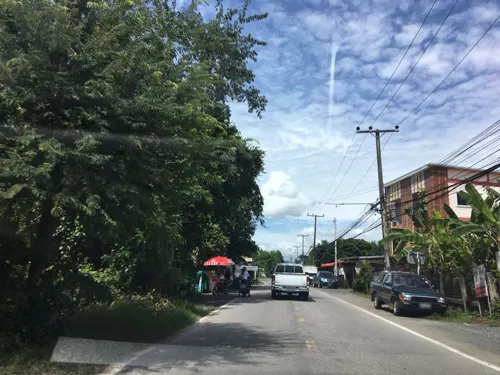
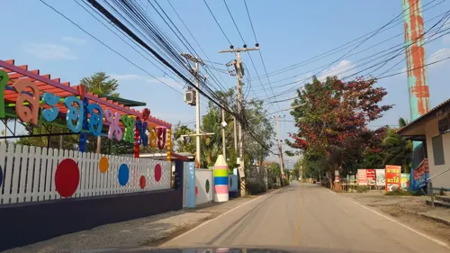
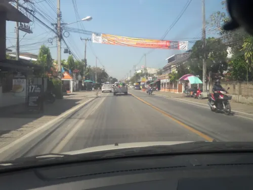
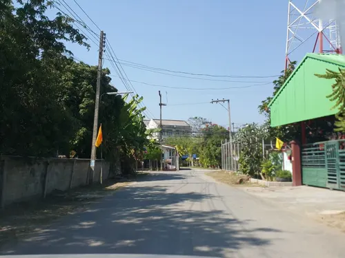
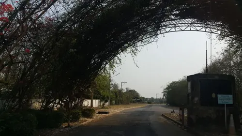
Photos of San Kamphaeng


Museums and landmarks1

Sankamphaeng Walking Street
Monument and historic site
ถนนเจริญเมือง
Sa 17:00-22:00
Restaurants and cafes30
ฺBAN MAE ALL DAY Braised Pork Leg with Rice
Restaurant · Thai, Regional, Chinese, Asian · 2.0 km
2/1 บ้านแช่ช้าง - บ้านร้องกองข้าว
Mo-Su 07:00-20:00
Brewology 89 Coffee
Cafe · Coffee Shop · 2.4 km
1/12 moo12 สันต้นบง ซอย 3
Mo-Su 07:00-20:00

18 more on the map.
Where to stay5

Churches and places of worship14


2 more on the map.
Shopping1
Gas and EV charging2
Schools, colleges and libraries7
Healthcare7
Ban Talat Subdistrict Health Promoting Hospital
Clinic and pharmacy · 0.7 km
170 หมูู่ 7 ตำบลสันกำแพง ถนนเชียงใหม่-สันกำแพง, อำเภอสันกำแพง
Map of San Kamphaeng
67 places. The map loads OpenStreetMap tiles when you open it.
Getting there and nearby towns
Chiang Mai International Airport (CNX) is the nearest airport with scheduled flights listed in OpenStreetMap, 16 km away.
- Chiang Mai 15 km west, about 15 min by car
- Lamphun 22 km southwest, about 22 min by car
- Hang Dong 22 km west, about 22 min by car
- San Pa Tong 27 km southwest, about 27 min by car
- Pa Sang 31 km southwest, about 31 min by car
- Mae Tha 31 km south, about 31 min by car
- Ban Pa Khaem 41 km north, about 41 min by car
- Chom Thong 59 km southwest, about 59 min by car
- Lampang 64 km southeast, about 1 h by car
- Ban Mae Waen 64 km north, about 1 h by car
Drive times are estimates from straight-line distance, not routes.
Towns near San Kamphaeng


Keep exploring
Local news
Headlines from INDB.
Reviews, tips and questions
Loading what members have shared...
Sources and licences
- GeoNames (CC BY 4.0): population, coordinates, regions and time zone
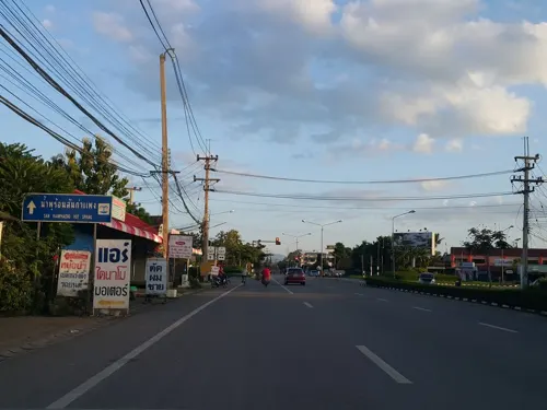
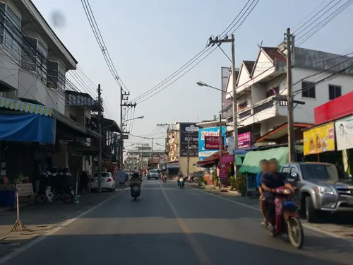
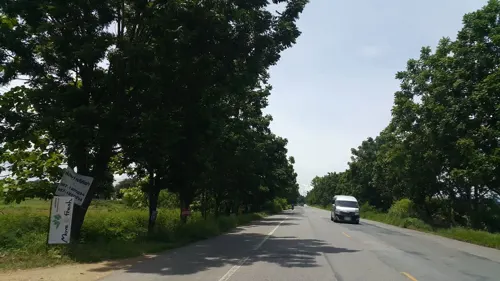
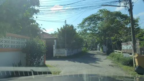
- Mapillary (see each image): photos
- OpenStreetMap contributors (ODbL 1.0): places, airports, map data
- Wikidata (CC0 1.0): elevation, founding date, time zone, website
- Wikimedia Commons (see each image): photos
Photo credits
- Wat Rong Tham Samakkhi Shinawatra begraafplaats info IMG20240307110946b, FredTC, CC BY-SA 4.0
- Wat Rong Tham Samakkhi Ubosot IMG20240307110623a, FredTC, CC BY-SA 4.0
- Wat Rong Tham Samakkhi Wihan IMG20240307111147a, FredTC, CC BY-SA 4.0
- Wat Rong Tham Samakkhi Chedi IMG20240307110853a, FredTC, CC BY-SA 4.0
- Wat Rong Tham Samakkhi Chedi IMG20240307110823a, FredTC, CC BY-SA 4.0
- Wat Rong Tham Samakkhi Chedi IMG20240307110739a, FredTC, CC BY-SA 4.0
- Wat Rong Tham Samakkhi Ubosot IMG20240307110703a, FredTC, CC BY-SA 4.0
- Wat Rong Tham Samakkhi Shinawatra begraafplaats IMG20240307111020 stitch1, FredTC, CC BY-SA 4.0
- Kru Phon Narupai with his twin and Kru Lop Narupai training in Thailand - Dec 2021, Dacuevas, CC BY-SA 4.0
- View from the Air (THAILAND-BANGKOK-CHIANGMAI) VIII (1172231724), Chi King, CC BY 2.0
- View from the Air (THAILAND-BANGKOK-CHIANGMAI) III (672641859), Chi King, CC BY 2.0
- View from the Air (THAILAND-BANGKOK-CHIANGMAI) I (672642031), Chi King, CC BY 2.0
- View from the Air (THAILAND-BANGKOK-CHIANGMAI) VI (1092622377), Chi King, CC BY 2.0
- View from the Air (THAILAND-BANGKOK-CHIANGMAI) VII (672641833), Chi King, CC BY 2.0
- View from the Air (THAILAND-BANGKOK-CHIANGMAI) II (672641945), Chi King, CC BY 2.0
- View from the Air (THAILAND-BANGKOK-CHIANGMAI) IV (1093468290), Chi King, CC BY 2.0
- View from the Air (THAILAND-BANGKOK-CHIANGMAI) V (1093476794), Chi King, CC BY 2.0
- Street-level photo, wapriz, CC BY-SA 4.0
- Street-level photo, jrcarlsen, CC BY-SA 4.0
- Street-level photo, jrcarlsen, CC BY-SA 4.0
- Street-level photo, noochjaree, CC BY-SA 4.0
- Street-level photo, noochjaree, CC BY-SA 4.0
- Street-level photo, jrcarlsen, CC BY-SA 4.0
- Street-level photo, jrcarlsen, CC BY-SA 4.0
- Street-level photo, jrcarlsen, CC BY-SA 4.0
- Street-level photo, jrcarlsen, CC BY-SA 4.0
- Street-level photo, jrcarlsen, CC BY-SA 4.0
- Street-level photo, jrcarlsen, CC BY-SA 4.0
- Street-level photo, jrcarlsen, CC BY-SA 4.0
- Street-level photo, jrcarlsen, CC BY-SA 4.0
- Street-level photo, noochjaree, CC BY-SA 4.0


Page built November 10, 2026. Spotted a mistake? Tell us or suggest a place.