


Why visit Behram
Townapedia lists 6 museums and landmarks, 6 places to eat and 9 places to stay in and around town.
Highlights include Assos and Temple of Athena.
Weather in Behram
Forecast from MET Norway (CC BY 4.0). Full forecast
About Behram
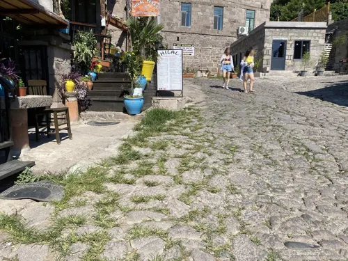
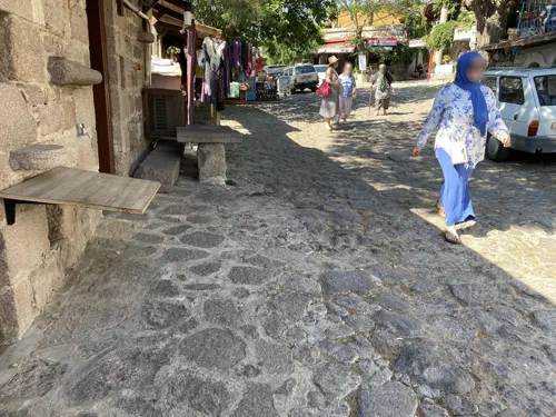
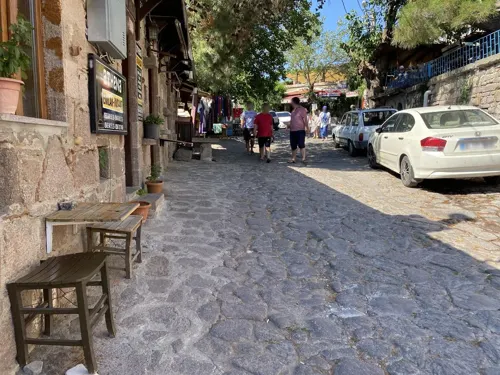
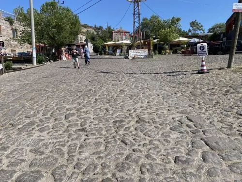
Behram is a village in the Ayvacık District of Çanakkale Province in Turkey. Its population is 652 (2021). The ruins of Assos lie near the village.
From the Wikipedia article Behram, Ayvacık (this version), under CC BY-SA 4.0.
Museums and landmarks6

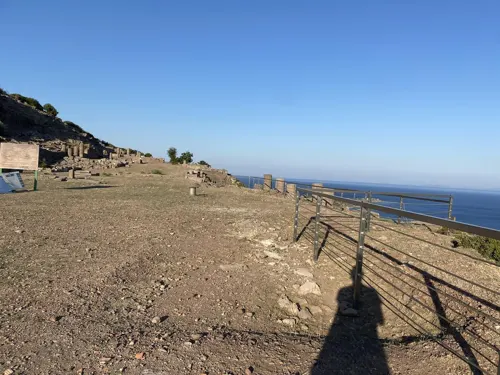
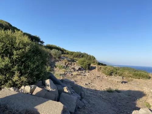
Assos
Monument and historic site
Ancient city of Troas in modern-day Turkey



Restaurants and cafes6
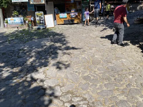
Assos Bohemian Cafe Restaurant
Restaurant · Italian Pizza, Turkish
No: 66 Behramkale Köyü, Köyiçi mevkii
Fr-Su 13:30-21:00
Where to stay9


Churches and places of worship2



Shopping1
Gas and EV charging1
Schools, colleges and libraries1
Map of Behram
26 places. The map loads OpenStreetMap tiles when you open it.
Getting there and nearby towns
Balıkesir Koca Seyit Airport (EDO) is the nearest airport with scheduled flights listed in OpenStreetMap, 58 km away.
- Ayvacık 13 km northeast, about 13 min by car
- Ezine 32 km north, about 32 min by car
- Altınoluk 36 km east, about 36 min by car
- Bozcaada 44 km northwest, about 44 min by car
- Gömeç 45 km east, about 45 min by car
- Burhaniye 55 km east, about 55 min by car
- Edremit 60 km east, about 1 h by car
- Dikili 67 km southeast, about 1 h by car
- Çanakkale 74 km north, about 1 h 15 min by car
- Bergama 84 km southeast, about 1 h 30 min by car
Drive times are estimates from straight-line distance, not routes.
Local news
Headlines from INDB.
Reviews, tips and questions
Loading what members have shared...
Sources and licences
- GeoNames (CC BY 4.0): population, coordinates, regions and time zone
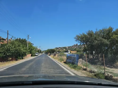
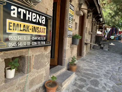
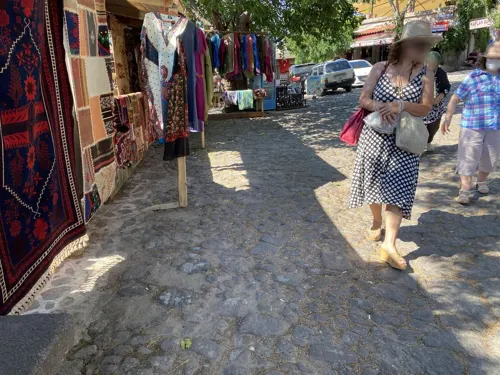
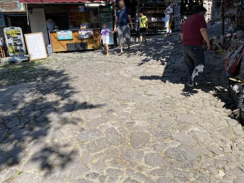
- Mapillary (see each image): photos
- OpenStreetMap contributors (ODbL 1.0): places, airports, map data
- Wikidata (CC0 1.0): elevation, founding date, time zone, website, landmarks and historic places
- Wikimedia Commons (see each image): photos
- Wikipedia (CC BY-SA 4.0): overview and history text
Photo credits
- Behram Kale 2026-09-15 10.27.53 1789477413, Emirhan Sağdır, CC BY-SA 4.0
- Behram Kale 2026-09-15 10.27.57 1789477397, Emirhan Sağdır, CC BY-SA 4.0
- Lahit (Behram) 2026-09-15 10.28.44 1789477488, Emirhan Sağdır, CC BY-SA 4.0
- Behramkale -Asoss - panoramio (1), HALUK COMERTEL, CC BY 3.0
- Asoss -Behramkale - panoramio, HALUK COMERTEL, CC BY 3.0
- Behram, Çanakkale, Kadı, CC BY-SA 4.0
- Assos, Gregorof at English Wikipedia, CC BY-SA 2.5
- Assos02, KureCewlik81, Public domain
- Assos (1995) 19 (7902773580), Carl Campbell from Santiago de Querétaro, México, CC BY 2.0
- Assos Nekropolis 2026-09-14 11.15.32 1789477232, Emirhan Sağdır, CC BY-SA 4.0
- Assos Nekropolis 2026-09-14 11.05.05 1789477293, Emirhan Sağdır, CC BY-SA 4.0
- Assos Nekropolis 2026-09-14 11.07.36 1789477276, Emirhan Sağdır, CC BY-SA 4.0
- Assos Nekropolis 2026-09-14 11.10.06 1789477255, Emirhan Sağdır, CC BY-SA 4.0
- Cat 8689, Nevit Dilmen ( talk ), CC BY-SA 3.0
- Supported Branch 8897, Nevit Dilmen ( talk ), CC BY-SA 3.0
- Bottles 8882, Nevit Dilmen ( talk ), CC BY-SA 3.0
- Jellyfish 8655, Nevit Dilmen ( talk ), CC BY-SA 3.0
- Jellyfish 8681, Nevit Dilmen ( talk ), CC BY-SA 3.0
- Stone bird 8679, Nevit Dilmen ( talk ), CC BY-SA 3.0
- Cat 8636-a, Nevit Dilmen ( talk ), CC BY-SA 3.0
- Clouds 8872, Nevit Dilmen ( talk ), CC BY-SA 3.0
- Red 8994, Nevit Dilmen ( talk ), CC BY-SA 3.0
- Bottles 8991, Nevit Dilmen ( talk ), CC BY-SA 3.0
- Bottles 8868, Nevit Dilmen ( talk ), CC BY-SA 3.0
- Chandelier 8641, Nevit Dilmen ( talk ), CC BY-SA 3.0
- Assos Walls 018, Dosseman, CC BY-SA 4.0
- Assos Antik Kenti, Kadı, CC BY-SA 4.0
- Assos - Mar Egeo - panoramio, Geobia7, CC BY-SA 3.0
- Assos Antik Kenti 01, Ferit BAYCUMAN This photo was taken with iPhone SE (1st generation), CC BY-SA 4.0
- Temple Of Athena (Assos), Bilgehan Güneri, CC BY-SA 4.0
- Tuerkei-7465, Herbert Weber, Hildesheim, CC BY-SA 4.0
- Athena Tapınağı (Assos) 2026-09-14 10.27.42 1790849984, Emirhan Sağdır, CC BY-SA 4.0
- Athena Tapınağı (Assos) 2026-09-14 20.42.31 1789476906, Emirhan Sağdır, CC BY-SA 4.0
- Athena Tapınağı (Assos) 2026-09-14 20.42.31 1789476913, Emirhan Sağdır, CC BY-SA 4.0
- Temple of Athena at Assos Onsite Model, by rock, CC BY 3.0
- Athena Tapınağı, Thecatcherintherye, CC BY-SA 4.0
- Tuerkei-7460-PS87-PS88, Herbert Weber, Hildesheim, CC BY-SA 4.0
- Tuerkei-7459, Herbert Weber, Hildesheim, CC BY-SA 4.0
- Istanbul to Izmir FTT banner Temple of Athena in Assos, Herbert Weber, Hildesheim, CC BY-SA 4.0
- Istanbul to Izmir FTT banner Temple of Athena in Assos 2, Herbert Weber, Hildesheim, CC BY-SA 4.0
- Assos - Akropolis Wall - panoramio, horsch, CC BY-SA 3.0
- Street-level photo, asturksever, CC BY-SA 4.0
- Street-level photo, asturksever, CC BY-SA 4.0
- Street-level photo, asturksever, CC BY-SA 4.0
- Street-level photo, observer17, CC BY-SA 4.0
- Street-level photo, asturksever, CC BY-SA 4.0
- Street-level photo, asturksever, CC BY-SA 4.0
- Street-level photo, asturksever, CC BY-SA 4.0
- Street-level photo, asturksever, CC BY-SA 4.0
- Street-level photo, asturksever, CC BY-SA 4.0
- Street-level photo, asturksever, CC BY-SA 4.0
- Street-level photo, asturksever, CC BY-SA 4.0
- Street-level photo, asturksever, CC BY-SA 4.0


Page built November 8, 2026. Spotted a mistake? Tell us or suggest a place.