


Bulancak, Turkey
Bulancak (ilçe merkezi)
Bulancak is a town of 43,635 people in Giresun, Turkey.
Why visit Bulancak
Townapedia lists 2 museums and landmarks, 18 parks and trails, 27 places to eat and 15 places to stay in and around town.
Highlights include Giresun Museum, Ischopolis and Port of Giresun.
Weather in Bulancak
Forecast from MET Norway (CC BY 4.0). Full forecast
About Bulancak
Bulancak (Georgian: ბულანჩაკი) is a town in Giresun Province on the Black Sea coast of Turkey, near the city of Giresun. Its former name is Terastios. It is the seat of Bulancak District. Its population is 49,053 (2022).
From the Wikipedia article Bulancak (this version), under CC BY-SA 4.0.
Museums and landmarks2
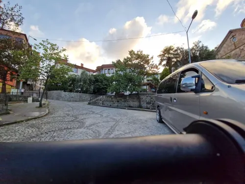
Giresun Museum
Museum · 13.8 km
Archaeology museum in Giresun, Turkey

Ischopolis
Monument and historic site · 3.1 km
Ancient city of Pontus, in modern-day Turkey, in modern-day Turkey
Parks, trails and playgrounds18


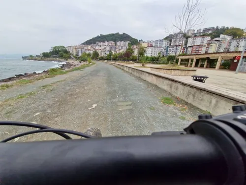

6 more on the map.
Restaurants and cafes27
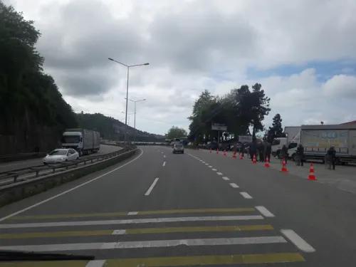
Metro Dinlenme Tesisi Kebir
Cafe · Ice Cream, Steak House, Pancake, Burger, Coffee Shop, Breakfast, Friture, Pasta, Cake, Sandwich, Bagel, Hot Dog, Sausage, Chicken, Turkish · 6.1 km
Ordu-Giresun yolu
24/7
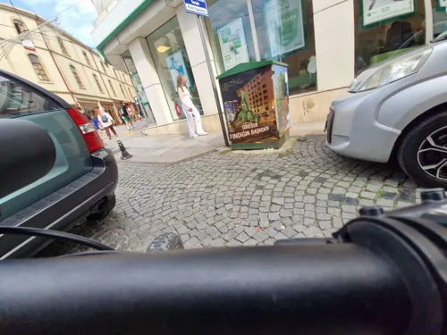
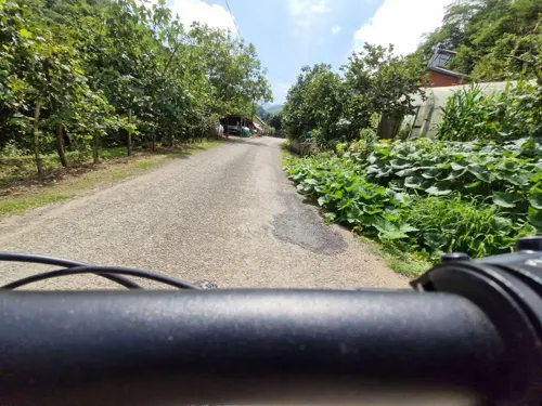
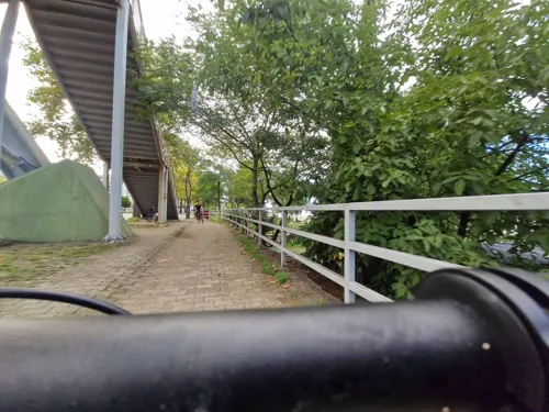


15 more on the map.
Where to stay15
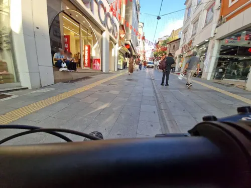



elit otel pansiyon
Motel and hotel · 1.3 km
7/A Barbados hayretin pasa Cad. No. 7 / A
Giresun Uygulama Oteli
Motel and hotel · 7.2 km
Ordu-Giresun yolu

3 more on the map.
History
The known history of the region goes back to the Hittites. While the region was under the rule of the Hittites in 1400-1200 BC, the Trabzon-Erzurum-Giresun regions were called "the land of the Azzi". The Milesians who were traders along the Aegean Region in antiquity established their trading colony of Kerasous, which the city and province of Giresun gets its name from, approximately around the modern town of Bulancak.
The Giresun area came under the rule of the Persian Empire in the 4th century BC, and then passed over to the rule of the Macedonians. In the 2nd and 1st centuries BC, the Kingdom of Pontus dominated the region. In 61 BC, when the Pontian King Mithridates the Great was defeated by the Roman Commander Lucullus, the city and local administration came under Roman rule.
When the Roman Empire was divided into two in AD 395, the Bulancak region came under the rule of the Eastern Roman Empire. When Constantinople, the capital of the Eastern Roman Empire, was invaded by the Crusaders in the 11th century AD, the children of Emperor Manuel Kommenos came to Trebizond and established the Empire of Trebizond, with modern-day city of Trabzon as the capital, in 1204 AD. Bulancak also remained within the borders of this state, and the city was named "Terastios" during the Komnenos period.
From the History section of Bulancak on Wikipedia, under CC BY-SA 4.0.
Churches and places of worship18
Shopping12
Gas and EV charging7
Schools, colleges and libraries19
Bulancak Kadir Karabaş Uygulamalı Bilimler Yüksekokulu
School · 4.0 km
10 Derya Cad., Giresun
Healthcare88
Map of Bulancak
206 places. The map loads OpenStreetMap tiles when you open it.
Getting there and nearby towns
Ordu Giresun Havalimanı (OGU) is the nearest airport with scheduled flights listed in OpenStreetMap, 13 km away.
- Piraziz 9 km west, about 9 min by car
- Giresun 13 km east, about 13 min by car
- Ordu 29 km west, about 29 min by car
- Perşembe 41 km west, about 41 min by car
- Tirebolu 49 km east, about 49 min by car
- Fatsa 62 km west, about 1 h by car
- Görele 66 km east, about 1 h by car
- Şebin Karahisar 74 km south, about 1 h 15 min by car
- Eynesil 78 km east, about 1 h 15 min by car
- Ünye 82 km west, about 1 h 15 min by car
Drive times are estimates from straight-line distance, not routes.
Local news
Headlines from INDB.
Reviews, tips and questions
Loading what members have shared...
Sources and licences
- GeoNames (CC BY 4.0): population, coordinates, regions and time zone
- Mapillary (see each image): photos
- OpenStreetMap contributors (ODbL 1.0): places, airports, map data
- Wikidata (CC0 1.0): elevation, founding date, time zone, website, landmarks and historic places
- Wikimedia Commons (see each image): photos
- Wikipedia (CC BY-SA 4.0): overview and history text
Photo credits
- Bulancak Meydan - panoramio, HuSeYiN, CC BY-SA 3.0
- Saryburnu Camii, Bulancak, Giresun, İmmortalance, CC BY-SA 3.0
- Saryburnu Camii, Bulancak, Giresun (69302), İmmortalance, CC BY-SA 3.0
- Sarayburnu Camii, Bulancak, Giresun, İmmortalance, CC BY-SA 3.0
- Sarayburnu Camii, Bulancak, Giresun (84763), İmmortalance, CC BY-SA 3.0
- Sarayburnu Camii, Bulancak, Giresun (96673), İmmortalance, CC BY-SA 3.0
- Sarayburnu Camii, Bulancak, Giresun (74993), İmmortalance, CC BY-SA 3.0
- Sarayburnu Camii, Bulancak, Giresun (88209), İmmortalance, CC BY-SA 3.0
- Sarayburnu Camii, Bulancak, Giresun (31245), İmmortalance, CC BY-SA 3.0
- Sarayburnu Camii, Bulancak, Giresun (30906), İmmortalance, CC BY-SA 3.0
- Sarayburnu Camii, Bulancak, Giresun (29599), İmmortalance, CC BY-SA 3.0
- Sarayburnu Camii, Bulancak, Giresun (79258), İmmortalance, CC BY-SA 3.0
- Sarayburnu Camii, Bulancak, Giresun (80581), İmmortalance, CC BY-SA 3.0
- Sarayburnu Camii, Bulancak, Giresun (57550), İmmortalance, CC BY-SA 3.0
- Bulancak - panoramio, HuSeYiN, CC BY-SA 3.0
- Bulancak - panoramio - HuSeYiN, HuSeYiN, CC BY-SA 3.0
- Giresunlimani, Danbury at Turkish Wikipedia, CC BY-SA 3.0
- Mosque of Sheikh Keramettin, Beyoglou, CC BY-SA 4.0
- CAKA - panoramio, HALUK COMERTEL, CC BY 3.0
- ISS053-E-19280 - View of Earth, Earth Science and Remote Sensing Unit , Lyndon B. Johnson Space Center, Public domain
- ISS031-E-72113 - View of Earth, Earth Science and Remote Sensing Unit , Lyndon B. Johnson Space Center, Public domain
- Güzellik hüner’se, maharet onu karanlıkta göstermektir. - panoramio, hüsamettin_alpaslan, CC BY 3.0
- Bakışma - panoramio, hüsamettin_alpaslan, CC BY 3.0
- Kaktüs (cactus) - panoramio, hüsamettin_alpaslan, CC BY 3.0
- Begonya (Begonia) - panoramio, hüsamettin_alpaslan, CC BY 3.0
- ISS053-E-19281 - View of Earth, Earth Science and Remote Sensing Unit , Lyndon B. Johnson Space Center, Public domain
- ISS043-E-110248 - View of Earth, Earth Science and Remote Sensing Unit , Lyndon B. Johnson Space Center, Public domain
- ISS043-E-110247 - View of Earth, Earth Science and Remote Sensing Unit , Lyndon B. Johnson Space Center, Public domain
- ISS065-E-391879 - View of Earth, Earth Science and Remote Sensing Unit , Lyndon B. Johnson Space Center, Public domain
- ISS043-E-110246 - View of Earth, Earth Science and Remote Sensing Unit , Lyndon B. Johnson Space Center, Public domain
- ISS031-E-158681 - View of Earth, Earth Science and Remote Sensing Unit , Lyndon B. Johnson Space Center, Public domain
- ISS031-E-158679 - View of Earth, Earth Science and Remote Sensing Unit , Lyndon B. Johnson Space Center, Public domain
- ISS065-E-391877 - View of Earth, Earth Science and Remote Sensing Unit , Lyndon B. Johnson Space Center, Public domain
- ISS065-E-396451 - View of Earth, Earth Science and Remote Sensing Unit , Lyndon B. Johnson Space Center, Public domain
- ISS031-E-158680 - View of Earth, Earth Science and Remote Sensing Unit , Lyndon B. Johnson Space Center, Public domain
- Giresun Güre Mh. Belediye Halk Plaji - panoramio, HuSeYiN, CC BY-SA 3.0
- Giresun Güre Mevkii Plaj - panoramio, HuSeYiN, CC BY-SA 3.0
- Giresun Belediye Plajı - panoramio, HuSeYiN, CC BY-SA 3.0
- Giresun Güre Mahallesi - panoramio, HuSeYiN, CC BY-SA 3.0
- Giresun 19 Eylül İlköğretim Okulu - panoramio, HuSeYiN, CC BY-SA 3.0
- Street-level photo, Ejderhan, CC BY-SA 4.0
- Street-level photo, semi, CC BY-SA 4.0
- Street-level photo, healixx, CC BY-SA 4.0
- Street-level photo, 348601, CC BY-SA 4.0
- Street-level photo, Ejderhan, CC BY-SA 4.0
- Street-level photo, fatihalp, CC BY-SA 4.0
- Street-level photo, Ejderhan, CC BY-SA 4.0
- Street-level photo, Ejderhan, CC BY-SA 4.0
- Street-level photo, Ejderhan, CC BY-SA 4.0
- Street-level photo, healixx, CC BY-SA 4.0
- Street-level photo, healixx, CC BY-SA 4.0
- Street-level photo, fatihalp, CC BY-SA 4.0
- Street-level photo, Ejderhan, CC BY-SA 4.0
- Street-level photo, Ejderhan, CC BY-SA 4.0
- Street-level photo, Ejderhan, CC BY-SA 4.0
- Street-level photo, Ejderhan, CC BY-SA 4.0
- Street-level photo, Ejderhan, CC BY-SA 4.0
- Street-level photo, Ejderhan, CC BY-SA 4.0
- Street-level photo, Ejderhan, CC BY-SA 4.0
- Street-level photo, Ejderhan, CC BY-SA 4.0


Page built November 8, 2026. Spotted a mistake? Tell us or suggest a place.