


Why visit Durusu
Townapedia lists 3 museums and landmarks and 3 attractions in and around town.
Highlights include Delkos and Philia.
Weather in Durusu
Forecast from MET Norway (CC BY 4.0). Full forecast
About Durusu
Durusu or Terkos (Greek: Δέρκος, Derkos; also Δέλκη Delke, Δέλκος Delkos, and Δέρκοι Derkoi) is a neighbourhood in the municipality and district of Arnavutköy, Istanbul Province, Turkey. Its population is 746 (2022). It lies close to the namesake Lake Durusu and the Terkos Dam.
From the Wikipedia article Durusu (this version), under CC BY-SA 4.0.
Things to do3

Museums and landmarks3

Delkos
Monument and historic site · 3.9 km
Ancient city of Thrace in modern-day Turkey
Philia
Monument and historic site · 4.3 km
Ancient city of Thrace in modern-day Turkey


Healthcare1

History
The village is attested since Classical Antiquity as Derkos/Delkos/Derkoi, but Emperor Anastasius I (r. 491–518) raised it to the status of a city and rebuilt it as a forward stronghold for the defence of Constantinople. It was also probably at the same time created an episcopal see In the first half of the 6th century, Derkos was known as a stronghold of the Monophysites.
After the capture of Constantinople by the Fourth Crusade and the partition of the Byzantine Empire among the Crusader leaders, Derkos became part of the new Latin Empire until 1247, when the Nicaean emperor John III Doukas Vatatzes captured it. Derkos served as the base of Andronikos IV Palaiologos in his failed usurpation attempt in 1373 against his father John V Palaiologos (r. 1341–1376, 1379–1391). By the 1420s, Derkos was one of the few cities still held by the Byzantines along the Black Sea coast. As such, it formed the appanage of the future Constantine XI Palaiologos (r. 1449–1453) in 1421, when his father Manuel II Palaiologos (r. 1391–1425) assigned various portions of the empire to his sons.
From the History section of Durusu on Wikipedia, under CC BY-SA 4.0.
Map of Durusu
7 places. The map loads OpenStreetMap tiles when you open it.
Getting there and nearby towns
Istanbul Airport (IST) is the nearest airport with scheduled flights listed in OpenStreetMap, 7 km away.
- İmrahor 11 km southeast, about 11 min by car
- Arnavutköy 14 km south, about 14 min by car
- Çatalca 26 km southwest, about 26 min by car
- Zekeriya 32 km east, about 32 min by car
- Bağcılar 33 km southeast, about 33 min by car
- Esenler 33 km southeast, about 33 min by car
- Küçükçekmece 36 km south, about 36 min by car
- Beylikdüzü 36 km south, about 36 min by car
- Bahçelievler 37 km southeast, about 37 min by car
- Istanbul 39 km southeast, about 39 min by car
Drive times are estimates from straight-line distance, not routes.
Local news
Headlines from INDB.
Reviews, tips and questions
Loading what members have shared...
Sources and licences
- GeoNames (CC BY 4.0): population, coordinates, regions and time zone
- Mapillary (see each image): photos
- OpenStreetMap contributors (ODbL 1.0): places, airports, map data
- Wikidata (CC0 1.0): elevation, founding date, time zone, website, landmarks and historic places
- Wikimedia Commons (see each image): photos
- Wikipedia (CC BY-SA 4.0): overview and history text
Photo credits
- Durusu akşamüstü - panoramio, riza a., CC BY 3.0
- Durusu'da akşamüstü (cropped), riza a., CC BY 3.0
- Dancing Roots The Pink Bloom of Lake Terkos, Kecags, CC BY-SA 4.0
- ISS019-E-22213 - View of Turkey, Earth Science and Remote Sensing Unit , Lyndon B. Johnson Space Center, Public domain
- ISS023-E-49896 - View of Earth, Earth Science and Remote Sensing Unit , Lyndon B. Johnson Space Center, Public domain
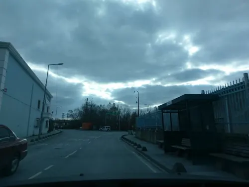
- Street-level photo, ozkanilyasaksu, CC BY-SA 4.0
Page built November 8, 2026. Spotted a mistake? Tell us or suggest a place.