

Why visit Güzelyalı
Townapedia lists 6 museums and landmarks, 8 places to eat and 4 places to stay in and around town.
Highlights include Dardanos and HMS Irresistible.
Weather in Güzelyalı
Forecast from MET Norway (CC BY 4.0). Full forecast
About Güzelyalı
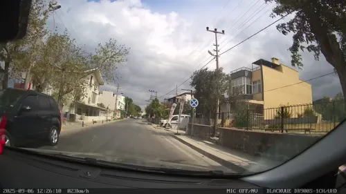
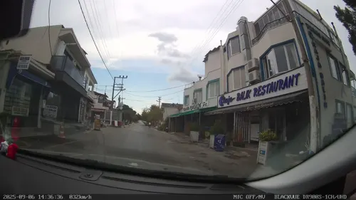
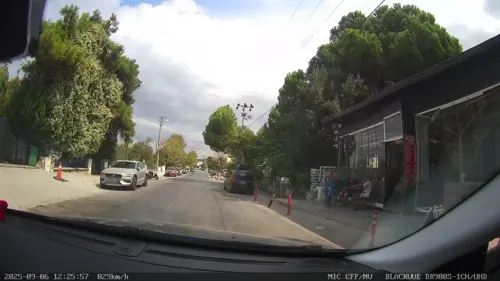
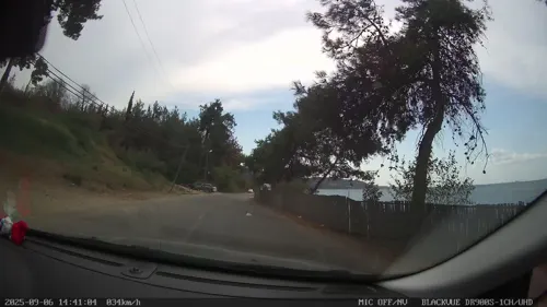
Güzelyalı is a seaside village in the Çanakkale District of Çanakkale Province of western Turkey. Its population is 1,641 (2021). It is 15 km from the Çanakkale city centre. Güzelyalı is surrounded by pine woods in the east and by the Çanakkale Strait (the Dardanelles) in the west.
From the Wikipedia article Güzelyalı, Çanakkale (this version), under CC BY-SA 4.0.
Museums and landmarks6

HMS Irresistible
Monument and historic site · 2.4 km
1898 Formidable-class pre-dreadnought battleship
HMS Ocean
Monument and historic site · 4.6 km
1898 Canopus-class pre-dreadnought battleship
Ophryneion
Monument and historic site · 2.2 km
Ancient city of Troas, in modern-day Turkey
Rhoiteion
Monument and historic site · 5.1 km
Ancient Greek city in Anatolia
Restaurants and cafes8

Doğan Pastanesi Güzelyali
Restaurant · Breakfast, Cake, Coffee Shop, Ice Cream · 0.8 km
Where to stay4



Map of Güzelyalı
18 places. The map loads OpenStreetMap tiles when you open it.
Getting there and nearby towns
Çanakkale Airport (CKZ) is the nearest airport with scheduled flights listed in OpenStreetMap, 13 km away.
- Çanakkale 14 km northeast, about 14 min by car
- Eceabat 16 km north, about 16 min by car
- Ezine 28 km south, about 28 min by car
- Bozcaada 33 km southwest, about 33 min by car
- Gökçeada 41 km northwest, about 41 min by car
- Lapseki 44 km northeast, about 44 min by car
- Gelibolu 49 km northeast, about 49 min by car
- Altınoluk 61 km southeast, about 1 h by car
- Edremit 76 km southeast, about 1 h 15 min by car
- Biga 79 km east, about 1 h 15 min by car
Drive times are estimates from straight-line distance, not routes.
Local news
Headlines from INDB.
Reviews, tips and questions
Loading what members have shared...
Sources and licences
- GeoNames (CC BY 4.0): population, coordinates, regions and time zone
- Mapillary (see each image): photos
- OpenStreetMap contributors (ODbL 1.0): places, airports, map data
- Wikidata (CC0 1.0): elevation, founding date, time zone, website, landmarks and historic places
- Wikimedia Commons (see each image): photos
- Wikipedia (CC BY-SA 4.0): overview and history text
Photo credits
- HMS Ocean (Canopus-class battleship), photographer not identified, Public domain
- Street-level photo, Zafer, CC BY-SA 4.0
- Street-level photo, Zafer, CC BY-SA 4.0
- Street-level photo, Zafer, CC BY-SA 4.0
- Street-level photo, Zafer, CC BY-SA 4.0
- Street-level photo, Zafer, CC BY-SA 4.0
- Street-level photo, Zafer, CC BY-SA 4.0
- Street-level photo, Zafer, CC BY-SA 4.0
Page built November 8, 2026. Spotted a mistake? Tell us or suggest a place.