

Weather in Mesudiye
Forecast from MET Norway (CC BY 4.0). Full forecast
About Mesudiye
Mesudiye, formerly Hamidiye, (in Greek Μεσουδιέ and Μιλάς) is a municipality and district of Ordu Province, Turkey. Its area is 1,046 km2, and its population is 13,221 (2022). The town lies at an elevation of 1,100 m (3,609 ft).
From the Wikipedia article Mesudiye, Ordu (this version), under CC BY-SA 4.0.
Shopping1

Gas and EV charging2


Healthcare3

History
Mesudiye has been inhabited since the Iron Age era and has numerous remains from the time of the Hittites and there are a number of rock tombs from early antiquity in the area. When it was brought into the Ottoman Empire by Mehmed II in 1455 the area was a collection of mountain villages centred on the slightly larger village and market place known then as Milas. This was renamed Hamidiye in 1876 and then Mesudiye in 1908. According to Bryer and Winfield, the later Greek name for Mesudiye (or Hamidiye) was Meletios, Melet, or Milas (Grk: Μελέτιος, Μελέτ, or Μήλας), probably derived from the Melanthios River (Melet Irmak) which runs through it and down to Ordu.
From the History section of Mesudiye, Ordu on Wikipedia, under CC BY-SA 4.0.
Map of Mesudiye
6 places. The map loads OpenStreetMap tiles when you open it.
Getting there and nearby towns
Ordu Giresun Havalimanı (OGU) is the nearest airport with scheduled flights listed in OpenStreetMap, 63 km away.
- Suşehri 42 km southeast, about 42 min by car
- Şebin Karahisar 58 km east, about 58 min by car
- Ordu 59 km north, about 59 min by car
- Zara 62 km south, about 1 h by car
- Bulancak 66 km northeast, about 1 h by car
- Fatsa 68 km north, about 1 h 15 min by car
- Perşembe 68 km north, about 1 h 15 min by car
- Niksar 71 km west, about 1 h 15 min by car
- Giresun 73 km northeast, about 1 h 15 min by car
- Ünye 87 km northwest, about 1 h 30 min by car
Drive times are estimates from straight-line distance, not routes.
Local news
Headlines from INDB.
Reviews, tips and questions
Loading what members have shared...
Sources and licences
- GeoNames (CC BY 4.0): population, coordinates, regions and time zone
- Mapillary (see each image): photos
- OpenStreetMap contributors (ODbL 1.0): places, airports, map data
- Wikidata (CC0 1.0): elevation, founding date, time zone, website
- Wikimedia Commons (see each image): photos
- Wikipedia (CC BY-SA 4.0): overview and history text
Photo credits
- Hacıemirbayrambey, Emiroğlu52, CC0
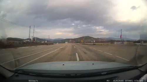
- Street-level photo, cbsordu, CC BY-SA 4.0
Page built November 8, 2026. Spotted a mistake? Tell us or suggest a place.