


Why visit Torul
Townapedia lists 2 museums and landmarks and 1 place to stay in and around town.
Weather in Torul
Forecast from MET Norway (CC BY 4.0). Full forecast
About Torul
Torul is a town in Gümüşhane Province in the Black Sea Region of Turkey. It is the seat of Torul District. Its population is 5,794 (2022). The town lies at an elevation of 1,020 m (3,346 ft).
From the Wikipedia article Torul (this version), under CC BY-SA 4.0.
Museums and landmarks2

Torul Castle Glass Terrace Touristic Facilities
Monument and historic site · 1.4 km
Where to stay1
Churches and places of worship1

Gas and EV charging1


Healthcare3
Map of Torul
8 places. The map loads OpenStreetMap tiles when you open it.
Getting there and nearby towns
Trabzon International Airport (TZX) is the nearest airport with scheduled flights listed in OpenStreetMap, 65 km away.
- Gümüşhane 19 km southeast, about 19 min by car
- Akçaabat 58 km northeast, about 58 min by car
- Görele 58 km northwest, about 58 min by car
- Eynesil 58 km north, about 58 min by car
- Trabzon 63 km northeast, about 1 h by car
- Tirebolu 64 km northwest, about 1 h by car
- Yomra 66 km northeast, about 1 h by car
- Şebin Karahisar 78 km west, about 1 h 15 min by car
- Giresun 86 km northwest, about 1 h 30 min by car
- Bayburt 86 km east, about 1 h 30 min by car
Drive times are estimates from straight-line distance, not routes.
Local news
Headlines from INDB.
Reviews, tips and questions
Loading what members have shared...
Sources and licences
- GeoNames (CC BY 4.0): population, coordinates, regions and time zone
- Mapillary (see each image): photos
- OpenStreetMap contributors (ODbL 1.0): places, airports, map data
- Wikidata (CC0 1.0): elevation, founding date, time zone, website
- Wikimedia Commons (see each image): photos
- Wikipedia (CC BY-SA 4.0): overview and history text
Photo credits
- Torul, 𐰇𐱅𐰚𐰤, CC BY-SA 4.0
- Torul Kalesi Cam Seyir Terası, Unobay, CC BY-SA 4.0
- Tuğrulbey, 29800 Torul-Gümüşhane, Turkey - panoramio, Ben Bender, CC BY-SA 3.0
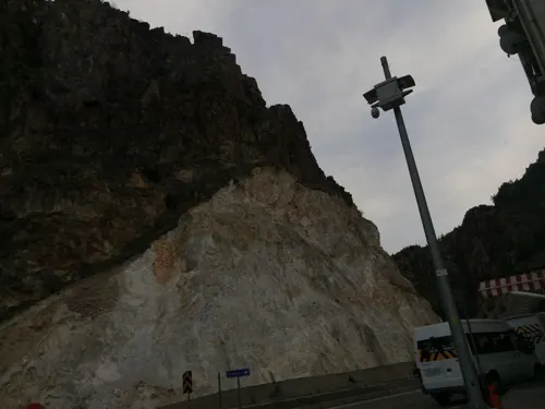
- Street-level photo, enestaha, CC BY-SA 4.0
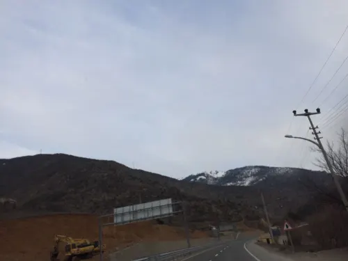
- Street-level photo, enestaha, CC BY-SA 4.0
Page built November 8, 2026. Spotted a mistake? Tell us or suggest a place.