


Why visit Lich
Townapedia lists 53 museums and landmarks, 26 parks and trails, 79 places to eat, 13 places to stay and 14 attractions in and around town.
Highlights include Wildpark Klosterwald, Kino Traumstern, Heimatmuseum Lich and Kloster Arnsburg.
Weather in Lich
Forecast from MET Norway (CC BY 4.0). Full forecast
About Lich
Lich (German pronunciation: [lɪç] ) is a town in the district of Gießen, in Hesse, Germany. It is situated 12 km southeast of Gießen. Lich has a population of around 13,000.
From the Wikipedia article Lich, Hesse (this version), under CC BY-SA 4.0.
Travel tips from other travellers: Lich on Wikivoyage (CC BY-SA 4.0).
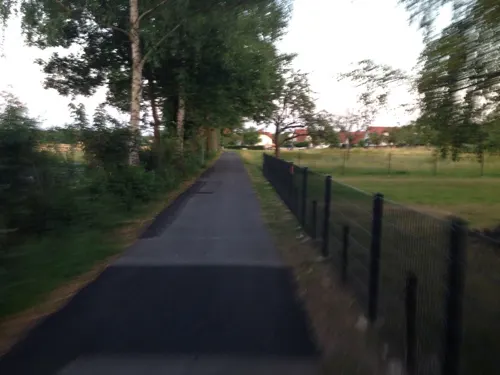
Things to do14





2 more on the map.
Museums and landmarks53


Grüninger Warte
Monument and historic site · 6.9 km
Zum Aussichtsturm umgebauter Windmühlenstumpf
Arnsburg Abbey
Monument and historic site · 3.4 km
Historic structure in Hesse, Germany

Wetterau-Limes
Monument and historic site · 8.6 km
National heritage site


41 more on the map.
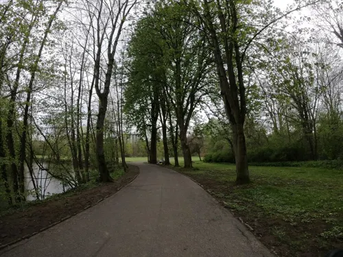
Parks, trails and playgrounds26




14 more on the map.
Restaurants and cafes79

Dorfladen Eberstadt
Cafe · 6.2 km
Den Dorfladen gibt es seit 2013. Wir haben ihn engagierten Menschen und glücklichen Umständen zu verdanken. Wir arbeiten alle...
19 Butzbacher Straße, Lich
Mo,Th,Sa 09:00-12:00; Fr,Su 14:00-18:00
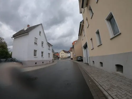
La Grotta Da Franco
Restaurant · Italian, Pizza · 5.0 km
1 Steinbacher Straße, Pohlheim
Tu-Sa 17:30-23:00; Su 11:30-14:00,17:30-22:00; Mo off
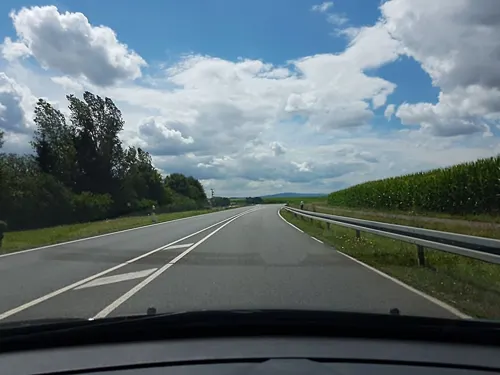
Taverna Saloniki
Restaurant · Greek · 7.0 km
27 Am Sportheim, Pohlheim
Tu-Sa 16:00-01:00; Su,PH 10:00-15:00,17:00-22:00; Mo off
Hotel Restaurant Pfaffenhof
Restaurant · 6.2 km
25 Butzbacher Straße, Lich
Mo-Th 18:00-22:00; Fr,Sa 11:30-14:00,18:00-22:00; Su 11:30-14:00
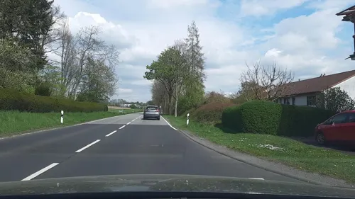
Hong Vo
Restaurant · Chinese · 6.6 km
2 Laubacher Straße, Lich
Tu-Sa 11:30-14:30; Tu-Sa 17:30-23:00; Su 11:30-23:00
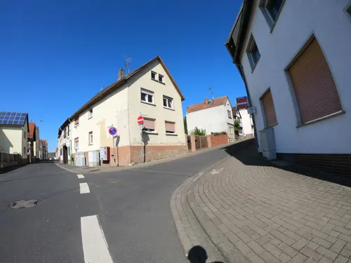

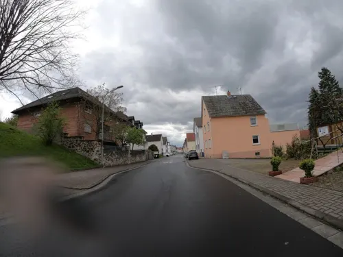
Zum Ötzi
Restaurant · Italian, Pizza · 4.7 km
48a Licher Straße, Pohlheim
Tu-Sa 17:00-23:00, Su 11:30-22:00
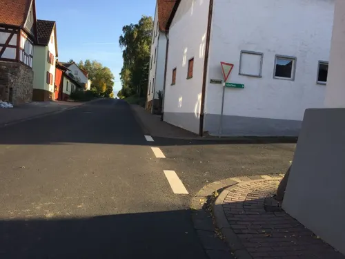


Mellerhannese-Schoppekaffe
Restaurant · 6.5 km
15 Römerstraße, Münzenberg
Th 19:00-23:00, Fr 19:00-24:00, Sa 11:00-24:00, Su 11:00-23:00
67 more on the map.
History
The region is known to have been settled for more than 100,000 years. Tools found in several places in and around Lich were dated to the Neanderthal period, others to the Aurignacian culture, Linear Pottery culture, the Bronze Age, the Hallstatt culture and the La Tène culture.
When building the Upper Germanic limes during the reign of the Roman Emperor Domitian the Romans built the Castrum Arnsburg, located near what is now Arnsburg Abbey. It is the most northeastern known full-sized castrum along the limes.
The first known mentioning of Lich dates back to 790 in the Lorsch codex. In 1300 the town was awarded market rights by Emperor Albert I of Germany. Originally belonging to the County of Hagen-Münzenberg it became the property of the Counts of Falkenstein following the marriage of Isengard of Münzenberg to Philip IV of Bolanden-Falkenstein. As an inheritance Lich was given to the House of Solms in the middle of the 14th century. The House of Solms split into several branches over the centuries – one of them the branch Solms-Hohensolms-Lich, which retains its seat in Lich.
There was no significant destruction in Lich during several wars from Thirty Years' War up to World War II. In 1993, the town hosted the 33rd Hessentag state festival.
From the History section of Lich, Hesse on Wikipedia, under CC BY-SA 4.0.
Where to stay13
Churches and places of worship38
Evangelische Kirche
Church · Lutheran · 4.2 km
11 An der Kirche, Fernwald
Shopping22
Gas and EV charging7
Schools, colleges and libraries15
Healthcare10
Map of Lich
250 places. The map loads OpenStreetMap tiles when you open it.
Getting there and nearby towns
Siegerlandflughafen (SGE) is the nearest airport with scheduled flights listed in OpenStreetMap, 56 km away.
- Reiskirchen 9 km north, about 9 min by car
- Lollar 16 km northwest, about 16 min by car
- Schotten 22 km east, about 22 min by car
- Rosbach vor der Höhe 26 km south, about 26 min by car
- Usingen 29 km southwest, about 29 min by car
- Neu-Anspach 32 km southwest, about 32 min by car
- Weilburg 39 km west, about 39 min by car
- Lauterbach 43 km east, about 43 min by car
- Frankfurt am Main 46 km south, about 46 min by car
- Offenbach 47 km south, about 47 min by car
Drive times are estimates from straight-line distance, not routes.
Local news
Headlines from INDB.
Reviews, tips and questions
Loading what members have shared...
Sources and licences
- GeoNames (CC BY 4.0): population, coordinates, regions and time zone
- Mapillary (see each image): photos
- OpenStreetMap contributors (ODbL 1.0): places, airports, map data
- Wikidata (CC0 1.0): elevation, founding date, time zone, website, landmarks and historic places
- Wikimedia Commons (see each image): photos
- Wikipedia (CC BY-SA 4.0): overview and history text
Photo credits
- Lich, Oberstadt, Christine Türpitz, CC BY 3.0
- Garbenteicher Straße 6 (Lich) 01, Cherubino, CC BY-SA 3.0
- Garbenteicher Straße 6 (Lich) 02, Cherubino, CC BY-SA 3.0
- Garbenteicher Straße 6 (Lich) 03, Cherubino, CC BY-SA 3.0
- Amtsgerichtsstraße 1 (Lich) 03, Cherubino, CC BY-SA 3.0
- Amtsgerichtsstraße 1 (Lich) 01, Cherubino, CC BY-SA 3.0
- Amtsgerichtsstraße 1 (Lich) 02, Cherubino, CC BY-SA 3.0
- Amtsgerichtsstraße 4 (Lich) 03, Cherubino, CC BY-SA 3.0
- Amtsgerichtsstraße 4 (Lich) 02, Cherubino, CC BY-SA 3.0
- Amtsgerichtsstraße 4 (Lich) 01, Cherubino, CC BY-SA 3.0
- Amtsgerichtsstraße 4 (Lich) 04, Cherubino, CC BY-SA 3.0
- Gießener Straße (Lich), Cherubino, CC BY-SA 3.0
- Gießener Straße 4 (Lich) 02, Cherubino, CC BY-SA 3.0
- Trafohäuschen Lich 02, Cherubino, CC BY-SA 3.0
- Trafohäuschen Lich 03, Cherubino, CC BY-SA 3.0
- Trafohäuschen Lich 04, Cherubino, CC BY-SA 3.0
- Otto Heuss (Lich) 02, Cherubino, CC BY-SA 3.0
- Kolnhäuser Straße 5-7 (Lich) 04, Cherubino, CC BY-SA 3.0
- Kolnhäuser Straße 5-7 (Lich) 03, Cherubino, CC BY-SA 3.0
- Kolnhäuser Straße 5-7 (Lich) 01, Cherubino, CC BY-SA 3.0
- Gießener Straße 1 (Lich) 03, Cherubino, CC BY-SA 3.0
- Licher Wochenblatt 01, Cherubino, CC BY-SA 3.0
- Kolnhäuser Straße 5-7 (Lich) 02, Cherubino, CC BY-SA 3.0
- Licher Wochenblatt 02, Cherubino, CC BY-SA 3.0
- Trafohäuschen Lich 01, Cherubino, CC BY-SA 3.0
- Kolnhäuser Straße 1 (Lich) 01, Cherubino, CC BY-SA 3.0
- Licher Wochenblatt 04, Cherubino, CC BY-SA 3.0
- Licher Wochenblatt 03, Cherubino, CC BY-SA 3.0
- Kolnhäuser Straße 1 (Lich) 03, Cherubino, CC BY-SA 3.0
- Kolnhäuser Straße 1 (Lich) 02, Cherubino, CC BY-SA 3.0
- Kolnhäuser Straße 1 (Lich) 04, Cherubino, CC BY-SA 3.0
- Gießener Straße 1 (Lich) 05, Cherubino, CC BY-SA 3.0
- Gießener Straße 1 (Lich) 01, Cherubino, CC BY-SA 3.0
- Am Wall 28 (Lich), Cherubino, CC BY-SA 3.0
- Gießener Straße 1 (Lich) 02, Cherubino, CC BY-SA 3.0
- Gießener Straße 1 (Lich) 04, Cherubino, CC BY-SA 3.0
- Am Wall 31 (Lich), Cherubino, CC BY-SA 3.0
- Am Wall 29 (Lich), Cherubino, CC BY-SA 3.0
- Am Wall 30 (Lich), Cherubino, CC BY-SA 3.0
- Stadtturm Lich 28, Cherubino, CC BY-SA 3.0
- Wetteraulimes Wp 5 9, Haselburg-müller, CC BY-SA 3.0
- Arnsburg Kirche, Presse03, CC BY-SA 3.0
- Burg Arnsburg Ruine, Presse03, CC BY 2.5
- Burg Grüningen-3, Jochen Zoth, CC BY-SA 3.0
- Burg Warnsberg, Hamburger6001, CC BY-SA 3.0
- Albach Kirche (1), Silke Koch, CC BY 3.0
- Kino Traumstern Oktober 2012, Stefan Schäfer, Lich, CC BY-SA 3.0
- Marienstiftskirche Lich 08, Cherubino, CC BY-SA 3.0
- Lich - Schloss, Sven Teschke , Büdingen, CC BY-SA 3.0 de
- Dorf Güll Kirche Südost (2), Wikiwal, CC BY-SA 3.0
- Steinbach Kirche Seitenansicht, Wikiwal, CC BY-SA 3.0
- Evangelische Kirche Garbenteich 03, Cherubino, CC BY-SA 3.0
- Evangelische Kirche Hausen (Pohlheim) 05, Cherubino, CC BY-SA 3.0
- Evangelische Kirche Muschenheim 11, Cherubino, CC BY-SA 3.0
- Evangelische Kirche Watzenborn-Steinberg 01, Cherubino, CC BY-SA 3.0
- Evangelische Pfarrkirche Trais-Münzenberg 32, Cherubino, CC BY-SA 3.0
- Stadtturm Lich 35, Cherubino, CC BY-SA 4.0
- Unterstadt 23, 25, 27 (Lich) 02, Cherubino, CC BY-SA 3.0
- Grüninger Warte 02, Cherubino, CC BY-SA 3.0
- Diebsturm (Grüningen) 07, Cherubino, CC BY-SA 3.0
- NSG Lindenberg bei Birklar 06, Cherubino, CC BY-SA 4.0
- Naturschutzgebiet Salzwiesen von Münzenberg 04, Cherubino, CC BY-SA 4.0
- Naturschutzgebiet Die Mengelshäuser Teiche 05, Cherubino, CC BY-SA 4.0
- Naturschutzgebiet Gemeindesee von Langsdorf 05, Cherubino, CC BY-SA 4.0
- Naturschutzgebiet Hoher Stein bei Fernwald 08, Cherubino, CC BY-SA 4.0
- NSG Seifenwiesen Luchsee 20240513 184306, Friedrich Schmidt-Fellingshausen, CC BY-SA 4.0
- Naturschutzgebiet Wirtswiesen bei Lich 02, Cherubino, CC BY-SA 4.0
- Kreuz (Grüningen, Pohlheim) 12, Cherubino, CC BY-SA 3.0
- Evangelische Kirche Langsdorf (Lich) von Südwest 01, Cherubino, CC BY-SA 3.0
- Evangelische Kirche (Ober-Bessingen) von Nordost 01, Cherubino, CC BY-SA 3.0
- Kümmelberg, Fernando Ferkelkraut, CC BY-SA 4.0
- Wildpark Klosterwald Alpaka 04, Cherubino, CC BY-SA 3.0
- Baumgruppe am Breuerberg (Lich) 14, Cherubino, CC BY-SA 4.0
- Heimatmuseum Lich, Stefan Flöper, CC BY-SA 4.0
- Street-level photo, grinninghamster, CC BY-SA 4.0
- Street-level photo, grinninghamster, CC BY-SA 4.0
- Street-level photo, troher15, CC BY-SA 4.0
- Street-level photo, parad0x, CC BY-SA 4.0
- Street-level photo, dominik354, CC BY-SA 4.0
- Street-level photo, grinninghamster, CC BY-SA 4.0
- Street-level photo, troher15, CC BY-SA 4.0
- Street-level photo, grinninghamster, CC BY-SA 4.0
- Street-level photo, grinninghamster, CC BY-SA 4.0
- Street-level photo, grinninghamster, CC BY-SA 4.0
- Street-level photo, troher15, CC BY-SA 4.0
- Street-level photo, troher15, CC BY-SA 4.0
- Street-level photo, grinninghamster, CC BY-SA 4.0
- Street-level photo, grinninghamster, CC BY-SA 4.0
- Street-level photo, grinninghamster, CC BY-SA 4.0
- Street-level photo, grinninghamster, CC BY-SA 4.0
- Street-level photo, troher15, CC BY-SA 4.0
- Street-level photo, troher15, CC BY-SA 4.0
- Street-level photo, xt11, CC BY-SA 4.0
- Street-level photo, lllooommm, CC BY-SA 4.0
- Street-level photo, grinninghamster, CC BY-SA 4.0
- Street-level photo, grinninghamster, CC BY-SA 4.0
- Street-level photo, troher15, CC BY-SA 4.0
- Street-level photo, grinninghamster, CC BY-SA 4.0
- Street-level photo, grinninghamster, CC BY-SA 4.0
- Street-level photo, troher15, CC BY-SA 4.0
- Street-level photo, troher15, CC BY-SA 4.0
- Street-level photo, grinninghamster, CC BY-SA 4.0


Page built November 8, 2026. Spotted a mistake? Tell us or suggest a place.