


Anröchte, Germany
Anröchte is a town of 10,847 people in North Rhine-Westphalia, Germany.
Why visit Anröchte
Townapedia lists 136 museums and landmarks, 27 parks and trails, 45 places to eat, 8 places to stay and 4 attractions in and around town.
Highlights include Hof Jaeger - Hofladen am Pöppelschetal, Hof Maas, Schäferkämper Watermill and Schloß Eggeringhausen.
Weather in Anröchte
Forecast from MET Norway (CC BY 4.0). Full forecast
About Anröchte
Anröchte (German pronunciation: [ˈanʁœçtə] ) is a municipality in the district of Soest, in North Rhine-Westphalia, Germany.
From the Wikipedia article Anröchte (this version), under CC BY-SA 4.0.
Things to do4

Hof Maas
Farm and orchard · 6.2 km
25 Hauptstraße, Rüthen
"nach telefonischer Vereinbarung"

Museums and landmarks136


Station Nr. 39 des Preußischen optischen Telegrafen
Monument and historic site · 6.5 km
Station Nr. 39 des preußischen optischen Telegrafen Berlin-Köln-Koblenz (1832 - 1849): „Lange Hecke“ Anröchte-Uelden

Artenschutzturm Völlinghausen
Monument and historic site · 4.0 km
Ehem. Trafoturmstation


124 more on the map.
Parks, trails and playgrounds27



Waldfreibad Anröchte
Sports field and stadium · 2.4 km
14 Südring, Anröchte
May-Sep: Mo-Fr 15:00-19:00; Tu-Fr 06:00-10:00; Sa,Su 10:00-19:00
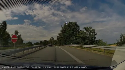

Olle Wiese und Bachsysteme zwischen Erwitte und Stirpe
Hiking and trails · 6.7 km

Steinbruch Landesherrn nordwestlich Berge
Hiking and trails · 2.2 km

15 more on the map.
Restaurants and cafes45

Gerling
Restaurant · Regional · 6.8 km
Biergarten, Spielfläche
32 Schäferkämper Weg, Erwitte
Mo-Su 14:00-24:00; Tu off
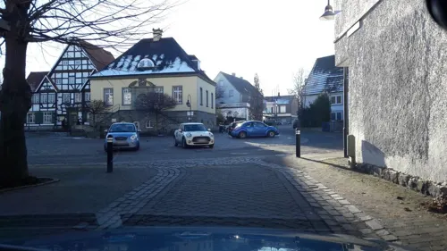
Marx Wirtschaft
Bar and pub · German · 5.2 km
11 Am Markt, Erwitte
We,Th 17:00-00:00; Fr,Sa 17:00-01:00; Su 10:00-13:00,17:00-00:00
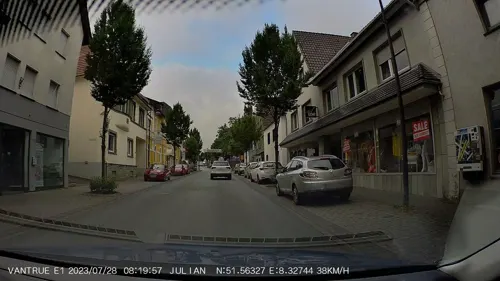
Pizzeria Milano
Restaurant · Pizza · 0.6 km
43 Hauptstraße, Anröchte
Mo,We,Fr,Sa 11:00-22:00, Th 00:00-22:00, Su 14:00-22:00
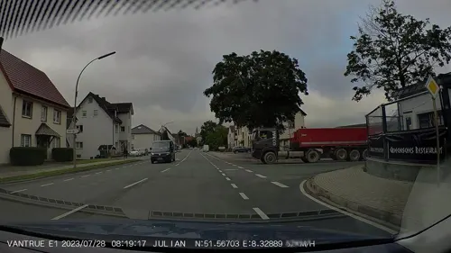
Restaurant Estia
Restaurant · Greek
11 Hauptstraße, Anröchte
We 17:00-02:00, Th-Sa 17:00-23:00, Su 12:00-22:00
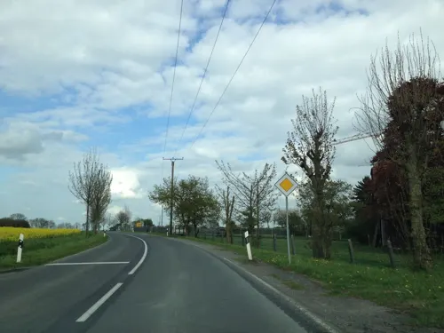
Uelder Bahnhof
Restaurant · German · 5.3 km
8 Effelner Straße, Anröchte
Tu-Fr 16:00-23:30, Sa 15:00-23:30, Su 11:30-22:00

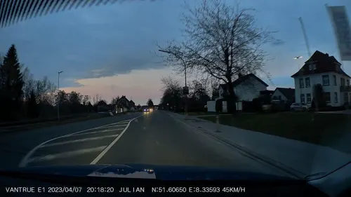
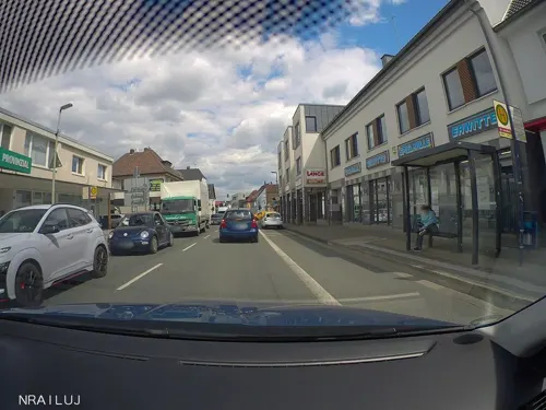
Bäckerei Redder
Bakery · 0.8 km
1 Jägerstraße, Anröchte
Mo-Fr 05:30-18:00; Sa 05:30-12:30; Su 06:00-10:30
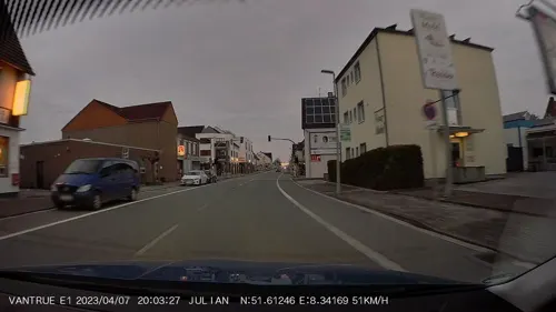


Bäckerei Redder Backstube und Café
Bakery · 1.4 km
20 Boschstraße, Anröchte
Mo 05:00-14:00, Tu-Th 05:00-14:30, Fr 05:00-14:00
33 more on the map.
Where to stay8
Churches and places of worship32
Kapelle St. Vinzenz
Church · Roman Catholic · 3.2 km
1 Vinzenzstraße, Anröchte
Kath. Pfarrkirche St. Alexander
Church · Roman Catholic · 3.9 km
27 Mittelstraße, Anröchte
St. Antonius Einsiedler
Church · Roman Catholic · 6.4 km
9 Antoniusstraße, Rüthen
St. Johannes Evangelist
Church · Roman Catholic · 6.9 km
38 Menzeler Straße, Rüthen
Shopping13
Gas and EV charging8
Schools, colleges and libraries9
Healthcare7
Map of Anröchte
250 places. The map loads OpenStreetMap tiles when you open it.
Getting there and nearby towns
Airport Paderborn/Lippstadt (PAD) is the nearest airport with scheduled flights listed in OpenStreetMap, 20 km away.
- Erwitte 5 km north, about 5 min by car
- Lippstadt 12 km north, about 12 min by car
- Rüthen 11 km southeast, about 11 min by car
- Bad Sassendorf 12 km west, about 12 min by car
- Warstein 14 km south, about 14 min by car
- Geseke 15 km northeast, about 15 min by car
- Soest 16 km west, about 16 min by car
- Büren 16 km east, about 16 min by car
- Salzkotten 22 km northeast, about 22 min by car
- Meschede 24 km south, about 24 min by car
Drive times are estimates from straight-line distance, not routes.
Local news
Headlines from INDB.
Reviews, tips and questions
Loading what members have shared...
Sources and licences
- GeoNames (CC BY 4.0): population, coordinates, regions and time zone
- Mapillary (see each image): photos
- OpenStreetMap contributors (ODbL 1.0): places, airports, map data
- Wikidata (CC0 1.0): elevation, founding date, time zone, website
- Wikimedia Commons (see each image): photos
- Wikipedia (CC BY-SA 4.0): overview and history text
Photo credits
- Kirche-Anröchte, Martin Lindner, CC BY 3.0
- Anröchte, Germany - panoramio, Ben Bender, CC BY-SA 3.0
- Anröchte Waldfreibad FFSN-1824, Petra Klawikowski, CC BY-SA 3.0
- Anröchte Logistikgebäude Edeka FFSN-1823, Petra Klawikowski, CC BY-SA 3.0
- Anröchte Logistikgebäude Edeka FFSN-1822, Petra Klawikowski, CC BY-SA 3.0
- Anröchte Logistikgebäude Edeka FFSN-1820, Petra Klawikowski, CC BY-SA 3.0
- Anröchte-Mellrich FFSN-773, Michael Kramer, CC BY-SA 3.0
- Farm near Anröchte FFSN-1816, Petra Klawikowski, CC BY-SA 3.0
- Anröchte-Mellrich Schloss Eggeringhausen FFSN-848, Michael Kramer, CC BY-SA 3.0
- Preussischer optischer Telegraf, Lencer, CC BY-SA 2.5
- Anröchte-Mellrich Schloss Eggeringhausen FFSN-857, Michael Kramer, CC BY-SA 3.0
- St. Laurentiuskirche (Erwitte), Riessdo, CC BY-SA 3.0
- St.-Alexander-Kirche, Mellrich, Dominik Schäfer, CC BY-SA 3.0 de
- St.-Georg-Kapelle, Westereiden, Dominik Schäfer, CC BY-SA 3.0 de
- Berge - St. Michael - 1, Ath, CC0
- Stpankratius-anroechte, Jan Hungershöfer, CC BY-SA 3.0
- St.-Georg-Kapelle, Altenmellrich, Dominik Schäfer, CC BY-SA 3.0 de
- St. Maria-Magdalena-Kirche, Effeln, Dominik Schäfer, CC BY-SA 3.0 de
- St.-Nikolaus-Kirche, Altengeseke-2, St.-Nikolaus-Kirche,_Altengeseke.jpg : Dominik Schäfer derivative work: Rabanus Flavus ( talk ), CC BY-SA 3.0 de
- Kapelle in Weikede, Hokusfokus, CC BY-SA 3.0
- Oestereiden - St. Antonius - 1, Ath, CC0
- Kapelle-StVinzenz-Klieve, Hgr2013, CC BY-SA 3.0
- Stolperstein Anröchte Marktstraße 23 Abraham Adolf Heinemann, Tomtom10, CC BY-SA 4.0
- 2015-04 ND Linde-bei-Erwitte 02, Yvonne Bentele, CC BY-SA 3.0
- Stirpe - NSG Olle Wiese - 01, Ath, CC0
- Robringhausen, Mellrich - NSG Sonnenbornbachtal - 01, Ath, CC0
- NSG SO-034 Steinbruch Straken südöstlich Erwitte 02, DonGatley, CC BY 3.0
- Stamps of Germany (Berlin) 1983, MiNr 693, Unknown author, Public domain
- Schaeferkaemper muehle, Elbwestfale at de.wikipedia, CC BY-SA 3.0
- Ganzmeilenstein Erwitte Zementwerk alte B 55, Manfred Schröter, Berga, CC BY-SA 4.0
- Street-level photo, nrailuj, CC BY-SA 4.0
- Street-level photo, nrailuj, CC BY-SA 4.0
- Street-level photo, nrailuj, CC BY-SA 4.0
- Street-level photo, Schmarvis, CC BY-SA 4.0
- Street-level photo, nrailuj, CC BY-SA 4.0
- Street-level photo, alucardo, CC BY-SA 4.0
- Street-level photo, nicolaus1977, CC BY-SA 4.0
- Street-level photo, nrailuj, CC BY-SA 4.0
- Street-level photo, nrailuj, CC BY-SA 4.0
- Street-level photo, baldur80, CC BY-SA 4.0
- Street-level photo, baldur80, CC BY-SA 4.0
- Street-level photo, nrailuj, CC BY-SA 4.0
- Street-level photo, nrailuj, CC BY-SA 4.0
- Street-level photo, nrailuj, CC BY-SA 4.0
- Street-level photo, nrailuj, CC BY-SA 4.0
- Street-level photo, nrailuj, CC BY-SA 4.0
- Street-level photo, nrailuj, CC BY-SA 4.0
- Street-level photo, nrailuj, CC BY-SA 4.0
- Street-level photo, nrailuj, CC BY-SA 4.0
- Street-level photo, nrailuj, CC BY-SA 4.0
- Street-level photo, nrailuj, CC BY-SA 4.0
- Street-level photo, nrailuj, CC BY-SA 4.0
- Street-level photo, nrailuj, CC BY-SA 4.0
- Street-level photo, nrailuj, CC BY-SA 4.0


Page built November 8, 2026. Spotted a mistake? Tell us or suggest a place.