


Bad Sassendorf, Germany
Bad Sassendorf is a town of 11,659 people in North Rhine-Westphalia, Germany.
Why visit Bad Sassendorf
Townapedia lists 137 museums and landmarks, 68 parks and trails, 152 places to eat, 23 places to stay and 4 attractions in and around town.
Highlights include Universum Soest, Freiherr-von-Wintzingerode-Park, Brunsteinkapelle and Burghofmuseum.
Weather in Bad Sassendorf
Forecast from MET Norway (CC BY 4.0). Full forecast
About Bad Sassendorf
Bad Sassendorf (German pronunciation: [baːt ˈzasn̩ˌdɔʁf]; Low German: Saßtrop) is a municipality in the district of Soest, in North Rhine-Westphalia, Germany.
From the Wikipedia article Bad Sassendorf (this version), under CC BY-SA 4.0.
Things to do4

Universum Soest
Cinema and theater · 4.1 km
44 Grandweg, Soest
"Täglich immer 20-30 Minuten vor der ersten Vorstellung"


Museums and landmarks137


Burghofmuseum
Museum · 4.2 km
22 Burghofstraße, Soest
Tu-Sa 10:00-12:00,15:00-17:00; Su 11:00-13:00

Haus Düsse
Monument and historic site · 5.9 km
Landwirtschaftskammer NRW Haus Düsse
2 Haus Düsse, Bad Sassendorf

Kleinbahnhof RLE
Monument and historic site · 4.4 km
Die Gaststätte und Café diente ursprünglich als Wartemöglichkeit für den ehemaligen Kleinbahnhof. Das nierenförmige Gebäude ist typisch...
2 Am Bahnhof, Soest

Haus zum Spiegel
Monument and historic site · 4.4 km
13 Jakobistraße, Soest

Kunstmuseum Wilhelm-Morgner-Haus
Museum · 4.3 km
1 Thomästraße, Soest
Tu,We,Fr 13:00-17:00; Th 13:00-19:00; Sa,Su 11:00-17:00



Galeriegräber von Schmerlecke
Monument and historic site · 5.0 km
Ungefähre Position der drei oberirdisch nicht sichtbaren megalithischen Galeriegräber.

Osthofentor
Monument and historic site · 3.7 km
72 Osthofenstraße, Soest

Villa Plange
Monument and historic site · 3.6 km
20 Sigefridwall, Soest
von Dolffscher Hof
Monument and historic site · 4.7 km
Der ehemalige Patrizierhof steht auf einem weitläufigen Wohnplatz. Die Anlage besteht aus dem Wohnhaus, einem Gartenhaus und einer...
29 Nöttenstraße, Soest
125 more on the map.
Parks, trails and playgrounds68

Aqua Fun Spaßbad
Sports field and stadium · 6.2 km
35 Ardeyweg, Soest
Mo-Th 06:00-21:00; Fr 06:00-22:00; Sa 09:00-22:00; Su 09:00-21:00


Ehemalige Klärteiche an der Zuckerfabrik Soest
Hiking and trails · 5.6 km




56 more on the map.
Restaurants and cafes152

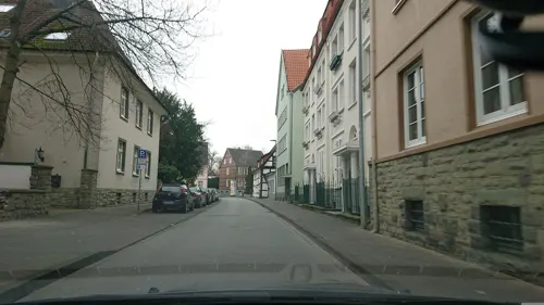
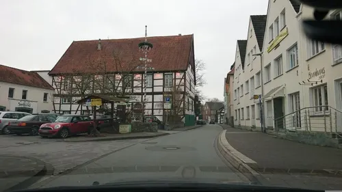
Brauhaus Zwiebel
Restaurant · German · 4.4 km
24 Ulricherstraße, Soest
Su-Th 11:30-21:00+; Fr,Sa 11:00-22:00+

Im Osterkamp
Restaurant · German · 4.2 km
10 Walburgerstraße, Soest
Mo-Th 11:00-15:00,17:00-23:00; Tu off; Fr 11:00-15:00,17:00-24:00;...

Restaurant FachWerk
Restaurant · Regional, International · 4.2 km
5 Am Seel, Soest
Tu-Fr 17:00-24:00; Sa,Su 12:00-14:00,17:00-24:00

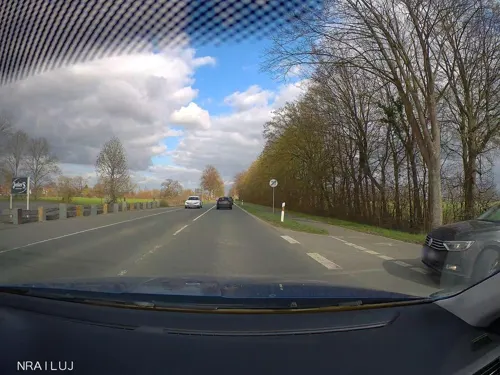
Junker's Restaurant
Restaurant · Italian, German · 1.2 km
15 Bundesstraße, Bad Sassendorf
Mo 17:00-22:00; We-Sa 17:00-22:00; Su 12:00-14:00,17:00-21:00
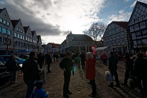
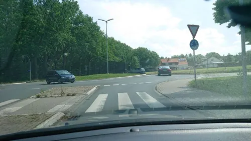
Ghebah
Restaurant · Indian · 5.0 km
1 Herzog-Adolf-Weg, Soest
Mo-Sa 11:00-14:00, 17:00-21:45, Su 11:00-21:00
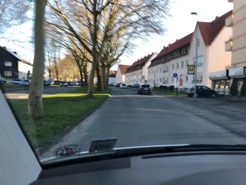


Harry
Restaurant · Regional · 5.5 km
71 Kölner Ring, Soest
Tu-Fr 11:00-14:30,17:00-21:00; Sa 12:00-14:30,17:00-21:00; PH,Su...
140 more on the map.
History
From the 8th century, the area around the Soester plain was under the Merovingian dynasty. The name “Sassendorf” indicates that it was a Saxon settlement. Mention was made of salt springs in the area appear in the 10th century, and were noted by the ambassador of the Caliphate of Cordoba to the court of Emperor Otto the Great in 973. Along with the surrounding area, the village was under the control of the Archbishopric of Cologne from at least the 12th century; however exploitation of the salt springs was the right of free peasant families in the area.
From the 19th century, the brine produced in the area was used for bathing and medicinal purposes, and the first therapy center or spa was opened in 1852. Commercial salt production faced declining yields, and was largely discontinued in 1934, and completely discontinued by 1952. The village was renamed from “Sassendorf” to Bad Sassendorf officially in 1906.
From February 15, 1944, to April 4–5, 1945, inmates of the Neuengamme concentration camp used as the Eisenbahnbaubrigade 11 repaired rail tracks at the railway station Soest and between Bad Sassendorf and Soest. They slept in freight train waggons on the track between Bad Sassendorf and Soest. After an air raid end-February 1945 the inmates slept in a nearby farm. At the cemetery Bad Sassendorf a memorial plaque is installed on the burying place of the dead.
From the History section of Bad Sassendorf on Wikipedia, under CC BY-SA 4.0.
Where to stay23
Churches and places of worship38
Nikolai-Kapelle
Church · Roman Catholic · 4.2 km
7 Thomästraße, Soest
Sankt Patrokli-Dom
Church · Roman Catholic · 4.2 km
11 Rathausstraße, Soest
Shopping53
Gas and EV charging19
Schools, colleges and libraries30
von-Vincke-Schule Bildungszentrum für Blinde und Sehbehinderte
School · 5.4 km
70 Hattroper Weg, Soest
Healthcare21
Map of Bad Sassendorf
250 places. The map loads OpenStreetMap tiles when you open it.
Getting there and nearby towns
Airport Paderborn/Lippstadt (PAD) is the nearest airport with scheduled flights listed in OpenStreetMap, 31 km away.
- Soest 4 km west, about 4 min by car
- Erwitte 12 km east, about 12 min by car
- Lippstadt 16 km northeast, about 16 min by car
- Werl 18 km west, about 18 min by car
- Warstein 20 km southeast, about 20 min by car
- Beckum 21 km northwest, about 21 min by car
- Rüthen 21 km southeast, about 21 min by car
- Wickede 23 km southwest, about 23 min by car
- Geseke 25 km east, about 25 min by car
- Hamm 26 km northwest, about 26 min by car
Drive times are estimates from straight-line distance, not routes.
Local news
Headlines from INDB.
Reviews, tips and questions
Loading what members have shared...
Sources and licences
- GeoNames (CC BY 4.0): population, coordinates, regions and time zone
- Mapillary (see each image): photos
- OpenStreetMap contributors (ODbL 1.0): places, airports, map data
- Wikidata (CC0 1.0): elevation, founding date, time zone, website, landmarks and historic places
- Wikimedia Commons (see each image): photos
- Wikipedia (CC BY-SA 4.0): overview and history text
Photo credits
- Bad Sassendorf Salzesel, Sven Teschke, CC BY-SA 3.0
- Bad Sassendorf – Evangelische Kirche Sst. Simon und Judas Thaddäus aus dem 15. Jahrhundert - panoramio - Edgar El, Edgar El, CC BY 3.0
- Bad Sassendorf-Salzwelten-1-Asio (cropped), Asio otus, CC BY-SA 3.0
- Bad Sassendorf-Salzwelten-1-Asio, Asio otus, CC BY-SA 3.0
- Erlebnismuseum Westfälische Salzwelten, An der Rosenau 2, 59505 Bad Sassendorf, Germany, KaiKemmann, CC BY-SA 4.0
- Bad Sassendorf-Salzwelten-2-Asio, Asio otus, CC BY-SA 3.0
- Bad Sassendorf Gabriele Henning, Arnoldius, CC BY-SA 4.0
- Salz aus Rheine, Bad Sassendorf, Salzkotten und Durant, Arnoldius, CC BY-SA 4.0
- Bad Sassendorf Olaf Bredensteiner, Arnoldius, CC BY-SA 4.0
- Bad Sassendorf Wegzeichen, Arnoldius, CC BY-SA 4.0
- Bad Sassendorf – Fußgängerbrücke - Rathausbrücke - panoramio, Edgar El, CC BY 3.0
- Bad Sassendorf – Weslarner Straße - panoramio, giggel, CC BY 3.0
- Bad Sassendorf – Hotel Gasthaus Bilke - panoramio, giggel, CC BY 3.0
- Bad Sassendorf – Kreisverkehr am Tagungs- und Kongresszentrum - panoramio, Edgar El, CC BY 3.0
- Bad Sassendorf – Eis- Café Venezia - panoramio, giggel, CC BY 3.0
- Bad Sassendorf-Rosenauquelle, Dat doris, CC BY 4.0
- Bad Sassendorf-Friedhof, Dat doris, CC BY 4.0
- Bad Sassendorf-Grabmal der Erbsälzerfamilie Bockum-Dolffs, Dat doris, CC BY 4.0
- Bad Sassendorf-Bücherschrank-1-Asio, Asio otus, CC BY-SA 3.0
- Bad Sassendorf – Evangelische Kirche Sst. Simon und Judas Thaddäus aus dem 15. Jahrhundert - panoramio, giggel, CC BY 3.0
- Bad Sassendorf – Viola x cornuta - Hornveilchen - panoramio, giggel, CC BY 3.0
- Bad Sassendorf Ev.Kirche Aussenansicht fd, Friedhelm Dröge, CC BY-SA 3.0
- Bad Sassendorf – Mehrgenerationenhaus – Ev. Gemeindezentrum - panoramio, Edgar El, CC BY 3.0
- Bad Sassendorf – Evangelische Kirche Sst. Simon und Judas Thaddäus aus dem 15. Jahrhundert - Innenaufnahme - panoramio, giggel, CC BY 3.0
- Alt-St.Thomae Mai 2008 6, Benutzer Stephan Hense, CC BY-SA 3.0
- Archigymnasium Soest, Sebastian Kirsch, Segroove, CC BY-SA 3.0
- Brunsteinkapelle., Kühlungsborn, CC BY-SA 3.0
- BurghofMuseumSoest Mai 2008 1, Stephan Hense, CC BY-SA 3.0
- Soest-090816-9960-Kirche, Mbdortmund, GFDL 1.2
- 20140601 131813 St. Maria zur Wiese, Soest (DSC02285), Günter Seggebäing, Coesfeld, CC BY-SA 3.0
- Bad Sassendorf Sst. Simon und Judas Thaddäus außen, Sven Teschke, CC BY-SA 2.0 de
- Franzkapellesoest gesamtansicht, Juchhoff, CC0
- Soest Hansa-Realschule FFSN-1652, Petra Klawikowski, CC BY-SA 3.0
- Soest Aldegrever-Gymnasium FFSN-1549, Petra Klawikowski, CC BY-SA 3.0
- Kleinbahnhof, K.bierkaemper, CC BY-SA 3.0
- Museum Wilhelm Morgner mit dem Raum Schroth hell geschnitten©Gero Sliwa KLEIN, Fotograf Gero Sliwa, © Stiftung Konzeptuelle Kunst, CC BY-SA 3.0 de
- Pilgrimhaus, K.bierkaemper, CC BY-SA 3.0
- Nikolaikapelle Soest, outer view, K.bierkaemper, CC BY-SA 3.0
- Osthofentor, Parmigianino, CC BY-SA 3.0
- Paulikirche soest, Schonekind, Public domain
- Von-Vincke-Schule, 1, Soest, Landkreis Soest, GeorgDerReisende, CC BY-SA 4.0
- St. Pantaleon zu Lohne, View from the South, Stephan Hense, CC BY-SA 4.0
- A 207 Bruno Paul Villa Plange (34), Stephan Hense, CC BY-SA 4.0
- Soest-Severinstr10-1-Bubo, Bubo, CC BY-SA 3.0
- Lohe - NSG Woeste - 03, Ath, CC0
- BS-Ostinghausen - NSG Woeste 05, Dat doris, CC BY 4.0
- Bruno Paul Villa Sternberg Mai 2008 1, Stephan Hense, CC BY-SA 3.0
- NSG Ahse nördlich Lohne, Falkmart, CC BY-SA 4.0
- Oestinghausen - NSG Ahseniederung Oestinghausen - 01, Ath, CC0
- Soest - NSG Ehemalige Klärteiche an der Zuckerfabrik Soest - 01, Ath, CC0
- SO-80 an der Rosenau, Friedhelm Dröge, CC BY-SA 3.0
- Naturschutzgebiet Steinbruch Lohner Klei 4, Falkmart, CC BY-SA 4.0
- Soest st petri, Unknown author, CC BY-SA 3.0
- Soest st patrokli dom vorderseite, Unknown author, CC BY-SA 3.0
- Duesse Eingangsschild, Blonder1984, CC BY-SA 3.0
- St. Johannes der Täufer, Neuengeseke, Dominik Schäfer, CC BY-SA 3.0 de
- Haus zum Spiegel, 1, Soest, Landkreis Soest, GeorgDerReisende, CC BY-SA 4.0
- Bad Sassendorf-Erlebnismuseum Westfälische Salzwelten, Dat doris, CC BY 4.0
- Soest Im Osterkamp, Arnoldius, CC BY-SA 3.0
- Street-level photo, analuisa, CC BY-SA 4.0
- Street-level photo, analuisa, CC BY-SA 4.0
- Street-level photo, nrailuj, CC BY-SA 4.0
- Street-level photo, txllxt, CC BY-SA 4.0
- Street-level photo, nrailuj, CC BY-SA 4.0
- Street-level photo, analuisa, CC BY-SA 4.0
- Street-level photo, analuisa, CC BY-SA 4.0
- Street-level photo, lord92, CC BY-SA 4.0
- Street-level photo, analuisa, CC BY-SA 4.0
- Street-level photo, nrailuj, CC BY-SA 4.0
- Street-level photo, saschahaberkorn, CC BY-SA 4.0
- Street-level photo, analuisa, CC BY-SA 4.0
- Street-level photo, nrailuj, CC BY-SA 4.0
- Street-level photo, hotteliene, CC BY-SA 4.0
- Street-level photo, analuisa, CC BY-SA 4.0
- Street-level photo, pharris0n, CC BY-SA 4.0
- Street-level photo, nrailuj, CC BY-SA 4.0
- Street-level photo, analuisa, CC BY-SA 4.0
- Street-level photo, nrailuj, CC BY-SA 4.0
- Street-level photo, nicolaus1977, CC BY-SA 4.0


Page built November 8, 2026. Spotted a mistake? Tell us or suggest a place.