


Warstein, Germany
Warstein is a town of 28,532 people in North Rhine-Westphalia, Germany.
Why visit Warstein
Townapedia lists 227 museums and landmarks, 46 parks and trails, 83 places to eat, 16 places to stay and 78 attractions in and around town.
Highlights include Gut Körtlinghausen, Lörmecke-Turm, Bilsteinhöhle and Ehem. Deutschordenkommende.
Weather in Warstein
Forecast from MET Norway (CC BY 4.0). Full forecast
About Warstein
Warstein (German pronunciation: [ˈvaːɐ̯ˌʃtaɪn] ) is a municipality with town status in the district of Soest, in North Rhine-Westphalia, Germany. It is located at the north end of Sauerland.
From the Wikipedia article Warstein (this version), under CC BY-SA 4.0.
Things to do78




66 more on the map.
Museums and landmarks227
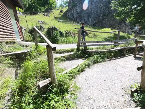
Bilsteinhöhle
Monument and historic site · 2.9 km
Apr-Oct 09:00-17:00; Nov-Mar 10:00-16:00; Dec 25 off

Ehem. Deutschordenkommende
Monument and historic site · 7.0 km
1 Ordensritterweg, Warstein


Station Nr. 39 des Preußischen optischen Telegrafen
Monument and historic site · 7.3 km
Station Nr. 39 des preußischen optischen Telegrafen Berlin-Köln-Koblenz (1832 - 1849): „Lange Hecke“ Anröchte-Uelden




Gedenkstein
Monument and historic site · 3.1 km
Gelände der Warsteiner Brauerei Haus Cramer KG

Pfarrhaus
Monument and historic site · 7.1 km
9 Stefanusstraße, Rüthen
215 more on the map.
Parks, trails and playgrounds46



34 more on the map.
Restaurants and cafes83

Haus Welschenbeck
Bar and pub · 5.4 km
30 Mülheimer Straße, Warstein
We,Th 11:00-18:00; Fr-Su 09:00-18:00
HenrichS
Cafe · Regional, Coffee Shop, German, Ice Cream, Breakfast, Brunch, Cake, Tea, Waffeln, Windbeutel, Fries, Salad · 8.0 km
1 Bibertal, Rüthen
Fr,Sa 14:30-21:00; PH,Su 12:00-18:00
Romantik Landhotel Knippschild
Restaurant · German · 5.3 km
1 Theodor-Ernst-Straße, Rüthen
Mo-Su,PH 11:30-13:30,17:30-21:00
Hotel Gasthof Hoppe
Restaurant · German · 3.8 km
62 Lanfer, Warstein
Tu-Sa 16:00-24:00; Su 12:15-14:15,17:00-24:00
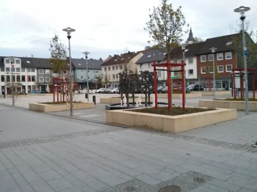
Pizzeria Mühlenstube
Restaurant · Italian · 4.7 km
10 Bahnhofstraße, Warstein
Mo,Tu,We,Fr,Sa,Su 10:00-14:00,17:00-23:00; Th off
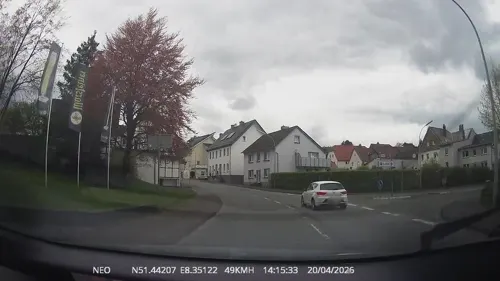
Pizzeria Trattoria Gargano
Restaurant · Italian
7 Domring, Warstein
Tu-Sa 11:00-14:30,17:00-23:00; Su 11:00-22:00; Mo off
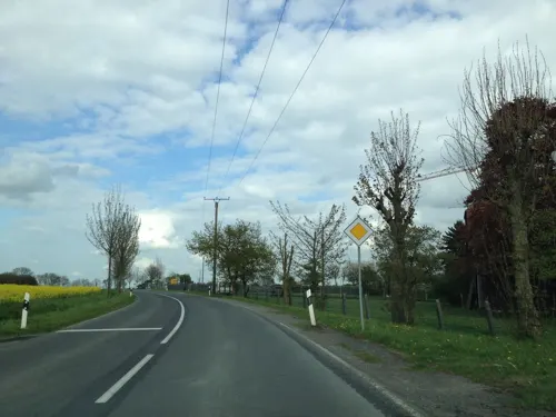
Uelder Bahnhof
Restaurant · German · 8.4 km
8 Effelner Straße, Anröchte
Tu-Fr 16:00-23:30, Sa 15:00-23:30, Su 11:30-22:00

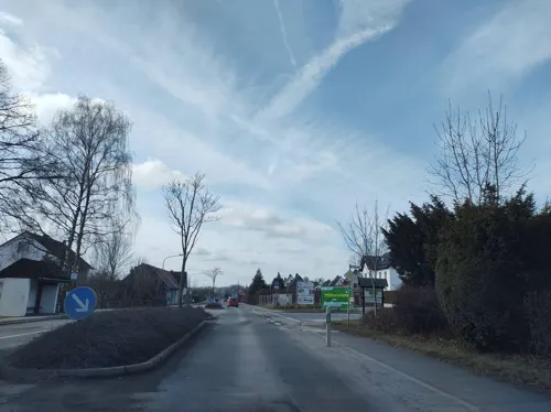
Bauernstübchen
Restaurant · 6.5 km
45 Erlenweg, Warstein
Tu-Fr 11:30-14:30, 17:00+; Sa 17:00+; Su 11:30+
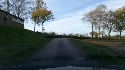


Café Buuck
Cafe · 7.8 km
1 Niedere Straße, Rüthen
Th, Sa 14:00-18:00; Fr 09:00-11:30, 14:00-22:00; Su 13:00-18:00

Gasthof Knickenberg
Restaurant · 7.8 km
14 Hachtorstraße, Rüthen
Mo-Tu, Fr 16:00-00:00; Sa-Su 10:00-13:00, 16:00-00:00
71 more on the map.
History
The evidence of human life was found in the Bilstein Cave between Warstein and Hirschberg.
Warstein was first mentioned officially in the year 1072. Historians once thought Warstein was organized as an official town in 1276, but its exact charter date is unclear. Likely, it was founded between 1276 and 1296 by the Archbishop of Cologne, Siegfried von Westerburg.
In the Middle Ages, Warstein was part of the Hanseatic League, a trade association for guilds, a very important international trading association at that time.
A fire in 1802 destroyed a significant portion of the town. After the 1802 fire the town centre was moved to the Wester brook. In 1844, the Amt Warstein was founded.
In 1975, Warstein and the other eight independent villages merged to form the new borough of Warstein.
From the History section of Warstein on Wikipedia, under CC BY-SA 4.0.
Where to stay16
Churches and places of worship46
Pfarrkirche St. Margaretha
Church · Roman Catholic · 7.1 km
2 Pater-Nikodemus-Straße, Warstein
St. Gervasius und St. Protasius
Church · Catholic · 7.1 km
11 Stefanusstraße, Rüthen
St. Johannes Enthauptung
Church · Roman Catholic · 2.4 km
2 Kallenhardter Straße, Warstein
Shopping21
Gas and EV charging14
Schools, colleges and libraries16
Healthcare9
LWL-Klinik Warstein für Psychiatrie, Psychotherapie und Psychosomatik
Clinic and pharmacy · 1.6 km
Map of Warstein
250 places. The map loads OpenStreetMap tiles when you open it.
Getting there and nearby towns
Airport Paderborn/Lippstadt (PAD) is the nearest airport with scheduled flights listed in OpenStreetMap, 26 km away.
- Bad Wünnenberg 26 km east, about 26 min by car
- Winterberg 31 km southeast, about 31 min by car
- Werl 32 km west, about 32 min by car
- Wickede 34 km west, about 34 min by car
- Korbach 41 km southeast, about 41 min by car
- Paderborn 41 km northeast, about 41 min by car
- Hamm 45 km northwest, about 45 min by car
- Werdohl 45 km southwest, about 45 min by car
- Bad Arolsen 47 km east, about 47 min by car
- Dortmund 62 km west, about 1 h by car
Drive times are estimates from straight-line distance, not routes.
Local news
Headlines from INDB.
Reviews, tips and questions
Loading what members have shared...
Sources and licences
- GeoNames (CC BY 4.0): population, coordinates, regions and time zone
- Mapillary (see each image): photos
- OpenStreetMap contributors (ODbL 1.0): places, airports, map data
- Wikidata (CC0 1.0): elevation, founding date, time zone, website
- Wikimedia Commons (see each image): photos
- Wikipedia (CC BY-SA 4.0): overview and history text
Photo credits
- Warstein vom Piusberg, Th. Zimmermann ( THWZ ), CC BY-SA 3.0 de
- Alte Kirche Warstein, Deutschland, bei Nacht - 20090105, THWZ (Thomas Zimmermann) ., CC BY-SA 3.0
- Kesterweg, 1, Warstein, Landkreis Soest, GeorgDerReisende, CC BY-SA 4.0
- Dieplohstraße, 1, Warstein, Landkreis Soest, GeorgDerReisende, CC BY-SA 4.0
- Warstein-Heiligenhäuschen Kohlmarkt 01, Dat doris, CC BY 4.0
- Warstein-Heiligenhäuschen Kohlmarkt 03, Dat doris, CC BY 4.0
- Warstein-Heiligenhäuschen Kohlmarkt 02, Dat doris, CC BY 4.0
- Warstein-BD Löschwasservorratsbehälter 02, Dat doris, CC BY 4.0
- Warstein-BD Löschwasservorratsbehälter 01, Dat doris, CC BY 4.0
- Warstein-Rüthers Kreuz 01, Dat doris, CC BY 4.0
- Warstein-Rüthers Kreuz 02, Dat doris, CC BY 4.0
- Hochstraße 24, 4, Warstein, Landkreis Soest, GeorgDerReisende, CC BY-SA 4.0
- Hochstraße 15, 1, Warstein, Landkreis Soest, GeorgDerReisende, CC BY-SA 4.0
- Hochstraße, 1, Warstein, Landkreis Soest, GeorgDerReisende, CC BY-SA 4.0
- Warstein, Alte Kirche St. Pankratius 01, Mattana, CC BY-SA 3.0
- Warstein, Alte Kirche St. Pankratius 02, Mattana, CC BY-SA 3.0
- Fachwerkhaus in Warstein 2, Th. Zimmermann ( THWZ ), CC BY-SA 3.0
- Bilsteinstraße, 1, Warstein, Landkreis Soest, GeorgDerReisende, CC BY-SA 4.0
- St. Pankratius und Sebastian Warstein, H.Helmlechner, CC BY-SA 4.0
- Bilsteinstraße 17, 1, Warstein, Landkreis Soest, GeorgDerReisende, CC BY-SA 4.0
- St. Petrus (Warstein), Thomas Zimermann ( THWZ ) (cropped by Rabanus Flavus ), CC BY-SA 3.0
- Auf'm Bruch 13, 2, Warstein, Landkreis Soest, GeorgDerReisende, CC BY-SA 4.0
- Auf'm Bruch 13, 1, Warstein, Landkreis Soest, GeorgDerReisende, CC BY-SA 4.0
- St. Pankratius Warstein 04, H.Helmlechner, CC BY-SA 4.0
- Warstein Ehrenmal, Dat doris, CC BY 4.0
- Pankratius Warstein1, Thomas Zimmermann ( THWZ, CC BY 3.0
- Altes Rathaus in Rüthen 2012, Stefan Didam - Schmallenberg, CC BY-SA 3.0
- Preussischer optischer Telegraf, Lencer, CC BY-SA 2.5
- Warstein Deutschordenskommende Mülheim FFSN-674, Michael Kramer, CC BY-SA 3.0
- Allagen Haus Dassel, Optimist4343, CC BY-SA 3.0
- Hachtor in Rüthen, Stefan Didam - Schmallenberg, CC BY-SA 3.0
- Lörmecke-Turm, Jörg Braukmann, CC BY-SA 4.0
- St.-Clemens-Kirche, Kallenhardt-02, Dominik Schäfer, CC BY-SA 3.0 de
- St.-Johannes-Baptist-Kirche, Rüthen, Dominik Schäfer, CC BY-SA 3.0 de
- Haus Welschenbeck01, THWZ, CC BY-SA 3.0
- Hexenturm Rüthen, Xqwtzs, CC BY 3.0
- Warstein-090711-8905, Mbdortmund, GFDL 1.2
- Suttrop - LWL-Klinik Warstein - Haus 01, Ath, CC0
- Hirschberg, kerk1 foto2 2010-08-09 13.51, Michielverbeek, CC BY-SA 3.0
- St.-Gervasius und St.-Protasius-Kirche, Altenrüthen-2, St.-Gervasius_und_St.-Protasius-Kirche,_Altenrüthen.jpg : Dominik Schäfer derivative work: Rabanus Flavus ( talk ), CC BY-SA 3.0 de
- Sichtigvor Pfarrkirche St. Margaretha, Magnus Gertkemper, CC BY-SA 2.0 de
- Rüthen - St. Nikolaus - 1, Ath, CC0
- St. Pankratius-Warstein, Martin Lindner, CC BY 3.0
- HeiligKreuzKirche, Arne Hückelheim, CC BY-SA 3.0
- Naturschutzgebiet Eidmecketalsystem 1, Martin Lindner, CC BY-SA 4.0
- Suttrop, St Johannes Enthauptung 02, Mattana, CC BY-SA 3.0
- Friedrich-Spee-Gymnasium Rüthen, Arcantor76, CC BY-SA 4.0
- Sichtigvor-Markuskapelle-Gnu1742, User:Bubo bubo and User:Gnu1742, CC BY-SA 3.0
- Naturschutzgebiet Piusberg 5, Falkmart, CC BY-SA 4.0
- Warstein - NSG Drewer Steinbrüche - 01, Ath, CC0
- StuetingsMuehle 1, THWZ, CC BY 3.0
- Altenrüthen - Pfarrhaus - 2, Ath, CC0
- Street-level photo, chuck, CC BY-SA 4.0
- Street-level photo, chuck, CC BY-SA 4.0
- Street-level photo, baldur80, CC BY-SA 4.0
- Street-level photo, TechniPorter, CC BY-SA 4.0
- Street-level photo, baldur80, CC BY-SA 4.0
- Street-level photo, nicolaus1977, CC BY-SA 4.0
- Street-level photo, nicolaus1977, CC BY-SA 4.0
- Street-level photo, thetornado76, CC BY-SA 4.0
- Street-level photo, thetornado76, CC BY-SA 4.0
- Street-level photo, TechniPorter, CC BY-SA 4.0
- Street-level photo, nrailuj, CC BY-SA 4.0
- Street-level photo, Lowiekse, CC BY-SA 4.0
- Street-level photo, Lowiekse, CC BY-SA 4.0
- Street-level photo, Schmarvis, CC BY-SA 4.0
- Street-level photo, nrailuj, CC BY-SA 4.0
- Street-level photo, osm_westertal, CC BY-SA 4.0
- Street-level photo, osm_westertal, CC BY-SA 4.0


Page built November 8, 2026. Spotted a mistake? Tell us or suggest a place.