


Bad Driburg, Germany
Bad Driburg is a town of 19,553 people in North Rhine-Westphalia, Germany.
Why visit Bad Driburg
Townapedia lists 159 museums and landmarks, 41 parks and trails, 82 places to eat, 22 places to stay and 94 attractions in and around town.
Highlights include Altenbekener Viadukt, Bauer Peine, Station Nr. 32 des Preußischen optischen Telegrafen and Burg Dringenberg.
Weather in Bad Driburg
Forecast from MET Norway (CC BY 4.0). Full forecast
About Bad Driburg
Bad Driburg (German: [baːt ˈdʁiːˌbʊʁk] ) is a town and spa in Höxter district in North Rhine-Westphalia, Germany, situated on the river Aa and the Altenbeken–Kreiensen railway.
From the Wikipedia article Bad Driburg (this version), under CC BY-SA 4.0.
Things to do94

Altenbekener Viadukt
Bridge · 7.2 km
„Altenbekener Viadukt“: Historische steinerne Eisenbahnbrücke, auch Bekeviadukt genannt: 482 m lang, etwa 33 m hoch, mit 24 Bögen,...

Bauer Peine
Farm and orchard
128 Lange Straße, Bad Driburg
Tu-We 09:00-13:00; Th-Fr 09:00-18:00; Sa 09:00-15:00
Raiffeisen Westfalen Mitte eG Geschäftsstelle Buke
Farm and orchard · 5.1 km
2 Industriestraße, Altenbeken
Mo-Fr 09:00-18:00; Sa 08:30-14:00
Altenbeken Viaduct
Bridge · 7.3 km
Railway viaduct near Altenbeken, Germany


Kohlberg
Scenic view · 2.5 km
Der Kohlberg ist ein langgestreckter Berg von Nord nach Süd mit eiunem großen Plateau über 300m. Mehrere Stellen sind über 310m hoch. ...
Biohof Bannenberg
Farm and orchard · 5.1 km
Fr 16:00-18:00; Sa 10:00-12:00

82 more on the map.
Museums and landmarks159

Station Nr. 32 des Preußischen optischen Telegrafen
Monument and historic site · 7.3 km
Station Nr. 32 des preußischen optischen Telegrafen Berlin-Köln-Koblenz (1832 - 1849): „Auf der Findstelle“ Nieheim-Oeynhausen

Burg Dringenberg
Monument and historic site · 7.2 km
33 Burgstraße, Bad Driburg
We 14:00-17:00; Sa 14:00-17:00; Su 10:00-12:00, 14:00-17:30

Die Vereinigten Museen
Museum · 6.5 km
2 Stiftsstraße, Bad Driburg
Apr-Oct Sa 14:00+; "nach Vereinbarung"


Station Nr. 33 des Preußischen optischen Telegrafen
Monument and historic site · 5.3 km
Station Nr. 33 des preußischen optischen Telegrafen Berlin-Köln-Koblenz (1832 - 1849): „Rehberg“ Altenbeken

Station Nr. 34 des Preußischen optischen Telegrafen
Monument and historic site · 8.0 km
Station Nr. 34 des preußischen optischen Telegrafen Berlin-Köln-Koblenz (1832 - 1849): „Brocksberg“ Altenbeken-Schwaney

Rommenhöller-Ehrenmal
Monument and historic site · 5.7 km
Carl Gustav Rommenhöller (1853-1931) hat man als Begründer der Kohlensäure-Industrie ein Jahr nach seinem Tod ein 'Denkmal' in Herste...


10-Zentner-Bombe
Monument and historic site · 7.2 km
Entschärfte amerik. 10-Zentner-Bombe aus dem 2. WK. Auf einem Eckstein des Viadukts angebracht. Gedenkt auch Alfons Bieling, in Lettland...
147 more on the map.
Parks, trails and playgrounds41


Egge-Nord
Hiking and trails · 7.4 km
Naturschutzgebiet nur auf befestigten Wegen oder markierten Wanderwegen betreten, Reiten nur auf befestigten Wegen, Hunde nur angeleint.

Hinnenburger Forst mit Emder Bachtal
Hiking and trails · 6.2 km
Naturschutzgebiet HX-082 (Bad Driburger Teil des Naturschutzgebiets "Hinnenburger Forst mit Emder Bachtal")

Hinnenburger Forst mit Emder Bachtal
Hiking and trails · 6.8 km
Naturschutzgebiet HX-086 (Brakeler Teil des Naturschutzgebiets "Hinnenburger Forst mit Emder Bachtal")

Hinnenburger Forst mit Emder Bachtal
Hiking and trails · 7.8 km
Naturschutzgebiet HX.072 (Nieheimer Teil des Naturschutzgebiets "Hinnenburger Forst mit Emder Bachtal")


29 more on the map.
Restaurants and cafes82
Da Gloria
Restaurant · Italian · 6.2 km
68 Adenauerstraße, Altenbeken
Mo, We-Fr 17:00-21:45; Sa 12:00-14:00, 17:00-21:45; Su...


Landgasthaus Ikenmeyer
Restaurant · German · 6.5 km
25 Paderborner Straße, Bad Driburg
Fr-Su 17:00-22:00
Museums-Deele Altenbeken
Cafe · 6.7 km
7a Alter Kirchweg, Altenbeken
Mo-Tu off; We-Th 14:00-21:00; Fr, Sa 14:00+; Su 14:00-20:00
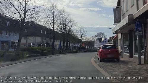
Pizzeria Horus
Restaurant · Kebab, Pizza, Turkish · 6.2 km
74 Adenauerstraße, Altenbeken
Tu-Su 17:00-21:00
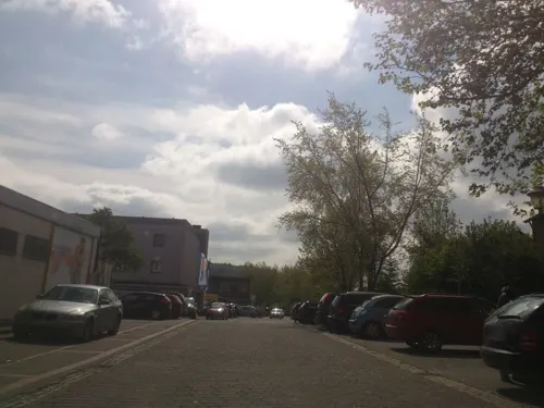
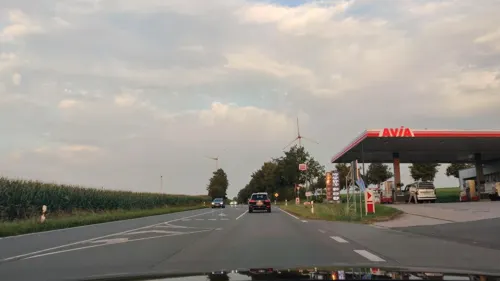
Rodízio Paderborn
Restaurant · Brazilian · 5.6 km
1 An der B64, Altenbeken
Su-Fr 18:00-23:00; Sa 12:00-14:30, 18:00-23:00
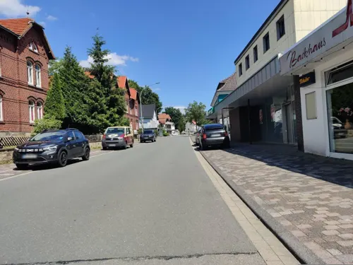


Ruth's Knotenpunkt
Bar and pub · American, Burger, Fries, Sausage, Hot Dog · 6.4 km
1 Christian-Schütze-Straße, Altenbeken
Tu-Th 11:00-14:00, 17:00-22:30; Fr-Sa 11:00-01:00; Su 11:00-22:30
70 more on the map.
Where to stay22
Churches and places of worship51
Shopping22
Gas and EV charging8
Schools, colleges and libraries22
Healthcare11
Map of Bad Driburg
250 places. The map loads OpenStreetMap tiles when you open it.
Getting there and nearby towns
Airport Paderborn/Lippstadt (PAD) is the nearest airport with scheduled flights listed in OpenStreetMap, 31 km away.
- Brakel 12 km east, about 12 min by car
- Bad Lippspringe 15 km west, about 15 min by car
- Lichtenau 15 km southwest, about 15 min by car
- Steinheim 16 km north, about 16 min by car
- Paderborn 18 km west, about 18 min by car
- Blomberg 24 km north, about 24 min by car
- Detmold 25 km northwest, about 25 min by car
- Höxter 25 km east, about 25 min by car
- Beverungen 25 km east, about 25 min by car
- Hövelhof 27 km west, about 27 min by car
Drive times are estimates from straight-line distance, not routes.
Local news
Headlines from INDB.
Reviews, tips and questions
Loading what members have shared...
Sources and licences
- GeoNames (CC BY 4.0): population, coordinates, regions and time zone
- Mapillary (see each image): photos
- OpenStreetMap contributors (ODbL 1.0): places, airports, map data
- Wikidata (CC0 1.0): elevation, founding date, time zone, website, landmarks and historic places
- Wikimedia Commons (see each image): photos
- Wikipedia (CC BY-SA 4.0): overview and history text
Photo credits
- Bad Driburg - 2017-05-06 - Sachsenweg (06), Tsungam, CC BY-SA 4.0
- Raiffeisen-Brunnen in Bad Driburg 1, Gerd Fahrenhorst, CC BY 4.0
- Raiffeisen-Brunnen in Bad Driburg 2, Gerd Fahrenhorst, CC BY 4.0
- Glasbläser Skulptur in Bad Driburg, Gerd Fahrenhorst, CC BY 4.0
- Glasmuseum Bad Driburg 05, Cherubino, CC BY-SA 3.0
- Glasmuseum Bad Driburg 02, Cherubino, CC BY-SA 3.0
- Glasmuseum Bad Driburg 03, Cherubino, CC BY-SA 3.0
- Glasmuseum Bad Driburg 04, Cherubino, CC BY-SA 3.0
- St. Peter und Paul - Bad Driburg, Eah, CC BY-SA 3.0
- Kirche Bad Driburg - panoramio, kasselatze, CC BY-SA 3.0
- Jüdischer Friedhof Bad Driburg - Gedenkstein Rückseite, Reijae, CC BY-SA 4.0
- Stellwerk Bad Driburg Dwf, Tohma ( talk ), CC BY-SA 4.0
- Bad Driburg Gräflicher Park - panoramio, Michael aus Halle, CC BY-SA 3.0
- Begehbare Skulptur Kopf und Körper im Gräflichen Park in Bad Driburg, Gerd Fahrenhorst, CC BY 4.0
- Glashütte Becker in Bad Driburg an der Brakeler Straße, Unknown author Unknown author, Public domain
- Vital Klinik Dreizehnlinden, Bad Driburg, Gerd Fahrenhorst, CC BY 4.0
- Fahrzeugsensor mit Speiseelektronik in Bad Driburg 2, Gruppentaste, CC BY-SA 3.0
- Fahrzeugsensor mit Speiseelektronik in Bad Driburg3, Gruppentaste, CC BY-SA 3.0
- Fahrzeugsensor Bad Driburg mit Speiseelektronik, Gruppentaste, CC BY-SA 3.0
- Fahrzeugsensor Gleisschleife Bad Driburg, Gruppentaste, CC BY-SA 3.0
- Bad Driburg - 2026-08-30 - Sachsenring (DSC01138), Tsungam, CC BY-SA 4.0
- Empfangsgebäude Bad Driburg, Tohma ( talk ), CC BY-SA 4.0
- Bad Driburg - 2017-05-06 - Sachsenweg (08), Tsungam, CC BY-SA 4.0
- Bad Driburg - panoramio, Michael aus Halle, CC BY-SA 3.0
- Bad Driburg - 2026-08-30 - Sachsenring (DSC01130), Tsungam, CC BY-SA 4.0
- Bad Driburg - 2026-08-30 - Sachsenring (DSC01129), Tsungam, CC BY-SA 4.0
- Bad Driburg - 2026-08-30 - Kaiser-Karls-Turm (DSC01135), Tsungam, CC BY-SA 4.0
- Bad Driburg - 2026-08-30 - Kaiser-Karls-Turm (DSC01131), Tsungam, CC BY-SA 4.0
- Bad Driburg - 2026-08-30 - Kaiser-Karls-Turm (DSC01132), Tsungam, CC BY-SA 4.0
- Bad Driburg - 2017-05-06 - Sachsenweg (02), Tsungam, CC BY-SA 4.0
- Hölderlin Gedenkstein Bad Driburg, Gerd Fahrenhorst, CC BY 4.0
- Altenbeken Viadukt03 2011-03-19, KlausFoehl, CC BY-SA 3.0
- Burg dringenberg, Linda.floren, CC BY 1.0
- Altenbeken HeiligkreuzKapelle 01, ErwinMeier, CC BY-SA 4.0
- Bad Driburg - 2017-05-06 - Kaiser-Karl-Turm, Aussicht (11), Tsungam, CC BY-SA 4.0
- 2009-10-30-Altenbeken-7a, R-E-AL ( talk | contribs | Gallery ) (German Wikipedia), CC BY-SA 3.0
- Merlsheim - Schloss - 1, Ath, CC0
- Altenbeken - 2016-10-16 - Kirche Schwaney (1), Tsungam, CC BY-SA 4.0
- Altenbeken - 2021-07-10 - POT Brocksberg (DSC 3151), Tsungam, CC BY-SA 4.0
- Brakel - 2018-05-01 - NSG Hinnenburger Forst (35), Tsungam, CC BY-SA 4.0
- Wasserschloss Heerse 20090620 118, Varus111, Public domain
- Bad Driburg evangelische Kirche, bdk, CC BY-SA 3.0
- Altenbeken ev Kirche-aufgehellt, Linda modified by R-E-AL ( talk | contribs | Gallery ) (German Wikipedia), CC BY-SA 3.0
- Schmechten - St. Philippus und Jakobus - 1, Ath, CC0
- Bad Driburg - 2015-02-07 - Rehberg (4), Tsungam, CC BY-SA 4.0
- Altenbeken - 2021-07-10 - POT Brocksberg (DSC 3150), Tsungam, CC BY-SA 4.0
- Amerikanische 10-Zentner-Bombe auf Viaduktstein -Rechte Seite, Bheitmar, CC BY-SA 4.0
- Bad Driburg - 2017-05-15 - NSG Stollen an der Bahnlinie (18), Tsungam, CC BY-SA 4.0
- Altenbeken - 2016-05-21 - PB-047K1 Egge-Nord (034), Tsungam, CC BY-SA 4.0
- Bad Driburg - 2018-05-01 - NSG Hinnenburger Forst (05), Tsungam, CC BY-SA 4.0
- Nieheim - 2018-05-03 - NSG Hinnenburger Forst (52), Tsungam, CC BY-SA 4.0
- Brakel - 2018-05-01 - NSG Hinnenburger Forst (08), Tsungam, CC BY-SA 4.0
- Schwaney - Bodental - 11, Ath, CC0
- Altenbeken - 2021-07-06 - NSG Eggekamm (DSC 3021), Tsungam, CC BY-SA 4.0
- Bad Driburg - 2018-05-08 - NSG Gradberg (08), Tsungam, CC BY-SA 4.0
- Altenbeken - 2021-07-10 - NSG 2-1-7 Am Blankenberge (DSC 3134), Tsungam, CC BY-SA 4.0
- Altenbeken - NSG Hossenberg - 8, Ath, CC0
- Bad Driburg - 2017-05-06 - Sachsenweg (29), Tsungam, CC BY-SA 4.0
- Kiebitzteich Bad Driburg Schilfrohr, bdk, CC BY-SA 3.0
- Altenbeken Schulzentrum, Linda Floren ( Linda 20:45, 2 September 2007 (UTC)), CC BY-SA 3.0
- St. Vitus Alhausen, Otopon, CC BY-SA 4.0
- Glasmuseum Bad Driburg 01, Cherubino, CC BY-SA 3.0
- Street-level photo, thetornado76, CC BY-SA 4.0
- Street-level photo, amenophis, CC BY-SA 4.0
- Street-level photo, thetornado76, CC BY-SA 4.0
- Street-level photo, bielebog, CC BY-SA 4.0
- Street-level photo, derlipper, CC BY-SA 4.0
- Street-level photo, amenophis, CC BY-SA 4.0
- Street-level photo, amenophis, CC BY-SA 4.0
- Street-level photo, amenophis, CC BY-SA 4.0
- Street-level photo, amenophis, CC BY-SA 4.0
- Street-level photo, amenophis, CC BY-SA 4.0
- Street-level photo, amenophis, CC BY-SA 4.0
- Street-level photo, amenophis, CC BY-SA 4.0
- Street-level photo, amenophis, CC BY-SA 4.0
- Street-level photo, amenophis, CC BY-SA 4.0
- Street-level photo, steinm, CC BY-SA 4.0
- Street-level photo, amenophis, CC BY-SA 4.0
- Street-level photo, amenophis, CC BY-SA 4.0
- Street-level photo, amenophis, CC BY-SA 4.0
- Street-level photo, steinm, CC BY-SA 4.0
- Street-level photo, derlipper, CC BY-SA 4.0
- Street-level photo, amenophis, CC BY-SA 4.0
- Street-level photo, amenophis, CC BY-SA 4.0


Page built November 8, 2026. Spotted a mistake? Tell us or suggest a place.