


Steinheim, Germany
Steinheim is a town of 13,797 people in North Rhine-Westphalia, Germany.
Why visit Steinheim
Townapedia lists 38 museums and landmarks, 24 parks and trails, 58 places to eat, 18 places to stay and 45 attractions in and around town.
Highlights include Straußenhof Möller, Kahlenbergturm, Papiermühle Plöger and Alt-Schieder.
Weather in Steinheim
Forecast from MET Norway (CC BY 4.0). Full forecast
About Steinheim
Steinheim (German pronunciation: [ˈʃtaɪnhaɪm] ; Low German: Staime) is a town in Höxter district in North Rhine-Westphalia, Germany.
From the Wikipedia article Steinheim, Westphalia (this version), under CC BY-SA 4.0.
Things to do45
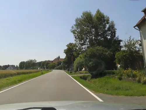
Straußenhof Möller
Farm and orchard · 3.3 km
61 Billerbeckerstraße, Horn-Bad Meinberg
Apr-Oct: Sa 14:00-16:00





33 more on the map.
Museums and landmarks38

Papiermühle Plöger
Museum · 5.7 km
11 Im Niesetal, Schieder-Schwalenberg
May-Oct: Sa 10:00-17:00; Su 10:00-12:00,15:00-17:00

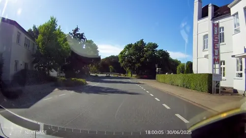
Möbelmuseum
Museum · 0.9 km
1 Rolfzener Straße, Steinheim
We,Su 14:00-17:00; PH off


Station Nr. 31 des Preußischen optischen Telegrafen
Monument and historic site · 5.8 km
Station Nr. 31 des preußischen optischen Telegrafen Berlin-Köln-Koblenz (1832 - 1849): „Lattberg“ Nieheim- Entrup

Wasserschloß Vinsebeck
Monument and historic site · 4.8 km
1 Schloß Vinsebeck, Steinheim


Schloss Schieder
Monument and historic site · 6.4 km
1 Im Kurpark, Schieder-Schwalenberg

Schloss Thienhausen
Monument and historic site · 3.5 km
Dreizehnlindenweg, Steinheim



26 more on the map.
Parks, trails and playgrounds24


Norderteich mit Naptetal
Hiking and trails · 4.6 km
Großflächiger, bereits im Mittelalter aufgestauter Teich mit angrenzenden, sehr naturnah ausgeprägten Röhrichten, Bruchwäldern und...


12 more on the map.
Restaurants and cafes58
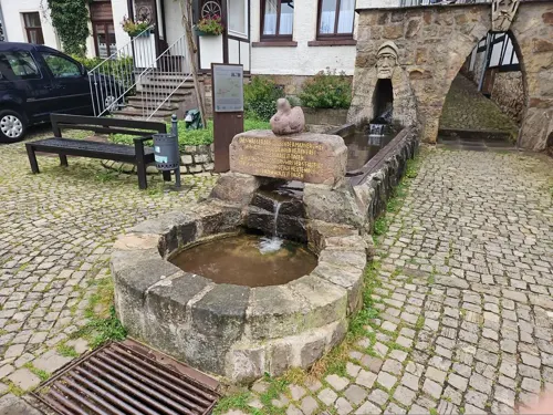
Restaurante la Piazzetta
Restaurant · Italian, Pasta, Pizza · 7.4 km
18 Marktstraße, Schieder-Schwalenberg
Tu-Sa 12:00-14:30, 17:30-22:30; Su 12:00-14:30, 17:00-22:00

Schauinsland
Cafe · 6.9 km
51 Pyrmonter Straße, Horn-Bad Meinberg
Mo-Su,PH 11:00-18:00 open "Mittag 11:30-13:30, Kaffe und Kuchen...
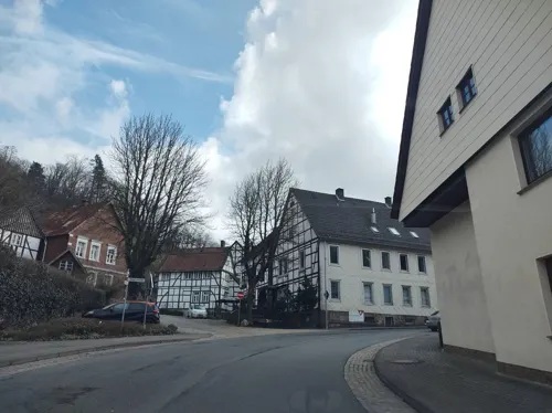
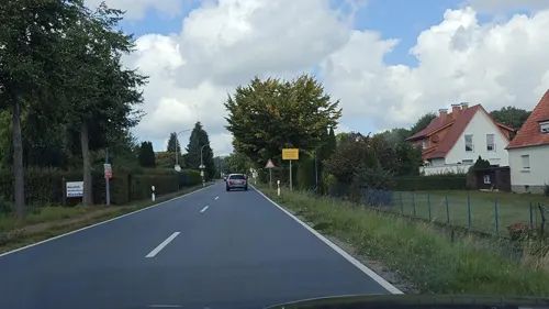
Teutonenhof
Restaurant · German · 4.8 km
28 Teutonenstraße, Steinheim
Mo 18:00-22:00; Fr 18:00-23:00; Sa 15:00-23:00; Su 11:00-23:00
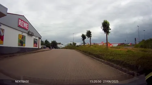
Bäckerei Engel
Bakery · 6.4 km
1 Schwalenberger Straße, Schieder-Schwalenberg
Mo-Sa 06:00-18:00, Su 07:30-17:00
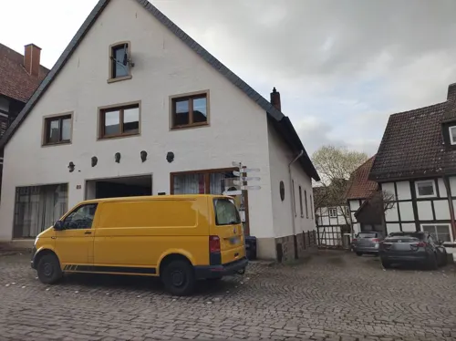



46 more on the map.
History
Steinheim was granted town rights in 1275 by Simon I, Bishop of Paderborn.[1]
From the History section of Steinheim, Westphalia on Wikipedia, under CC BY-SA 4.0.
Where to stay18
Waldblick
Motel and hotel · 6.1 km
13 Auf der Mühlenbreite, Schieder-Schwalenberg
Churches and places of worship22
Evangelisch-reformierte Kirche Wöbbel
Church · Reformed · 3.0 km
2 Am Kirchborn, Schieder-Schwalenberg
Evangelisch-reformierte Kirche Schwalenberg
Church · Reformed · 7.3 km
St. Johannes Baptist
Church · Roman Catholic · 4.9 km
5 Steinheimer Straße, Steinheim
Shopping20
Der Fliegende Hollander
Shop · 6.3 km
19 Schwalenberger Straße, Schieder-Schwalenberg
Gas and EV charging9
E-Bike Ladestation Dorfgemeinschaftshaus Sommersell;Dorfgemeinschaftshaus Sommersell
EV charging · 6.3 km
Schools, colleges and libraries12
Healthcare5
Map of Steinheim
250 places. The map loads OpenStreetMap tiles when you open it.
Getting there and nearby towns
Flugplatz Bielefeld (BFE) is the nearest airport with scheduled flights listed in OpenStreetMap, 39 km away.
- Aerzen 23 km northeast, about 23 min by car
- Paderborn 29 km southwest, about 29 min by car
- Vlotho 36 km northwest, about 36 min by car
- Verl 39 km west, about 39 min by car
- Salzhemmendorf 40 km northeast, about 40 min by car
- Bielefeld 42 km northwest, about 42 min by car
- Warburg 42 km south, about 42 min by car
- Uslar 44 km southeast, about 44 min by car
- Obernkirchen 45 km north, about 45 min by car
- Hofgeismar 46 km southeast, about 46 min by car
Drive times are estimates from straight-line distance, not routes.
Local news
Headlines from INDB.
Reviews, tips and questions
Loading what members have shared...
Sources and licences
- GeoNames (CC BY 4.0): population, coordinates, regions and time zone
- Mapillary (see each image): photos
- OpenStreetMap contributors (ODbL 1.0): places, airports, map data
- Wikidata (CC0 1.0): elevation, founding date, time zone, website
- Wikimedia Commons (see each image): photos
- Wikipedia (CC BY-SA 4.0): overview and history text
Photo credits
- Steinheim westfalen 2012 003, Klaus Graf, CC BY-SA 3.0
- Linie 771, 1, Steinheim, Landkreis Hoexter, User:GeorgDerReisende, CC BY-SA 4.0
- Schieder-Schwalenberg - Befestigungsanlage Alt Schieder (3), Tsungam, CC0
- Ev-Kirche-Wöbbel, Grugerio, CC BY-SA 3.0
- EvKirche-Reelkirchen, Grugerio, CC BY-SA 3.0
- Schieder-Schwalenberg - 20 - Im Kurpark 1 (3), Tsungam, CC BY-SA 3.0
- Steinheim westfalen 2012 002, Klaus Graf, CC BY-SA 3.0
- Schieder-Schwalenberg - 107 - Kahlenbergturm (2), Tsungam, CC BY-SA 3.0
- Blomberg - 2025-03-22 - Schloss Reelkirchen (DSC05661), Tsungam, CC BY-SA 4.0
- Schieder-Schwalenberg - 48 - Im Niesetal 11 (11), Tsungam, CC BY-SA 3.0
- 108SchlossVinsebeck3, Varus111, Public domain
- Schloss-Wöbbel, Grugerio, CC BY-SA 3.0
- Steinheim - 2014-09-04 - St Marien (04), Tsungam, CC BY-SA 4.0
- Schalenstein Bennerberg-Schieder-Schwalenberg, Grugerio, CC BY-SA 3.0
- Blomberg - 2015-02-08 - Beller Holz (69), Tsungam, CC BY-SA 4.0
- Städtisches Gymnasium Steinheim, KaLoCaSo, CC BY-SA 4.0
- Horn-Bad Meinberg - 2015-05-07 - LIP-022 Sannenbruch (20), Tsungam, CC BY-SA 3.0
- Schieder-Schwalenberg - 2015-06-04 - LIP-025 Nieseniederung (18), Tsungam, CC BY-SA 4.0
- Steinheim - 2015-08-09 - HX-058 Emmeroberlauf (03), Tsungam, CC BY-SA 4.0
- Nieheim - 2017-03-04 - Lattbergturm (08), Tsungam, CC BY-SA 4.0
- Steinheim - 2020-09-26 - Evangelische Kirche (DSC03168), Tsungam, CC BY-SA 4.0
- Schieder-Schwalenberg - 016 - Papenwinkel 12 (8), Tsungam, CC BY-SA 3.0
- Belle (Horn-Bad Meinberg) Ev.-ref.-Kapelle, Grugerio, CC BY-SA 3.0
- Steinheim - 096 - St. Johannes Baptist (4), Tsungam, CC BY-SA 3.0
- Nieheim - 2017-03-04 - Lattbergturm (05), Tsungam, CC BY-SA 4.0
- Nieheim - 2017-03-04 - Lattbergturm (17), Tsungam, CC BY-SA 4.0
- Steinheim - 2025-08-12 - NSG Buchenwald bei Bellenberg (DSC06078), Tsungam, CC BY-SA 4.0
- Norderteich Nordostufer, Α 72 22:26, 7. Aug. 2008 (CEST) (Alexander Leischner), CC BY-SA 3.0 de
- NSG-Baumerstal HX-022 Im Steinbruch mit Kleinstgewässern, Ricoleta, CC BY-SA 4.0
- Horn-Bad Meinberg - 2015-02-08 - Beller Holz (21), Tsungam, CC BY-SA 4.0
- Blomberg - 2025-03-02 - Hügelgrab Beller Wald (DSC05618), Tsungam, CC BY-SA 4.0
- Schieder-Schwalenberg - 2025-08-09 - LSG Emmertal südwestlich Noltehof + NSG Emmeroberlauf und Beberbach (DSC 6546), Tsungam, CC BY-SA 4.0
- Nieheim - 2017-05-17 - NSG Emmeroberlauf und Beberbach (07), Tsungam, CC BY-SA 4.0
- Nieheim - 2017-05-17 - NSG Tongruben (10), Tsungam, CC BY-SA 4.0
- Schieder-Schwalenberg - 2015-06-04 - LIP-025 Nieseniederung (2), Tsungam, CC BY-SA 4.0
- Horn-Bad Meinberg - 2015-05-07 - LIP-022 Sannenbruch (14), Tsungam, CC BY-SA 3.0
- Blomberg - 2015-06-14 - LIP-055 Talsystem des Königsbaches (Borkhausen) (2), Tsungam, CC BY-SA 4.0
- Schieder-Schwalenberg - 2015-05-29 - LIP-010 Teich bei Woebbel (03), Tsungam, CC BY-SA 3.0
- SchlossSchieder, Stebra, CC BY-SA 3.0
- Horn-Bad-Meinberg - 2015-05-27 - LIP-060 Buchenwald bei Bellenberg (3), Tsungam, CC BY-SA 3.0
- Horn-Bad-Meinberg - 2015-05-27 - LSG-4119-0005 Heckenlandschaft Bellenberg-Nord (3), Tsungam, CC BY-SA 3.0
- Street-level photo, thetornado76, CC BY-SA 4.0
- Street-level photo, amenophis, CC BY-SA 4.0
- Street-level photo, thetornado76, CC BY-SA 4.0
- Street-level photo, drq23, CC BY-SA 4.0
- Street-level photo, thetornado76, CC BY-SA 4.0
- Street-level photo, derlipper, CC BY-SA 4.0
- Street-level photo, derlipper, CC BY-SA 4.0
- Street-level photo, thetornado76, CC BY-SA 4.0
- Street-level photo, thetornado76, CC BY-SA 4.0
- Street-level photo, thetornado76, CC BY-SA 4.0
- Street-level photo, thetornado76, CC BY-SA 4.0
- Street-level photo, thetornado76, CC BY-SA 4.0
- Street-level photo, Hightower-, CC BY-SA 4.0
- Street-level photo, bielebog, CC BY-SA 4.0
- Street-level photo, thetornado76, CC BY-SA 4.0
- Street-level photo, derlipper, CC BY-SA 4.0
- Street-level photo, derlipper, CC BY-SA 4.0
- Street-level photo, Schmarvis, CC BY-SA 4.0
- Street-level photo, bielebog, CC BY-SA 4.0
- Street-level photo, bielebog, CC BY-SA 4.0
- Street-level photo, ma1pp1er, CC BY-SA 4.0
- Street-level photo, derlipper, CC BY-SA 4.0
- Street-level photo, amenophis, CC BY-SA 4.0
- Street-level photo, thetornado76, CC BY-SA 4.0


Page built November 8, 2026. Spotted a mistake? Tell us or suggest a place.