


Why visit Brakel
Townapedia lists 111 museums and landmarks, 30 parks and trails, 70 places to eat, 22 places to stay and 41 attractions in and around town.
Highlights include Modexer Turm [Modexer Warte], Freilichtbühne Bökendorf, Modellbundesbahn (wegen Umbauarbeiten bis 2029 geschlossen) and Burg Dringenberg.
Weather in Brakel
Forecast from MET Norway (CC BY 4.0). Full forecast
About Brakel
Brakel (German pronunciation: [ˈbʁaːkl̩] ) is a town in the district of Höxter in North Rhine-Westphalia, Germany.
From the Wikipedia article Brakel, Germany (this version), under CC BY-SA 4.0.
Things to do41

Modexer Turm [Modexer Warte]
Scenic view · 2.9 km
Der Modexer Turm [die Modexer Warte] ist ein aus Muschelkalkstein (Bruchsteinmauerwerk) erbauter Rundturm. Turmhöhe: 12,60m, Durchmesser...


Kohlberg
Scenic view · 9.8 km
Der Kohlberg ist ein langgestreckter Berg von Nord nach Süd mit eiunem großen Plateau über 300m. Mehrere Stellen sind über 310m hoch. ...





29 more on the map.
Museums and landmarks111

Modellbundesbahn (wegen Umbauarbeiten bis 2029 geschlossen)
Monument and historic site · 1.5 km
Letzter Öffnungstag 29.05.2026, danach dauerhaft geschlossen. Eröffnet nach einer längeren Umbauphase ab 2029 wieder.
1b Rieseler Feld, Brakel
"Schließt ab 30.05.2026 dauerhaft bis 2029."

Burg Dringenberg
Monument and historic site · 10.4 km
33 Burgstraße, Bad Driburg
We 14:00-17:00; Sa 14:00-17:00; Su 10:00-12:00, 14:00-17:30

Schloss Hinnenburg
Monument and historic site · 2.5 km
Schloss Hinnenburg ist ein dreiflügeliges Renaissanceschloss [um 1600 errichtet] mit einem runden Bergfried auf einer 282 m hohen...

Bökerhof
Monument and historic site · 6.4 km
Das zweigeschossige 'Herrenhaus' wurde [1768-1771] anstelle eines Vorgängerbaus als schlichter, verputzter Fachwerkbau mit zwei...
5 Bökerhof, Brakel

Rommenhöller-Ehrenmal
Monument and historic site · 7.0 km
Carl Gustav Rommenhöller (1853-1931) hat man als Begründer der Kohlensäure-Industrie ein Jahr nach seinem Tod ein 'Denkmal' in Herste...

Friedrich-Wilhelm-Weber Museum
Museum · 9.8 km
Es ist das Geburtshaus des berühmten westfälischen Arztes, Dichters u. Politikers Friedrich Wilhelm Weber (1813–1894). • 1953 wurde das...

Gutshaus
Monument and historic site · 8.8 km
Das Herrenhaus des Guts Holzhausen ist ein zweigeschossiges rechteckiges, auf einer quadratischen Gräfteinsel, in klassizistischer...
1 Gutshof, Nieheim

Schloss Hembsen
Monument and historic site · 3.8 km
Schloss (Gutshof) Hembsen geht auf das 14. Jhd. zurück und war ursprünglich vermutl. eine Wasserburg der Herren von der Asseburg. 1750...
32 Lange Straße, Brakel

Schloss Rheder
Monument and historic site · 4.6 km
10 Nethetalstraße, Brakel
Alte Rentei
Monument and historic site · 8.8 km
Die sogenannte Alte Rentei ist das älteste erhaltene Gebäude auf Gut Holzhausen. Es ist inschriftlich datiert auf 1572. Die Lage sowie...

Benediktinerinnenkloster St. Maria
Monument and historic site · 8.5 km
99 more on the map.
Parks, trails and playgrounds30

Hinnenburger Forst mit Emder Bachtal
Hiking and trails · 5.0 km
Naturschutzgebiet HX-086 (Brakeler Teil des Naturschutzgebiets "Hinnenburger Forst mit Emder Bachtal")

Hinnenburger Forst mit Emder Bachtal
Hiking and trails · 7.0 km
Naturschutzgebiet HX.072 (Nieheimer Teil des Naturschutzgebiets "Hinnenburger Forst mit Emder Bachtal")

Hinnenburger Forst mit Emder Bachtal
Hiking and trails · 7.1 km
Naturschutzgebiet HX-082 (Bad Driburger Teil des Naturschutzgebiets "Hinnenburger Forst mit Emder Bachtal")



DAV Kletterzentrum OWL
Sports field and stadium · 0.9 km
12 Lütkerlinde, Brakel
Mo-Fr 15:00-22:00; Sa,Su 10:00-20:00

Kalkmagerrasen bei Ottbergen und Bruchhausen
Hiking and trails · 7.3 km


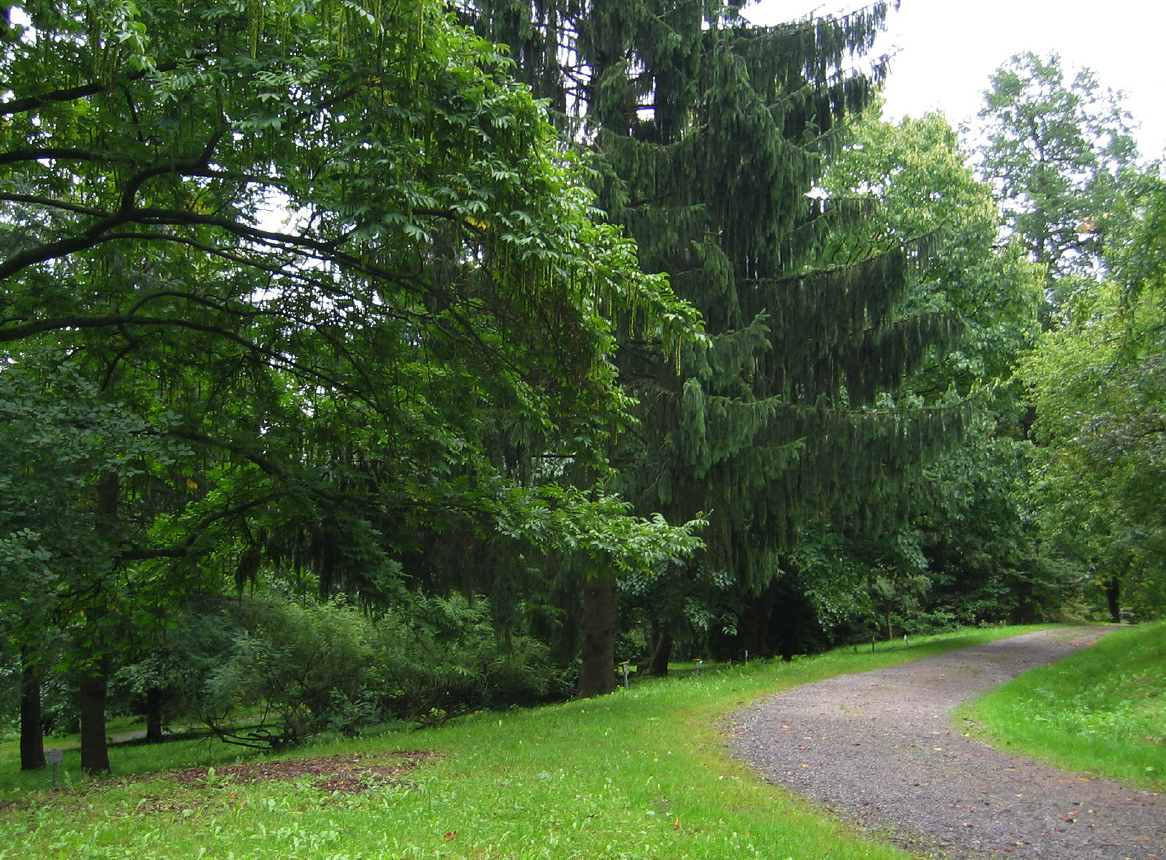
Arboretum Buddenberg
Park · 10.3 km
1966 gegründet beiheimatet das Arboretum auf einer Fläche von ca. 10 Hektar über 100 Baumarten. Benannt ist der Park nach seinem...
18 more on the map.
Restaurants and cafes70
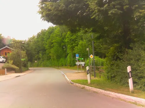
Bistro Kornkammer
Restaurant · Burger, German, Regional · 6.0 km
1 Am Strickberg, Brakel
Sep-Jun Fr,Sa 17:00+, Su 11:00+; Jul,Aug Th-Sa 17:00+, Su 11:00+

Ristorante Pizzeria La Casa
Restaurant · Italian
6 Königstraße, Brakel
Mo-Tu 17:00-23:00, We off, Th-Su 17:00-23:00
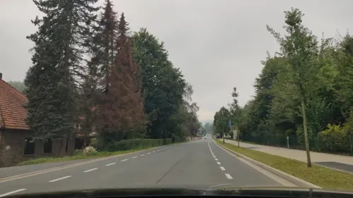
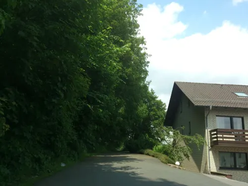
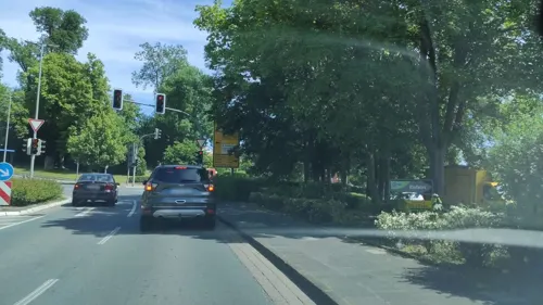
Bäckerei Engel im Combi-Markt
Bakery
40 Ostheimer Straße, Brakel
Mo-Fr 05:30-19:00; Sa 06:00-19:00; Su 07:30-11:00

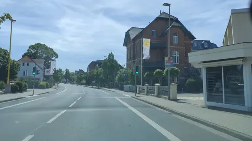
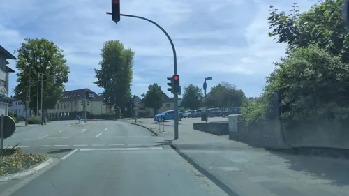
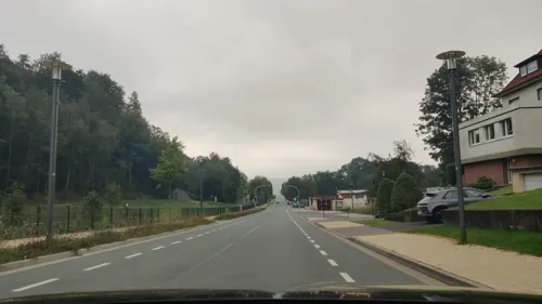
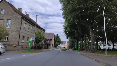
Krome's Backstube
Bakery · 10.3 km
1 Liboristraße, Marienmünster
Mo-Fr 06:00-17:00; Sa 06:00-12:00; Su 07:00-11:00
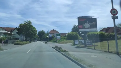


Kromes Backstube
Bakery · 0.7 km
25 Warburger Straße, Brakel
Mo-Fr 06:00-17:00; Sa 06:00-13:00; Su 07:00-11:00
58 more on the map.
History
Brakel was first mentioned in 836 as "villa brechal" in writings by the Benedictine monks. After the lords of Brakel died out in the late 13th century, Hinnenburg Castle on a hill above Brakel was inherited by the House of Asseburg, owning it to this day. The medieval castle was reconstructed around 1600 in the Weser Renaissance style. Brakel developed itself into quite an important trading town that belonged to the Hanseatic League. In the 14th century, this Hanseatic town was at the height of its boom, bearing the same rank as Paderborn and Warburg, bearing witness to which was the town's having its own court and market rights. The general situation worsened in the 15th century. In the outer regions, the Brede Monastery was founded.
The Thirty Years' War also left traces in Brakel. In 1803, Prussia took over the town and appointed Brakel a district seat. After a brief period of French rule in Napoleonic times, the district seat had to be yielded permanently to Höxter in 1832.
On 1 January 1970, the formerly independent communities of Beller, Bellersen, Bökendorf, Erkeln, Hembsen, Hinnenburg, Istrup, Rheder, Riesel and Schmechten merged with the town.
From the History section of Brakel, Germany on Wikipedia, under CC BY-SA 4.0.
Where to stay22
Churches and places of worship51
Shopping15
Gas and EV charging7
Schools, colleges and libraries19
Städtische Gemeinschaftsgrundschule der Stadt Brakel, Teilstandort Hembsen
School · 3.8 km
5 Angerlinde, Brakel
Healthcare7
Map of Brakel
250 places. The map loads OpenStreetMap tiles when you open it.
Getting there and nearby towns
Kassel Airport (KSF) is the nearest airport with scheduled flights listed in OpenStreetMap, 36 km away.
- Höxter 15 km northeast, about 15 min by car
- Steinheim 18 km north, about 18 min by car
- Holzminden 22 km northeast, about 22 min by car
- Lichtenau 23 km southwest, about 23 min by car
- Warburg 25 km south, about 25 min by car
- Lügde 27 km north, about 27 min by car
- Paderborn 30 km west, about 30 min by car
- Hofgeismar 28 km southeast, about 28 min by car
- Detmold 33 km northwest, about 33 min by car
- Uslar 32 km east, about 32 min by car
Drive times are estimates from straight-line distance, not routes.
Local news
Headlines from INDB.
Reviews, tips and questions
Loading what members have shared...
Sources and licences
- GeoNames (CC BY 4.0): population, coordinates, regions and time zone
- Mapillary (see each image): photos
- OpenStreetMap contributors (ODbL 1.0): places, airports, map data
- Wikidata (CC0 1.0): elevation, founding date, time zone, website
- Wikimedia Commons (see each image): photos
- Wikipedia (CC BY-SA 4.0): overview and history text
Photo credits
- Schloss Boekerhof, user Intranet, CC BY-SA 2.0 de
- Brakel Epitaph Rudolphi, Daniel Brockpähler, CC BY-SA 3.0
- Brakel, Panoramarelief - panoramio, kasselatze, CC BY-SA 3.0
- Torwächterhaus Brakel, Tohma ( talk ), CC BY-SA 4.0
- Brakel, straatzicht met de toren van de katholische Pfarrkirche Sankt Michael (Dm5) op de achtergrond foto7 2015-09-10 15.50, Michielverbeek, CC BY-SA 4.0
- Brakel, Sinnspruch der Meyerei Am Thy - panoramio, kasselatze, CC BY-SA 3.0
- Brakel Kloster Maria Opferungstal, Daniel Brockpähler, CC BY-SA 3.0
- Flug -Nordholz-Hammelburg 2015 by-RaBoe 0663 - Brakel, © Ra Boe / Wikipedia, CC BY-SA 3.0 de
- Flug -Nordholz-Hammelburg 2015 by-RaBoe 0662 - Brakel, © Ra Boe / Wikipedia, CC BY-SA 3.0 de
- Flug -Nordholz-Hammelburg 2015 by-RaBoe 0661 - Brakel, © Ra Boe / Wikipedia, CC BY-SA 3.0 de
- Flug -Nordholz-Hammelburg 2015 by-RaBoe 0660 - Brakel, © Ra Boe / Wikipedia, CC BY-SA 3.0 de
- Flug -Nordholz-Hammelburg 2015 by-RaBoe 0659 - Brakel, © Ra Boe / Wikipedia, CC BY-SA 3.0 de
- Flug -Nordholz-Hammelburg 2015 by-RaBoe 0666 - Brakel, © Ra Boe / Wikipedia, CC BY-SA 3.0 de
- Flug -Nordholz-Hammelburg 2015 by-RaBoe 0658 - Brakel, © Ra Boe / Wikipedia, CC BY-SA 3.0 de
- Buddenberg-Arboretum 2004, bdk, CC BY-SA 3.0
- Burg dringenberg, Linda.floren, CC BY 1.0
- Boekendorf Schloss Boekerhof 2026, Psittacuso, CC BY-SA 4.0
- Bad Driburg, Escherberg mit Lilienberg und Quadlenberg, bdk, CC BY-SA 3.0
- Bühnenbild 2003 - Der Glöckner von Notre Dame, Freilichtbühne Bökendorf, CC BY-SA 2.5
- Friedrich-Wilhelm-Weber-Museum Alhausen, Kka, Public domain
- Kath. Stadtpfarrkirche Brakel, Arimja, CC BY-SA 3.0
- Satzer Moor von Nordwesten 02, bdk, CC BY-SA 3.0
- Brakel Kapuzinerkirche, Daniel Brockpähler, CC BY-SA 3.0
- Ehem. Klosteranlage, Brakel, OT Gehrden, Schloßstr. 6, Psychogerd, CC BY-SA 4.0
- Modellbundesbahn, Cherubino, CC BY-SA 3.0
- Flug -Nordholz-Hammelburg 2015 by-RaBoe 0649 - Schloss Hinnenburg, © Ra Boe / Wikipedia, CC BY-SA 3.0 de
- SchlossRheder, Hubertus Giefers (user Giefers ), Public domain
- Schulen der Brede Brakel, Arimja, CC BY-SA 3.0
- Holzhausen - St. Johannes Baptist - 1, Ath, CC0
- Gehrden Kath.Kirche St.Peter+Paul, Mariuswagener (Marius Wagener), Public domain
- Kirche Rheder St Katharina, Hubertus Giefers (user Giefers ), Public domain
- Höxter - 2017-04-27 - HX-075 Kalkmagerrasen bei Ottbergen und Bruchhausen (15), Tsungam, CC BY-SA 4.0
- Brakel - 2018-05-01 - NSG Hinnenburger Forst (35), Tsungam, CC BY-SA 4.0
- Willebadessen - 2017-04-30 - NSG Nethe (06), Tsungam, CC BY-SA 4.0
- Nieheim - 2017-03-04 - Nieheimer Warte (17), Tsungam, CC BY-SA 4.0
- Brakel - 2018-03-24 - Modexer Warte (04), Tsungam, CC BY-SA 4.0
- Brakel Auferstehungskirche, Daniel Brockpähler, CC BY-SA 3.0
- Kath. Pfarrkirche St. Agatha, Brakel, OT Siddessen, Am Kirchhof, Psychogerd, CC BY-SA 4.0
- Annenkapelle Brakel, Arimja, CC BY-SA 3.0
- Schloss Hinnenburg Sammlung Duncker, Heinrich Deiters (1840-1916), Friedrich Wilhelm Ferdinand Theodor Albert (Magdeburg 1822-1867, Berlin), Alexander Duncker (1813-1897), Public domain
- Rittergut Holzhausen Sammlung Duncker, Heinrich Deiters (1840-1916), Hermann Menzler, Alexander Duncker (1813-1897), Public domain
- Nieheim - 2018-05-03 - NSG Hinnenburger Forst (52), Tsungam, CC BY-SA 4.0
- Brakel - 2018-05-01 - NSG Hinnenburger Forst (08), Tsungam, CC BY-SA 4.0
- Bad Driburg - 2018-05-01 - NSG Hinnenburger Forst (05), Tsungam, CC BY-SA 4.0
- Beverungen - 2017-04-27 - HX-014 Stockberg (18), Tsungam, CC BY-SA 4.0
- Höxter - 2022-06-04 - NSG Auf dem Eschenberg (DSC 8146), Tsungam, CC BY-SA 4.0
- Höxter - 2017-04-27 - HX-075 Kalkmagerrasen bei Ottbergen und Bruchhausen (07), Tsungam, CC BY-SA 4.0
- Brakel - 2019-05-18 - HX-083 Nethe (DSC 6473), Tsungam, CC BY-SA 4.0
- Höxter - 2022-06-04 - NSG Rumberg (DSC 8104), Tsungam, CC BY-SA 4.0
- Bad Driburg - 2018-05-11 - HX-070 Satzer Moor (01), Tsungam, CC BY-SA 4.0
- Nieheim - 2017-06-01 - NSG Wenkenberg (14), Tsungam, CC BY-SA 4.0
- Höxter, Bruchhausen, evangelische Kirche, Spunky, Public domain
- Bosseborn Kirche 1, Spunky, Public domain
- Die Südseite der Kirche, Hirsel, CC BY-SA 3.0
- Nieheim - 2017-06-01 - Kapelle Klunsberg (06), Tsungam, CC BY-SA 4.0
- Street-level photo, amenophis, CC BY-SA 4.0
- Street-level photo, ramap, CC BY-SA 4.0
- Street-level photo, amenophis, CC BY-SA 4.0
- Street-level photo, ma1pp1er, CC BY-SA 4.0
- Street-level photo, ma1pp1er, CC BY-SA 4.0
- Street-level photo, amenophis, CC BY-SA 4.0
- Street-level photo, ma1pp1er, CC BY-SA 4.0
- Street-level photo, ma1pp1er, CC BY-SA 4.0
- Street-level photo, ramap, CC BY-SA 4.0
- Street-level photo, ma1pp1er, CC BY-SA 4.0
- Street-level photo, amenophis, CC BY-SA 4.0
- Street-level photo, amenophis, CC BY-SA 4.0
- Street-level photo, ma1pp1er, CC BY-SA 4.0
- Street-level photo, derlipper, CC BY-SA 4.0
- Street-level photo, amenophis, CC BY-SA 4.0
- Street-level photo, amenophis, CC BY-SA 4.0
- Street-level photo, ma1pp1er, CC BY-SA 4.0
- Street-level photo, amenophis, CC BY-SA 4.0
- Street-level photo, ma1pp1er, CC BY-SA 4.0
- Street-level photo, ma1pp1er, CC BY-SA 4.0
- Street-level photo, ma1pp1er, CC BY-SA 4.0
- Street-level photo, ma1pp1er, CC BY-SA 4.0
- Street-level photo, amenophis, CC BY-SA 4.0
- Street-level photo, amenophis, CC BY-SA 4.0


Page built November 8, 2026. Spotted a mistake? Tell us or suggest a place.