


Bad Langensalza, Germany
Bad Langensalza is a town of 16,717 people in Thuringia, Germany.
Why visit Bad Langensalza
Townapedia lists 67 museums and landmarks, 18 parks and trails, 61 places to eat, 8 places to stay and 15 attractions in and around town.
Highlights include Tom's Farm, Steinberg, Apothekenmuseum and Heimatmuseum Burgtonna.
Weather in Bad Langensalza
Forecast from MET Norway (CC BY 4.0). Full forecast
About Bad Langensalza
Bad Langensalza (German pronunciation: [baːt laŋənˈzaltsa] ; until 1956: Langensalza) is a spa town of 17,500 inhabitants in the Unstrut-Hainich district, Thuringia, central Germany.
From the Wikipedia article Bad Langensalza (this version), under CC BY-SA 4.0.
Things to do15



3 more on the map.
Museums and landmarks67



Kursächsische Postmeilensäule
Monument and historic site · 7.1 km
Kursächsische Postmeilensäule-Ganzmeilensäule, beschädigt, nur Stumpf erhalten





55 more on the map.
Parks, trails and playgrounds18





6 more on the map.
Restaurants and cafes61
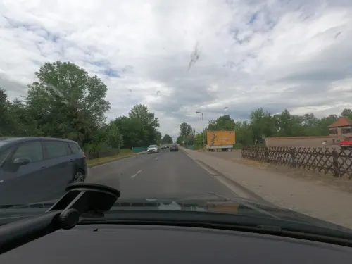
Gasthaus Zum Mühlgraben
Restaurant · International · 5.8 km
Hunde erlaubt
4a Langensalzaer Straße, Tonna
Mo-Su 11:00+
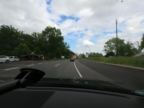
Harth-Haus
Restaurant · German · 7.1 km
55 Eisenacher Straße, Bad Langensalza
Mo,Th-Sa 11:00-23:00; Tu 11:00-15:00; We off; Su,PH 11:00-21:00
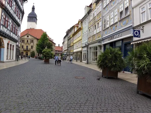
Steak & Schnitzel Haus
Restaurant · Steak, Schnitzel
19 Marktstraße, Bad Langensalza
Mo,Su 11:00-20:00; We 10:00-21:00; Th-Sa 11:00-21:00
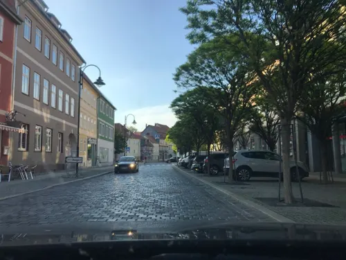
American Diner
Restaurant · Burger
Mo 17:00-20:00; We 12:00-20:00; Th 17:00-20:00; Fr 17:00-21:00; Sa...

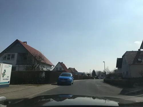
Eiscafe Klaus in der Au
Cafe · Ice Cream · 3.8 km
3 Großwelsbacher Straße, Bad Langensalza
Mo-Tu off; We-Su,PH 13:00-18:00
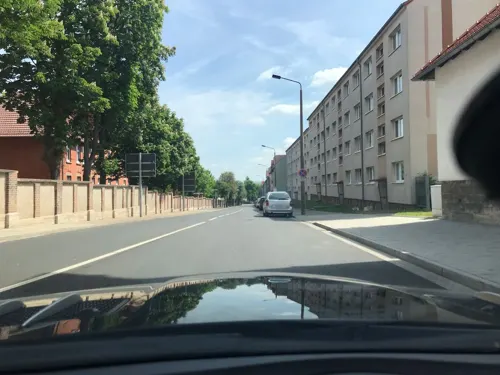
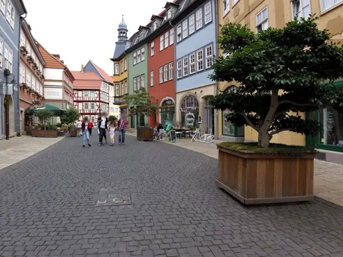
Salza Treff
Restaurant · German, Kebab, Mexican, Asian, Pizza
25 Illebener Weg, Bad Langensalza
Mo-Tu,Th-Sa 11:00-22:00; We off; Su 12:00-22:00


Asia Stern
Restaurant · Chinese · 0.8 km
38 Tonnaer Straße, Bad Langensalza
Tu-Su 11:00-14:30,17:00-22:00

Bowling - Kegeln - Bar
Restaurant · German · 0.9 km
1a Goethestraße, Bad Langensalza
Su,Mo "call us", Tu-Sa 16:00-01:00
49 more on the map.
History
The town was first mentioned in historical records c. 932, as a village named "Salzaha". The town's name was changed to Langensalza c. 1578, and "Bad" ("Spa") added to the name in 1956.
In 1075, Langensalza was the site of a battle, in which Emperor Henry IV won over the rebelling Saxons and Thuringians.
The town was plundered and damaged by fires during the Thirty Years' War (c. 1632). Fires again destroyed large parts of the town in 1711, including complete destruction of the town hall, which was rebuilt between 1742 and 1752.
War again affected the town between 1756 and 1763, during the Seven Years' War; it was the scene of a battle in February 1761. In 1815 Langensalza became part of the Prussian Province of Saxony.
In 1866 it was again the site of a battle, this time between Prussia and Hanover during the Austro-Prussian War. This Battle of Langensalza is notable for being the last time intra-German forces have met in combat.
During World War I, a German prisoner-of-war camp for Allies, including Americans, was operated in the town.
On April 5, 1945, Langensalza was occupied by American troops and handed over to the Red Army in early July. It became part of the Soviet (Russian) occupation zone and, from 1949 to 1990, was part of the German Democratic Republic.
From the History section of Bad Langensalza on Wikipedia, under CC BY-SA 4.0.
Where to stay8
Churches and places of worship35
Shopping18
Gas and EV charging8
Schools, colleges and libraries9
Evangelische Grundschule Ufhoven
School · 1.4 km
1 Döppingstraße, Bad Langensalza
Healthcare7
Map of Bad Langensalza
246 places. The map loads OpenStreetMap tiles when you open it.
Getting there and nearby towns
Flugplatz Eisenach-Kindel (EIB) is the nearest airport with scheduled flights listed in OpenStreetMap, 17 km away.
- Gotha 18 km south, about 18 min by car
- Waltershausen 24 km south, about 24 min by car
- Eisenach 27 km southwest, about 27 min by car
- Erfurt 31 km southeast, about 31 min by car
- Sondershausen 33 km northeast, about 33 min by car
- Sömmerda 33 km east, about 33 min by car
- Leinefelde-Worbis 38 km northwest, about 38 min by car
- Eschwege 42 km west, about 42 min by car
- Bad Salzungen 44 km southwest, about 44 min by car
- Nordhausen 45 km north, about 45 min by car
Drive times are estimates from straight-line distance, not routes.
Local news
Headlines from INDB.
Reviews, tips and questions
Loading what members have shared...
Sources and licences
- GeoNames (CC BY 4.0): population, coordinates, regions and time zone
- Mapillary (see each image): photos
- OpenStreetMap contributors (ODbL 1.0): places, airports, map data
- Wikidata (CC0 1.0): elevation, founding date, time zone, website, landmarks and historic places
- Wikimedia Commons (see each image): photos
- Wikipedia (CC BY-SA 4.0): overview and history text
Photo credits
- Altstadt Bad Langensalza2, Michael Sander, CC BY-SA 3.0
- Bad Langensalza, Marktkirche, der Turm, Dguendel, CC BY 3.0
- Bad Langensalza, Haus Neue Gasse 9, Dguendel, CC BY 3.0
- Bad Langensalza, das Restaurant "Venezia", Dguendel, CC BY 3.0
- Bad Langensalza 1989-08-29, Michael Köhler, CC BY 4.0
- Bad Langensalza, Haus Kornmarkt 12, Neue Gasse und Kornmarkt, Dguendel, CC BY 3.0
- Bad Langensalza, das Rathaus, Glockenspiel und Balkon, Dguendel, CC BY 3.0
- Bad Langensalza, das Haus Marktstraße 31, Dguendel, CC BY 3.0
- Bad Langensalza, the street "Entenlaich", Dguendel, CC BY 3.0
- Bad Langensalza, Haus Entenlaich 13, Dguendel, CC BY 3.0
- A part of Bad Langensalza - panoramio - King Otto (15), King Otto, CC BY-SA 3.0
- Bad Langensalza, Bauensemble Neumarkt mit Mohrenapotheke, Dguendel, CC BY-SA 3.0
- Bad Langensalza, der Marktbrunnen, Dguendel, CC BY 3.0
- Stolperstein Bad Langensalza Rathausstraße 6 Günther Schlesinger gesäubert, Gmbo 2013, CC0
- Stolperstein Bad Langensalza Rathausstraße 6 Nettchen Gossmann gesäubert, Gmbo 2013, CC0
- Stolperstein Bad Langensalza Rathausstraße 6 Fritz Schlesinger gesäubert, Gmbo 2013, CC0
- Stolperstein Bad Langensalza Rathausstraße 6 Irma Schlesinger gesäubert, Gmbo 2013, CC0
- Stolpersteine Bad Langensalza Rathausstraße 6 gesäubert, Gmbo 2013, CC0
- Marktbrunnen bad langensalza 2020-06-02, Z thomas, CC BY-SA 4.0
- Stolperstein Bad Langensalza Rathausstraße 6 Arthur Gossmann gesäubert, Gmbo 2013, CC0
- Bad Langensalza, Haus Marktstraße 12, Fassade, Dguendel, CC BY 3.0
- Stolpersteine Bad Langensalza Rathausstraße 6, Gmbo 2013, CC0
- Bad Langensalza, the restaurant "Goldener Löwe", Dguendel, CC BY 3.0
- A part of Bad Langensalza - panoramio - King Otto (18), King Otto, CC BY-SA 3.0
- Stolperstein Bad Langensalza Rathausstraße 6 Irma Schlesinger, Gmbo 2013, CC0
- Stolperstein Bad Langensalza Rathausstraße 6 Fritz Schlesinger, Gmbo 2013, CC0
- Stolperstein Bad Langensalza Rathausstraße 6 Arthur Gossmann, Gmbo 2013, CC0
- Stolperstein Bad Langensalza Rathausstraße 6 Günther Schlesinger, Gmbo 2013, CC0
- Kirche in Grossengottern, Wikswat, CC BY-SA 3.0
- Bad Langensalza vor dem Stadtmuseum, Ganzmeilensäule No 64, Manfred Schröter, Berga, CC BY-SA 4.0
- Bad Langensalza vor dem Stadtmuseum, Historische Steine, Manfred Schröter, Berga, CC BY-SA 4.0
- Marktkirche Bad Langensalza, Michael Sander, CC BY-SA 3.0
- Kettenburg Gräfentonna, Michael Sander, CC BY-SA 3.0
- Apothekenmuseum Haus Rosenthal, Bad Langensalza 13, Giorno2, CC BY-SA 4.0
- Bad LS 4, Fraxinus2, CC BY-SA 4.0
- Großengottern, Kursächsische Ganzmeilensäule, Manfred Schröter, Berga, CC BY-SA 4.0
- Burgtonna-Christuskirche-2, CTHOE, CC BY-SA 3.0
- Großwelsbach-Kirche-1, CTHOE, CC BY-SA 3.0
- Sundhausen Kirche 2, Wikswat, CC BY-SA 3.0
- Klettstedt Kirche (Südseite), Wikswat, CC BY-SA 3.0
- Kleinwelsbach Kirche, Wikswat, CC BY-SA 3.0
- Bothenheilingen Kirche 1, Wikswat, CC BY-SA 3.0
- Ufhoven-Kirche-1, CTHOE, CC BY-SA 3.0
- Merxleben St. Martini (01), Wikiwal, CC BY-SA 4.0
- Schieferhof Nägelstädt, Michael Sander, CC BY-SA 3.0
- Hufelandklinikum 2021-06-11 (9), Elmar Nolte, CC BY-SA 4.0
- Bad Langensalza 2022 - Rosengarten, Michael Wittwer, CC BY-SA 4.0
- Catholic Church St. Marien, Bad Langensalza 05, Aschroet, CC0
- Unterkirche Schönstedt 2, Aschroet, CC0
- Kurpromenade, Schalenturm Bad Langensalza 20180817 001, Tilman2007, CC BY-SA 4.0
- Bad Langensalza, Stadtmauer, Burgturm, 002, Tilman2007, CC BY-SA 3.0
- LSZ2024-12-Apothekenmuseum, Sipalius, CC BY-SA 4.0
- GMSGrossengotternMuseum220809FotoAndreKaiser, Andre Kaiser, Public domain
- Ballstädt-Mühle-2, CTHOE, CC BY-SA 3.0
- Bad Langensalza Botanischer Garten Impression, Ousw, CC0
- LangensalzaGanzmeile, Jwaller, CC BY-SA 3.0
- Street-level photo, saschahaberkorn, CC BY-SA 4.0
- Street-level photo, zoegglmeyr, CC BY-SA 4.0
- Street-level photo, zoegglmeyr, CC BY-SA 4.0
- Street-level photo, saschahaberkorn, CC BY-SA 4.0
- Street-level photo, zoegglmeyr, CC BY-SA 4.0
- Street-level photo, saschahaberkorn, CC BY-SA 4.0
- Street-level photo, bufonto, CC BY-SA 4.0
- Street-level photo, saschahaberkorn, CC BY-SA 4.0
- Street-level photo, sennewald63, CC BY-SA 4.0
- Street-level photo, zoegglmeyr, CC BY-SA 4.0
- Street-level photo, saschahaberkorn, CC BY-SA 4.0
- Street-level photo, saschahaberkorn, CC BY-SA 4.0
- Street-level photo, saschahaberkorn, CC BY-SA 4.0
- Street-level photo, zoegglmeyr, CC BY-SA 4.0
- Street-level photo, zoegglmeyr, CC BY-SA 4.0
- Street-level photo, zoegglmeyr, CC BY-SA 4.0
- Street-level photo, zoegglmeyr, CC BY-SA 4.0
- Street-level photo, saschahaberkorn, CC BY-SA 4.0
- Street-level photo, sennewald63, CC BY-SA 4.0
- Street-level photo, saschahaberkorn, CC BY-SA 4.0


Page built November 8, 2026. Spotted a mistake? Tell us or suggest a place.