


Why visit Waltershausen
Townapedia lists 78 museums and landmarks, 38 parks and trails, 82 places to eat, 30 places to stay and 105 attractions in and around town.
Highlights include Friedrichroda, Marienglashöhle cave, Marienglashöhle and Galerie Ringelnatz.
Weather in Waltershausen
Forecast from MET Norway (CC BY 4.0). Full forecast
About Waltershausen
Waltershausen (German pronunciation: [valtɐsˈhaʊzn̩] ) is a town in the south-western part of the district of Gotha in the state of Thuringia, Germany.
From the Wikipedia article Waltershausen (this version), under CC BY-SA 4.0.
Things to do105

Friedrichroda
Monument and historic site · 4.6 km
Town in Thuringia, Germany

Marienglashöhle cave
Monument and historic site · 4.1 km
Cave in Germany




93 more on the map.
Museums and landmarks78

Marienglashöhle
Monument and historic site · 4.1 km
1 An der Marienglashöhle, Friedrichroda
Apr-Oct 10:00-17:00; Nov-Mar 10:00-16:00

Mineralien Museum
Museum · 4.1 km
20 Lauchagrundstraße, Bad Tabarz
Tu-Fr 10:00-17:00; Sa-Su 10:00-16:00


Heimatmuseum Friedrichroda
Museum · 4.5 km
Tu,Sa 10:00-12:00; We,Th 10:00-12:00,15:00-17:00
66 more on the map.
Parks, trails and playgrounds38


Freibad Finsterbergen
Sports field and stadium · 6.8 km
3 Friedrichrodaer Weg, Friedrichroda
Mo-Fr 10:00-19:00; Sa,Su,PH 10:00-19:00
TABBS Wellness- & Sparessort
Sports field and stadium · 3.3 km
10 Schwimmbadweg, Bad Tabarz
May-Aug: Mo-Su 09:00-21:00; Sep-Apr: Sa-We 09:00-21:00; Sep-Apr:...


Sportbad Friedrichroda
Sports field and stadium · 4.3 km
10:00-18:00; Sep 16-May 14 off




26 more on the map.
Restaurants and cafes82
Parkgaststätte Laucha - Biergarten und Pension
Restaurant · Regional, International, Burger, German · 3.5 km
1a Mühlgasse, Hörsel
Mo 17:00-22:00; We 15:00-21:00; Th,Fr 15:00-22:00; Sa 11:00-22:00;...
Bäckerei Reinke
Bakery · 4.6 km
Café / Konditorei / Bäckerei
14 Marktstraße, Friedrichroda
Tu-Fr 05:30-18:00; Sa 05:30-12:00; Mo,Su,PH off
Café Eiszeit
Cafe · Ice Cream · 3.8 km
3 Zimmerbergstraße, Bad Tabarz
Mo 12:00-18:00; Tu off; We-Su 12:00-18:00
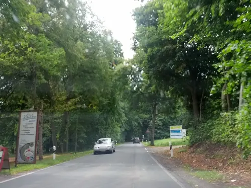
Fischerhof (geschlossen)
Restaurant · Fish · 3.4 km
4 Reinhardsbrunn, Friedrichroda
closed "bis auf weiteres geschlossen"


Waldgasthaus Sankt Marien
Restaurant · Regional · 4.0 km
Netter Biergarten ohne Parkplatzblick.
Tu-Fr 10:00-18:00; Sa-Su 11:00-18:00; Mo off; PH 11:00-18:00;...
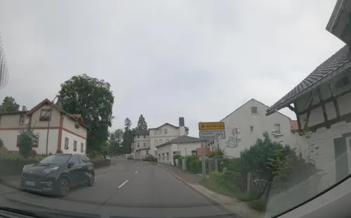
ANNO 1700
Restaurant · 4.5 km
83 Inselsbergstraße, Bad Tabarz
Mo off; We-Sa 14:00-22:00; Su 12:00-20:00
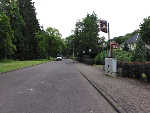
Arenaris
Restaurant · Regional · 4.6 km
64 Lauchagrundstraße, Bad Tabarz
Mo,We-Fr 15:00-22:00; Sa 12:00-22:00; Su 12:00-20:00

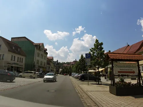
Bauernstübchen
Restaurant · Regional, German
Thüringer Küche mit all ihren Facetten! Ob rustikal oder elegant; wir bieten Ihnen einen kulinarischen Ausflug in die Vielfalt der...
69 Hauptstraße, Waltershausen


Berggasthof Tanzbuche
Restaurant · 6.6 km
1 Tanzbuche, Friedrichroda
Mo-Sa 12:00-20:00+; Su 17:00-20:00+
70 more on the map.
History
The origin of the town's name can be traced back to the 8th-9th century when, during Franconian times, a settlement called Waltershausen existed. In 1167, the town's landmark Tenneberg Castle was first mentioned in a document.
The first documentary mention of Waltershausen itself dates back to 1209, precisely under the name of „Ulricus, villicius de Waltherißhusin“. It was then a part of the county of Mühlburg under the electorate of Mainz. From 1640 onwards, Waltershausen, then a subordinate to the Amt Tenneberg, became a part of the duchy of Saxe-Coburg and Gotha.
In the early nineteenth century, Waltershausen established its tradition of being a "city of dolls" due to the high number of toy and specifically doll factories in the area. In 1990, however, the industrial production of dolls came to an end.
In 1929, the Thuringian forest railway was extended to Waltershausen, thus providing a direct connection to Bad Tabarz and Gotha.
During World War II, on February 6, 1945, Waltershausen was among several regional towns to be hit by an attack of U.S. Forces. 12 bombers dropped a total of 120 bombs on the town, causing the destruction of 21 buildings as well as 20 casualties.
From the History section of Waltershausen on Wikipedia, under CC BY-SA 4.0.
Where to stay30
Churches and places of worship29
Kath. Kapelle St. Marien
Church · Roman Catholic · 4.0 km
10 Böttchergasse, Bad Tabarz
Neuapostolische Kirche
Church · New Apostolic · 3.9 km
33 Goethestraße, Friedrichroda
Shopping23
Gas and EV charging9
Schools, colleges and libraries16
Staatliche Grundschule "Hörseltal"
School · United · 5.5 km
2 Schulstraße, Hörsel
Healthcare11
SRH Krankenhaus Waltershausen-Friedrichroda
Hospital · 4.2 km
17 Reinhardsbrunner Straße, Friedrichroda
Map of Waltershausen
250 places. The map loads OpenStreetMap tiles when you open it.
Getting there and nearby towns
Flugplatz Eisenach-Kindel (EIB) is the nearest airport with scheduled flights listed in OpenStreetMap, 12 km away.
- Zella-Mehlis 28 km south, about 28 min by car
- Erfurt 35 km east, about 35 min by car
- Suhl 34 km south, about 34 min by car
- Eschwege 47 km northwest, about 47 min by car
- Bebra 54 km west, about 54 min by car
- Bad Hersfeld 60 km west, about 1 h by car
- Rotenburg an der Fulda 59 km west, about 59 min by car
- Hünfeld 61 km southwest, about 1 h by car
- Jena 72 km east, about 1 h 15 min by car
- Fulda 73 km southwest, about 1 h 15 min by car
Drive times are estimates from straight-line distance, not routes.
Local news
Headlines from INDB.
Reviews, tips and questions
Loading what members have shared...
Sources and licences
- GeoNames (CC BY 4.0): population, coordinates, regions and time zone
- Mapillary (see each image): photos
- OpenStreetMap contributors (ODbL 1.0): places, airports, map data
- Wikidata (CC0 1.0): elevation, founding date, time zone, website, landmarks and historic places
- Wikimedia Commons (see each image): photos
- Wikipedia (CC BY-SA 4.0): overview and history text
Photo credits
- 20040930230DR Walterhausen Stadtkirche Zur Gotteshilfe, Jörg Blobelt, CC BY-SA 4.0
- Krumme Gasse 5, 6, Waltershausen, Landkreis Gotha, GeorgDerReisende, CC BY-SA 4.0
- Krumme Gasse 5, 5, Waltershausen, Landkreis Gotha, GeorgDerReisende, CC BY-SA 4.0
- Krumme Gasse 5, 4, Waltershausen, Landkreis Gotha, GeorgDerReisende, CC BY-SA 4.0
- Krumme Gasse 8, 3, Waltershausen, Landkreis Gotha, GeorgDerReisende, CC BY-SA 4.0
- Krumme Gasse 7, 1, Waltershausen, Landkreis Gotha, GeorgDerReisende, CC BY-SA 4.0
- Krumme Gasse, 1, Waltershausen, Landkreis Gotha, GeorgDerReisende, CC BY-SA 4.0
- Krumme Gasse, 2, Waltershausen, Landkreis Gotha, GeorgDerReisende, CC BY-SA 4.0
- Krumme Gasse 6, 3, Waltershausen, Landkreis Gotha, GeorgDerReisende, CC BY-SA 4.0
- Krumme Gasse 6, 1, Waltershausen, Landkreis Gotha, GeorgDerReisende, CC BY-SA 4.0
- Krumme Gasse 5, 3, Waltershausen, Landkreis Gotha, GeorgDerReisende, CC BY-SA 4.0
- Krumme Gasse 5, 2, Waltershausen, Landkreis Gotha, GeorgDerReisende, CC BY-SA 4.0
- Krumme Gasse 7, 3, Waltershausen, Landkreis Gotha, GeorgDerReisende, CC BY-SA 4.0
- Krumme Gasse 5, 7, Waltershausen, Landkreis Gotha, GeorgDerReisende, CC BY-SA 4.0
- Krumme Gasse 7, 4, Waltershausen, Landkreis Gotha, GeorgDerReisende, CC BY-SA 4.0
- Krumme Gasse 7, 2, Waltershausen, Landkreis Gotha, GeorgDerReisende, CC BY-SA 4.0
- Krumme Gasse 5, 1, Waltershausen, Landkreis Gotha, GeorgDerReisende, CC BY-SA 4.0
- Krumme Gasse 7, 5, Waltershausen, Landkreis Gotha, GeorgDerReisende, CC BY-SA 4.0
- Krumme Gasse 8, 2, Waltershausen, Landkreis Gotha, GeorgDerReisende, CC BY-SA 4.0
- Krumme Gasse 4, 1, Waltershausen, Landkreis Gotha, GeorgDerReisende, CC BY-SA 4.0
- Krumme Gasse, 3, Waltershausen, Landkreis Gotha, GeorgDerReisende, CC BY-SA 4.0
- Krumme Gasse 8, 4, Waltershausen, Landkreis Gotha, GeorgDerReisende, CC BY-SA 4.0
- Krumme Gasse 8, 5, Waltershausen, Landkreis Gotha, GeorgDerReisende, CC BY-SA 4.0
- Klausturm, 3, Hauptstraße, Waltershausen, Landkreis Gotha, GeorgDerReisende, CC BY-SA 4.0
- Gerberstraße, 1, Waltershausen, Landkreis Gotha, GeorgDerReisende, CC BY-SA 4.0
- Krumme Gasse 2, 1, Waltershausen, Landkreis Gotha, GeorgDerReisende, CC BY-SA 4.0
- Hauptstraße 12, 1, Waltershausen, Landkreis Gotha, GeorgDerReisende, CC BY-SA 4.0
- Hauptstraße, 1, Waltershausen, Landkreis Gotha, GeorgDerReisende, CC BY-SA 4.0
- Krumme Gasse 1, 1, Waltershausen, Landkreis Gotha, GeorgDerReisende, CC BY-SA 4.0
- Schulgasse, 1, Waltershausen, Landkreis Gotha, GeorgDerReisende, CC BY-SA 4.0
- Hauptstraße 20, 1, Waltershausen, Landkreis Gotha, GeorgDerReisende, CC BY-SA 4.0
- Borngasse, 1, Waltershausen, Landkreis Gotha, GeorgDerReisende, CC BY-SA 4.0
- Christmas Market in Waltershausen, Laurapldk, CC BY-SA 4.0
- Gerberstraße 1, 1, Waltershausen, Landkreis Gotha, GeorgDerReisende, CC BY-SA 4.0
- Hauptstraße 1, 1, Waltershausen, Landkreis Gotha, GeorgDerReisende, CC BY-SA 4.0
- Louisenstraße, 1, Waltershausen, Landkreis Gotha, GeorgDerReisende, CC BY-SA 4.0
- Brauhausgasse 1, 1, Waltershausen, Landkreis Gotha, GeorgDerReisende, CC BY-SA 4.0
- Brauhausgasse 1, 2, Waltershausen, Landkreis Gotha, GeorgDerReisende, CC BY-SA 4.0
- Kirchgasse 1, 1, Waltershausen, Landkreis Gotha, GeorgDerReisende, CC BY-SA 4.0
- Hauptstraße 28, 1, Waltershausen, Landkreis Gotha, GeorgDerReisende, CC BY-SA 4.0
- GTH TABARZ DATENBERG, Metilsteiner, CC BY 3.0
- GTH TENNEBERG PUPPENMUSEUM 1, Metilsteiner, CC BY-SA 3.0
- Stadtkirche waltershausen, Waltershausen, CC BY-SA 3.0
- Mechterstädt-Kirche-außen-4, CTHOE, CC BY-SA 3.0
- GTH Baldrichstein 06, Metilsteiner, CC BY-SA 3.0
- Tabarz-Lauchagrund-Torstein-1, SchiDD, CC BY-SA 4.0
- NSG Oberhardt DJI 20231013164725 0027 D, Michael Wolf ( Webseite ), CC BY-SA 3.0
- Ibenhain-Kapelle-1, CTHOE, CC BY-SA 3.0
- KircheFröttstädt, Einebirke, CC BY 3.0
- Church Cumbach, Friedrichroda 1, Aschroet, CC0
- Kirche Cabarz, Metilsteiner, CC BY 3.0
- Gospiteroda-Kirche-3, CTHOE, CC BY-SA 3.0
- Friedrichroda-Blasiuskirche-1, CTHOE, CC BY-SA 3.0
- Friedrichroda-Christuskirche-2, SchiDD, CC BY-SA 4.0
- Schlosskapelle Reinhardsbrunn, Michael Sander, CC BY-SA 3.0
- Friedrichroda-Schwimmbad-CTH, CTHOE, CC BY-SA 4.0
- Tabarz-Marienkirche-1, CTHOE, CC BY-SA 3.0
- Schönstatt-Zentrum Friedrichroda 6, Giorno2, CC BY-SA 4.0
- Theodor Neubauer memorial Tabarz, Aschroet, CC0
- GTH TABARZ SPINDLER DKM, Metilsteiner, CC BY 3.0
- Rhododendron-Garten Bad Tabarz, Basta25, CC BY-SA 4.0
- GTH KurparkFriedrichroda 01h, Metilsteiner, CC BY-SA 3.0
- GTH KurparkFriedrichroda 01e, Metilsteiner, CC BY-SA 3.0
- Reinhardsbrunn-Schlosspark, SchiDD, CC BY-SA 4.0
- Schnepfenthal Sportplatz, Metilsteiner, CC BY 3.0
- Neuapostolische Kirche Friedrichroda.ajb, Ajepbah, CC BY-SA 3.0 de
- Denkmal Ernstroda 34036, Michael Wolf ( Webseite ), CC BY-SA 3.0
- Marktstraße (Friedrichroda).ajb, Ajepbah, CC BY-SA 3.0 de
- Gotha-Boxberg-1-CTH, CTHOE, CC BY-SA 4.0
- Marienglashöhle naturell - Cave selenite - Cave isinglass - panoramio, Gottfried Hoffmann -…, CC BY 3.0
- Street-level photo, zoegglmeyr, CC BY-SA 4.0
- Street-level photo, zoegglmeyr, CC BY-SA 4.0
- Street-level photo, zoegglmeyr, CC BY-SA 4.0
- Street-level photo, zoegglmeyr, CC BY-SA 4.0
- Street-level photo, zoegglmeyr, CC BY-SA 4.0
- Street-level photo, zoegglmeyr, CC BY-SA 4.0
- Street-level photo, atze02, CC BY-SA 4.0
- Street-level photo, saschahaberkorn, CC BY-SA 4.0
- Street-level photo, zoegglmeyr, CC BY-SA 4.0
- Street-level photo, atze02, CC BY-SA 4.0
- Street-level photo, sennewald63, CC BY-SA 4.0
- Street-level photo, zoegglmeyr, CC BY-SA 4.0
- Street-level photo, ramap, CC BY-SA 4.0
- Street-level photo, zoegglmeyr, CC BY-SA 4.0
- Street-level photo, zoegglmeyr, CC BY-SA 4.0
- Street-level photo, rjrrjr3, CC BY-SA 4.0
- Street-level photo, zoegglmeyr, CC BY-SA 4.0
- Street-level photo, ramap, CC BY-SA 4.0
- Street-level photo, zoegglmeyr, CC BY-SA 4.0
- Street-level photo, zoegglmeyr, CC BY-SA 4.0
- Street-level photo, zoegglmeyr, CC BY-SA 4.0
- Street-level photo, zoegglmeyr, CC BY-SA 4.0
- Street-level photo, zoegglmeyr, CC BY-SA 4.0
- Street-level photo, zoegglmeyr, CC BY-SA 4.0
- Street-level photo, zoegglmeyr, CC BY-SA 4.0
- Street-level photo, zoegglmeyr, CC BY-SA 4.0
- Street-level photo, zoegglmeyr, CC BY-SA 4.0
- Street-level photo, saschahaberkorn, CC BY-SA 4.0


Page built November 8, 2026. Spotted a mistake? Tell us or suggest a place.