


Why visit Langelsheim
Townapedia lists 11 museums and landmarks, 14 parks and trails, 47 places to eat, 8 places to stay and 52 attractions in and around town.
Highlights include Aussichtsturm Steinberg, Birkenborn, Heimatmuseum Langelsheim and Ehemaliger Haltepunkt Lindthal.
Weather in Langelsheim
Forecast from MET Norway (CC BY 4.0). Full forecast
About Langelsheim
Langelsheim (German pronunciation: [ˈlaŋl̩sˌhaɪm] ) is a town in the district of Goslar in Lower Saxony, Germany.
From the Wikipedia article Langelsheim (this version), under CC BY-SA 4.0.
Things to do52




40 more on the map.
Museums and landmarks11
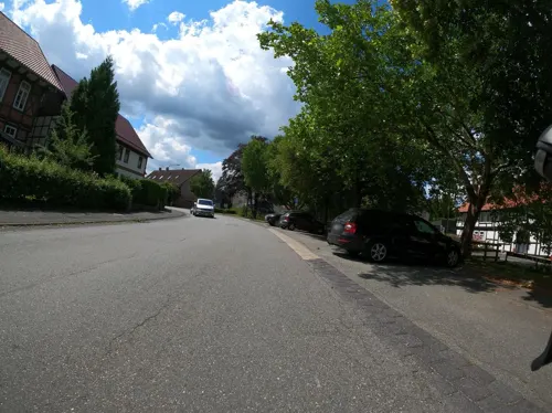
Heimatmuseum Langelsheim
Monument and historic site
10 Mühlenstraße, Langelsheim
Su[1],Su[3] 10:30-12:30; Sa[2],Sa[4] 15:00-17:00

Ehemaliger Haltepunkt Lindthal
Monument and historic site · 5.3 km
Vor dem Bau der Innerstetalsperre verlief die Bahnstrecke Langelsheim-Altenau auf dem Gebiet des heutigen Sees. Bei Niedrigwasser...


Heimatstube Astfeld
Monument and historic site · 3.2 km
12 Hüttenweg, Langelsheim
Sa[1], 15:00-16:00


Parks, trails and playgrounds14





2 more on the map.
Restaurants and cafes47

Akropolis Restaurant am See
Restaurant · Greek · 4.7 km
2 Innerstetalsperre, Langelsheim
Mo, We-Fr 11:30-20:00; Sa-Su 11:30-20:30
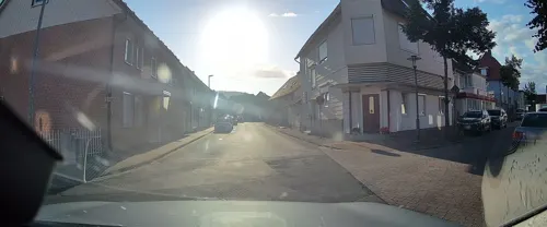
Der Fischmeister
Restaurant · Seafood · 1.4 km
1 Teichweg, Langelsheim
We-Sa 11:30-20:00; Su 11:30-19:00
Pizzeria Capri
Restaurant · Pizza, Italian, Italian Pizza, German · 2.6 km
60 Goslarsche Straße, Langelsheim
Tu-Su 17:00-23:00
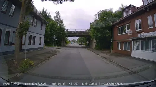
Restaurant "Im Tal"
Restaurant · Pizza
37 Harzstraße, Langelsheim
We-Fr 17:00-21:30; Sa,Su 11:00-13:30, 17:00-21:30
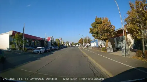
Asia Gourmet
Restaurant · Chinese · 6.0 km
3-5 Bornhardtstraße, Goslar
Mo-Sa 11:30-15:00,17:30-22:30; Su,PH 11:30-23:00

Stadtklause;Ferienwohnung Wicki
Bar and pub
20 Mühlenstraße, Langelsheim
Mo 16:00-22:00; We-Th 16:00-22:00; Fr-Su 11:00-01:00
Bistro Casablanca
Bar and pub
1 Meisterstraße, Langelsheim
Tu-Th 17:30-23:00; Fr-Sa 17:30-00:00; Su 17:30-23:00
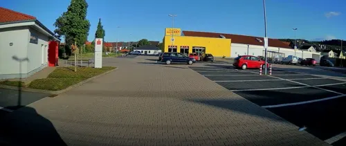
Bäckerei Ruch
Bakery
36 Ringstraße, Langelsheim
Mo-Fr 07:00-18:00; Sa 07:00-17:00; Su off
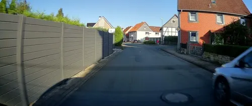
Eiscafé Camilla
Cafe · Ice Cream
10 Freiheitsplatz, Langelsheim
Mo-Sa 09:00-19:00; Su 10:00-19:00
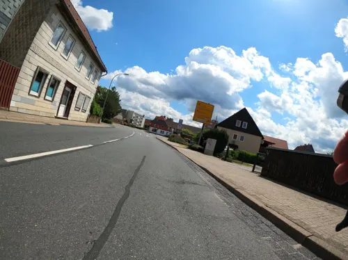


La Fontana
Restaurant · Pizza
2 Seesener Straße, Langelsheim
Tu-Sa 17:30-22:00; Su 12:00-14:00, 17:30-22:00
35 more on the map.
History
The place once called Langenizze developed in the 10th century out of a hill fort at the Kahnstein mountain, erected by the Ottonian dynasty. Langelsheim was the site of historic ironworks, first documented in the 13th century, where ore from the Mines of Rammelsberg was smelted. The former municipalities Hahausen, Lutter am Barenberge and Wallmoden are part of Langelsheim since 1 November 2021.
From the History section of Langelsheim on Wikipedia, under CC BY-SA 4.0.
Where to stay8
Hotel Restaurant Burghagen
Motel and hotel · 3.3 km
14 Burghagenstraße, Langelsheim
Churches and places of worship11
Evangelisches Pfarramt St. Laurentius Astfeld
Church · Lutheran · 2.6 km
1 Am Plan, Langelsheim
Shopping13
Gas and EV charging7
Schools, colleges and libraries7
Healthcare4
Map of Langelsheim
174 places. The map loads OpenStreetMap tiles when you open it.
Getting there and nearby towns
Forschungsflughafen Braunschweig-Wolfsburg (BWE) is the nearest airport with scheduled flights listed in OpenStreetMap, 45 km away.
- Seesen 12 km southwest, about 12 min by car
- Vienenburg 16 km east, about 16 min by car
- Bockenem 16 km northwest, about 16 min by car
- Bad Gandersheim 22 km west, about 22 min by car
- Salzgitter 25 km north, about 25 min by car
- Wolfenbüttel 29 km northeast, about 29 min by car
- Lengede 30 km north, about 30 min by car
- Northeim 34 km southwest, about 34 min by car
- Hildesheim 35 km northwest, about 35 min by car
- Braunschweig 39 km north, about 39 min by car
Drive times are estimates from straight-line distance, not routes.
Local news
Headlines from INDB.
Reviews, tips and questions
Loading what members have shared...
Sources and licences
- GeoNames (CC BY 4.0): population, coordinates, regions and time zone
- Mapillary (see each image): photos
- OpenStreetMap contributors (ODbL 1.0): places, airports, map data
- Wikidata (CC0 1.0): elevation, founding date, time zone, website, landmarks and historic places
- Wikimedia Commons (see each image): photos
- Wikipedia (CC BY-SA 4.0): overview and history text
Photo credits
- Heimatmuseum Langelsheim, Milenavaleska, Public domain
- Langelsheim 01, ErwinMeier, CC BY-SA 4.0
- Langelsheim 02, ErwinMeier, CC BY-SA 4.0
- Langelsheim 03, ErwinMeier, CC BY-SA 4.0
- Langelsheim St. Andreas 01, ErwinMeier, CC BY-SA 4.0
- Langelsheim St. Andreas 02, ErwinMeier, CC BY-SA 4.0
- Langelsheim, die Sankt Andreaskirche IMG 4755 2018-07-03 10.43, Michielverbeek, CC BY-SA 4.0
- Langelsheim St. Andreas 03, ErwinMeier, CC BY-SA 4.0
- Langelsheim Herz Mariä, Rabanus Flavus, CC0
- Langelsheim Herz Mariä Weihnachten, Rabanus Flavus, CC0
- Langelsheim katha, Kirchenfan, CC0
- Langelsheim 04, ErwinMeier, CC BY-SA 4.0
- 24. Mai 2021, Bahnhof Langelsheim, Außenbahnsteig, Nin-TD, CC BY-SA 4.0
- Bahnhof Langelsheim - Baustelle Fußgängerunterführung, 29. August 2021, Till Diegeler, CC BY-SA 4.0
- Bahnhof Langelsheim - Baustelle am Hausbahnsteig, 29. August 2021, Till Diegeler, CC BY-SA 4.0
- Bahnhof Langelsheim, Alte Überdachung Nord, Juni 2023, Nin-TD, CC0
- Bahnhof Langelsheim, Alte Bahnunterführung, 19. Mai 2022, Till-André Diegeler, CC BY-SA 4.0
- Bahnhof Langelsheim - Baustelle am Mittelbahnsteig, 29. August 2021, Till Diegeler, CC BY-SA 4.0
- Bahnhof Langelsheim, 22. Juni 2021 - Nordostblick vom Mittelbahnsteig, Till-André Diegeler, CC BY-SA 4.0
- Bahnhof Langelsheim, Rohbau Neue Unterführung, 12. Januar 2022, Till-André Diegeler, CC BY-SA 4.0
- Bahnhof Langelsheim, 22. Juni 2021 - Unterführungseingang Mittelbahnsteig, Till-André Diegeler, CC BY-SA 4.0
- Bahnhof Langelsheim, Aufzug, 10. März 2022, Till-André Diegeler, CC BY-SA 4.0
- Bahnhof Langelsheim, Eingang neue Unterführung Nord, Juni 2023, Nin-TD, CC0
- Bahnhof Langelsheim, 22. Juni 2021 - Unterführung Nordblick, Till-André Diegeler, CC BY-SA 4.0
- Bahnhof Langelsheim, Aufzug Nord, Juni 2023, Nin-TD, CC0
- Bahnhof Langelsheim, Unterführung, Juni 2023, Nin-TD, CC0
- Bahnhof Langelsheim, Unterführung Ausgang Süd, Juni 2023, Nin-TD, CC0
- Bahnhof Langelsheim, Bahnsteige Ostblick, Juni 2023, Nin-TD, CC0
- Bahnhof Langelsheim, Haus- und Mittelbahnsteig Ostblick, 2022-05-19, Till-André Diegeler, CC BY-SA 4.0
- Domvorhalle goslar, Z thomas, CC BY-SA 4.0
- HahnenkleeStabkircheSued2, User Kassandro on de.wikipedia, CC BY-SA 3.0
- Naturschutzgebiet Appelhorn bei Bredelem, Weißer Weg 1, NSG BR 141, Gartenkater, CC BY-SA 3.0
- Heimberg Wolfshagen, Jsteinbeisser, CC BY-SA 4.0
- Galeriegrab Bredelem 00, Rabanus Flavus, CC0
- Andreaskirche Langelsheim 01, Milenavaleska, Public domain
- Kirche Jerstedt 05, Rabanus Flavus, CC0
- Herz Mariä (Langelsheim), Milenavaleska (shifted, retouched & cropped by Rabanus Flavus ), CC BY 3.0
- Steinbergturm.Goslar, C.Mezzo-1, CC BY-SA 3.0
- KönigsbergWest, Kassandro, CC BY-SA 3.0
- KoenigsbergSanatorium1, Kassandro, CC BY-SA 3.0
- Oberharzbahn, Pechristener File:Germany location map.svg : NordNordWest , Palosirkka , SokoWiki, CC BY-SA 2.0
- Street-level photo, Friesmaker, CC BY-SA 4.0
- Street-level photo, Hightower-, CC BY-SA 4.0
- Street-level photo, Hightower-, CC BY-SA 4.0
- Street-level photo, Langfahrer, CC BY-SA 4.0
- Street-level photo, Friesmaker, CC BY-SA 4.0
- Street-level photo, Hightower-, CC BY-SA 4.0
- Street-level photo, Hightower-, CC BY-SA 4.0
- Street-level photo, Friesmaker, CC BY-SA 4.0
- Street-level photo, Friesmaker, CC BY-SA 4.0
- Street-level photo, Langfahrer, CC BY-SA 4.0
- Street-level photo, Friesmaker, CC BY-SA 4.0
- Street-level photo, Friesmaker, CC BY-SA 4.0
- Street-level photo, bitnapper, CC BY-SA 4.0
- Street-level photo, Friesmaker, CC BY-SA 4.0
- Street-level photo, ManuelH, CC BY-SA 4.0


Page built November 8, 2026. Spotted a mistake? Tell us or suggest a place.