


Bad Rappenau, Germany
Bad Rappenau is a town of 20,581 people in Baden-Wurttemberg, Germany.
Why visit Bad Rappenau
Townapedia lists 98 museums and landmarks, 39 parks and trails, 155 places to eat, 27 places to stay and 28 attractions in and around town.
Highlights include Bio Obsthof Gräßle, Bad Friedrichshall, Burg Guttenberg and Historisches Gasthaus Krone.
Weather in Bad Rappenau
Forecast from MET Norway (CC BY 4.0). Full forecast
About Bad Rappenau
Bad Rappenau (German: [baːt ˈʁapənaʊ] ; South Franconian: Rappene) is a city municipality in the district of Heilbronn in Baden-Württemberg in southern Germany. It is situated about 15 kilometres (9 mi) northwest of Heilbronn.
From the Wikipedia article Bad Rappenau (this version), under CC BY-SA 4.0.
Things to do28


Bad Friedrichshall
Monument and historic site · 8.4 km
Municipality in Germany


Bad Wimpfen
Monument and historic site · 4.5 km
Town in Heilbronn District, Stuttgart Government Region, Baden-Württemberg (Kraichgau), Germany





16 more on the map.
Museums and landmarks98


Historisches Gasthaus Krone
Monument and historic site · 2.7 km
Historisches, schön renoviertes Gasthaus, derzeit nur auf Anfrage geöffnet, kann für Veranstaltungen gemietet werden
9 Rappenauer Straße, Bad Rappenau
"on request"


Hartlesbrunnen
Monument and historic site · 6.0 km
1 Hartlesbrunnen, Heilbronn


Tourist Information
Monument and historic site · 4.5 km
45 Hauptstraße, Bad Wimpfen
Mo-Fr 10:00-12:00,14:00-17:00


Altes Pfarrhaus
Monument and historic site · 4.5 km
Sehenswertes Fachwerkhaus, zweitältestes Gebäude von Fürfeld, 1589 als Pfarrhaus errichtet, zeitweise auch Rathaus
18 Schlossbergstraße, Bad Rappenau


86 more on the map.
Parks, trails and playgrounds39

Solebad
Sports field and stadium · 4.0 km
16 Osterbergstraße, Bad Wimpfen
Tu-Sa 07:00-21:00; Su 08:00-17:00




Motorbootclub Mittlerer Neckar
Marina and boat launch · 4.1 km

Historische Gärten
Park · 4.6 km
Wimpfen am Berg, Burgstaffel Flstnr. 603, 604. Erhaltenswerte Grün- und Freifläche innerhalb der Gesamtanlage gem. § 19 DSchG.
27 more on the map.
Restaurants and cafes155
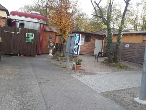
Biergarten Saline
Restaurant · German · 7.0 km
5 Saline, Bad Friedrichshall
Su-Th 11:00-23:00; Fr-Sa 11:00-00:00

Bräustüble Restaurant
Restaurant · Regional, German · 6.6 km
14 Schloßstraße, Gundelsheim
Mo-Su 12:00-14:00,18:00-21:00; Tu,We off
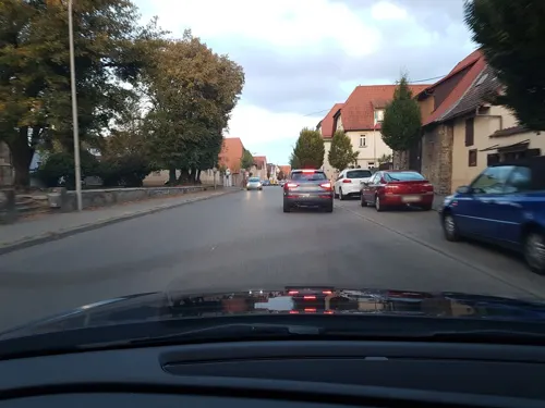
Anker's Restaurant
Restaurant · Italian · 5.7 km
18 Corneliastraße, Bad Wimpfen
Tu-Fr 11:30-14:00, 17:00-22:00; Sa 17:00-22:00; Su 11:30-21:00
Besenwirtschaft Wörner
Restaurant · Regional · 7.1 km
21 Würzburger Straße, Bad Friedrichshall
Mo-Sa 16:00+; Su,PH 11:00+
Bollwerk Lounge
Restaurant · International · 4.8 km
1 Carl-Ulrich-Straße, Bad Wimpfen
Su, Tu-Th 17:00-23:00; Fr-Sa 17:00-02:00
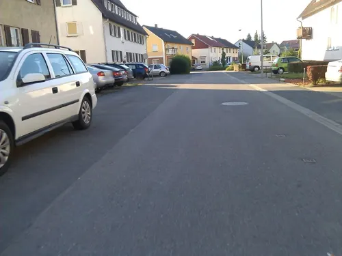
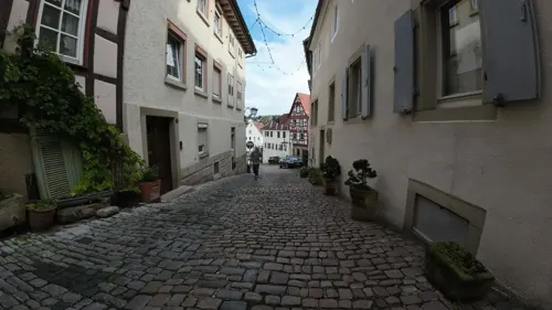
Café Anna Blume
Cafe · German, Breakfast, Coffee Shop · 4.5 km
1 Apothekergasse, Bad Wimpfen
Su 10:00-18:00; Mo,Th-Sa 09:00-18:00



Juelline Schmuckcafe
Cafe · Cake
25 Siegelsbacher Straße, Bad Rappenau
Tu-Fr 10:00-19:00; Sa 10:00-18:00; Su 14:00-19:00
143 more on the map.
History
Rappenau was first mentioned in 1343. According to other sources the village was previously named as Rappenheim due to its founder Rappo who was not in connection with ministerials. It is presumed that the settlement began around the 8th century. In the Middle Ages there were three villages near Rappenau: the upper village, the older lower village, and the no-more existent village Speßhardt, besides several hamlets.
Rappenau belonged to the Lords of Vaihingen and Württemberg until 1339, since 1344 it still only belonged to the Lords of Württemberg. The upper and lower village grew together to a united village, bordering at the Mühlbach in the south. Eberhard von Gemmingen had built a water castle in 1601. In Thirty Years' War the village burned down several times. By the German Mediatisation the village came to Baden in 1806.
After discovering a brine 175m below earth surface in 1822, there were big efforts to use the brine as a remedy. However, Baden had no interests in creating a bath in the first time. So there was founded a community to create the Sophienbad (named after grand duchess Sophie von Baden) on May 15, 1834. Soon it turned out that the bath was unable to be financed, so it had to be closed. In 1845 the brine bath was opened, further increasing its capacity. In 1862 and 1882 a steam bath and brine inhalations were added.
From the History section of Bad Rappenau on Wikipedia, under CC BY-SA 4.0.
Where to stay27
Churches and places of worship47
St. Johannes der Täufer
Church · Roman Catholic · 4.3 km
14 Gundelsheimer Straße, Bad Rappenau
Auferstehungskirche
Church · Roman Catholic · 6.5 km
1 Badstraße, Bad Friedrichshall
Cornelienkirche
Church · Protestant · 6.2 km
32 Jagstfelder Weg, Bad Wimpfen
Dietrich-Bonhoeffer-Kirche
Church · Protestant · 6.1 km
24 Deutschritterstraße, Heilbronn
Dreifaltigkeitskapelle
Church · Catholic · 6.5 km
51 Kapellenweg, Heilbronn
Shopping38
Gas and EV charging18
Schools, colleges and libraries30
Healthcare17
Map of Bad Rappenau
250 places. The map loads OpenStreetMap tiles when you open it.
Getting there and nearby towns
City-Airport Mannheim (MHG) is the nearest airport with scheduled flights listed in OpenStreetMap, 50 km away.
- Bad Friedrichshall 8 km east, about 8 min by car
- Neckarsulm 11 km southeast, about 11 min by car
- Schwaigern 11 km south, about 11 min by car
- Mosbach 13 km north, about 13 min by car
- Heilbronn 14 km southeast, about 14 min by car
- Sinsheim 16 km west, about 16 min by car
- Weinsberg 17 km southeast, about 17 min by car
- Eppingen 18 km southwest, about 18 min by car
- Brackenheim 18 km south, about 18 min by car
- Lauffen am Neckar 19 km south, about 19 min by car
Drive times are estimates from straight-line distance, not routes.
Local news
Headlines from INDB.
Reviews, tips and questions
Loading what members have shared...
Sources and licences
- GeoNames (CC BY 4.0): population, coordinates, regions and time zone
- Mapillary (see each image): photos
- OpenStreetMap contributors (ODbL 1.0): places, airports, map data
- Wikidata (CC0 1.0): elevation, founding date, time zone, website, landmarks and historic places
- Wikimedia Commons (see each image): photos
- Wikipedia (CC BY-SA 4.0): overview and history text
Photo credits
- Bad Rappenau - Kernstadt - Kirchplatz mit Blick nach NO (Januar), Roman Eisele, CC BY-SA 4.0
- Bad Rappenau - Kernstadt - Stadtkirche - Ansicht von Süden in blauer Stunde, Roman Eisele, CC BY-SA 4.0
- Bad Rappenau - Salinenpark - Bienenbäume 01, Llez, CC BY-SA 3.0
- Bad Rappenau - Rathaus 02, Llez, CC BY-SA 3.0
- Bad Rappenau - Rathaus 01, Llez, CC BY-SA 3.0
- 2016.12.28.135835 Apples near Train Station (prolongation Wilhelmstrasse) Bad Rappenau, Hermann Luyken, CC0
- Bad Rappenau - Kirchplatz 01, Llez, CC BY-SA 3.0
- Bad Rappenau - Evangelische Stadtkirche - Südliches Querhaus - Portal 01, Llez, CC BY-SA 3.0
- Bad Rappenau - Evangelische Stadtkirche - Südliches Querhaus 01, Llez, CC BY-SA 3.0
- Bad Rappenau - Evangelische Stadtkirche - Taufbecken 01, Llez, CC BY-SA 3.0
- Bad Rappenau - Evangelische Stadtkirche - Altarfenster 01, Llez, CC BY-SA 3.0
- Bad Rappenau - Evangelische Stadtkirche - Altar 01, Llez, CC BY-SA 3.0
- Bad Rappenau - Evangelische Stadtkirche - Innenraum 02, Llez, CC BY-SA 3.0
- Bad Rappenau - Evangelische Stadtkirche - Nördliches Querhaus 01, Llez, CC BY-SA 3.0
- Bad Rappenau - Evangelische Stadtkirche - Orgel 01, Llez, CC BY-SA 3.0
- Bad Rappenau - Evangelische Stadtkirche - Südliches Querhaus 02, Llez, CC BY-SA 3.0
- Bad Rappenau - Evangelische Stadtkirche - Altarraum 01, Llez, CC BY-SA 3.0
- Bad Rappenau - Evangelische Stadtkirche - Fenster über Westeingang 01, Llez, CC BY-SA 3.0
- Bad Rappenau - Evangelische Stadtkirche - Innenraum 01, Llez, CC BY-SA 3.0
- Bad Rappenau - Evangelische Stadtkirche - Kanzel 01, Llez, CC BY-SA 3.0
- Bad Rappenau - Evangelische Stadtkirche - Deckengewölbe 01, Llez, CC BY-SA 3.0
- Bad Rappenau - Evangelische Stadtkirche - Emporensäule 01, Llez, CC BY-SA 3.0
- Bad Rappenau - Evangelische Stadtkirche 02, Llez, CC BY-SA 3.0
- Bad Rappenau - Evangelische Stadtkirche 03, Llez, CC BY-SA 3.0
- Bad Rappenau - Evangelische Stadtkirche 01, Llez, CC BY-SA 3.0
- Bad Rappenau - Kernstadt - Stadtkirche - Ansicht von WNW mit Abendlicht, Roman Eisele, CC BY-SA 4.0
- Bad Rappenau - Altes Rathaus 01, Llez, CC BY-SA 3.0
- Kochendorf-greckenschloss, p.schmelzle, CC BY-SA 2.5
- Bad Wimpfen - Altstadt - 2017-09-17 18-22-59, Photographs by Radosław Drożdżewski (User:Zwiadowca21), CC BY-SA 4.0
- Neckarsulm-ZweiradMuseum-Innenhof, Joachim Köhler, CC BY-SA 3.0
- Fuerfeld-altesrathaus-1589-2, Peter Schmelzle, CC BY-SA 3.0
- Bad Wimpfen Spital Jan 2014 001, Peter Schmelzle, CC BY-SA 3.0
- Jagstfeld-kathkirche-2008, Schmelzle, CC BY-SA 3.0
- Heinsheim-bergkirche1, p.schmelzle, Public domain
- Bad Rappenau - Heinsheim - Burg Ehrenberg - Ansicht von Norden (1), Roman Eisele, CC BY-SA 4.0
- Wimpfen-cornel-2008, peter schmelzle, CC BY-SA 3.0
- Kirchhausen-ev-d-b-kirche, p.schmelzle, CC BY-SA 3.0
- Wimpfen-dominikaner2008, peter schmelzle, CC BY-SA 3.0
- Kirchhausen-dreifalt2012-1, Peter Schmelzle, CC BY-SA 3.0
- FvA-Gymnasium 0, Sarang, Public domain
- Bad Rappenau - Bonfeld - Evangelische Kirche - Ansicht von NO im Sommer, Roman Eisele, CC BY-SA 4.0
- Fuerfeld-evkirche2010, peter schmelzle, CC BY-SA 3.0
- Hohenstadt-evang-kirche, p.schmelzle, CC BY-SA 3.0
- Bonfeld-krone, peter schmelzle, CC BY-SA 3.0
- Gundelsheim-michaelsberg, Peter Schmelzle, CC BY-SA 3.0
- Gundelsheim-schloss, p.schmelzle, CC BY-SA 2.5
- Vulpius Klinik 2010, Hakape, CC BY-SA 3.0
- Bad Wimpfen Gymnasium Jan 2014 005, Peter Schmelzle, CC BY-SA 3.0
- Jagstfeld-erloeserkirche, peter schmelzle, CC BY-SA 3.0
- Böttinger See, David87hercules, CC BY-SA 4.0
- 180522-03 oberhalb des Mühlbachtal die Hochebene des Unterlandes, R.kaelcke, CC BY-SA 4.0
- DE-BR-bikiniART-03, Balou46, CC BY-SA 4.0
- Bad Wimpfen BW 01, Berthold Werner, CC BY-SA 3.0
- Burg-guttenberg-2008-5b, p.schmelzle, CC BY-SA 3.0
- Biberach-hartlesbrunnen, p.schmelzle, CC BY-SA 3.0
- Stolperstein Bad Wimpfen Marktrain 6 Adolf Baer, Gmbo 2013, CC0
- Stolperstein für Friederike Mannheimer (Bad Wimpfen), Christian Michelides, CC BY-SA 4.0
- Hueffenhardt-franzosenstein, p.schmelzle, CC BY-SA 3.0
- Burg Guttenberg-Burgkapelle 2014 004, Peter Schmelzle, CC BY-SA 3.0
- Bad Rappenau - Kernstadt - Stadtkirche - Ansicht von Süden mit Abendlicht, Roman Eisele, CC BY-SA 4.0
- Auf der Deutsche Greifenwarte Burg Guttenberg - panoramio (1), Klaus Eltrop, CC BY-SA 3.0
- Street-level photo, changchun1, CC BY-SA 4.0
- Street-level photo, wegavision, CC BY-SA 4.0
- Street-level photo, teddy73, CC BY-SA 4.0
- Street-level photo, mfa, CC BY-SA 4.0
- Street-level photo, teddy73, CC BY-SA 4.0
- Street-level photo, changchun1, CC BY-SA 4.0
- Street-level photo, wegavision, CC BY-SA 4.0
- Street-level photo, ottor, CC BY-SA 4.0
- Street-level photo, ottor, CC BY-SA 4.0
- Street-level photo, mikekrajewski, CC BY-SA 4.0
- Street-level photo, teddy73, CC BY-SA 4.0
- Street-level photo, teddy73, CC BY-SA 4.0
- Street-level photo, teddy73, CC BY-SA 4.0
- Street-level photo, changchun1, CC BY-SA 4.0
- Street-level photo, teddy73, CC BY-SA 4.0
- Street-level photo, teddy73, CC BY-SA 4.0
- Street-level photo, changchun1, CC BY-SA 4.0
- Street-level photo, teddy73, CC BY-SA 4.0
- Street-level photo, changchun1, CC BY-SA 4.0
- Street-level photo, teddy73, CC BY-SA 4.0
- Street-level photo, changchun1, CC BY-SA 4.0
- Street-level photo, teddy73, CC BY-SA 4.0
- Street-level photo, changchun1, CC BY-SA 4.0
- Street-level photo, changchun1, CC BY-SA 4.0
- Street-level photo, teddy73, CC BY-SA 4.0
- Street-level photo, changchun1, CC BY-SA 4.0


Page built November 8, 2026. Spotted a mistake? Tell us or suggest a place.