


Bad Zwischenahn, Germany
Bad Zwischenahn is a town of 27,550 people in Lower Saxony, Germany.
Why visit Bad Zwischenahn
Townapedia lists 60 museums and landmarks, 62 parks and trails, 141 places to eat, 42 places to stay and 14 attractions in and around town.
Highlights include Bauerladen Jut's, Eytjehof Hofladen, Burg Elmendorf - Dreibergen and Ehrenfriedhof Edewecht.
Weather in Bad Zwischenahn
Forecast from MET Norway (CC BY 4.0). Full forecast
About Bad Zwischenahn
Bad Zwischenahn (German pronunciation: [baːt ˈtsvɪʃn̩ʔaːn]; Low German: Twüschenahn) is a municipality in the low-lying Ammerland district, in Lower Saxony, Germany. It is on Zwischenahner Meer, approximately 15 km northwest of Oldenburg and about 70 km south of the North Sea coast.
From the Wikipedia article Bad Zwischenahn (this version), under CC BY-SA 4.0.
Travel tips from other travellers: Bad Zwischenahn on Wikivoyage (CC BY-SA 4.0).
Things to do14
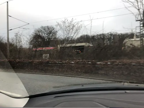
Bauerladen Jut's
Farm and orchard · 1.1 km
1 Anemonenweg, Bad Zwischenahn
Mo-Fr 08:00-17:00; Sa 09:00-13:00
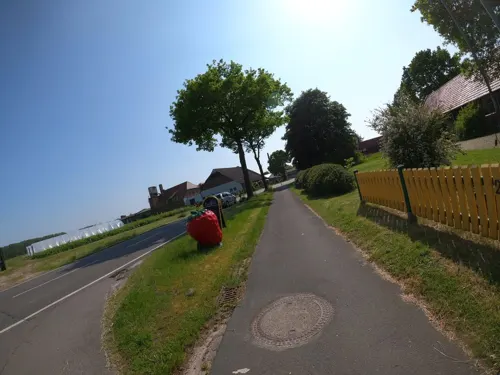
Eytjehof Hofladen
Farm and orchard · 5.8 km
2 Zwischenahner Straße, Wiefelstede
Aug-Apr Mo-Fr 09:00-18:00; Sa 09:00-14:00; PH off; May-Jul Mo-Fr...

Geigers Imkerwelt – Honig Selbstbedienung
Farm and orchard · 1.5 km
Selbstbedienung mit Vertrauenskasse: Honig, Wabenhonig, Bienenwachskerzen und Geschenke. Rund um die Uhr geöffnet. Glasrückgabe vor Ort.
8A Westeresch, Bad Zwischenahn
24/7
Himpsl-Hof
Farm and orchard · 8.3 km
2a Waterkamp, Edewecht
Tu 09:00-18:00; Th-Fr 09:00-18:00; Sa 09:00-12:30

Motormühle Rostrup
Cinema and theater · 1.6 km
1 Alpenrosenweg, Bad Zwischenahn

2 more on the map.
Museums and landmarks60





Bäume der Zukunft - Anpflanzung klimaresistenter Bäume
Monument and historic site · 3.5 km
Esbroker Weg
24/7

Freialtar
Monument and historic site · 8.7 km
Freialtar auf dem Burgplatz Mansingen
Westersteder Straße, Westerstede
48 more on the map.
Parks, trails and playgrounds62

Landerlebnis Janßen
Sports field and stadium · 6.8 km
6 Seghorner Weg, Westerstede
Apr-Oct: Mo-Su,PH 10:00-18:00; Nov-Mar: Fr-Su,PH 10:00-18:00


Mansholter Holz und Schippstroth an der Nutteler und Bokeler Bäke
Hiking and trails · 8.3 km




50 more on the map.
Restaurants and cafes141
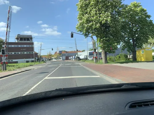
Müller & Egerer Filiale Ocholt
Bakery · 8.1 km
157 Westersteder Straße, Westerstede
Mo-Fr 06:00-19:00, Sa 06:30-17:00, Su 08:00-17:00, PH 08:00-17:00
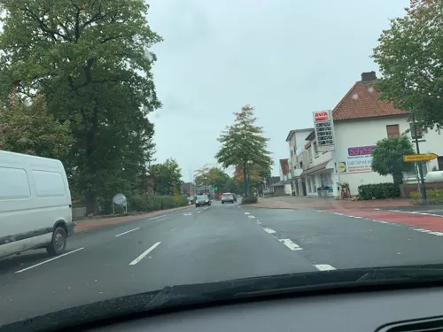
Delikat
Restaurant · German, Regional, Ice Cream
5 Am Badepark, Bad Zwischenahn
Mo-Sa 13:00-21:00; Su,PH 12:00-21:00
Der Löns-Krug
Restaurant · Regional · 2.6 km
35 Wiefelsteder Straße, Bad Zwischenahn
Mo-Su 17:30-22:00; Su 11:30-15:00
Fikensolter Bückelkroog
Restaurant · German · 8.6 km
25 Westersteder Straße, Westerstede
Mo-Sa 17:00+; Su 11:00-14:00,17:00+
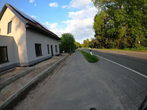
Gristeder Hof to Horn
Restaurant · Regional · 5.3 km
7 Heller Landstraße, Wiefelstede
We-Fr 17:00+, Sa 14:00+, Su 11:00+
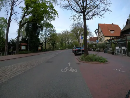
Kalimera
Restaurant · Greek · 0.7 km
23 In der Horst, Bad Zwischenahn
Tu-Fr 17:00-22:00; Sa 12:00-14:30,17:00-22:00; Su,PH 12:00-21:00
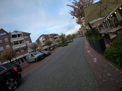
Mr.Trần
Restaurant · Asian, Japanese, Vietnamese
41 Peterstraße, Bad Zwischenahn
Mo,Tu 17:00-22:00; We-Fr 11:00-15:00,17:00-22:00; Sa,Su 11:00-22:00
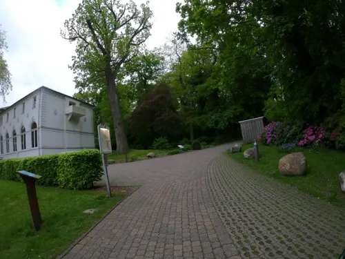
Oscar's Café & Restaurant
Restaurant · Regional, Mediterranean
20 Auf dem Hohen Ufer, Bad Zwischenahn
Tu-Su,PH 11:00-23:00

Restaurant Diakopes
Restaurant · Greek · 8.6 km
2 Süderstraße, Westerstede
We-Sa 17:30-22:00; Su 17:30-21:00
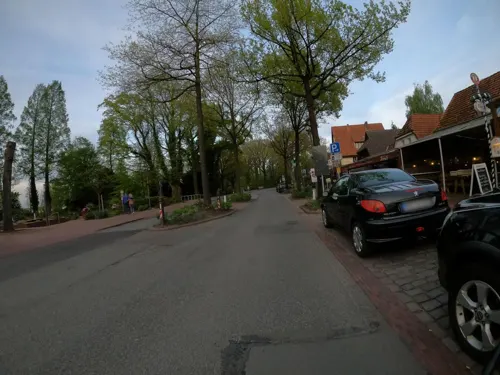


Ristorante da Sergio Bad Zwischenahn
Restaurant · Regional · 0.7 km
19 In der Horst, Bad Zwischenahn
Mo-Su 11:30-22:00
129 more on the map.
History
The first written evidence of Zwischenahn dates back to 1124 in connection with the founding of St. John's Church by Count Egilmar of Oldenburg.
During the Nazi era, Bad Zwischenahn was one of the Nazi strongholds in Ammerland and the whole of Emsland.
During World War II Bad Zwischenahn was home to the largest Luftwaffe airbase in northern Germany, the 'Adlerhorst' military airport in Rostrup (Bad Zwischenahn). From here, Luftwaffe pilots flew their attacks on the Netherlands and Great Britain from May 10, 1940.
Since 1943, the airport was home of the Erprobungskommando 16 service-test unit, then Jagdgeschwader 400 each in their turn operating the Messerschmitt Me 163 Komet rocket fighter from the base. The airbase was heavily bombed in 1944 and 1945. After the war, the airbase was converted to a golf course. In April 1945, Pastor Wilhelm Schulze convinced the German troops to surrender and negotiated with Canadian troops to avoid the destruction of the town.
From the History section of Bad Zwischenahn on Wikipedia, under CC BY-SA 4.0.
Where to stay42
Das 53° Hotel - Kolbs Meerblick-Hotel
Motel and hotel · German · 3.5 km
21-23 Dreiberger Straße, Bad Zwischenahn
Erholungshilfe Sozialtherapeutische Erlebnisreisen e.V.
Motel and hotel · 1.7 km
8 Seerosenweg, Bad Zwischenahn
Churches and places of worship15
Petersfehner Kirche
Church · Evangelical · 8.7 km
83a Mittellinie, Bad Zwischenahn
Neuapostolische Kirche Bad Zwischenahn
Church · 1.1 km
54 Brummerforth, Bad Zwischenahn
Friedhofsvereinigung Ocholt-Howiek e.V.
Place of worship · 8.8 km
47 Godensholter Straße, Westerstede
Katharina-Kirche Rostrup
Church · Lutheran · 1.8 km
2 Zeppelinstraße, Bad Zwischenahn
Shopping44
Gas and EV charging18
Schools, colleges and libraries26
Ev.-luth. Kirchengemeinde "Haus der offenen Tür" mit Gemeindebücherei
Library · 6.2 km
Brakenhoffschule Westerstede - Verlässliche Grundschule
School · 8.9 km
8 Von-Weber-Straße, Westerstede
Healthcare14
Apotheke Friedrichsfehn
Clinic and pharmacy · 9.0 km
23b Friedrichsfehner Straße, Edewecht
Map of Bad Zwischenahn
250 places. The map loads OpenStreetMap tiles when you open it.
Getting there and nearby towns
Flugplatz Varrelbusch (VAC) is the nearest airport with scheduled flights listed in OpenStreetMap, 31 km away.
- Edewecht 6 km south, about 6 min by car
- Westerstede 9 km northwest, about 9 min by car
- Wiefelstede 11 km northeast, about 11 min by car
- Apen 14 km west, about 14 min by car
- Oldenburg 15 km east, about 15 min by car
- Rastede 15 km northeast, about 15 min by car
- Barßel 17 km west, about 17 min by car
- Wardenburg 19 km southeast, about 19 min by car
- Friesoythe 21 km southwest, about 21 min by car
- Varel 25 km north, about 25 min by car
Drive times are estimates from straight-line distance, not routes.
Local news
Headlines from INDB.
Reviews, tips and questions
Loading what members have shared...
Sources and licences
- GeoNames (CC BY 4.0): population, coordinates, regions and time zone
- Mapillary (see each image): photos
- OpenStreetMap contributors (ODbL 1.0): places, airports, map data
- Wikidata (CC0 1.0): elevation, founding date, time zone, website
- Wikimedia Commons (see each image): photos
- Wikipedia (CC BY-SA 4.0): overview and history text
Photo credits
- Bad Zwischenahn Luftbild, De-okin ( talk ) 11:49, 12 April 2009 (UTC), CC BY-SA 3.0
- Hauptschule Bad Zwischenahn, Karsten3000, CC BY-SA 3.0
- Büro SPD Kreisverband Ammerland (Bad Zwischenahn, 2024), JoachimKohler-HB, CC BY-SA 4.0
- Bruns Aale, Peterstr. 9 in Bad Zwischenahn (2026), JoachimKohler-HB, CC BY-SA 4.0
- Dr. Schüßler-Denkmal und Geburtshaus in Bad Zwischenahn (2026), JoachimKohler-HB, CC BY-SA 4.0
- Bahnhofstraße 3 (Ind. Restaurant "Namaste World") in Bad Zwischenahn (2025), JoachimKohler-HB, CC BY-SA 4.0
- DRK Rotes Kreuz in Bad Zwischenahn (2025), JoachimKohler-HB, CC BY-SA 4.0
- Agentur für Arbeit in Bad Zwischenahn (2025), JoachimKohler-HB, CC BY-SA 4.0
- Bad Zwischenahn Fußgängerzone (33134369730), dronepicr, CC BY 2.0
- Bad Zwischenahn, Brunnen mit Skulptur Vogel, Skulptur: ???; Foto: Gerd Fahrenhorst, CC BY 4.0
- Peterstraße 25 (Arkaden Café) in Bad Zwischenahn (2025), JoachimKohler-HB, CC BY-SA 4.0
- Bahnhofsschild Bad Zwischenahn 2006240636, Clic, CC BY-SA 4.0
- Bahnhof Bad Zwischenahn (2021), JoachimKohler-HB, CC BY-SA 4.0
- Bad Zwischenahn, Brunnen mit Skulptur Vogel 2023-04, Gerd Fahrenhorst, CC BY 4.0
- Wochenmarkt in Bad Zwischenahn (2024), JoachimKohler-HB, CC BY-SA 4.0
- Strassenlaterne mit Geranien und Wegweisern in Bad Zwischenahn (2023), JoachimKohler-HB, CC BY-SA 4.0
- Bahnhofsschild Bad Zwischenahn 180419, Clic, CC BY-SA 4.0
- Bad Zwischenahn Zug, -- Xocolatl ( talk ) 17:09, 3 May 2011 (UTC), CC0
- Peterstraße 25 in Bad Zwischenahn (2025), JoachimKohler-HB, CC BY-SA 4.0
- Bad Zwischenahn backt (6), CHR!S, CC BY-SA 4.0
- Bad Zwischenahn backt (4), CHR!S, CC BY-SA 4.0
- Bahnhof Bad Zwischenahn 2023, JoachimKohler-HB, CC BY-SA 4.0
- Bad Zwischenahn backt (1), CHR!S, CC BY-SA 4.0
- Bad Zwischenahn backt (3), CHR!S, CC BY-SA 4.0
- Bad Zwischenahn backt (5), CHR!S, CC BY-SA 4.0
- Bahnhof Bad Zwischenahn mit der RS30 (Stadler Flirt 3 XL) nach Bremen (2023), JoachimKohler-HB, CC BY-SA 4.0
- Bad Zwischenahn backt (7), CHR!S, CC BY-SA 4.0
- Bahnhof Bad Zwischenahn - Gleisseite (2023), JoachimKohler-HB, CC BY-SA 4.0
- 2019-03-28 Nutteler Bäke nahe Wiefelstede, Baur87, CC BY-SA 4.0
- Dänikhorster MoorMoorsee, Monika Hackert, CC BY-SA 3.0
- Bad Zwischenahn - Am Hogen Hagen - Kurpark - Freilichtmuseum Ammerländer Bauernhaus - Spieker 02 ies, Frank Vincentz, CC BY-SA 3.0
- Allee zum Schloss Fikensolt (Westerstede, 2023), JoachimKohler-HB, CC BY-SA 4.0
- Karl-Jaspers-Klinik-Wehnen, De-okin ( talk ) 17:33, 30 March 2013 (UTC), CC BY 3.0
- Oldenburg nach Bad Zwischenahn Landesgartenschau 108, Bin im Garten, CC BY-SA 3.0
- Bad Zwischenahn Johanneskirche, -- Xocolatl ( talk ) 17:25, 14 April 2011 (UTC), CC0
- Bad Zwischenahn - Dreiberger Straße - NSG Dreibergen - Burg Elmendorf - Hügel 1 03 ies, Frank Vincentz, CC BY-SA 3.0
- St. Nikolai-Kirche Edewecht, Helmut Behrends, Freesenweg 41, D-26131 Oldenburg, CC BY-SA 3.0 de
- Fintlandsmoor 2 - 20.04.2019, Olaf Krüper, CC BY-SA 4.0
- NSG Engelsmeer, Monika Hackert, CC BY-SA 3.0
- Ocholt Kirche (2), Reise Reise, CC BY-SA 3.0
- Ocholt Grundschule (1), Reise Reise, CC BY-SA 3.0
- Bad Zwischenahn - Auf dem Hohen Ufer+Fährweg - St.-Marien-Kirche + Mariensäule 01 ies, Frank Vincentz, CC BY-SA 3.0
- Neuapostolische Kirche in Bad Zwischenahn, JoachimKohler-HB, CC BY-SA 4.0
- Torsholter Hauptstraße 44, Eibenhorst-Schule (Förderschule) in Westerstede, JoachimKohler-HB, CC BY-SA 4.0
- Spieker Ammerländer Bauernhaus (32703180523), dronepicr, CC BY 2.0
- Street-level photo, deleted_user, CC BY-SA 4.0
- Street-level photo, deleted_user, CC BY-SA 4.0
- Street-level photo, VIA_KK, CC BY-SA 4.0
- Street-level photo, VIA_KK, CC BY-SA 4.0
- Street-level photo, bejotel, CC BY-SA 4.0
- Street-level photo, VIA_KK, CC BY-SA 4.0
- Street-level photo, moenk, CC BY-SA 4.0
- Street-level photo, VIA_KK, CC BY-SA 4.0
- Street-level photo, VIA_KK, CC BY-SA 4.0
- Street-level photo, VIA_KK, CC BY-SA 4.0
- Street-level photo, huna, CC BY-SA 4.0
- Street-level photo, VIA_KK, CC BY-SA 4.0
- Street-level photo, VIA_KK, CC BY-SA 4.0
- Street-level photo, VIA_KK, CC BY-SA 4.0
- Street-level photo, deleted_user, CC BY-SA 4.0
- Street-level photo, deleted_user, CC BY-SA 4.0
- Street-level photo, deleted_user, CC BY-SA 4.0
- Street-level photo, deleted_user, CC BY-SA 4.0
- Street-level photo, bejotel, CC BY-SA 4.0
- Street-level photo, moenk, CC BY-SA 4.0
- Street-level photo, derlipper, CC BY-SA 4.0
- Street-level photo, deleted_user, CC BY-SA 4.0
- Street-level photo, bejotel, CC BY-SA 4.0
- Street-level photo, VIA_KK, CC BY-SA 4.0
- Street-level photo, VIA_KK, CC BY-SA 4.0


Page built November 8, 2026. Spotted a mistake? Tell us or suggest a place.