


Why visit Barßel
Townapedia lists 25 museums and landmarks, 25 parks and trails, 49 places to eat, 18 places to stay and 11 attractions in and around town.
Highlights include Männeken-Theater & Annes Bühne, Bioziegenhof Barßel, Moor- und Fehnmuseum Elisabethfehn and Schinkenmuseum.
Weather in Barßel
Forecast from MET Norway (CC BY 4.0). Full forecast
About Barßel
Barßel (German pronunciation: [ˈbaʁsl̩]; Low German: Bassel) is a municipality in the district of Cloppenburg, in Lower Saxony, Germany.
From the Wikipedia article Barßel (this version), under CC BY-SA 4.0.
Things to do11


Bioziegenhof Barßel
Farm and orchard · 1.9 km
61 Friesoyther Straße, Barßel
We 13:30-17:00; Sa 10:00-15:00
Eierhof Brands
Farm and orchard · 4.0 km
Deko, Kartoffeln, Sirup, Honig, Eier, Pesto, Nudeln
Mo-Su 08:00-20:00

Fehn Ranch Schütte
Farm and orchard · 3.6 km
8 Tannenstraße, Barßel

Museums and landmarks25

Moor- und Fehnmuseum Elisabethfehn
Museum · 3.2 km
1 Oldenburger Straße, Barßel
Mar 15-Oct 31: Tu-Su 10:00-18:00; PH 10:00-18:00; "nach Vereinbarung"


Hengstforder Mühle
Monument and historic site · 5.8 km
Reetgedeckter Gallerieholländer auf Backstein-Achteck mit Windrose. Besichtigung nach Absprache möglich.
308 Hauptstraße, Apen


Jantina
Monument and historic site · 3.2 km
Genauer Schiffstyp: Tjalk
Kirchenallee, Barßel
Augustfehner Puddelöfen
Monument and historic site · 5.6 km
Geschmiedete 300 kg Stahlklumpen auf Stelen
13 more on the map.
Parks, trails and playgrounds25






Sportboothafen Barßel
Marina and boat launch · 1.0 km
Http://poseidon-barssel.de/html/body_infos_fur_den_barsseler-hafen.html
Bootsanleger Wassersportverein Elisabethfehn e.V.
Marina and boat launch · 5.2 km

13 more on the map.
Restaurants and cafes49
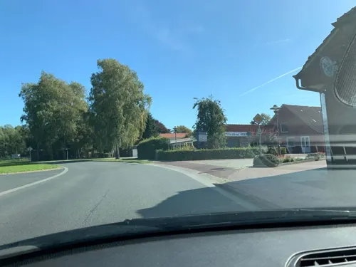
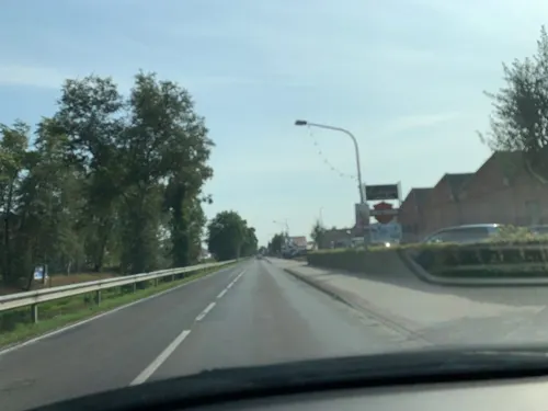
Eisenhütte Augustfehn - Café-Restaurant-Kultur
Restaurant · Regional · 5.6 km
17B Stahlwerkstraße, Apen
Tu-Su 09:00-24:00
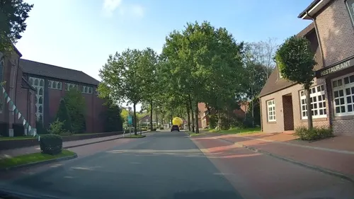
Gasthaus Block
Restaurant · Steak House, German, Salad · 7.3 km
33 Dorfstraße, Barßel
Mo off; Tu-Sa 17:00-22:00; Su 12:00-15:00,17:00-21:30
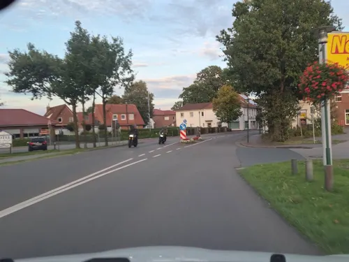
Mama CC
Restaurant · Vietnamese · 0.7 km
18 Auf dem Zetel, Barßel
Th-Sa 11:30-15:00,17:00-22:00; Su, PH 11:30-22:00
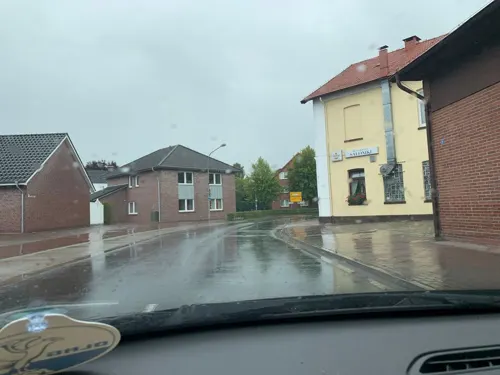
Restaurant Saloniki
Restaurant · Greek · 6.5 km
2 Am Viehmarktplatz, Apen
Mo-Sa 17:30-23:00; Su,PH 12:00-14:30,17:30-23:00
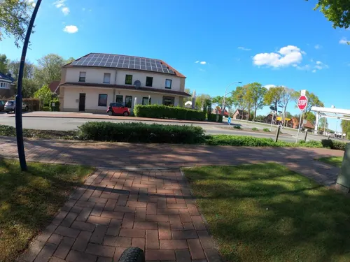
Santorini
Restaurant · Greek · 5.4 km
2 Ramsloher Straße, Barßel
Mo-Sa 17:00-23:00; Tu off; Su 11:30-14:00,17:00-23:00
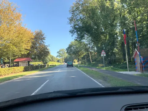
Zur Schanze - Restaurant und Hotel
Restaurant · German · 5.3 km
717 Hauptstraße, Apen
Tu-Fr 12:00-21:00; Sa-Su 10:00-21:00
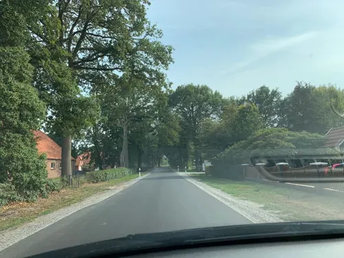


Bistro Cappuccino
Restaurant · 7.2 km
50 Streichenstraße, Apen
Mo,We,Th 16:00-18:00+; Fr,Sa 12:00-14:00,16:00-18:00+; Su,PH 12:00-18:00+


Café Zauberhafte LebenZart
Cafe · 4.9 km
66 Oldenburger Straße, Barßel
We-Sa 09:00-18:00; Su 09:30-18:00
37 more on the map.
Where to stay18
Churches and places of worship15
Evangelisch-Freikirchliche Gemeinde (Baptisten) Elisabethfehn
Church · Baptist · 4.6 km
57 Oldenburger Straße, Barßel
Johanniterkapelle Bokelesch
Place of worship · 5.8 km
6A Johanniterstraße, Saterland
Shopping23
Gas and EV charging6
Schools, colleges and libraries16
Soeste-Schule Barßel - Schulzweig Emotionale und Soziale Entwicklung in Elisabethfehn
School · 5.7 km
102 Schleusenstraße, Barßel
Kath. öffentl. Bücherei St. Georg Strücklingen
Library · 7.4 km
2b Kolpingstraße, Saterland
Healthcare7
Map of Barßel
195 places. The map loads OpenStreetMap tiles when you open it.
Getting there and nearby towns
Flugplatz Varrelbusch (VAC) is the nearest airport with scheduled flights listed in OpenStreetMap, 35 km away.
- Apen 7 km northeast, about 7 min by car
- Ostrhauderfehn 9 km west, about 9 min by car
- Westerstede 15 km northeast, about 15 min by car
- Edewecht 16 km east, about 16 min by car
- Friesoythe 18 km southeast, about 18 min by car
- Leer 20 km west, about 20 min by car
- Papenburg 25 km southwest, about 25 min by car
- Wiefelstede 26 km east, about 26 min by car
- Weener 27 km west, about 27 min by car
- Oldenburg 31 km east, about 31 min by car
Drive times are estimates from straight-line distance, not routes.
Local news
Headlines from INDB.
Reviews, tips and questions
Loading what members have shared...
Sources and licences
- GeoNames (CC BY 4.0): population, coordinates, regions and time zone
- Mapillary (see each image): photos
- OpenStreetMap contributors (ODbL 1.0): places, airports, map data
- Wikidata (CC0 1.0): elevation, founding date, time zone, website
- Wikimedia Commons (see each image): photos
- Wikipedia (CC BY-SA 4.0): overview and history text
Photo credits
- Barßel - Theodor-Klinker-Platz + Rathaus 01 ies, Frank Vincentz, CC BY-SA 3.0
- Iveco Crossway LE Weser-Ems-Bus Barßel, Jacek Rużyczka, CC BY-SA 3.0
- St. Cosmas und Damian Barßel, Gmbo 2013, CC BY-SA 4.0
- Stolpersteine Barßel Hafenstraße 5, Gmbo 2013, CC0
- Stolperstein Barßel Hafenstraße 5 Alexander Hess, Gmbo 2013, CC0
- Stolpersteinlage Barßel Hafenstraße 5, Gmbo 2013, CC0
- Ehrenmal Barßel, Wemken, CC BY-SA 3.0
- Angela von Barßel (14539948241), Hauke Musicaloris, CC BY 2.0
- Barßeler Hafen (2025), NudelSalat91, CC BY 4.0
- Barßel Hafen Leuchtturm, Jacek Rużyczka, CC BY-SA 4.0
- Hafen Barßel, Gmbo 2013, CC BY-SA 4.0
- Barger Meer Luftbild, Snirtje, CC BY-SA 4.0
- Barßel - Moor- und Fehnmuseum (Aussichtsturm) 03 ies, Frank Vincentz, CC BY-SA 3.0
- Saterland - Lärchenstraße - NSG Imkehörn (Aussichtsplattform) 01 ies, Frank Vincentz, CC BY-SA 3.0
- St.-Stephani-und-Bartholomaei-Kirchemsu657, User:Matthias Süßen, CC BY 3.0
- Bokelesch Johanniterkapelle (12), Wikiwal, CC BY 4.0
- Hengstforder Mühle in Apen (2024), JoachimKohler-HB, CC BY-SA 4.0
- Apen, kerk foto2 2010-05-15 15.53, Michielverbeek, CC BY-SA 3.0
- Barßel - Bootshafen - Leuchtturm (Soeste-Hafenbrücke) 01 ies, Frank Vincentz, CC BY-SA 3.0
- Kapelle in Vreschen-Bokel, Helmut Behrends, Freesenweg 41, D-26131 Oldenburg, CC BY-SA 3.0 de
- Schinken Museum in Apen (Hauptstr. 212), JoachimKohler-HB, CC BY-SA 4.0
- Barßel - Hafenstraße - Cosmas und Damian 02 ies, Frank Vincentz, CC BY-SA 3.0
- St. Georg-Kirche zu Strücklingen, Volker.Ramsloh, CC BY-SA 3.0
- Barßel Harkebrügge - Kirchplatz - St. Marien 01 ies, Frank Vincentz, CC BY-SA 3.0
- Barßel - Ramsloher Straße - St. Elisabeth 01 ies, Frank Vincentz, CC BY-SA 3.0
- Johanniterkapelle Bokelesch638, Matthias Süßen, CC BY 3.0
- Barßel - Moor- und Fehnmuseum - Kanalwärterhaus 02 ies, Frank Vincentz, CC BY-SA 3.0
- Rails & Lights (14922453438), Hauke Musicaloris, CC BY 2.0
- Anker-Ehrenmal, Gmbo 2013, CC0
- 'Roter Sand' Replica Lighthose (14563456373), Hauke Musicaloris, CC BY 2.0
- Street-level photo, hotteliene, CC BY-SA 4.0
- Street-level photo, deleted_user, CC BY-SA 4.0
- Street-level photo, camdrive2000, CC BY-SA 4.0
- Street-level photo, deleted_user, CC BY-SA 4.0
- Street-level photo, deleted_user, CC BY-SA 4.0
- Street-level photo, deleted_user, CC BY-SA 4.0
- Street-level photo, hendel, CC BY-SA 4.0
- Street-level photo, hotteliene, CC BY-SA 4.0
- Street-level photo, hotteliene, CC BY-SA 4.0
- Street-level photo, deleted_user, CC BY-SA 4.0
- Street-level photo, deleted_user, CC BY-SA 4.0
- Street-level photo, hotteliene, CC BY-SA 4.0
- Street-level photo, camdrive2000, CC BY-SA 4.0
- Street-level photo, deleted_user, CC BY-SA 4.0
- Street-level photo, deleted_user, CC BY-SA 4.0
- Street-level photo, deleted_user, CC BY-SA 4.0
- Street-level photo, deleted_user, CC BY-SA 4.0
- Street-level photo, deleted_user, CC BY-SA 4.0
- Street-level photo, deleted_user, CC BY-SA 4.0
- Street-level photo, deleted_user, CC BY-SA 4.0
- Street-level photo, camdrive2000, CC BY-SA 4.0
- Street-level photo, hendel, CC BY-SA 4.0
- Street-level photo, hendel, CC BY-SA 4.0
- Street-level photo, hotteliene, CC BY-SA 4.0


Page built November 8, 2026. Spotted a mistake? Tell us or suggest a place.