


Why visit Varel
Townapedia lists 72 museums and landmarks, 42 parks and trails, 117 places to eat, 16 places to stay and 6 attractions in and around town.
Highlights include Jaderpark, Eekenhof, Kaskade-Infohaus Wasser and Galerie Schönhof.
Weather in Varel
Forecast from MET Norway (CC BY 4.0). Full forecast
About Varel
Varel (German pronunciation: [ˈfaːʁəl] ) is a town in the district of Friesland, in Lower Saxony, Germany. It is situated near the Jade River and the Jade Bight, approximately 15 kilometres (9.3 mi) south of Wilhelmshaven and 30 kilometres (19 mi) north of Oldenburg. With a population of 23,984 (2020) it is the biggest town in the district of Friesland.
From the Wikipedia article Varel (this version), under CC BY-SA 4.0.
Travel tips from other travellers: Varel on Wikivoyage (CC BY-SA 4.0).
Things to do6




Museums and landmarks72
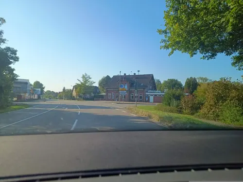
Kaskade-Infohaus Wasser
Museum · 7.0 km
2 Bäderstraße, Jade
Mo-Tu,Th-Fr 10:00-12:00; We 14:00-17:00; Su 13:00-18:00
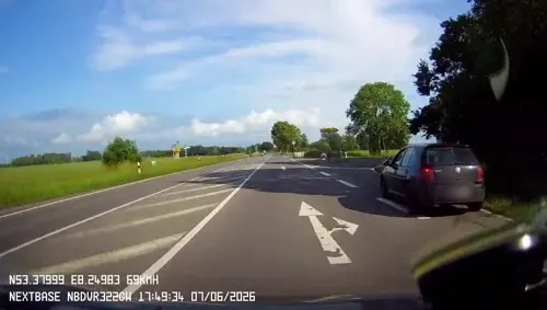




Wasserturm Varel
Monument and historic site · 1.5 km
62 Oldenburger Straße, Varel
Apr-Oct 08:00-17:00; Nov-Mar 08:00-16:00



60 more on the map.
Parks, trails and playgrounds42

DanGast Quellbad
Sports field and stadium · 6.0 km
61 Edo-Wiemken-Straße, Varel
May-Oct 10:00-20:00; Nov-Apr Mo-Fr 14:00-20:00, Sa-Su 10:00-20:00


Jade Yacht-Club Dangast-Varel (JYC Dangast-Varel)
Marina and boat launch · 5.8 km


30 more on the map.
Restaurants and cafes117

Bistro Kulturhus
Restaurant · German, Pizza, Greek, Kebab · 7.5 km
10 Tiergartenstraße, Jade
Mo-Su 18:00-22:00
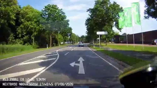
Burger Stop
Restaurant · Burger · 0.8 km
1 Gertrud-Barthel-Straße, Varel
Tu-Fr 12:00-21:30; Sa,Su 16:30-21:30
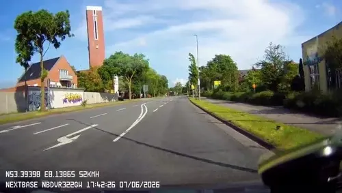
Bäckerei Tönjes
Bakery
Bäckerei mit Café
9 Bürgermeister-Heidenreich-Straße, Varel
Mo-Fr 06:30-18:00; Sa 06:30-17:00; Su 08:00-17:00
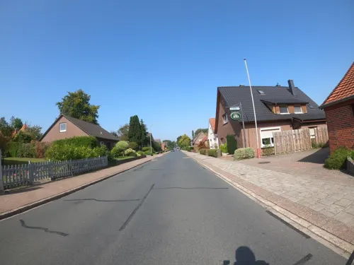
Büppeler Krug
Restaurant · Regional · 2.3 km
54 Bürgermeister-Osterloh-Straße, Varel
Mo-Fr 16:00+, Sa 15:30+, Su 10:30+
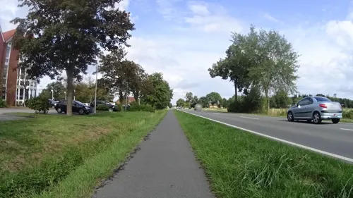
Café & Restaurant "Weitblick"
Restaurant · German · 8.0 km
49 Hilgenholter Straße, Bockhorn
Apr-Sep: Mo-Sa 09:30-14:00; Oct-Mar: Mo-Sa 09:30-17:00
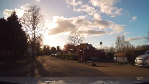

Fröllje
Bakery · Bakery · 6.1 km
60 Edo-Wiemken-Straße, Varel
Mar Su[-1]-Oct Su[-1] -1 day: 07:00-18:00; Oct Su[-1]-Mar Su[-1]...
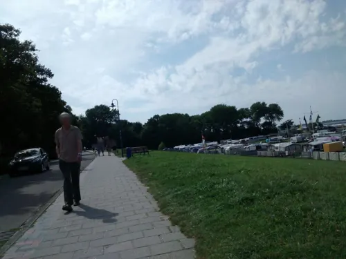
Osteria La Grappa
Restaurant · Italian · 8.1 km
6 Steinhauser Straße, Bockhorn
12:00-14:00; 17:30-23:00


105 more on the map.
Where to stay16
Churches and places of worship15
St. Bonifatius Kirche
Church · Roman Catholic
4 Bürgermeister-Heidenreich-Straße, Varel
St.-Cosmas-und-Damian-Kirche
Church · Evangelical · 8.1 km
Lauwstraße, Bockhorn
Jehovas Zeugen Versammlung Bockhorn e.V.
Church · Jehovahs Witness · 7.8 km
25 Fichtenstraße, Bockhorn
Shopping36
Gas and EV charging12
Schools, colleges and libraries35
Healthcare9
Map of Varel
250 places. The map loads OpenStreetMap tiles when you open it.
Getting there and nearby towns
JadeWeserAirport (WVN) is the nearest airport with scheduled flights listed in OpenStreetMap, 13 km away.
- Zetel 11 km west, about 11 min by car
- Wilhelmshaven 17 km north, about 17 min by car
- Wiefelstede 16 km south, about 16 min by car
- Westerstede 21 km southwest, about 21 min by car
- Friedeburg 21 km west, about 21 min by car
- Wiesmoor 27 km west, about 27 min by car
- Oldenburg 29 km south, about 29 min by car
- Apen 29 km southwest, about 29 min by car
- Wittmund 31 km northwest, about 31 min by car
- Bremerhaven 34 km northeast, about 34 min by car
Drive times are estimates from straight-line distance, not routes.
Local news
Headlines from INDB.
Reviews, tips and questions
Loading what members have shared...
Sources and licences
- GeoNames (CC BY 4.0): population, coordinates, regions and time zone
- Mapillary (see each image): photos
- OpenStreetMap contributors (ODbL 1.0): places, airports, map data
- Wikidata (CC0 1.0): elevation, founding date, time zone, website
- Wikimedia Commons (see each image): photos
- Wikipedia (CC BY-SA 4.0): overview and history text
Photo credits
- Varel Schlosskirche Nordwand Fenster001, Sipalius, CC BY-SA 4.0
- 00 2115 Schlosskirche St. Petri (Varel), W. Bulach, CC BY-SA 4.0
- Varel Schlosskirche Gefallenendenkmal 01, Rabanus Flavus, CC0
- Germania-Denkmal 1870-71 in Varel 2, Gerd Fahrenhorst, CC BY 4.0
- Germania-Denkmal 1870-71 in Varel 1, Gerd Fahrenhorst, CC BY 4.0
- Varel Schlosskirche Gefallenendenkmal 02, Rabanus Flavus, CC0
- Kriegerdenkmal Erster Weltkrieg in Varel 3, Gerd Fahrenhorst, CC BY 4.0
- Schlossplatz in Varel (Mai 2010), JoachimKohler-HB, CC BY-SA 4.0
- 00 0112 Varel - Amtsgericht, W. Bulach, CC BY-SA 4.0
- Kriegerdenkmal Erster Weltkrieg in Varel 2, Gerd Fahrenhorst, CC BY 4.0
- Kriegerdenkmal Erster Weltkrieg in Varel 1, Gerd Fahrenhorst, CC BY 4.0
- Grundschule am Schlossplatz in Varel, Gerd Fahrenhorst, CC BY 4.0
- Pfarrhaus Schlossplatz 3 in Varel, Gerd Fahrenhorst, CC BY 4.0
- Schlossplatz 14, Varel, Gerd Fahrenhorst, CC BY 4.0
- Schlossmodell auf dem Schlossplatz in Varel 2, Gerd Fahrenhorst, CC BY 4.0
- Schlossmodell auf dem Schlossplatz in Varel 1, Gerd Fahrenhorst, CC BY 4.0
- Varel Theologischer Seehund 01, Rabanus Flavus, CC0
- Kunstwerk auf dem Schlossplatz in Varel, Gerd Fahrenhorst, CC BY 4.0
- Schlossplatz 12, Varel, Gerd Fahrenhorst, CC BY 4.0
- Schlossplatz 4, Varel, Gerd Fahrenhorst, CC BY 4.0
- Schlossplatz 6, Varel, Schloss-Café, Gerd Fahrenhorst, CC BY 4.0
- Schlossplatz 2, Varel, Gerd Fahrenhorst, CC BY 4.0
- Windallee 1, Varel, Gerd Fahrenhorst, CC BY 4.0
- Varel Theologischer Seehund 02, Rabanus Flavus, CC0
- Schlossplatz 8, Varel, Gerd Fahrenhorst, CC BY 4.0
- Varel Schlosskirche Turm von NO001, Sipalius, CC BY-SA 4.0
- Varel Schlossplatz Schlosskirche, Rabanus Flavus, CC0
- Varel Schlosskirche Innen 02, Rabanus Flavus, CC0
- Varel Schlosskirche Innen 01, Rabanus Flavus, CC0
- Varel Schlosskirche Ost, Rabanus Flavus, CC0
- Varel Schlosskirche Innen 03, Rabanus Flavus, CC0
- Varel Schlosskirche Innen 04, Rabanus Flavus, CC0
- Varel Schlosskirche Nordost, Rabanus Flavus, CC0
- Varel Schlosskirche Orgel, Rabanus Flavus, CC0
- Hindenburgstraße 2, Varel, Gerd Fahrenhorst, CC BY 4.0
- Windallee 2, Varel, Gerd Fahrenhorst, CC BY 4.0
- Bücherschrank Varel, Clic, CC BY-SA 4.0
- Die Krabbenpulerin (Varel) 1, Gerd Fahrenhorst, CC BY 4.0
- Windallee 9, Varel, Gerd Fahrenhorst, CC BY 4.0
- Driefeler Wiesen 02 (NSG WE 250), Utz Wöhleke, CC BY-SA 4.0
- Varler windmuehle 01, Kuebi = Armin Kübelbeck, CC BY-SA 3.0
- Jaderpark, Wilfried Wittkowsky, CC BY-SA 3.0
- Waisenhaus in Varel 01, Dickelbers, CC BY-SA 3.0
- Vareler Baptistenkirche Friedenskirche, Dr. Dirk Sager / alle Verwertungsrechte bei GregorHelms at German Wikipedia, CC BY-SA 3.0 de
- St. Bonifatius Varel 03, Rabanus Flavus, CC0
- Lothar-Meyer-Gymnasium Varel, Hauptgebäude, Berliner Kartenspieler, CC BY-SA 4.0
- 40931 Bockhorn (FRI) Nordwand + Turm v NO, ~~, CC BY-SA 4.0
- Neumarktplatz 3a, Heimatmuseum, Gerd Fahrenhorst, CC BY 4.0
- Street-level photo, zuse, CC BY-SA 4.0
- Street-level photo, derlipper, CC BY-SA 4.0
- Street-level photo, derlipper, CC BY-SA 4.0
- Street-level photo, derlipper, CC BY-SA 4.0
- Street-level photo, VIA_KK, CC BY-SA 4.0
- Street-level photo, Schmarvis, CC BY-SA 4.0
- Street-level photo, 48d9dc, CC BY-SA 4.0
- Street-level photo, 48d9dc, CC BY-SA 4.0
- Street-level photo, thetornado76, CC BY-SA 4.0
- Street-level photo, thetornado76, CC BY-SA 4.0
- Street-level photo, ramap, CC BY-SA 4.0
- Street-level photo, Isilcalgan, CC BY-SA 4.0
- Street-level photo, Schmarvis, CC BY-SA 4.0
- Street-level photo, derlipper, CC BY-SA 4.0
- Street-level photo, Schmarvis, CC BY-SA 4.0
- Street-level photo, heetENkoel, CC BY-SA 4.0
- Street-level photo, deleted_user, CC BY-SA 4.0
- Street-level photo, moenk, CC BY-SA 4.0
- Street-level photo, changchun1, CC BY-SA 4.0
- Street-level photo, changchun1, CC BY-SA 4.0
- Street-level photo, zuse, CC BY-SA 4.0
- Street-level photo, atze02, CC BY-SA 4.0
- Street-level photo, atze02, CC BY-SA 4.0
- Street-level photo, derlipper, CC BY-SA 4.0


Page built November 8, 2026. Spotted a mistake? Tell us or suggest a place.