


Baiersbronn, Germany
Baiersbronn is a town of 16,248 people in Baden-Wurttemberg, Germany.
Why visit Baiersbronn
Townapedia lists 70 museums and landmarks, 52 parks and trails, 149 places to eat, 83 places to stay and 81 attractions in and around town.
Highlights include Central Kino, Friedrichsturm, Experimenta Freudenstadt and All Saints' Abbey.
Weather in Baiersbronn
Forecast from MET Norway (CC BY 4.0). Full forecast
About Baiersbronn
Baiersbronn (German pronunciation: [ˈbaɪɐsˌbʁɔn]) is a municipality and a village in the district of Freudenstadt in Baden-Württemberg in southern Germany. It is situated in the Black Forest on the Murg river. Nearby is the mountain of Rinkenkopf (759.6 m) with its hillfort, the Rinkenwall.
From the Wikipedia article Baiersbronn (this version), under CC BY-SA 4.0.
Travel tips from other travellers: Baiersbronn on Wikivoyage (CC BY-SA 4.0).
Things to do81




69 more on the map.
Museums and landmarks70

Experimenta Freudenstadt
Museum · 5.1 km
Das ErlebnisMuseum - Das verrückte ErlebnisMuseum zum Mitmachen und Ausprobieren - verblüffend und überraschend!
6 Musbacher Straße, Freudenstadt
Mo-Su 10:00-18:00


Röschenschanze
Monument and historic site · 10.2 km
Archaeological site in Germany





58 more on the map.
Parks, trails and playgrounds52

Panorama Freibad
Sports field and stadium · 4.5 km
Freibad
60 Ludwig-Jahn-Straße, Freudenstadt
Mo 10:00-20:00; Tu-Sa 06:00-20:00; Su 08:00-20:00
Panorama-Bad
Sports field and stadium · 4.3 km
60 Ludwig-Jahn-Straße, Freudenstadt
Mo 10:00-22:00; Tu-Sa 08:00-22:00; PH,Su 08:00-20:00

Black Forest National Park
Park · 13.1 km
National park in Baden-Württemberg, Germany



Schwimmbad Wittlensweiler
Sports field and stadium · 6.5 km
9 Höhenweg, Freudenstadt
Mo 18:30-21:00; Tu 06:45-07:45,14:30-20:00; We 17:00-20:30; Th...

40 more on the map.
Restaurants and cafes149
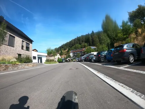
Schwarzwaldstube
Restaurant · German, French · 4.0 km
237 Tonbachstraße, Baiersbronn
We-Fr 19:00-22:00; Sa,Su 12:00-14:00,19:00-22:00; Mo,Tu off
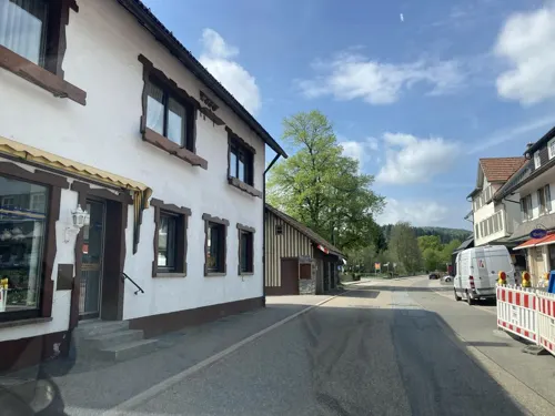

Seidtenhof
Restaurant · Regional · 2.0 km
SB-Hofladen / Hofladen mit Bedienung nur Samstags 10-14 Uhr
46 Reichenbacher Weg, Baiersbronn
Su,PH 12:00-19:00
Akropolis
Restaurant · Greek · 5.9 km
Sehr gute! Alternative zur Bahnhofswartehalle
Tu-Su 11:00-14:00,17:00-23:00
Bären
Restaurant · German · 5.1 km
33 Lange Straße, Freudenstadt
Tu,We 18:00-22:00; Fr,Sa 18:00-22:00; Su 11:45-14:30
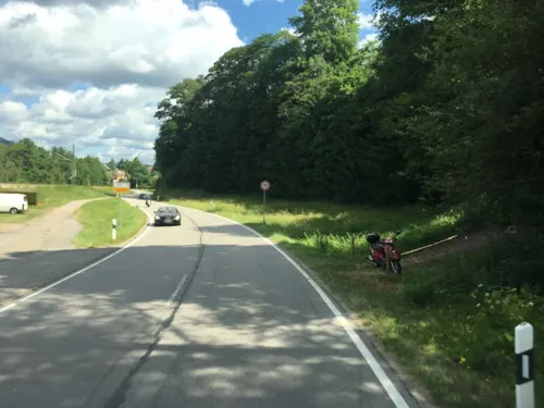

Café Müller
Cafe · 4.8 km
Brötchen-verkauf Su ab 06:00
12 Martin-Luther-Straße, Freudenstadt
Mo-Sa 08:00-17:00
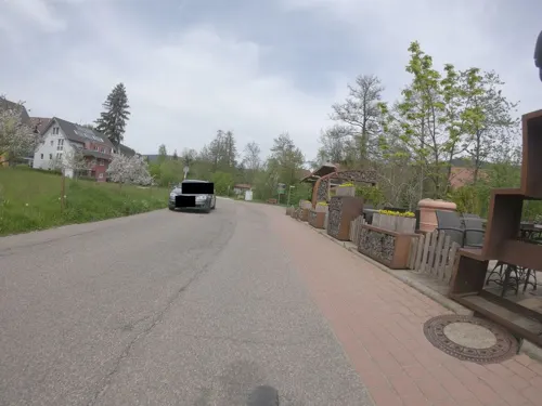


Friedrichs am Kienberg
Restaurant · Regional · 6.0 km
33 Herzog-Friedrich-Straße, Freudenstadt
May-Aug Tu-Su 11:00-20:00; Sep We-Su 11:00-20:00; Oct-Apr We-Su 11:00-18:00
Osteria D'Orazio
Restaurant · Italian · 5.4 km
10 Lauterbadstraße, Freudenstadt
Mo-Sa 17:00-23:30; Tu off; Su 12:00-15:00,17:00-22:00
Pizza Express il pianeta
Restaurant · Italian · 5.1 km
13 Stuttgarter Straße, Freudenstadt
Mo-Fr 11:00-14:00,17:00-22:00; Sa,Su 11:00-22:00
137 more on the map.
Where to stay83
Churches and places of worship40
Ev.-meth. Friedenskirche
Church · Methodist · 5.1 km
23 Stuttgarter Straße, Freudenstadt
Münsterkirche
Church · Protestant · 3.1 km
164 Murgtalstraße, Baiersbronn
Königreichssaal der Zeugen Jehovas
Church · Jehovahs Witness · 6.6 km
21 Rudolf-Diesel-Straße, Freudenstadt
Shopping43
Gas and EV charging18
AVIA Xpress Automatenstation
Gas station · 5.9 km
72 Wittlensweilerstraße, Freudenstadt
Schools, colleges and libraries24
Heinrich-Schickhardt-Schule (Gewerblich-Technische Schulen)
School · 4.8 km
40 Eugen-Nägele-Straße, Freudenstadt
Eduard-Spranger-Schule (Kaufmännische Schulen)
School · 4.8 km
40 Eugen-Nägele-Straße, Freudenstadt
Healthcare13
Fachklinik Wiesengrund
Clinic and pharmacy · 5.9 km
1 Ellbachseeweg, Freudenstadt
Ambulantes Operationszentrum
Clinic and pharmacy · 5.6 km
57 Straßburger Straße, Freudenstadt
Map of Baiersbronn
250 places. The map loads OpenStreetMap tiles when you open it.
Getting there and nearby towns
Airport Karlsruhe/Baden-Baden (FKB) is the nearest airport with scheduled flights listed in OpenStreetMap, 38 km away.
- Freudenstadt 5 km southeast, about 5 min by car
- Oberkirch 22 km west, about 22 min by car
- Horb am Neckar 24 km east, about 24 min by car
- Sulz am Neckar 25 km southeast, about 25 min by car
- Nagold 26 km east, about 26 min by car
- Bühl 28 km northwest, about 28 min by car
- Gengenbach 29 km west, about 29 min by car
- Gernsbach 30 km north, about 30 min by car
- Schramberg 31 km south, about 31 min by car
- Offenburg 32 km west, about 32 min by car
Drive times are estimates from straight-line distance, not routes.
Local news
Headlines from INDB.
Reviews, tips and questions
Loading what members have shared...
Sources and licences
- GeoNames (CC BY 4.0): population, coordinates, regions and time zone
- Mapillary (see each image): photos
- OpenStreetMap contributors (ODbL 1.0): places, airports, map data
- Wikidata (CC0 1.0): elevation, founding date, time zone, website, landmarks and historic places
- Wikimedia Commons (see each image): photos
- Wikipedia (CC BY-SA 4.0): overview and history text
Photo credits
- Baiersbronn 2012, Helmlechner, CC BY-SA 4.0
- Baiersbronn, Landschaft um den Ort, Dguendel, CC BY 4.0
- Baiersbronn, in der Oberdorfstraße, Dguendel, CC BY 4.0
- Baiersbronn, die Oberdorfstraße, Dguendel, CC BY 4.0
- Baiersbronn, das Rathaus, Dguendel, CC BY 4.0
- Baiersbronn-Rathaus-12-Marienkirche-2025-gje, Gerd Eichmann, CC BY 4.0
- Baiersbronn-Richard-von-Weizsaecker-Gymnasium-02-2025-gje, Gerd Eichmann, CC BY 4.0
- Baiersbronn, das Hauff's Märchenmuseum, Dguendel, CC BY 4.0
- Baiersbronn-Richard-von-Weizsaecker-Gymnasium-06-2025-gje, Gerd Eichmann, CC BY 4.0
- Baiersbronn-Richard-von-Weizsaecker-Gymnasium-04-2025-gje, Gerd Eichmann, CC BY 4.0
- Baiersbronn-Richard-von-Weizsaecker-Gymnasium-08-2025-gje, Gerd Eichmann, CC BY 4.0
- Baiersbronn-Kirche, Dguendel, CC BY-SA 3.0
- Baiersbronn-Marienkirche-12-2025-gje, Gerd Eichmann, CC BY 4.0
- Baiersbronn-Marienkirche-14-Museum-2025-gje, Gerd Eichmann, CC BY 4.0
- Baiersbronn-Marienkirche-10-2025-gje, Gerd Eichmann, CC BY 4.0
- Baiersbronn-Pfarramt-02-2025-gje, Gerd Eichmann, CC BY 4.0
- Baiersbronn-Marienkirche-08-2025-gje, Gerd Eichmann, CC BY 4.0
- Baiersbronn-Altes Schulhaus-10-Oberdorfstr-Nr53-2025-gje, Gerd Eichmann, CC BY 4.0
- Baiersbronn-Altes Schulhaus-04-Oberdorfstr-Nr53-2025-gje, Gerd Eichmann, CC BY 4.0
- Baiersbronn-Altes Schulhaus-06-Oberdorfstr-Nr53-2025-gje, Gerd Eichmann, CC BY 4.0
- Baiersbronn-Rathaus-10-2025-gje, Gerd Eichmann, CC BY 4.0
- Baiersbronn-Rathaus-04-2025-gje, Gerd Eichmann, CC BY 4.0
- Baiersbronn-Museum-04-2025-gje, Gerd Eichmann, CC BY 4.0
- Baiersbronn-Marienkirche-04-2025-gje, Gerd Eichmann, CC BY 4.0
- Baiersbronn-Rathaus-08-2025-gje, Gerd Eichmann, CC BY 4.0
- Baiersbronn-Marienkirche-02-2025-gje, Gerd Eichmann, CC BY 4.0
- Baiersbronn-Marienkirche-06-2025-gje, Gerd Eichmann, CC BY 4.0
- Baiersbronn-Altes Schulhaus-08-Oberdorfstr-Nr53-2025-gje, Gerd Eichmann, CC BY 4.0
- Baiersbronn-Rathaus-06-2025-gje, Gerd Eichmann, CC BY 4.0
- Baiersbronn-Altes Schulhaus-02-Oberdorfstr-Nr53-2025-gje, Gerd Eichmann, CC BY 4.0
- Baiersbronn-Ausblick-04-vom Uhlandweg-2025-gje, Gerd Eichmann, CC BY 4.0
- Baiersbronn, Ortsansicht-1, Dguendel, CC BY 4.0
- Baiersbronn-Kirche-2, Dguendel, CC BY-SA 3.0
- Baiersbronn, Ortsansicht-2, Dguendel, CC BY 4.0
- Baiersbronn-Gasthof Falken-04-Nasenschild-2025-gje, Gerd Eichmann, CC BY 4.0
- Baiersbronn-Gasthof Falken-02-Nasenschild-2025-gje, Gerd Eichmann, CC BY 4.0
- Baiersbronn, der Kurgarten, Dguendel, CC BY 4.0
- Baiersbronn-Friedhof-20-Leichenhalle-2025-gje, Gerd Eichmann, CC BY 4.0
- Baiersbronn-Bahnhof-02-2025-gje, Gerd Eichmann, CC BY 4.0
- Baiersbronn-Bahnhof-04-2025-gje, Gerd Eichmann, CC BY 4.0
- Burgbachwasserfall IMG 3048, Alexander Migl, CC BY-SA 4.0
- Sankenbach-Fall, Ikar.us, CC BY 3.0 de
- Allerheiligen Klosterruine, User:Kerish, CC BY-SA 3.0
- Roeschengraben, UlrichClassen (as Sailor272 ), CC BY-SA 3.0
- Huzenbachersee, Hans-Joerg Groß (= Hajott59 ), CC BY-SA 3.0
- Klosterreichenbach innenhof2008, 2micha, CC BY-SA 3.0
- Landappbw 815698 1817 Klosterruine Kniebis, Till Spiegel, CC0
- Kongresszentrum Freudenstadt 2011, Felix König, CC BY 3.0
- Baiersbronn Tonbach - Tonbachstraße + Traube 02 ies, Frank Vincentz, CC BY-SA 3.0
- Hotel Bareiss (10561983586), Roman Boed from The Netherlands, CC BY 2.0
- NSG Stockerbachtal, Friedi13, CC BY-SA 4.0
- NSG Forchenkopf, Friedi13, CC BY-SA 4.0
- NSG Benzinger Berg, Friedi13, CC BY-SA 4.0
- Alexanderschanze Ost2, Wstenschke, CC0
- Taborkirche Freudenstadt Suedseite, Mizwa, CC BY-SA 4.0
- Heselbach Südost, Moleskine, CC BY-SA 4.0
- Friedrichsturm (Freudenstadt)-01, Muck, CC BY-SA 4.0
- Kurhaus Palmenwald, Freudenstadt, 2009, IMGP3140, Sitacuisses, CC BY-SA 3.0
- Klosterreichenbach-Kirche-3, SchiDD, CC BY-SA 4.0
- Stadtkirche Freudenstadt 1. Juli 2019 (15), Wald-Burger8, CC BY-SA 4.0
- FDS ev.-meth. Friedenskirche, Felix Löwe, CC BY-SA 4.0
- Dreifürstenstein Alexanderschanze 06, Badener, CC BY-SA 3.0
- Betonsockel, UlrichClassen (as Sailor272 ), CC BY-SA 4.0
- Museum Königshammer (1), Stefan Karl, CC BY-SA 4.0
- Rinkenmauer (1), Stefan Karl, CC BY-SA 4.0
- Michaelskirche Baiersbronn, Stefan Karl, CC BY-SA 4.0
- Kulturpark Glashütte Buhlbach Übersicht, Luthermütze, CC BY-SA 4.0
- Street-level photo, plexi32, CC BY-SA 4.0
- Street-level photo, tasmaniadevil, CC BY-SA 4.0
- Street-level photo, nakaner, CC BY-SA 4.0
- Street-level photo, nakaner, CC BY-SA 4.0
- Street-level photo, nakaner, CC BY-SA 4.0
- Street-level photo, yaron, CC BY-SA 4.0
- Street-level photo, rausk, CC BY-SA 4.0
- Street-level photo, thetornado76, CC BY-SA 4.0
- Street-level photo, changchun1, CC BY-SA 4.0
- Street-level photo, karthoo, CC BY-SA 4.0
- Street-level photo, tasmaniadevil, CC BY-SA 4.0
- Street-level photo, thetornado76, CC BY-SA 4.0
- Street-level photo, xdTAGCLAN, CC BY-SA 4.0


Page built November 8, 2026. Spotted a mistake? Tell us or suggest a place.