


Why visit Bühl
Townapedia lists 62 museums and landmarks, 51 parks and trails, 177 places to eat, 27 places to stay and 62 attractions in and around town.
Highlights include Bio Gärtnerei Schmälzle, Hofladen Aspichhof, Museum Geiserschmiede and Burg Windeck.
Weather in Bühl
Forecast from MET Norway (CC BY 4.0). Full forecast
About Bühl
The city of Bühl (German pronunciation: [byːl] ; Low Alemannic: Bihl) is part of the district of Rastatt in the southwestern state of Baden-Württemberg, Germany. It has a history reaching back to the twelfth century and was formerly an agricultural town, especially famous for its plums. Bühl has a population of about 29,000, and is in the region between the Rhine Valley and the Black Forest.
From the Wikipedia article Bühl (Baden) (this version), under CC BY-SA 4.0.
Travel tips from other travellers: Bühl on Wikivoyage (CC BY-SA 4.0).
Things to do62

Bio Gärtnerei Schmälzle
Farm and orchard · 6.0 km
40 Hofmattstraße, Sinzheim
Mo-Th 09:00-13:00;Fr-Su, PH off
Hofladen Aspichhof
Farm and orchard · 4.0 km
3 Aspichweg, Ottersweier
We,Fr 14:00-18:00; Sa 09:30-12:30
Hofladen Querfeldein
Farm and orchard · 4.3 km
4 Haft, Ottersweier
Tu, Fr 09:00-18:00; Sa 09:00-16:00; Su 10:00-12:00
Laufbachhof Pfeifer's Hofladen
Farm and orchard · 4.6 km
20 Haft, Ottersweier
Tu,Th,Sa 09:00-13:00; Fr 09:00-18:00


Sasbachwalden
Monument and historic site · 8.7 km
Municipality in Germany

Schwarzwaldhochstraße
Monument and historic site · 8.6 km
Street in Baden-Baden, Germany

Theater Baden-Baden
Cinema and theater · 10.3 km
Building in Baden-Baden, Karlsruhe Government Region, Bade-Württemberg, Germany
Seifermann's Bauernhof
Farm and orchard · 3.7 km
15 Bachstraße, Ottersweier
Tu 08:00-19:00; Th 15:00-19:00; Fr 07:30-19:00; Sa 07:30-14:00
50 more on the map.
Museums and landmarks62


Burg Windeck
Monument and historic site · 3.2 km
Mar-Oct: 09:00-sunset; Nov-Feb: Sa,Su,PH 09:00-sunset
Jugend- und Kommunikationszentrum der Stadt Bühl - Komm
Museum · 1.1 km
9b Fridolin-Stiegler-Straße, Bühl

Stadtgeschichtliches Institut Schloss Waldsteg
Museum · 4.2 km
6 Otto-Stemmler-Straße, Bühl

Unteres Schloß Neuweier
Monument and historic site · 4.4 km
21 Mauerbergstraße, Baden-Baden
Alte Trotte
Museum · 5.0 km
Älteste Weintrotte Deutschlands aus dem 16. Jahrhundert
May 1-Oct 31: Su,PH 14:00-18:00

50 more on the map.
Parks, trails and playgrounds51







39 more on the map.
Restaurants and cafes177
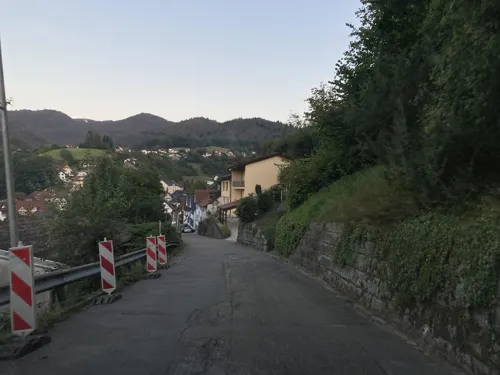
Bergfriedel
Restaurant · German · 4.2 km
23 Haabergstraße, Bühlertal
We-Sa 11:30-14:00,17:30-22:00; Su 11:00-14:00,17:30-21:00; Mo,Tu off
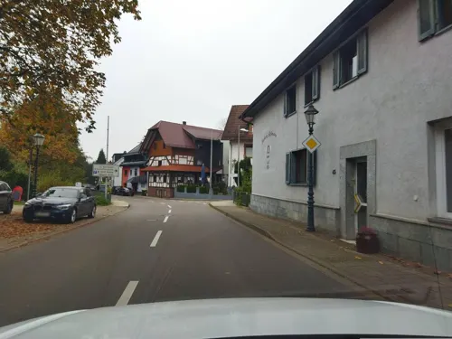
Landgasthaus Zur Linde
Restaurant · Regional · 4.3 km
32 Schwarzwaldstraße, Bühl
Tu-Sa 11:30-14:00, 17:30-22:30; Su 11:30-14:00


Burg Windeck - Hotel und Restaurant
Restaurant · Regional · 3.1 km
104 Kappelwindeckstraße, Bühl
Mo,We-Sa 12:00-21:00; Su 12:00-17:00;Tu off
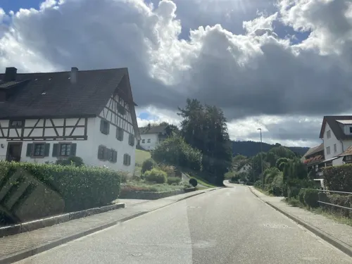
Der Einsiedelhof
Restaurant · 1.5 km
51 Kappelwindeckstraße, Bühl
Mo 17:00-23:00; We-Su 11:00-14:00,17:00-23:00
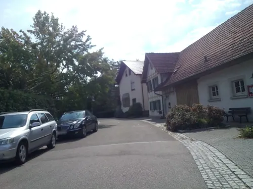
Gasthaus zum Wagen
Restaurant · Regional, Mediterranean · 5.6 km
10 Kirchwegstraße, Achern
We-Sa 17:00-23:00; Su,PH 11:00-15:00, 17:00-23:00; Mo,Tu off
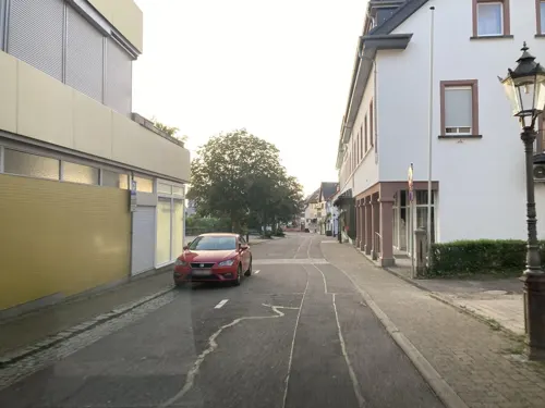
Hotel Grüner Baum
Restaurant · Regional · 3.2 km
31 Hauptstraße, Bühlertal
Mo,Sa 17:30-20:30; Tu off; We-Fr,Su 11:30-13:30, 17:30-20:30


#heimat im Badischen Hof
Restaurant
36 Hauptstraße, Bühl
Tu-Fr 12:00-14:00,17:00-21:30; Sa 17:00-21:30
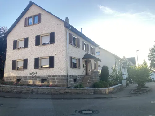
Auerhahn
Restaurant · Italian · 2.2 km
31 Affentaler Straße, Bühl
We-Th 17:00-21:30; Fr,Sa 17:00-22:00; Su 17:00-21:00; Mo,Tu off
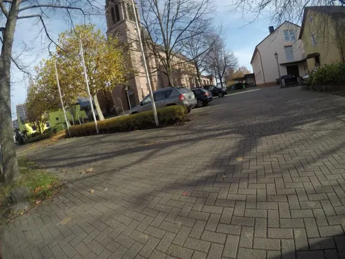


Vinothek Affentaler Winzer eG
Brewery and winery · 1.7 km
13 Immensteinstraße, Bühl
Mo-Fr 09:00-18:00; Sa 09:00-13:00; Su 10:00-14:00
165 more on the map.
Where to stay27
Churches and places of worship59
Bartholomäus-Kapelle Affental
Church · Catholic · 2.2 km
40 Affentaler Straße, Bühl
Shopping43
Gas and EV charging29
Schools, colleges and libraries28
Healthcare18
Map of Bühl
250 places. The map loads OpenStreetMap tiles when you open it.
Getting there and nearby towns
Airport Karlsruhe/Baden-Baden (FKB) is the nearest airport with scheduled flights listed in OpenStreetMap, 10 km away.
- Sinzheim 8 km north, about 8 min by car
- Gernsbach 17 km northeast, about 17 min by car
- Rastatt 19 km north, about 19 min by car
- Gaggenau 19 km northeast, about 19 min by car
- Oberkirch 19 km south, about 19 min by car
- Malsch 25 km northeast, about 25 min by car
- Kehl 27 km southwest, about 27 min by car
- Durmersheim 28 km north, about 28 min by car
- Offenburg 28 km southwest, about 28 min by car
- Freudenstadt 33 km southeast, about 33 min by car
Drive times are estimates from straight-line distance, not routes.
Local news
Headlines from INDB.
Reviews, tips and questions
Loading what members have shared...
Sources and licences
- GeoNames (CC BY 4.0): population, coordinates, regions and time zone
- Mapillary (see each image): photos
- OpenStreetMap contributors (ODbL 1.0): places, airports, map data
- Wikidata (CC0 1.0): elevation, founding date, time zone, website, landmarks and historic places
- Wikimedia Commons (see each image): photos
- Wikipedia (CC BY-SA 4.0): overview and history text
Photo credits
- Buehl Neues Rathaus (fcm), Photograph: Frank C. Müller , Baden-Baden, CC BY-SA 3.0
- Panoramaweg Fischkultur Malschbach Geroldsauer Wasserfall 02, Assenmacher, CC BY-SA 4.0
- Gertelbach-Wasserfälle (1), Stefan Karl, CC BY-SA 3.0
- Sasbachwalden July 2000, Jacquesverlaeken, CC BY-SA 4.0
- Theater Baden-Baden, Till Niermann, CC BY-SA 4.0
- Neu-Windeck 01, Rainer Kunze. The original uploader was MacElch at German Wikipedia ., CC BY-SA 3.0
- Burg Windeck- Bühl 01, H. Zell, CC BY-SA 3.0
- 2016-09-23 Schloss Neuweier 01, SBL1980, CC BY-SA 3.0 de
- Buehl Kirche und Kloster (fcm), Frank C. Müller , Baden-Baden, CC BY-SA 3.0
- Klinikum Mittelbaden Bühl, Der-Protagonist, CC BY-SA 3.0
- Schloss Aubach - Lauf, H. Zell, CC BY-SA 3.0
- HRB Hägenich, nördliches Becken, Hozro, CC0
- NSG Korbmatten Baden-Baden IMGP8478, Sitacuisses, CC BY-SA 3.0
- NSG Korbmatten - Im Mäthi IMGP8527, Sitacuisses, CC BY-SA 3.0
- Affental-Bartholomaeuskapelle-02-1754-gje, Gerd Eichmann, CC BY-SA 4.0
- Altschweier-St Gallus-10-Turmfassade-gje, Gerd Eichmann, CC BY-SA 4.0
- Balzhofen-St Anna-04-gje, Gerd Eichmann, CC BY-SA 4.0
- Eisental-St Matthaeus-08-gje, Gerd Eichmann, CC BY-SA 4.0
- Kappelwindeck-St Maria-04-gje, Gerd Eichmann, CC BY-SA 4.0
- Oberweier-Maria Hilf-02-Maibaum-gje, Gerd Eichmann, CC BY-SA 4.0
- Buehl-Witstung-10-Kapelle-gje, Gerd Eichmann, CC BY-SA 4.0
- Ottersweier-Maria Linden-06-Fronleichnam-Altar-Blumenteppich-gje, Gerd Eichmann, CC BY-SA 4.0
- Unzhurst-St Cyriacus-02-gje, Gerd Eichmann, CC BY-SA 4.0
- Neuweier-Hotel Heiligenstein-02-2007-gje, Gerd Eichmann, CC BY-SA 4.0
- Buehl-Hauptstr-Nr36-Badischer Hof-08-2023-gje, Gerd Eichmann, CC BY 4.0
- Buehl-Hotel Am Froschbaechel-02-2023-gje, Gerd Eichmann, CC BY 4.0
- Buehl-826-Hauptstr-Nr32-Hotel Sternen-2023-gje, Gerd Eichmann, CC BY 4.0
- Buehl-856-Kappelwindeckstr-Nr85-Hotel Rebstock-2023-gje, Gerd Eichmann, CC BY 4.0
- Buehl-Burg Windeck-06-2023-gje, Gerd Eichmann, CC BY 4.0
- Lourdesgrotte Bühlertal, Karthoo, CC BY-SA 4.0
- Fastned Charger Vimbuch 2026-07, Karthoo, CC BY 4.0
- Buehl-St Peter+Paul-04-Rathaus-gje, Gerd Eichmann, CC BY-SA 4.0
- Neuweier-Schloss-40-2022-gje, Gerd Eichmann, CC BY-SA 4.0
- Kappelwindeck-St Maria-05-gje, Gerd Eichmann, CC BY-SA 4.0
- Buehl-Friedrichstr-Nr2-Friedrichsbau-08-Hintereingang-2023-gje, Gerd Eichmann, CC BY 4.0
- Buehl-300-Friedrichstr-Nr4-Volksbank-2023-gje, Gerd Eichmann, CC BY 4.0
- Buehl-302-Friedrichstr-Nr16-2023-gje, Gerd Eichmann, CC BY 4.0
- Buehl-Friedrichstr-Nr2-Friedrichsbau-02-2023-gje, Gerd Eichmann, CC BY 4.0
- Buehl-Friedrichstr-Nr2-Friedrichsbau-06-Rueckseite-2023-gje, Gerd Eichmann, CC BY 4.0
- Buehl-298-Friedrichstr-Nr4-Volksbank-2023-gje, Gerd Eichmann, CC BY 4.0
- Street-level photo, tasmaniadevil, CC BY-SA 4.0
- Street-level photo, changchun1, CC BY-SA 4.0
- Street-level photo, bittelwangen, CC BY-SA 4.0
- Street-level photo, tasmaniadevil, CC BY-SA 4.0
- Street-level photo, karthoo, CC BY-SA 4.0
- Street-level photo, tasmaniadevil, CC BY-SA 4.0
- Street-level photo, mfa, CC BY-SA 4.0
- Street-level photo, tasmaniadevil, CC BY-SA 4.0
- Street-level photo, mfa, CC BY-SA 4.0
- Street-level photo, tasmaniadevil, CC BY-SA 4.0
- Street-level photo, karthoo, CC BY-SA 4.0
- Street-level photo, rausk, CC BY-SA 4.0
- Street-level photo, mfa, CC BY-SA 4.0
- Street-level photo, karthoo, CC BY-SA 4.0
- Street-level photo, karthoo, CC BY-SA 4.0
- Street-level photo, karthoo, CC BY-SA 4.0
- Street-level photo, karthoo, CC BY-SA 4.0
- Street-level photo, karthoo, CC BY-SA 4.0
- Street-level photo, yaron, CC BY-SA 4.0
- Street-level photo, karthoo, CC BY-SA 4.0
- Street-level photo, rausk, CC BY-SA 4.0
- Street-level photo, laika, CC BY-SA 4.0
- Street-level photo, tasmaniadevil, CC BY-SA 4.0
- Street-level photo, karthoo, CC BY-SA 4.0
- Street-level photo, karthoo, CC BY-SA 4.0
- Street-level photo, karthoo, CC BY-SA 4.0
- Street-level photo, changchun1, CC BY-SA 4.0


Page built November 8, 2026. Spotted a mistake? Tell us or suggest a place.