


Bad Fallingbostel, Germany
Bad Fallingbostel is a town of 13,473 people in Lower Saxony, Germany.
Why visit Bad Fallingbostel
Townapedia lists 31 museums and landmarks, 24 parks and trails, 77 places to eat, 22 places to stay and 7 attractions in and around town.
Highlights include Biohof Wildung, Walsrode Bird Park, Walsrode Abbey and Hof der Heidmark.
Weather in Bad Fallingbostel
Forecast from MET Norway (CC BY 4.0). Full forecast
About Bad Fallingbostel
Bad Fallingbostel (German pronunciation: [baːt ˌfalɪŋˈbɔstl̩] ; Northern Low Saxon: Bad Fambossel) is the district town (Kreisstadt) of the Heidekreis district in the German state of Lower Saxony. Since 1976 the town has had a state-recognised Kneipp spa and has held the title of Bad since 2002. It has close ties to Walsrode, a few miles to the west. Until 2015, there was a British Army base in Bad Fallingbostel, It also hosted Defender 2020, the largest US Army/NATO exercise since the Cold War.
From the Wikipedia article Bad Fallingbostel (this version), under CC BY-SA 4.0.
Travel tips from other travellers: Bad Fallingbostel on Wikivoyage (CC BY-SA 4.0).
Things to do7
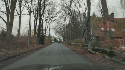
Biohof Wildung
Farm and orchard · 2.7 km
Kartoffeln, Eier und diverse Einmachgläser mit Hühnerfleisch und ähnlichem (Sülze) vom Hof.
16 Wenzinger Straße, Walsrode
Mo-Fr 09:00-12:00; Sa-Su 10:00-12:00

Walsrode World Bird Park
Zoo and aquarium · 6.7 km
Bird park near Walsrode, Germany


Museums and landmarks31

Walsrode Abbey
Monument and historic site · Lutheran · 6.6 km
Das Klostergelände ist täglich bis 18:00 Uhr (im Winter bis zum Einbruch der Dunkelheit) für Besucher zugänglich.
2 Kirchplatz, Walsrode

Hof der Heidmark
Museum · 0.6 km
Gedenkstätte und Ausstellung zur Erinnerung an die Dörfer der Heidmark, die dem Truppenübungsplatz weichen mussten.
24 Soltauer Straße, Bad Fallingbostel
Th 15:30-18:00; "nach Vereinbarung"

Dorfmuseum
Museum · 5.9 km
Termine für Führungen: +49 05161 3777
4 Kirchstraße, Walsrode
May-Oct: Th 15:00-17:00; PH off

Pastorenbackhaus
Monument and historic site · 6.4 km
Erbaut ca. 1648 und 1997 erneuert
2 Kirchdamm, Bad Fallingbostel


Rischmannshof Heath Museum
Museum · 7.5 km
Open-air museum in Walsrode

Freudenthal-Denkmal
Monument and historic site · 1.1 km
Denkmal für die Gebrüder Friedrich und August Freudenthal.

Tor zur Freiheit
Monument and historic site · 1.8 km
Mahnmal zum Gedenken an die Kriegsgefangenen in Oerbke
19 more on the map.
Parks, trails and playgrounds24

Strandbad Dorfmark
Sports field and stadium · 5.9 km
Bei Regen oder bei Temperatur unter 20° bleibt das Strandbad geschlossen.
1 Am Badeteich, Bad Fallingbostel
Mo-Su, PH 13:00-18:00 || "bei gutem Wetter auch länger"






Schulspielplatz Grundschule Dorfmark
Playground · 6.1 km
We,Fr 13:00+; Mo,Tu,Th 15:30+; Sa,Su 00:00-24:00; PH,SH 00:00-24:00

12 more on the map.
Restaurants and cafes77
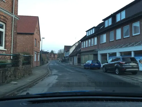
Deutsches Haus
Restaurant · German · 6.5 km
26 Hauptstraße, Bad Fallingbostel
Su 11:30-14:00,17:00+; Tu-Sa 17:00+

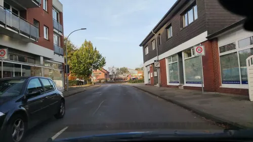
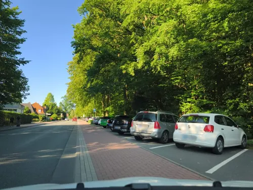
China Restaurant Wang
Restaurant · Chinese · 0.6 km
21 Soltauer Straße, Bad Fallingbostel
We,Th 12:00-14:00,18:00-22:00; Su 12:00-14:30,17:30-22:00; Mo,Tu...

Colosseum Diner
Diner · American · 5.1 km
6 Rudolf-Diesel-Straße, Walsrode
Th-Fr 16:00+; Sa 12:00+; Su,PH 12:00-20:00
Gasthaus Meding
Restaurant · German · 6.2 km
10 Poststraße, Bad Fallingbostel
Tu 16:30-22:00; We-Sa 10:00-14:00,16:30-22:00; Su 11:30-14:30,17:00-21:00
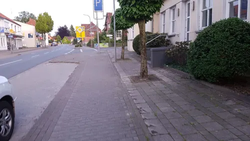
Haupttor Wirtshaus
Restaurant · German, Burger, Salad, Fish · 4.8 km
18-20 Bahnhofstraße, Walsrode
We-Fr 11:30-14:00; We-Sa 17:30-21:00; Su 11:30-21:00
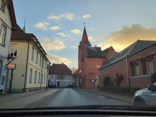
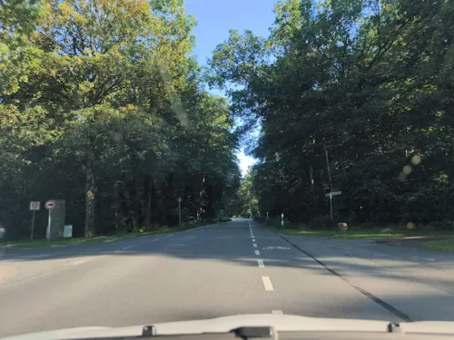
Primavera
Restaurant · Italian · 5.7 km
5 Fischendorfer Straße, Bad Fallingbostel
Su-Th 12:30-14:00,18:00-22:00; Fr,Sa 12:30-14:00,18:00-23:00;...
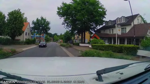


Singh
Restaurant · Indian
7 Düshorner Straße, Bad Fallingbostel
Mo,We-Fr 12:00-14:00,16:00-22:00; Sa-Su 12:00-22:00; Tu off

65 more on the map.
History
Bad Fallingbostel was first mentioned as "Vastulingeburstalle" in 993 and has therefore a recorded history of over 1,000 years. Originally it was a purely agricultural settlement, due to agriculture being the basis for life of the inhabitants of the old-Saxon Loingau. The name "Vastulingeburstalle" means either "House of the Vastulo" or "House of the Vastulingians". Otto III drew the borders between the dioceses Hildesheim and Minden during that time.
The Vogtei Fallingbostel (bailiwick) was established around 1300. It was later also called Amt Fallingbostel and it existed until the 19th century. In 1838 Heinrich von Quintus-Icilius, the assessor of the Vogtei, founded the “Sparcasse für die Amtsvogtei Fallingbostel”, one of the first rural savings banks in the Kingdom of Hannover. In 1866 the newly Prussian province of Hannover was divided into administrative districts, one of them was the district Fallingbostel. Fallingbostel was awarded its status as a town in 1949.
During World War II Fallingbostel was the site of two POW camps: Stalag XI-B and Stalag XI-D / 357.
From the History section of Bad Fallingbostel on Wikipedia, under CC BY-SA 4.0.
Where to stay22
Churches and places of worship13
St. Johannes der Täufer Kirche
Church · Lutheran · 5.9 km
Kirchstraße, Walsrode
Sankt Maria von den Sieben Schmerzen
Church · Roman Catholic · 0.8 km
Shopping21
Gas and EV charging14
Schools, colleges and libraries19
Stadtbücherei Bad Fallingbostel Außenstelle Dorfmark
Library · 6.6 km
1 Marktstraße, Bad Fallingbostel
Healthcare4
Map of Bad Fallingbostel
232 places. The map loads OpenStreetMap tiles when you open it.
Getting there and nearby towns
Hannover Airport (HAJ) is the nearest airport with scheduled flights listed in OpenStreetMap, 45 km away.
- Walsrode 7 km west, about 7 min by car
- Visselhövede 15 km northwest, about 15 min by car
- Soltau 16 km northeast, about 16 min by car
- Kirchlinteln 27 km west, about 27 min by car
- Schneverdingen 29 km north, about 29 min by car
- Verden 31 km west, about 31 min by car
- Hambühren 32 km southeast, about 32 min by car
- Langwedel 36 km west, about 36 min by car
- Scheeßel 37 km northwest, about 37 min by car
- Nienburg 41 km southwest, about 41 min by car
Drive times are estimates from straight-line distance, not routes.
Local news
Headlines from INDB.
Reviews, tips and questions
Loading what members have shared...
Sources and licences
- GeoNames (CC BY 4.0): population, coordinates, regions and time zone
- Mapillary (see each image): photos
- OpenStreetMap contributors (ODbL 1.0): places, airports, map data
- Wikidata (CC0 1.0): elevation, founding date, time zone, website, landmarks and historic places
- Wikimedia Commons (see each image): photos
- Wikipedia (CC BY-SA 4.0): overview and history text
Photo credits
- Bad Fallingbostel Zentrum 2015-12-06, WWasser, CC BY-SA 4.0
- Saint Dionysius Church Bad Fallingbostel, Clemensfranz, CC BY-SA 4.0
- Bad Fallingbostel - St. Dionysius - geo.hlipp.de - 35232, Oxfordian Kissuth on geo.hlipp.de, CC BY-SA 2.0
- Findling Bergen-Hohne-Garnison Bad Fallingbostel, RogerWiki, CC0
- Saint Dionysius Bad Fallingbostel, Clemensfranz, CC BY-SA 4.0
- St.-Dionysius-Kirche in Bad Fallingbostel IMG 8751, Losch, CC BY-SA 4.0
- Glocke vor St.-Dionysius-Kirche in Bad Fallingbostel IMG 8753, Losch, CC BY-SA 4.0
- St.-Dionysius-Kirche in Bad Fallingbostel IMG 8754, Losch, CC BY-SA 4.0
- Glocke vor St.-Dionysius-Kirche in Bad Fallingbostel IMG 8752, Losch, CC BY-SA 4.0
- Ratssaal Bad Fallingbostel, Gerd Fahrenhorst, CC BY 4.0
- Gedenkstein am Rathaus Bad Fallingbostel, Gerd Fahrenhorst, CC BY 4.0
- 2018-10-14 Kunstpreis Worpswede in Bad Fallingbostel (473b) Andrea Anderseck, Bernd Schwabe, CC BY-SA 4.0
- 2018-10-14 Kunstpreis Worpswede in Bad Fallingbostel (248) Karin Thorey und Claus-Peter Enders, Bernd Schwabe, CC BY-SA 4.0
- 2018-10-14 Kunstpreis Worpswede in Bad Fallingbostel (292) Simin Arian, Bernd Schwabe, CC BY-SA 4.0
- Ortsblick in Bad Fallingbostel IMG 8750, Losch, CC BY-SA 3.0
- Walsrode455Klosterkapelle+Chor d Stadtkirche, Ulamm ( talk ), CC BY-SA 4.0
- Walsrode Heidemuseum, Axel Hindemith, Public domain
- VPW Parkanlage, Thomas Hermes, CC BY 2.5
- St.-Martinskirche Dorfmark 01, ChristianSW, CC BY-SA 4.0
- Huenenburg Bomlitz, WWasser, CC BY-SA 3.0
- St. Maria Walsrode, Mauerhof, CC BY-SA 4.0
- St. Johannes der Täufer-Kirche Walsrode 2011, Olaf Oliviero Riemer, CC BY-SA 3.0
- Dorfmark Baudenkmal Kirchdamm 01, ChristianSW, CC BY 4.0
- Von-Notz-Park Dorfmark 2, RogerWiki, CC0
- Johannes-der-Täufer-Kirche in Düshorn (Walsrode) IMG 8707, Losch, CC BY-SA 4.0
- St. Georg Kirche zu Meinerdingen-2, Olaf Oliviero Riemer, CC BY-SA 3.0
- Hügelgräberfeld Lohheide 2021 02, RogerWiki, CC0
- Benefeld kathq, Kirchenfan, CC0
- Fallingbostel kath1, Kirchenfan, CC0
- Mahnmal Tor zur Freiheit (99270), RogerWiki, CC0
- Archeologisch-Geologisches Museum ehemaliges Forsthaus in Bad Fallingbostel IMG 8742, Losch, CC BY-SA 4.0
- Pfarrhof in Dorfmark (Bad Fallingbostel) IMG 8765, Losch, CC BY-SA 4.0
- Freudenthal memorial 01, RogerWiki, CC0
- Mahnmal Tor zur Freiheit, RogerWiki, CC0
- LönsgrabTietlingen, Drow69, CC BY-SA 3.0
- Wettig-Park Dorfmark, RogerWiki, CC0
- Bad Fallingbostel - St. Dionysius Kirche, Oxfordian Kissuth, CC BY-SA 3.0
- Stadtkirchewalsrodefront, Florian Fabian, CC BY-SA 3.0 de
- St. Georg Kirche zu Meinerdingen, Olaf Oliviero Riemer, CC BY-SA 3.0
- Alte Rats-Apotheke Walsrode, Reini00, CC BY-SA 3.0
- Hof der Heidmark - panoramio, Johannes Geiger, CC BY-SA 3.0
- Infotafel Strandbad Dorfmark, RogerWiki, CC0
- Bürgerpark Dorfmark (Bad Fallingbostel) 2, RogerWiki, CC0
- Street-level photo, hotteliene, CC BY-SA 4.0
- Street-level photo, tqm, CC BY-SA 4.0
- Street-level photo, hotteliene, CC BY-SA 4.0
- Street-level photo, thetornado76, CC BY-SA 4.0
- Street-level photo, StefanS79, CC BY-SA 4.0
- Street-level photo, saftycar, CC BY-SA 4.0
- Street-level photo, jurgenweighardt, CC BY-SA 4.0
- Street-level photo, hotteliene, CC BY-SA 4.0
- Street-level photo, hotteliene, CC BY-SA 4.0
- Street-level photo, hotteliene, CC BY-SA 4.0
- Street-level photo, hotteliene, CC BY-SA 4.0
- Street-level photo, hotteliene, CC BY-SA 4.0
- Street-level photo, hotteliene, CC BY-SA 4.0
- Street-level photo, saftycar, CC BY-SA 4.0
- Street-level photo, tqm, CC BY-SA 4.0
- Street-level photo, hotteliene, CC BY-SA 4.0
- Street-level photo, hotteliene, CC BY-SA 4.0
- Street-level photo, hotteliene, CC BY-SA 4.0
- Street-level photo, skool, CC BY-SA 4.0
- Street-level photo, hotteliene, CC BY-SA 4.0
- Street-level photo, tqm, CC BY-SA 4.0
- Street-level photo, hotteliene, CC BY-SA 4.0
- Street-level photo, saftycar, CC BY-SA 4.0


Page built November 8, 2026. Spotted a mistake? Tell us or suggest a place.