


Blankenfelde-Mahlow, Germany
Blankenfelde-Mahlow is a town of 29,129 people in Brandenburg, Germany.
Why visit Blankenfelde-Mahlow
Townapedia lists 50 museums and landmarks, 34 parks and trails, 113 places to eat, 10 places to stay and 17 attractions in and around town.
Highlights include Groß Kienitzer Berge, Kleinziethener Berg, Gutshaus Jühnsdorf and Kindermuseum unterm Dach.
Weather in Blankenfelde-Mahlow
Forecast from MET Norway (CC BY 4.0). Full forecast
About Blankenfelde-Mahlow
Blankenfelde-Mahlow is a municipality in the Teltow-Fläming district of Brandenburg, Germany. It is situated approximately 3 kilometres (2 miles) south of Berlin.
From the Wikipedia article Blankenfelde-Mahlow (this version), under CC BY-SA 4.0.
Things to do17


5 more on the map.
Museums and landmarks50

Gutshaus Jühnsdorf
Monument and historic site · 4.5 km
22 Dorfstraße, Blankenfelde-Mahlow

Kindermuseum unterm Dach
Museum · 5.8 km
Empfang und Eingang 5. OG
41 Steinstraße
Mo-Fr 14:00-18:00; Sa, Su 11:00-17:00


Wasserturm
Monument and historic site · 2.5 km
Wasserturm der Gutsanlage, Dorfstraße 35 in Blankenfelde-Mahlow OT Dahlewitz

Dorfschmiede Blankenfelde
Monument and historic site · 1.6 km
Historische Dorfschmiede mit Inventar
14 Blankenfelder Dorfstraße, Blankenfelde-Mahlow

Denkmal für das KZ Sachsenhausen, Außenlager Lichtenrade
Monument and historic site · 5.9 km

Rundweg "Ausländerkrankenhaus Mahlow"
Monument and historic site · 1.8 km
Rundweg um das Gelände des ehem. "Ausländerkrankenhaus Mahlow" (1942-1945).


38 more on the map.
Parks, trails and playgrounds34

Mini Monkey Kletterwald Blankenfelde-Mahlow
Playground · 1.1 km
149 August-Bebel-Straße, Blankenfelde-Mahlow




Seesportclub Rangsdorf
Marina and boat launch · 5.3 km
Slippanlage und Kran bis 2 to http://sscra.de/
22 more on the map.
Restaurants and cafes113
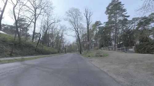

Akropolis
Restaurant · Greek · 2.8 km
4 Herbert-Tschäpe-Straße, Blankenfelde-Mahlow
Tu-Fr 14:00-23:00; Sa 12:00-23:00; Su 12:00-22:00; Mo off
Dionysos
Restaurant · Greek
35 Brandenburger Platz, Blankenfelde-Mahlow
Mo-Sa 12:00-22:30; Su 12:00-21:30
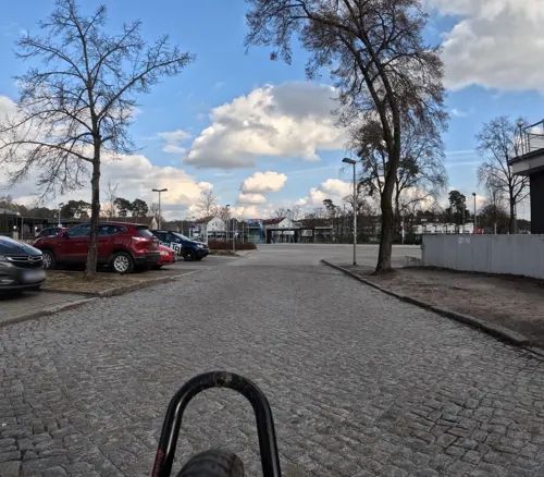
Knossos
Restaurant · Greek · 4.9 km
1 Goethestraße, Rangsdorf
Mo,We,Th 11:30-14:00; Fr 17:00-23:00; Sa,Su 11:30-23:00

Philips Dang Restaurant
Cafe · Vietnamese, Sushi · 0.9 km
26 Zossener Damm, Blankenfelde-Mahlow
Mo-Su 11:00-22:30
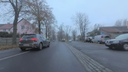
Pizza Musti
Restaurant · Italian, Pizza · 4.3 km
26 Dorfstraße, Blankenfelde-Mahlow
Tu-Fr 11:30-14:30; Tu-Su 16:00-21:00; Su 11:30-14:30
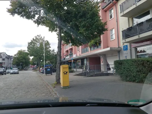
Steakhaus Barbecue
Restaurant · Argentinian, Steak House, Tex-Mex · 2.7 km
2 Albrechtstraße, Blankenfelde-Mahlow
Mo-Fr 16:00-21:45; Sa-Su 12:00-21:45


101 more on the map.
History
The municipality shared its borders with the former West Berlin, and so during the period 1961-1990 it was separated.
From the History section of Blankenfelde-Mahlow on Wikipedia, under CC BY-SA 4.0.
Where to stay10
Best Western Premier Airporthotel Fontane Berlin
Motel and hotel · 3.0 km
5 Jonas-Lie-Straße, Blankenfelde-Mahlow
Churches and places of worship19
Blankenfelder Dorfkirche
Church · Protestant · 1.4 km
50 Blankenfelder Dorfstraße, Blankenfelde-Mahlow
Dorfkirche Lichtenrade
Church · Protestant · 6.1 km
109 Alt-Lichtenrade, Berlin
Dorfkirche Glasow
Church · Protestant · 1.8 km
6b Alt Glasow, Blankenfelde-Mahlow
Evangelisch-Freikirchliche Gemeinde
Church · Baptist
2 Dietmar-Klemt-Straße, Blankenfelde-Mahlow
Kirche Groß Kienitz
Church · Protestant · 3.8 km
14a Groß Kienitzer Dorfstraße, Blankenfelde-Mahlow
Shopping42
Gas and EV charging15
Schools, colleges and libraries19
Healthcare13
Neue Apotheke
Clinic and pharmacy · 2.7 km
19 Trebbiner Straße, Blankenfelde-Mahlow
Schwarze Adler Apotheke
Clinic and pharmacy · 5.7 km
2 Prinzessinnenstraße, Berlin
Map of Blankenfelde-Mahlow
250 places. The map loads OpenStreetMap tiles when you open it.
Getting there and nearby towns
Berlin Brandenburg Airport "Willy Brandt" (BER) is the nearest airport with scheduled flights listed in OpenStreetMap, 7 km away.
- Blankenfelde 0 km northwest, about 1 min by car
- Schönefeld 8 km northeast, about 8 min by car
- Ludwigsfelde 11 km west, about 11 min by car
- Teltow 11 km northwest, about 11 min by car
- Zossen 14 km south, about 14 min by car
- Stahnsdorf 14 km west, about 14 min by car
- Zeuthen 14 km east, about 14 min by car
- Kleinmachnow 15 km northwest, about 15 min by car
- Königs Wusterhausen 15 km east, about 15 min by car
- Berlin 21 km north, about 21 min by car
Drive times are estimates from straight-line distance, not routes.
Local news
Headlines from INDB.
Reviews, tips and questions
Loading what members have shared...
Sources and licences
- GeoNames (CC BY 4.0): population, coordinates, regions and time zone
- Mapillary (see each image): photos
- OpenStreetMap contributors (ODbL 1.0): places, airports, map data
- Wikidata (CC0 1.0): elevation, founding date, time zone, website
- Wikimedia Commons (see each image): photos
- Wikipedia (CC BY-SA 4.0): overview and history text
Photo credits
- Blankenfelde church, Doris Antony , Berlin, CC BY-SA 3.0
- DK Lichtenrade d, -- Ulrich Waack ( Diskussion ) 22:07, 30. Mär. 2014 (CEST), CC BY-SA 3.0 de
- Volkspark Lichtenrade (2010) 1151-1031-(120), Lotse, CC BY-SA 3.0
- Salvatorkirche (Berlin-Lichtenrade), Bodo Kubrak, CC0
- Dorfkirche Klein Kienitz 01, Engeser, CC BY-SA 3.0
- Dorfkirche Glasow Suedostansicht, Assenmacher, CC BY-SA 4.0
- Dorfkirche Jühnsdorf Südansicht August 2017, Assenmacher, CC BY-SA 4.0
- Ev. Kirche Diedersdorf - panoramio, der_psycho_78, CC BY 3.0
- Kleinbeeren church, Doris Antony , Berlin, CC BY-SA 4.0
- 1989-05-00 Nahariya-Grundschule 1, Horst Ladenthin, CC BY 4.0
- Dorfkirche Groß Kienitz - panoramio, Löwe 48, CC BY-SA 3.0
- Kriegerdenkmal Dorfstraße Blankenfelde, Clemensfranz, CC BY-SA 4.0
- Denkmal Bornhagenweg 55 (Lirad) Aussenlager Lichtenrade, OTFW , Berlin, CC BY-SA 3.0
- Juehnsdorf Gutshaus, Lienhard Schulz, CC BY-SA 3.0
- Stolperstein Beethovenstr 29 (Lirad) Hildegard Braun, OTFW , Berlin, CC BY-SA 3.0
- Blankenfelde-Mahlow Dahlewitz Wasserturm, Oberlausitzerin64, CC BY-SA 4.0
- Dorfschmiede Blankenfelde, Clemensfranz, CC BY-SA 3.0
- Lager Lichtenrade, Migra, CC BY-SA 3.0 de
- Stolperstein Galluner Str 41 (Lichtr) Alfred Rosenthal, OTFW , Berlin, CC BY-SA 3.0
- Stolperstein Mellener Str 33 (Lichtr) Amalie Wolff, OTFW , Berlin, CC BY-SA 3.0
- Selchow church1, Lienhard Schulz, CC BY 2.5
- Dorfkirche Blankenfelde Dorfstrasse, Clemensfranz, CC BY-SA 3.0
- Juehnsdorf church, Lienhard Schulz, CC BY-SA 3.0
- Berlin Lrd Volkspark 1984, Hagen Pelka, Berlin, CC BY-SA 3.0
- Blankenfelde Evangelisch-Freikirchliche Gemeinde lub 2023-06-17, Lukas Beck, CC BY-SA 4.0
- Blankenfelde - Brandenburger Platz - geo.hlipp.de - 35223, Colin Smith on geo.hlipp.de, CC BY-SA 2.0
- (20240605) Blankenfelde 14, Roy Zuo, CC BY-SA 4.0
- (20240605) Blankenfelde 13, Roy Zuo, CC BY-SA 4.0
- (20240605) Blankenfelde 12, Roy Zuo, CC BY-SA 4.0
- (20240605) Blankenfelde 11, Roy Zuo, CC BY-SA 4.0
- NSG Glasowbachniederung 2021-05-11 01, Leonhard Lenz, CC0
- Blankenfelde - Erich-Klausener-Strasse - geo.hlipp.de - 35222, Colin Smith on geo.hlipp.de, CC BY-SA 2.0
- NSG Glasowbachniederung 2021-05-11 02, Leonhard Lenz, CC0
- S-Bahnhof Blankenfelde 20140525 1, Srittau, CC0
- NSG Glasowbachniederung 2021-05-11 03, Leonhard Lenz, CC0
- NSG Glasowbachniederung 2021-05-11 04, Leonhard Lenz, CC0
- NSG Glasowbachniederung 2021-05-11 10, Leonhard Lenz, CC0
- NSG Glasowbachniederung 2021-05-11 09, Leonhard Lenz, CC0
- NSG Glasowbachniederung 2021-05-11 05, Leonhard Lenz, CC0
- NSG Glasowbachniederung 2021-05-11 08, Leonhard Lenz, CC0
- Lindenberg - panoramio (4), frankabrut, CC BY-SA 3.0
- Street-level photo, britiger, CC BY-SA 4.0
- Street-level photo, DBSEV_SBB, CC BY-SA 4.0
- Street-level photo, alexander2010, CC BY-SA 4.0
- Street-level photo, britiger, CC BY-SA 4.0
- Street-level photo, britiger, CC BY-SA 4.0
- Street-level photo, alexander2010, CC BY-SA 4.0
- Street-level photo, alexander2010, CC BY-SA 4.0
- Street-level photo, eserte, CC BY-SA 4.0
- Street-level photo, mfa, CC BY-SA 4.0
- Street-level photo, carlheinz, CC BY-SA 4.0
- Street-level photo, britiger, CC BY-SA 4.0
- Street-level photo, DBSEV_SBB, CC BY-SA 4.0
- Street-level photo, alexander2010, CC BY-SA 4.0
- Street-level photo, alexander2010, CC BY-SA 4.0
- Street-level photo, DBSEV_SBB, CC BY-SA 4.0
- Street-level photo, moenk, CC BY-SA 4.0
- Street-level photo, alexander2010, CC BY-SA 4.0
- Street-level photo, alexander2010, CC BY-SA 4.0
- Street-level photo, moenk, CC BY-SA 4.0
- Street-level photo, DBSEV_SBB, CC BY-SA 4.0
- Street-level photo, DBSEV_SBB, CC BY-SA 4.0
- Street-level photo, moenk, CC BY-SA 4.0
- Street-level photo, bitnapper, CC BY-SA 4.0
- Street-level photo, mfa, CC BY-SA 4.0


Page built November 8, 2026. Spotted a mistake? Tell us or suggest a place.