


Blankenheim, Germany
Blankenheim is a town of 8,770 people in North Rhine-Westphalia, Germany.
Why visit Blankenheim
Townapedia lists 93 museums and landmarks, 67 parks and trails, 59 places to eat, 30 places to stay and 25 attractions in and around town.
Highlights include Schmetterlingsgarten "Eifalia", Gewässersystem der Oberen Ahr, Ehem. Ausweichsitz der Landesregierung NRW and Eifelmuseum Blankenheim.
Weather in Blankenheim
Forecast from MET Norway (CC BY 4.0). Full forecast
About Blankenheim
Blankenheim (German pronunciation: [ˈblaŋkn̩haɪm]) is a municipality in the district of Euskirchen in the state of North Rhine-Westphalia, Germany.
From the Wikipedia article Blankenheim, North Rhine-Westphalia (this version), under CC BY-SA 4.0.
Things to do25

Schmetterlingsgarten "Eifalia"
Zoo and aquarium · 7.8 km
2 Am Hammerwerk
Apr: Mo-Su 10:00-17:00; May-Sep: Mo-Su 10:00-17:00; Oct: Mo-Su 11:00-17:00

Gewässersystem der Oberen Ahr
Scenic view · 7.1 km
Kalktriften mit Pflanzen wie Küchenschelle, Orchideen und Enziane


13 more on the map.
Museums and landmarks93

Ehem. Ausweichsitz der Landesregierung NRW
Museum · 9.7 km
Ehemaliger Atombunker der NRW Landesregierung
1 Am Gillesbach, Kall
Sa 16:00-18:00


Römischer Gutshof Villa Rustika
Monument and historic site · 1.0 km
Reste einer Römervilla
In den Alzen

Burg Marmagen
Monument and historic site · 7.2 km
12 Burgstraße, Nettersheim


Eifel Aqueduct
Monument and historic site · 9.3 km
Aqueduct in the Eifel region of the Roman Empire

Barrierefreier Landschaftspfad
Monument and historic site · 7.9 km
1 Dr. Konrad-Adenauer-Straße, Nettersheim

Grüner Pütz
Monument and historic site · 9.3 km
Settlement tank for sediment in roman water pipeline.

Kapelle St. Martin
Monument and historic site · 6.3 km
1 Marienplatz, Blankenheim

81 more on the map.
Parks, trails and playgrounds67



Ehemalige Steinbrüche am Sönsberg, Lanzenberg und Kaucherbachtal
Hiking and trails · 7.6 km
Erft- und Sülchesbachtal mit Seitentälern
Hiking and trails · 9.2 km
55 more on the map.
Restaurants and cafes59

Forstwalder Stube
Restaurant · German · 3.4 km
1 Am Genfbach, Blankenheim
Apr-Oct: Mo-Fr 08:00-19:00, Sa,Su,PH 08:00-18:00; Nov-Mar: Mo-Fr...
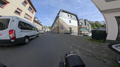
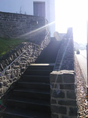
Nettersheimer Hof
Restaurant · 6.8 km
5 Bahnhofstraße, Nettersheim
Mo, Tu 16:00-22:00; Fr 16:00-22:30; Sa, Su 11:00-22:30

Bell - Bäckerei, Konditorei, Cafe
Bakery · 1.9 km
52 Nürburgstraße, Blankenheim
Mo-Fr 06:00-18:00; Sa 06:00-14:00; Su 08:00-9:30
Brasserie an der Ahr
Restaurant · 0.6 km
34 Ahrstraße, Blankenheim
We-Sa 17:00-23:00; Su,PH 12:00-23:00; Mo,Tu off
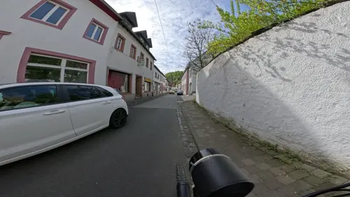
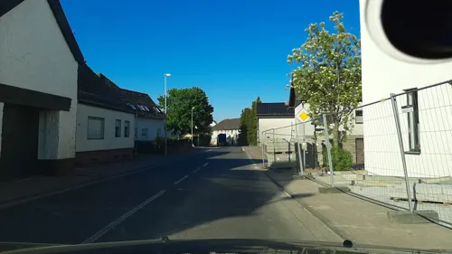
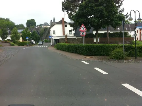
Bäckerei Konditorei Bell
Bakery · 6.6 km
54 Hauptstraße, Dahlem
Mo-Fr 06:15-17:00; Sa 06:15-13:00; Su 07:00-11:00

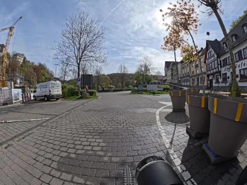


47 more on the map.
History
In the year 721, Blankenheim is mentioned for the first time as "Blancio" in a document. Today, the municipality is called in Eifel dialect as "Blangem" and has got a long carnival tradition.
From the History section of Blankenheim, North Rhine-Westphalia on Wikipedia, under CC BY-SA 4.0.
Where to stay30
Churches and places of worship42
Basilika St. Potentinus, Felicius und Simplicius
Church · Roman Catholic · 9.9 km
4 Hermann-Josef-Straße, Kall
Erlöserkapelle
Church · Roman Catholic · 8.8 km
1 Kapellenstraße, Wiesbaum
Sankt Laurentius
Church · Roman Catholic · 6.9 km
39 Kölner Straße, Nettersheim
St. Maria Himmelfahrt
Church · Roman Catholic
10 Klosterstraße, Blankenheim
St. Antonius Abt
Church · Roman Catholic · 7.7 km
7 Ahrtal, Blankenheim
St. Johann Baptist
Church · Roman Catholic · 5.3 km
55 Hauptstraße, Blankenheim
Shopping19
Gas and EV charging7
Schools, colleges and libraries12
Wildnistraining & Wildnispädagogik Uwe Belz
School · 8.6 km
21 Escher Straße, Dahlem
Healthcare5
Map of Blankenheim
250 places. The map loads OpenStreetMap tiles when you open it.
Getting there and nearby towns
Spangdahlem Air Base (SPM) is the nearest airport with scheduled flights listed in OpenStreetMap, 51 km away.
- Nettersheim 7 km north, about 7 min by car
- Kall 14 km northwest, about 14 min by car
- Schleiden 16 km northwest, about 16 min by car
- Hellenthal 16 km west, about 16 min by car
- Mechernich 18 km north, about 18 min by car
- Euskirchen 27 km north, about 27 min by car
- Zülpich 29 km north, about 29 min by car
- Rheinbach 30 km northeast, about 30 min by car
- Nideggen 31 km north, about 31 min by car
- Monschau 32 km northwest, about 32 min by car
Drive times are estimates from straight-line distance, not routes.
Local news
Headlines from INDB.
Reviews, tips and questions
Loading what members have shared...
Sources and licences
- GeoNames (CC BY 4.0): population, coordinates, regions and time zone
- Mapillary (see each image): photos
- OpenStreetMap contributors (ODbL 1.0): places, airports, map data
- Wikidata (CC0 1.0): elevation, founding date, time zone, website, landmarks and historic places
- Wikimedia Commons (see each image): photos
- Wikipedia (CC BY-SA 4.0): overview and history text
Photo credits
- Burg Blankenheim, No machine-readable author provided. Borsi112 assumed (based on copyright claims)., Public domain
- Eifelmuseum Blankenheim, Rosemoon, CC BY-SA 3.0
- Blankenheim, Dietrich Krieger, CC BY-SA 3.0
- Eifelmuseum Blankenheim - geo.hlipp.de - 776, Colin Smith, CC BY-SA 2.0
- Ahrstrasse 67 in Blankenheim, Krzysztof Golik, CC BY-SA 4.0
- Blankenheim, Burg Blankenheim vanaf Rathausplatz IMG 5183 2024-08-31 18.28, Michielverbeek, CC BY 4.0
- Town hall of Blankenheim, Krzysztof Golik, CC BY-SA 4.0
- 53945 Blankenheim, Germany - panoramio, Gimo61, CC BY 3.0
- Blankenheim, Schloss Blankenheim Dm41 Dm175 met de Ahr op de voorgrond IMG 5176 2024-08-31 15.29, Michielverbeek, CC BY-SA 3.0 de
- Luftmalerei in Blankenheim - geo.hlipp.de - 787, Colin Smith, CC BY-SA 2.0
- Blankenheim Castle 02, Krzysztof Golik, CC BY-SA 4.0
- Blankenheim Castle 03, Krzysztof Golik, CC BY-SA 4.0
- Am Luehberg 4 in Blankenheim, Krzysztof Golik, CC BY-SA 4.0
- Ahrstrasse 52 in Blankenheim, Krzysztof Golik, CC BY-SA 4.0
- Klosterstrasse 4 in Blankenheim, Krzysztof Golik, CC BY-SA 4.0
- Klosterstrasse 3 in Blankenheim, Krzysztof Golik, CC BY-SA 4.0
- Eifelmuseum Blankenheim 2, Rosemoon, CC BY-SA 3.0
- Stadtkern, Blankenheim - geo.hlipp.de - 778, Colin Smith, CC BY-SA 2.0
- Klosterstrasse 2 in Blankenheim, Krzysztof Golik, CC BY-SA 4.0
- Johannesstrasse in Blankenheim, Krzysztof Golik, CC BY-SA 4.0
- Blankenheim Castle 07, Krzysztof Golik, CC BY-SA 4.0
- Ahrstrasse 50 in Blankenheim, Krzysztof Golik, CC BY-SA 4.0
- Klosterstraße 8 in Blankenheim (1), Krzysztof Golik, CC BY-SA 4.0
- Our Lady of the Assumption church in Blankenheim 07, Krzysztof Golik, CC BY-SA 4.0
- Johannesstrasse 3 in Blankenheim, Krzysztof Golik, CC BY-SA 4.0
- Blankenheim Castle 04, Krzysztof Golik, CC BY-SA 4.0
- Johannesstrasse 5 in Blankenheim (1), Krzysztof Golik, CC BY-SA 4.0
- Klosterstraße 8 in Blankenheim (2), Krzysztof Golik, CC BY-SA 4.0
- Ahrstrasse 49 in Blankenheim, Krzysztof Golik, CC BY-SA 4.0
- Statue of John of Nepomuk in Blankenheim (1), Krzysztof Golik, CC BY-SA 4.0
- Ahrstrasse 53 in Blankenheim, Krzysztof Golik, CC BY-SA 4.0
- Statue of John of Nepomuk in Blankenheim (2), Krzysztof Golik, CC BY-SA 4.0
- Our Lady of the Assumption church in Blankenheim 06, Krzysztof Golik, CC BY-SA 4.0
- Johannesstrasse 5 in Blankenheim (2), Krzysztof Golik, CC BY-SA 4.0
- Johannesstrasse 6 in Blankenheim (2), Krzysztof Golik, CC BY-SA 4.0
- Klosterstrasse 8 in Blankenheim, Krzysztof Golik, CC BY-SA 4.0
- Klosterstraße 8 in Blankenheim (3), Krzysztof Golik, CC BY-SA 4.0
- Our Lady of the Assumption church in Blankenheim 01, Krzysztof Golik, CC BY-SA 4.0
- Eifelwasserleitung05, Putput, CC BY-SA 3.0
- Gronrechtsmühle im -Grünen Pütz-, Pfir, CC BY-SA 3.0 de
- Atombunker in Urft (10564312753), Dirk Vorderstraße, CC BY 2.0
- Klooster Steinfeld, toegangspoort, RomkeHoekstra, CC BY-SA 4.0
- 20131116 Kalvarienberg, Bungert55, CC BY-SA 3.0
- Dahlem-chaussee-romaine, Pfir, CC BY-SA 3.0
- Dahlem Pfarrkirche, Superbass, CC BY-SA 3.0
- St. Philippus und Jakobus (Lommersdorf) 01, Thomas Hummel, CC BY-SA 4.0
- St. Barbara (Krekel), Chris06, CC BY-SA 4.0
- Rohr, Wendelinusstr. 1; kath. Pfarrkirche 7, von NO, Listen-köbes, CC BY-SA 4.0
- Freilingen, Marienplatz 1, kath. Kapelle St. Martin, Bild 1, Listen-köbes, CC BY-SA 4.0
- St. Antonius Abt (Ahrhütte) 02, Thomas Hummel, CC BY-SA 4.0
- Waldorf, Kapelle St. Dionysius, BalthasarCasimirundMyrrhe, CC BY-SA 4.0
- Marmagen, Burg Marmagen, Elya, CC BY-SA 3.0
- Marmagen, Brunnenstube Buschgasse, Elya, CC BY-SA 3.0
- NSG Baumberg b. Wiesbaum vor NSG Winterberg, Ökologix, CC BY-SA 3.0
- Ehemaliger Steinbruch im NSG Kaucherbachtal, JoergSiemers, CC BY-SA 3.0
- Wohnmobilhafen Nettersheim-2264, Raimond Spekking, CC BY-SA 4.0
- Erlöserkirche (Mirbach) 82, Thomas Hummel, CC BY-SA 4.0
- Marmagen, Kath. Pfarrkirche St. Laurentius, Elya, CC BY-SA 3.0
- St. Johann Baptist (Ripsdorf) 06, Thomas Hummel, CC BY-SA 4.0
- Tiergartentunnel (Blankenheim), Ralf Hüls, CC BY-SA 4.0
- Am Hirtenturm 3 Blankenheim, Rosemoon, CC BY-SA 3.0
- Street-level photo, mapillaryme, CC BY-SA 4.0
- Street-level photo, raymond, CC BY-SA 4.0
- Street-level photo, mapillaryme, CC BY-SA 4.0
- Street-level photo, mapillaryme, CC BY-SA 4.0
- Street-level photo, eifelkobold, CC BY-SA 4.0
- Street-level photo, raymond, CC BY-SA 4.0
- Street-level photo, raymond, CC BY-SA 4.0
- Street-level photo, raymond, CC BY-SA 4.0
- Street-level photo, raymond, CC BY-SA 4.0
- Street-level photo, rb61, CC BY-SA 4.0
- Street-level photo, bernd1960, CC BY-SA 4.0


Page built November 9, 2026. Spotted a mistake? Tell us or suggest a place.