


Hellenthal, Germany
Hellenthal is a town of 8,582 people in North Rhine-Westphalia, Germany.
Why visit Hellenthal
Townapedia lists 40 museums and landmarks, 48 parks and trails, 52 places to eat, 27 places to stay and 16 attractions in and around town.
Highlights include Wildfreigehege Hellenthal, Weißer Stein, Besucherbergwerk Grube Wohlfahrt and Burg Reifferscheid.
Weather in Hellenthal
Forecast from MET Norway (CC BY 4.0). Full forecast
About Hellenthal
Hellenthal (German pronunciation: [ˈhɛləntaːl]) is a municipality in the district of Euskirchen in the state of North Rhine-Westphalia, Germany. It is located in the Eifel hills, near the border with Belgium, approx. 30 km south-west of Euskirchen and 40 km south-east of Aachen.
From the Wikipedia article Hellenthal (this version), under CC BY-SA 4.0.
Things to do16

Wildfreigehege Hellenthal
Zoo and aquarium · 1.8 km
1 Wildgehege, Hellenthal
Apr-Oct Mo-Su, PH 09:00-18:00; Nov-Mar Mo-Su, PH 10:00-16:00



4 more on the map.
Museums and landmarks40


Ordensburg Vogelsang
Museum · 11.3 km
Former Nazi elite school in Germany

Burg Dreiborn
Monument and historic site · 7.2 km
33 Kirchstraße, Schleiden

Schloss Schleiden
Monument and historic site · 5.7 km
9 Vorburg, Schleiden




28 more on the map.
Parks, trails and playgrounds48

Erlebnisfreibad Dieffenbach
Sports field and stadium · 5.6 km
Im Wiesengrund, Schleiden
Mo-Fr 09:30-19:00; Sa-Su 09:00-19:00

Bachtäler im Truppenübungsplatz Vogelsang
Hiking and trails · 7.1 km


36 more on the map.
Restaurants and cafes52
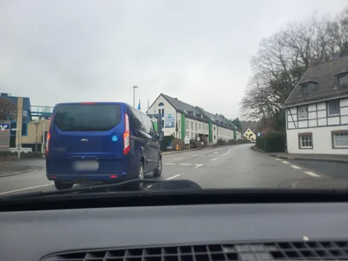
Alte Rentei
Restaurant · Cafe, Regional, Burger, German · 6.0 km
39 Am Markt, Schleiden
Fr,Sa,PH 17:00-22:00; Su 12:00-15:00,17:00-22:00; Tu,We off
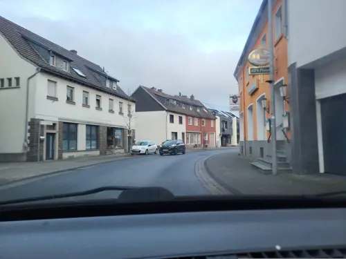
Ali's Pizzeria
Restaurant · Pizza · 1.0 km
64 Kölner Straße, Hellenthal
Tu-Th 11:00-22:00; Fr-Sa 11:00-23:00; Su,PH 12:00-22:00


Bauerncafé Morsbacher Hof
Cafe · 9.2 km
20 Morsbach, Schleiden
Apr-Oct: Th-Mo 09:00-18:00; Nov-Mar: Fr-Mo 09:00-18:00
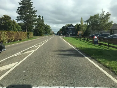

Friedrichs - der Eifelbäcker
Bakery · 5.9 km
24 Am Markt, Schleiden
Mo-Fr 05:30-18:00; Sa 05:30-13:00; Su 06:00-16:00
Mayer's Restaurant & Cafe
Restaurant · International · 6.1 km
We,Th 17:30-22:00; Fr,Sa 17:30-23:00; Su 11:30-14:00,17:30-22:00


40 more on the map.
Where to stay27
DJH Jugendherberge Hellenthal - Erlebnispädagogik- und Outdoor-Zentrum
Motel and hotel · 0.8 km
3 Platiß, Hellenthal
Churches and places of worship35
Basilika St. Potentinus, Felicius und Simplicius
Church · Roman Catholic · 9.5 km
4 Hermann-Josef-Straße, Kall
St. Matthias
Church · Roman Catholic · 2.5 km
1 Marktplatz, Hellenthal
Shopping10
Gas and EV charging4
Schools, colleges and libraries12
Healthcare6
Map of Hellenthal
250 places. The map loads OpenStreetMap tiles when you open it.
Getting there and nearby towns
Flugplatz Würselen-Aachen (AAH) is the nearest airport with scheduled flights listed in OpenStreetMap, 42 km away.
- Schleiden 6 km northeast, about 6 min by car
- Kall 11 km northeast, about 11 min by car
- Nettersheim 14 km east, about 14 min by car
- Monschau 16 km northwest, about 16 min by car
- Simmerath 16 km northwest, about 16 min by car
- Mechernich 20 km northeast, about 20 min by car
- Nideggen 24 km north, about 24 min by car
- Roetgen 25 km northwest, about 25 min by car
- Zülpich 28 km northeast, about 28 min by car
- Euskirchen 32 km northeast, about 32 min by car
Drive times are estimates from straight-line distance, not routes.
Local news
Headlines from INDB.
Reviews, tips and questions
Loading what members have shared...
Sources and licences
- GeoNames (CC BY 4.0): population, coordinates, regions and time zone
- Mapillary (see each image): photos
- OpenStreetMap contributors (ODbL 1.0): places, airports, map data
- Wikidata (CC0 1.0): elevation, founding date, time zone, website, landmarks and historic places
- Wikimedia Commons (see each image): photos
- Wikipedia (CC BY-SA 4.0): overview and history text
Photo credits
- Bahnhof Hellenthal, Busbahnhof, CC BY-SA 3.0
- Turm St. Anna Hellenthal (Eifel), Langenbergstefan, CC BY-SA 3.0
- Landschaft bei Hellenthal - panoramio, Blende-AC, CC BY-SA 3.0
- Schneelandschaft Hellenthal - panoramio, Blende-AC, CC BY-SA 3.0
- Hellenthal (DE), Landschaft -- 2023 -- 9299, Anil Öztas, CC BY-SA 4.0
- Hellenthal (DE), Landschaft -- 2023 -- 9304, Anil Öztas, CC BY-SA 4.0
- Hellenthal (DE), Oleftalsperre -- 2023 -- 9305, Anil Öztas, CC BY-SA 4.0
- Falkner hellenthal, Klaus Graf, CC0
- Burg Vogelsang, VoWo, CC BY-SA 3.0
- WeisserStein Steg, Macphil, CC BY-SA 2.0 de
- Wildenburg 1997, Own work, CC BY 2.5
- Klooster Steinfeld, toegangspoort, RomkeHoekstra, CC BY-SA 4.0
- Burg Reifferscheid 002-, Wolkenkratzer, CC BY-SA 4.0
- Wildgehege Hellenthal 01, Thomas Hummel, CC BY-SA 4.0
- Stadtansicht Schloss Schleiden, Putorius at de.wikipedia, CC BY-SA 3.0 de
- Schleiden Schloss Schlosskirche Gesamt 1, Gordito1869, CC BY 3.0
- St. Barbara (Krekel), Chris06, CC BY-SA 4.0
- Erkensruhr valley near Leykaul 03, Leonhard Lenz, CC0
- View from trail from Gierberg to Müsauelsberg in September 2019 66, Leonhard Lenz, CC0
- St. Anna (Hellenthal) (01), Chris06, CC BY-SA 4.0
- St. Matthias (Reifferscheid) 008, Thomas Hummel, CC BY-SA 4.0
- Evangelische Kirche (Hellenthal), Chris06, CC BY-SA 4.0
- St. Antonius (Schnorrenberg) 02, Thomas Hummel, CC BY-SA 4.0
- Schloss Dreiborn, Venetianer, CC BY-SA 3.0
- WK-Bunker Wermessief, Quelle, Höfen (1), ArthurMcGill, CC BY-SA 4.0
- Erkensruhr valley near Leykaul 04, Leonhard Lenz, CC0
- St. Antonius (Schnorrenberg) 01, Thomas Hummel, CC BY-SA 4.0
- Kloster Steinfeld 004-, Wolkenkratzer, CC BY-SA 4.0
- Grube Wohlfahrt (Rescheid) 02, Thomas Hummel, CC BY-SA 4.0
- Wildenburg (Hellenthal) 01, Thomas Hummel, CC BY-SA 4.0
- Schleiden (Eifel) 100, Thomas Hummel, CC BY-SA 4.0
- Schleiden, Schlosskirche am Schlossberg, Thomas Hummel, CC BY-SA 4.0
- Wüstebach 13, Leonhard Lenz, CC0
- Monschau Hollersief Blick nach Osten, Assenmacher, CC BY-SA 4.0
- St. Matthias (Reifferscheid) (02), Chris06, CC BY-SA 4.0
- 20141220 Platißbach 01, Bungert55, CC BY-SA 3.0
- 20141220 Prether Bach 33, Bungert55, CC BY-SA 3.0
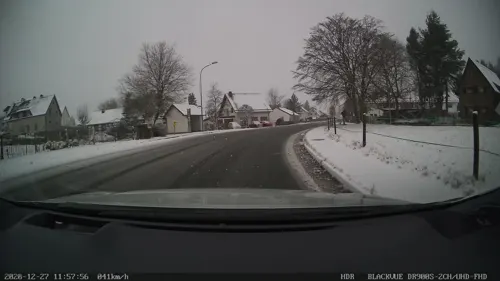
- Street-level photo, walldi222, CC BY-SA 4.0
- Street-level photo, walldi222, CC BY-SA 4.0
- Street-level photo, walldi222, CC BY-SA 4.0
- Street-level photo, walldi222, CC BY-SA 4.0
- Street-level photo, raymond, CC BY-SA 4.0
- Street-level photo, marczoutendijk, CC BY-SA 4.0
- Street-level photo, tobiasreg, CC BY-SA 4.0
- Street-level photo, madel, CC BY-SA 4.0
- Street-level photo, madel, CC BY-SA 4.0
- Street-level photo, joostjakob, CC BY-SA 4.0
- Street-level photo, raymond, CC BY-SA 4.0


Page built November 9, 2026. Spotted a mistake? Tell us or suggest a place.