


Why visit Kehl
Townapedia lists 119 museums and landmarks, 21 parks and trails, 168 places to eat, 16 places to stay and 9 attractions in and around town.
Highlights include Kino-Center Kehl, Barrage Vauban, Fritz Wertheimer and Klara Wertheimer.
Weather in Kehl
Forecast from MET Norway (CC BY 4.0). Full forecast
About Kehl
Kehl (German pronunciation: [keːl] ; Low Alemannic: Kaal) is a city with around 38,000 inhabitants in the southwestern German state of Baden-Württemberg. It lies in the region of Baden on the Rhine River, at the confluence with the smaller Kinzig River, directly opposite the French and Alsatian city of Strasbourg. It is the third-largest city of the Ortenaukreis (Ortenau District) after Offenburg and Lahr/Schwarzwald.
From the Wikipedia article Kehl (this version), under CC BY-SA 4.0.
Travel tips from other travellers: Kehl on Wikivoyage (CC BY-SA 4.0).
Things to do9



Beatus Rhenanus Bridge
Bridge · 1.0 km
Tramway bridge between Strasbourg, France and Kehl, Germany. Also for cyclists and pedestrians.


Ponts Couverts, Strasbourg
Bridge · 5.6 km
Bridge in Strasbourg, France


Strasbourg Opera House
Cinema and theater · 4.8 km
The opera house in Strasbourg, France

Fred Scherwitz Direktvermarktung
Farm and orchard · 5.6 km
51 Kehler Straße, Willstätt
Mo-Sa 08:00-20:00
Museums and landmarks119



Weißtannenturm
Monument and historic site · 0.9 km
"closed during meteorogical events like strong wind or frost"


Argentoratum
Monument and historic site · 4.8 km
Ancient name of the city of Strasbourg in France


Cabinet des estampes et des dessins
Museum · 4.8 km
Museum in Strasbourg, France


107 more on the map.
Parks, trails and playgrounds21


Réserve naturelle nationale du massif forestier de la Robertsau et de La Wantzenau
Hiking and trails · 5.4 km

Sensapolis Indoor Spiel- & Kletterpark Kehl
Playground · 3.2 km
We-Fr 14:00-18:30; Sa,Su 12:00-18:30; SH,Mo-Su 12:00-18:30 open






Réserve naturelle du massif forestier de Strasbourg-Neuhof/Illkirch-Graffenstaden
Hiking and trails · 2.0 km


Wassersportclub Goldscheuer e.V.
Marina and boat launch · 5.3 km
9 more on the map.
Restaurants and cafes168

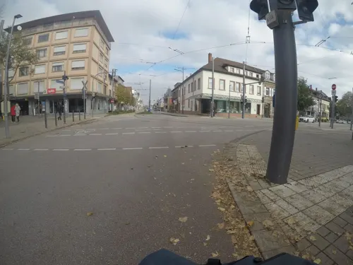
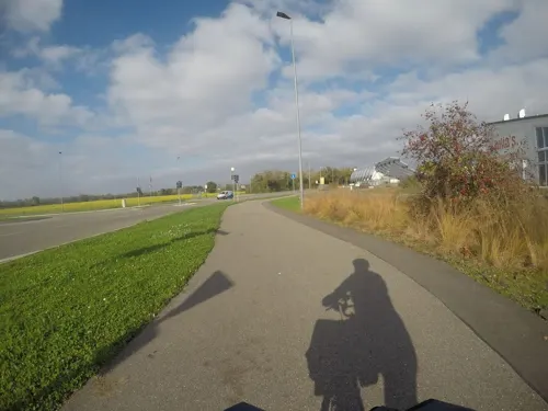
Julia’s… Restaurant & Café Bar
Restaurant · Italian · 3.0 km
4c Boschstraße, Kehl
We-Su 12:00-15:00,17:30-24:00
Restaurant Pizzeria Schwert;Hotel Schwert
Restaurant · Italian
51 Hauptstraße, Kehl
Mo-Fr 11:30-14:30,18:00-21:30; Sa 18:00-22:00
Schnitzelhaus Kehl
Restaurant · German
22 Friedrichstraße, Kehl
Tu-Th 17:00-23:00; Fr-Su 11:00-14:30, 17:00-23:00; Mo off
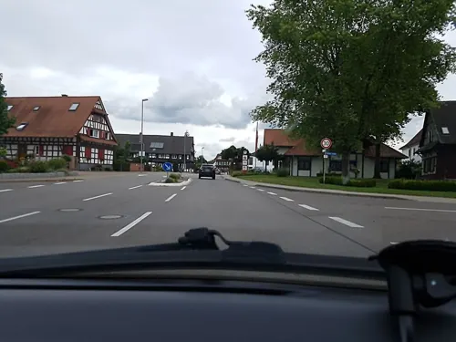
Zur Hoffnung
Restaurant · German · 5.1 km
1 Leutesheimer Straße, Kehl
We-Sa 17:30-23:00; Su;PH 11:30-15:00,17:30-23:00
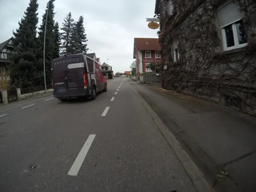
s'Kätte Hus
Restaurant · German · 5.2 km
24 Rastatter Straße, Kehl
We-Th 17:00-22:00; Fr,Sa 17:00-23:00; Su 16:00-23:00; Mo off
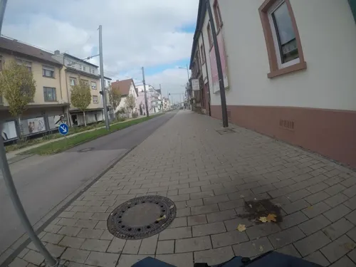
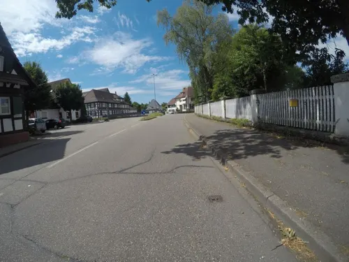


156 more on the map.
History
The village of Kehl was first mentioned in 1038. In 1338, the first permanent bridge between Kehl and Strasbourg was completed. In 1678, the city was taken over by France, as it was considered to be part of the defense system of Strasbourg. Hence the village was transformed into a fortress in 1683 by the French architect Vauban.
In 1681, the Imperial City of Strasbourg, a territory of the Holy Roman Empire that included Kehl, was annexed by Louis XIV, King of France. This annexation was recognized by the Treaty of Ryswick in 1697, but all right-bank territories were restored to the Empire, leading to Kehl's cession to the Margraviate of Baden the following year.
On May 7, 1770, Marie Antoinette was officially handed over by Austria to France on an island on the Rhine near Kehl. This island, which was uninhabited at the time but turned into a middle class settlement until the First World War, became known as Kommissionsinsel after the commission that received Marie Antoinette.
From the History section of Kehl on Wikipedia, under CC BY-SA 4.0.
Where to stay16
Churches and places of worship33
Shopping30
Gas and EV charging12
Schools, colleges and libraries30
Healthcare13
Map of Kehl
250 places. The map loads OpenStreetMap tiles when you open it.
Getting there and nearby towns
Lahr Airport (LHA) is the nearest airport with scheduled flights listed in OpenStreetMap, 23 km away.
- Offenburg 15 km southeast, about 15 min by car
- Oberkirch 20 km east, about 20 min by car
- Sinzheim 34 km northeast, about 34 min by car
- Rastatt 43 km northeast, about 43 min by car
- Teningen 49 km south, about 49 min by car
- Malsch 51 km northeast, about 51 min by car
- Waldkirch 54 km south, about 54 min by car
- Schramberg 57 km southeast, about 57 min by car
- St. Georgen im Schwarzwald 63 km southeast, about 1 h by car
- Karlsruhe 65 km northeast, about 1 h by car
Drive times are estimates from straight-line distance, not routes.
Local news
Headlines from INDB.
Reviews, tips and questions
Loading what members have shared...
Sources and licences
- GeoNames (CC BY 4.0): population, coordinates, regions and time zone
- Mapillary (see each image): photos
- OpenStreetMap contributors (ODbL 1.0): places, airports, map data
- Wikidata (CC0 1.0): elevation, founding date, time zone, website, landmarks and historic places
- Wikimedia Commons (see each image): photos
- Wikipedia (CC BY-SA 4.0): overview and history text
Photo credits
- Panorama Kehl-Straßburg Weißtannenturm 02, Karthoo, CC0
- Porte de la Sparkasse de Kehl, Valentin F.R., CC0
- Ligne D tramway de Strasbourg à Kehl, Cik54, CC BY-SA 4.0
- Ligne D tramway de Strasbourg - station Kehl Rathaus, Cik54, CC BY-SA 4.0
- L'hôtel de ville de Kehl - Kehl Rathaus, Valentin F.R., CC0
- Kehl - Fußgängerzone - panoramio, Baden de, CC BY 3.0
- Les belles tourelles de Kehl, Valentin F.R., CC0
- SWV Wegweiser OGKE003 Hochschule Kehl, Karthoo, CC0
- Mobilitätsstation Kehl Rathaus Bikesharing, Karthoo, CC0
- Mobilitätsstation Kehl Rathaus Carsharing, Karthoo, CC0
- Hochschule - Kehl - panoramio (4), Baden de, CC BY 3.0
- Hochschule - Kehl - panoramio (2), Baden de, CC BY 3.0
- Stadthalle Kehl - panoramio, Baden de, CC BY 3.0
- Stadthalle - Kehl - panoramio, Baden de, CC BY 3.0
- Hochschule - Kehl - panoramio (3), Baden de, CC BY 3.0
- Kehl - Stadthalle - panoramio, Baden de, CC BY 3.0
- Hochschule - Kehl - panoramio, Baden de, CC BY 3.0
- Marktplatz à Kehl en décembre (9648073049), Mathieu Nivelles, CC BY 2.0
- Hochschule - Kehl - panoramio (1), Baden de, CC BY 3.0
- Gruss aus Kehl - panoramio, Baden de, CC BY 3.0
- Marktplatz - Kehl - panoramio, Baden de, CC BY 3.0
- Kehl, de evangelische Friedenskirche IMG 5471 2023-05-07 15.31, Michielverbeek, CC BY-SA 4.0
- Kehl - Zentrum - panoramio, Baden de, CC BY 3.0
- Kehl, Germany - panoramio (1), Baden de, CC BY 3.0
- Marktplatz à Kehl en décembre 2012, Mathieu Nivelles, CC BY 2.0
- Tourist - Information - Kehl - panoramio (1), Baden de, CC BY 3.0
- Tourist - Information - Kehl - panoramio, Baden de, CC BY 3.0
- Kehl - Marktplatz - panoramio (3), Baden de, CC BY 3.0
- Marktplatz - Kehl - panoramio (2), Baden de, CC BY 3.0
- Tourist - Information - Kehl - panoramio (2), Baden de, CC BY 3.0
- Marktplatz - Kehl - panoramio (4), Baden de, CC BY 3.0
- Kehl - Marktplatz - panoramio (2), Baden de, CC BY 3.0
- Marktplatz - Kehl - panoramio (3), Baden de, CC BY 3.0
- Kehl - Marktplatz - panoramio, Baden de, CC BY 3.0
- Strasbourg Barrage Vauban après restauration 2012-01, Claude TRUONG-NGOC, CC BY-SA 3.0
- Beatus Rhenanus Bridge-msu-3361, Matthias Süßen, CC BY-SA 4.0
- Pierre Pflimlin Bridge Finished, German Wikipedia user:Rollerbär, CC BY-SA 3.0
- Ponts Couverts Strasbourg FRA 001, ignis, CC BY-SA 3.0
- Neue Eisenbahnbrücke fertig errichtet, PhiCo, CC BY-SA 4.0
- Opera of Strasbourg front view, Pedro J Pacheco, CC BY-SA 4.0
- Plan mur et tours Argentoratum, Johann-Martin Weiss, Public domain
- Strasbourg-Cabinet des Estampes et des Dessins, Ji-Elle, CC BY-SA 3.0
- Strasbourg Cathedral Exterior - Diliff, Diliff, CC BY-SA 3.0
- StPierreVieux 12, © Ralph Hammann - Wikimedia Commons, CC BY-SA 4.0
- Eglise Sainte-Aurélie de Strasbourg-Vue, Ji-Elle, CC BY-SA 3.0
- Église Saint-Étienne de Strasbourg août 2018, Photo Claude TRUONG-NGOC, CC BY-SA 4.0
- Strasbourg, décembre 2018 (45432700325), Yann Caradec from Paris, France, CC BY-SA 2.0
- Absolute Eglise St Guillaume 01, Jonathan M, CC BY-SA 3.0
- Église Saint-Maurice de Strasbourg, Fabien Fivaz, CC BY 2.0
- Église Saint-Nicolas de Strasbourg from Quai Saint-Nicolas, Pedro J Pacheco, CC BY-SA 4.0
- Neustadt (52297125377), Kent Wang from Barcelona, Spain, CC BY-SA 2.0
- Weißtannenturm Kehl, Benutzer:AlterVista, CC BY-SA 3.0
- Fachhochschule Kehl, PhiCo, CC BY-SA 3.0
- PasserelleMimram-J2R-RemiLEBLOND, Remi.leblond, CC BY 3.0
- Rhin Rohrschollen, Paralacre, CC0
- Kritermattepfad aurore 2009 05 25, Adalric67, CC BY-SA 4.0
- Bodersweier-08-Evangelische Kirche-gje, Gerd Eichmann, CC BY-SA 4.0
- Forêt de la Robertsau-Allée de la Digue, Ji-Elle, CC BY-SA 3.0
- 14-02-02-kork-kehl-by-RalfR-24, Ralf Roletschek, CC BY 3.0
- T-shirts Wikipédia - Wikimedia France., TCY, CC BY-SA 4.0
- Stolperstein Karl Rosenthal Kehl, L39p, CC BY-SA 3.0
- Stolperstein Claus Rosenthal Kehl, L39p, CC BY-SA 3.0
- Stolperstein Klara Wertheimer Kehl, L39p, CC BY-SA 3.0
- Kehl Falkenhausenschule Lazarus Mannheimer, Dguembel, CC BY-SA 4.0
- Stolperstein Alfred Rapp Kehl, Dguembel, Public domain
- Stolperstein Arnold Schwarzkachel Kehl, L39p, CC BY-SA 3.0
- Stolperstein Berta Wertheimer Kehl, Dguembel, Public domain
- Elise Wertheimer Kinzigstraße 21 Kehl IMG 4986, Plauelmedius, CC BY-SA 4.0
- Rheinstadion (Kehl), TWsk, CC BY-SA 4.0
- Epilepsiezentrum Kork 002 2020 02 07, Friedrich Haag, CC BY-SA 4.0
- Institut Le Bel Université Louis-Pasteur, Chtfn, CC BY 2.5
- Unistra tour de chimie et faculté de droit Strasbourg août 2019, Photo Claude TRUONG-NGOC, CC BY-SA 4.0
- Street-level photo, corkviewer, CC BY-SA 4.0
- Street-level photo, mfa, CC BY-SA 4.0
- Street-level photo, karthoo, CC BY-SA 4.0
- Street-level photo, mfa, CC BY-SA 4.0
- Street-level photo, mfa, CC BY-SA 4.0
- Street-level photo, mfa, CC BY-SA 4.0
- Street-level photo, corkviewer, CC BY-SA 4.0
- Street-level photo, mfa, CC BY-SA 4.0
- Street-level photo, mfa, CC BY-SA 4.0
- Street-level photo, karthoo, CC BY-SA 4.0
- Street-level photo, vk_s, CC BY-SA 4.0
- Street-level photo, karthoo, CC BY-SA 4.0
- Street-level photo, mfa, CC BY-SA 4.0
- Street-level photo, bct, CC BY-SA 4.0
- Street-level photo, corkviewer, CC BY-SA 4.0
- Street-level photo, corkviewer, CC BY-SA 4.0
- Street-level photo, corkviewer, CC BY-SA 4.0
- Street-level photo, mfa, CC BY-SA 4.0
- Street-level photo, DruideBizeps, CC BY-SA 4.0
- Street-level photo, karthoo, CC BY-SA 4.0
- Street-level photo, corkviewer, CC BY-SA 4.0


Page built November 8, 2026. Spotted a mistake? Tell us or suggest a place.