


Why visit Dorum
Townapedia lists 16 museums and landmarks, 5 parks and trails, 17 places to eat, 1 place to stay and 2 attractions in and around town.
Highlights include Alpakas vom Herr Hof, Niedersächsisches Deichmuseum and Feddersen Wierde.
Weather in Dorum
Forecast from MET Norway (CC BY 4.0). Full forecast
About Dorum
Dorum (German pronunciation: [ˈdoːʁʊm]) is a village and a former municipality in the district of Cuxhaven, in Lower Saxony, Germany. Since 1 January 2015 it has been part of the municipality Wurster Nordseeküste.
From the Wikipedia article Dorum (this version), under CC BY-SA 4.0.
Things to do2

Museums and landmarks16

Niedersächsisches Deichmuseum
Museum
16 Poststraße, Wurster Nordseeküste
Nov-Mar: off; Apr-Oct: Mo-Su 14:00-17:00

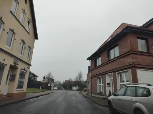
Feddersen Wierde
Monument and historic site · 3.2 km
Archaeological site in Lower Saxony, Germany




4 more on the map.
Parks, trails and playgrounds5


Restaurants and cafes17


Eiscafe Pinocchio
Cafe · Ice Cream
3A Poststraße, Wurster Nordseeküste
Th-Mo 15:00-21:00
Engelbrecht
Bakery
1a Osterbüttel, Wurster Nordseeküste
Mo-Fr 06:00-18:00; Sa 06:00-13:00; Su 07:30-17:00
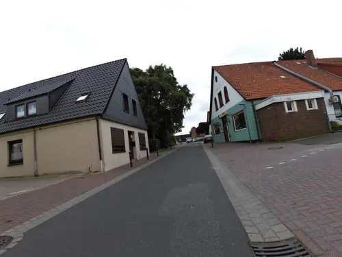
Linh
Restaurant · Asian
15 Lange Straße, Wurster Nordseeküste
We 17:30-21:00; Th-Su, PH 11:30-14:30, 17:30-21:00; Mo, Tu off
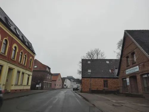
Wurster Hof
Restaurant · German
22 Speckenstraße, Wurster Nordseeküste
We-Fr 11:30-14:00,18:00-21:00; Sa 11:30-14:00,17:00-20:00




5 more on the map.
Where to stay1
Churches and places of worship7
Shopping9
Gas and EV charging4
Schools, colleges and libraries2
Healthcare1
Map of Dorum
64 places. The map loads OpenStreetMap tiles when you open it.
Getting there and nearby towns
Fliegerhorst Nordholz (FCN) is the nearest airport with scheduled flights listed in OpenStreetMap, 11 km away.
- Nordholz 11 km north, about 11 min by car
- Bremerhaven 15 km south, about 15 min by car
- Drangstedt 15 km southeast, about 15 min by car
- Schiffdorf 18 km south, about 18 min by car
- Nordenham 21 km south, about 21 min by car
- Cuxhaven 22 km northeast, about 22 min by car
- Loxstedt 25 km south, about 25 min by car
- Otterndorf 26 km northeast, about 26 min by car
- Lunestedt 31 km southeast, about 31 min by car
- Wilhelmshaven 34 km southwest, about 34 min by car
Drive times are estimates from straight-line distance, not routes.
Local news
Headlines from INDB.
Reviews, tips and questions
Loading what members have shared...
Sources and licences
- GeoNames (CC BY 4.0): population, coordinates, regions and time zone
- Mapillary (see each image): photos
- OpenStreetMap contributors (ODbL 1.0): places, airports, map data
- Wikidata (CC0 1.0): elevation, founding date, time zone, website, landmarks and historic places
- Wikimedia Commons (see each image): photos
- Wikipedia (CC BY-SA 4.0): overview and history text
Photo credits
- Luftaufnahmen Nordseekueste 2013 05 by-RaBoe 671, © Ra Boe / Wikipedia, CC BY-SA 3.0 de
- Bahnhofsschild Dorum 170709, Clic, CC BY-SA 4.0
- Evb 648 198 Dorum 2412011500, Clic, CC BY 4.0
- Evb 648 198 Dorum 2412011501, Clic, CC BY 4.0
- Evb 554 013 Dorum 2412011459, Clic, CC BY 4.0
- Evb 554 013 Dorum 2412011500, Clic, CC BY 4.0
- Evb 554 013 Dorum 2412011458, Clic, CC BY 4.0
- Evb 554 013 Dorum 2412011456, Clic, CC BY 4.0
- Evb 554 013 Dorum 2412011457, Clic, CC BY 4.0
- 2021 Dorum - by 2eight - DJI 0178, Stefan Brending ( 2eight ), CC BY-SA 3.0 de
- 2021 Dorum - Themeln - by 2eight -DJI 0188, Stefan Brending ( 2eight ), CC BY-SA 3.0 de
- Feddersen Wierde Hofmodell, Axel Hindemith, Public domain
- Bülzenbett (Sievern), Geschichtsmecki at de.wikipedia, Public domain
- Dorum Kirche, Uwe Barghaan, CC BY 3.0
- Feddewarder-sieltor hg, Hannes Grobe, CC BY-SA 4.0
- Mulsum Kirche247N, Ulamm ( talk ), CC BY-SA 4.0
- St. Peter und Paul Kirche, Cappel, AnitaBeimert, CC BY-SA 4.0
- Misselwaren, Kirche, No machine-readable author provided. Geoz assumed (based on copyright claims)., Public domain
- Holßel St Jacobus K 20241015 1, Helmut Seger, CC BY-SA 4.0
- Megalith tomb near Sievern, Foto von Benutzer:Geoz, Public domain
- Cuxhaven Fotoflugkurs 4189, Ailura, CC BY-SA 3.0
- 2013-05-03 Fotoflug Nordholz Papenburg HP 3712, Alchemist-hp ( talk ), CC BY-SA 3.0
- 2013-05-03 Fotoflug Nordholz Papenburg HP 3710, Alchemist-hp ( talk ), CC BY-SA 3.0
- 2013-05-03 Fotoflug Nordholz Papenburg HP 3709, Alchemist-hp ( talk ), CC BY-SA 3.0
- 2013-05-03 Fotoflug Nordholz Papenburg HP 3708, Alchemist-hp ( talk ), CC BY-SA 3.0
- 2013-05-03 Fotoflug Nordholz Papenburg HP 3705, Alchemist-hp ( talk ), CC BY-SA 3.0
- Sahlenburg Watt, Dr.Haus, CC BY-SA 3.0
- Luftaufnahmen Nordseekueste 2013 05 by-RaBoe 678, © Ra Boe / Wikipedia, CC BY-SA 3.0 de
- Misselwarden 2024 - Altes Pastorenhaus - by-RaBoe 005, Raboe001, CC BY-SA 3.0
- Street-level photo, thetornado76, CC BY-SA 4.0
- Street-level photo, thetornado76, CC BY-SA 4.0
- Street-level photo, bitnapper, CC BY-SA 4.0
- Street-level photo, thetornado76, CC BY-SA 4.0
- Street-level photo, thetornado76, CC BY-SA 4.0
- Street-level photo, nesshof, CC BY-SA 4.0
- Street-level photo, thetornado76, CC BY-SA 4.0
- Street-level photo, thetornado76, CC BY-SA 4.0
- Street-level photo, thetornado76, CC BY-SA 4.0


Page built November 9, 2026. Spotted a mistake? Tell us or suggest a place.