


Why visit Nordholz
Townapedia lists 42 museums and landmarks, 19 parks and trails, 24 places to eat, 14 places to stay and 10 attractions in and around town.
Highlights include Hofladen Biolandhof Fischer, Wanhödener Berg, Aeronauticum and Windmühle Nordholz.
Weather in Nordholz
Forecast from MET Norway (CC BY 4.0). Full forecast
About Nordholz
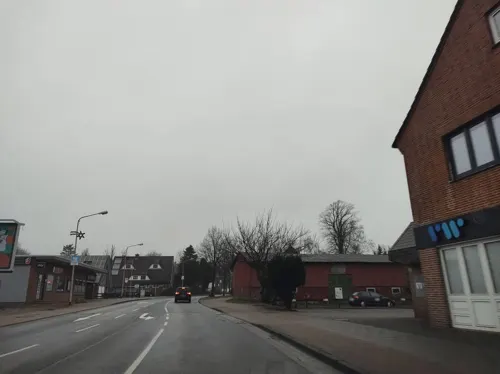
Nordholz (German pronunciation: [ˈnɔʁthɔlts]; Low German: Noordholt) is a village and a former municipality in the district of Cuxhaven, in Lower Saxony, Germany. Since 1 January 2015 it is part of the municipality Wurster Nordseeküste. It is situated approximately 25 km north of Bremerhaven, and 12 km southwest of Cuxhaven.
From the Wikipedia article Nordholz (this version), under CC BY-SA 4.0.
Things to do10
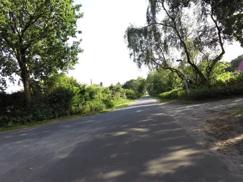

Museums and landmarks42

Aeronauticum
Museum · 2.0 km
3 Peter-Strasser-Platz, Wurster Nordseeküste
Mar 15 - Oct 31: Mo-Su, PH 10:30-17:30; Nov 1-Mar 14: Mo-Su, PH...



Historischer Grenzstein
Monument and historic site · 4.1 km
Grenzstein aus dem Jahr 1589/Strandungsgrenze zwischen dem Land Wursten und dem Amt Ritzebüttel


Windmühle Midlum
Monument and historic site · 5.8 km
Reetgedeckter dreigeschossigen Backsteinachteck-Gallerieholländer mit Segelgatterflügel und Stert
30 more on the map.
Parks, trails and playgrounds19






7 more on the map.
Restaurants and cafes24
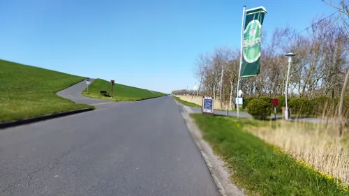
Hof Siats & De groote Deel
Restaurant · Flammkuchen · 4.8 km
103 Deichweg, Wurster Nordseeküste
Mi+Fr 17:00-21:00

Restaurant Eymers
Restaurant · German, Seafood · 3.6 km
29 Zum Kutterhafen, Wurster Nordseeküste
Mo, We-Su 11:30-14:00, 17:30-21:00
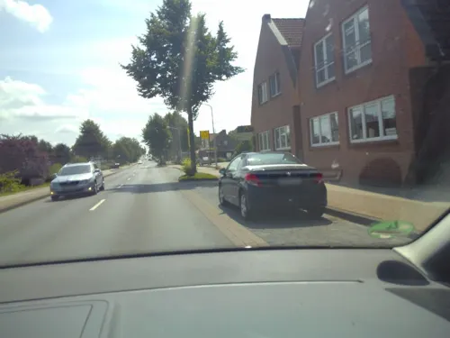
Uwe's gemütliches Restaurant
Restaurant · German, Regional · 5.0 km
6 Schmetterlingsweg, Cuxhaven
Mo-Sa 18:00-22:00; Su off; PH 11:30-14:30,17:30-22:00
Zum Alten Torhaus Anno 1786 "Café Schwein"
Restaurant · German, Regional · 5.6 km
135 Lüdingworther Straße, Cuxhaven
Th-Su 14:00-18:00
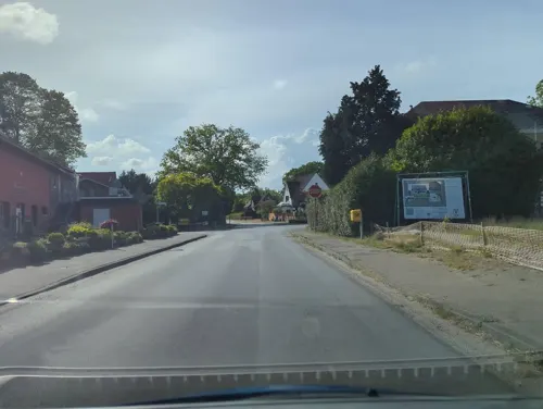
Oxstedter Hof
Restaurant · Regional · 1.3 km
10 Am Möhlendiek, Cuxhaven
Tu-Sa 17:30-21:30, Sa 11:30-14:00; Su 11:30-21:00; Mo off
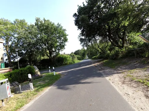
Melkhus Biolandhof Fischer
Cafe · Cake · 6.1 km
56 Arenscher Straße, Cuxhaven
Th-Su 11:00-17:00

Bäckerei Tiedemann - Filiale Altenwalde
Bakery · 5.6 km
63 Hauptstraße, Cuxhaven
Mo-Sa 08:00-19:00; Su,PH off
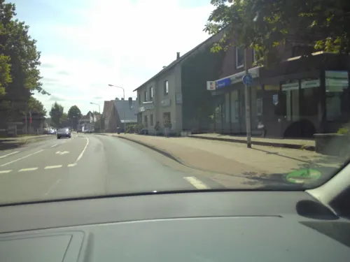
Bäckerei Tiedemann - Hauptgeschäft Altenwalde
Bakery · 5.3 km
58 Hauptstraße, Cuxhaven
Mo-Fr 06:00-18:00; Sa 05:15-13:00; Su 07:00-12:00; PH off
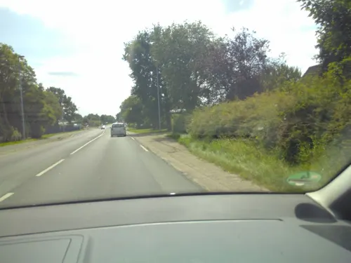
Hexenstübchen
Restaurant · 1.9 km
14 Bundesstraße, Wurster Nordseeküste
Mo-Su 11:00-14:00,17:00-20:00
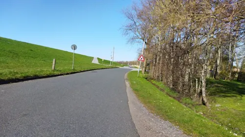


12 more on the map.
History
Nordholz belonged to the Prince-Archbishopric of Bremen, established in 1180. In 1648 the Prince-Archbishopric was transformed into the Duchy of Bremen, which was first ruled in personal union by the Swedish Crown - interrupted by a Danish occupation (1712–1715) - and from 1715 on by the Hanoverian Crown. In 1807 the ephemeric Kingdom of Westphalia annexed the Duchy, before France annexed it in 1810. In 1813 the Duchy was restored to the Electorate of Hanover, which - after its upgrade to the Kingdom of Hanover in 1814 - incorporated the Duchy in a real union and the Ducal territory, including Nordholz, became part of the new Stade Region, established in 1823.
From the History section of Nordholz on Wikipedia, under CC BY-SA 4.0.
Where to stay14
Campingplatz Cappel-Neufeld (Außendeich)
Campground · 5.5 km
Cappel-Neufelder Sieltrift, Wurster Nordseeküste
Churches and places of worship6
Zwölf Apostel Kirche
Church · Roman Catholic · 4.5 km
16 Robert-Koch-Straße, Cuxhaven
Neuapostolische Kirche
Church · New Apostolic · 1.7 km
2 Kurze Straße, Wurster Nordseeküste
Shopping9
Gas and EV charging6
Hoyer Tank-Treff Nordholz-Wanhöden
Gas station · 6.4 km
223 Wanhödener Straße, Wurster Nordseeküste
Schools, colleges and libraries4
Healthcare3
Regionales Medizinisches Versorgungszentrum Nordholz
Clinic and pharmacy · 0.6 km
6C Feuerweg, Wurster Nordseeküste
Map of Nordholz
137 places. The map loads OpenStreetMap tiles when you open it.
Getting there and nearby towns
Fliegerhorst Nordholz (FCN) is the nearest airport with scheduled flights listed in OpenStreetMap, 3 km away.
- Cuxhaven 11 km northeast, about 11 min by car
- Otterndorf 19 km east, about 19 min by car
- Bremerhaven 26 km south, about 26 min by car
- Schiffdorf 28 km south, about 28 min by car
- Nordenham 33 km south, about 33 min by car
- Brunsbüttel 35 km east, about 35 min by car
- Loxstedt 35 km south, about 35 min by car
- Schillig 40 km west, about 40 min by car
- Wilhelmshaven 43 km southwest, about 43 min by car
- Bremervörde 48 km southeast, about 48 min by car
Drive times are estimates from straight-line distance, not routes.
Local news
Headlines from INDB.
Reviews, tips and questions
Loading what members have shared...
Sources and licences
- GeoNames (CC BY 4.0): population, coordinates, regions and time zone
- Mapillary (see each image): photos
- OpenStreetMap contributors (ODbL 1.0): places, airports, map data
- Wikidata (CC0 1.0): elevation, founding date, time zone, website
- Wikimedia Commons (see each image): photos
- Wikipedia (CC BY-SA 4.0): overview and history text
Photo credits
- Kirche zum Guten Hirten (Nordholz), Olga Ernst, CC BY-SA 4.0
- Verwaltung Nordholz, Thomas Buddenbohm, CC BY-SA 4.0
- Nordholz ex Führungsber 20180701 2, Helmut Seger, CC BY-SA 4.0
- Kirche zum Guten Hirten, Nordholz, Olga Ernst, CC BY-SA 4.0
- Kirche zum Guten Hirten in Nordholz, Olga Ernst, CC BY-SA 4.0
- Evangelische Kirche in Nordholz, Olga Ernst, CC BY-SA 4.0
- Evangelische Kirche, Nordholz, Olga Ernst, CC BY-SA 4.0
- Evangelische Kirche (Nordholz), Olga Ernst, CC BY-SA 4.0
- Bahnhofsschild Nordholz 181116, Clic, CC BY-SA 4.0
- Bahnhofsschild Nordholz 170709, Clic, CC BY-SA 4.0
- Naturschutzgebiet Stechginsterheide in Nordholz 003, Smarties, CC BY-SA 4.0
- Naturschutzgebiet Stechginsterheide in Nordholz 004, Smarties, CC BY-SA 4.0
- Naturschutzgebiet Stechginsterheide in Nordholz 006, Smarties, CC BY-SA 4.0
- Naturschutzgebiet Stechginsterheide in Nordholz 005, Smarties, CC BY-SA 4.0
- Naturschutzgebiet Stechginsterheide in Nordholz 002, Smarties, CC BY-SA 4.0
- 2012-05-13 Nordsee-Luftbilder DSCF8466, Martina Nolte, CC BY-SA 3.0 de
- 13-02-23-fotoflugkurs-cux-by-RalfR-041, Ralf Roletschek, CC BY 3.0
- Luftaufnahmen Nordseekueste 2012-05-by-RaBoe-032, I have published this image as author Ra Boe under the " CC-BY-SA-3.0 " in Wikipedia. This means that free, commercial usage outside of Wikipedia is permitted under the following licence terms..., CC BY-SA 3.0 de
- Eichenkrattwälder bei Berensch, Rkarpa01, CC BY-SA 3.0
- Naturschutzgebiet Stechginsterheide in Nordholz, Smarties, CC BY-SA 4.0
- Großsteingrab Wanhöden 01, Einsamer Schütze, CC BY-SA 3.0
- Großsteingrab Midlum 1 06, Einsamer Schütze, CC BY-SA 3.0
- Kirche Zwölf Apostel Cuxhaven-Altenwalde, Sichi77, CC BY-SA 4.0
- Berensch Grenzstein Wappen Bremen, Oberlausitzerin64, CC BY-SA 4.0
- Nordsee-LF8463Spieka Kirche v SO, Martina Nolte, CC BY-SA 3.0 de
- Cuxhaven AERONAUTICUM 03, Ra Boe, CC BY-SA 2.5
- 2012-05-28 Fotoflug Cuxhaven Wilhelmshaven DSC 3814, Martina Nolte, CC BY-SA 3.0 de
- Midlum WiM 20130824, Helmut Seger, CC BY-SA 4.0
- Naturschutzgebiet Klinten, Smarties, CC BY-SA 4.0
- 13-02-23-fotoflugkurs-cux-by-RalfR-063, Ralf Roletschek, CC BY 3.0
- 13-02-23-fotoflugkurs-cux-by-RalfR-064, Ralf Roletschek, CC BY 3.0
- Oxstedter Bach (Straßenfleth), Smarties, CC BY-SA 4.0
- Tornado 43+55 Bundesmarine, MightyEagleGER, CC BY-SA 4.0
- Luftaufnahmen Nordseekueste 2012-05-by-RaBoe-024, © Ra Boe / Wikipedia, CC BY-SA 3.0 de
- Naturschutzgebiet Klinten 002, Smarties, CC BY-SA 4.0
- Street-level photo, changchun1, CC BY-SA 4.0
- Street-level photo, zuse, CC BY-SA 4.0
- Street-level photo, hotteliene, CC BY-SA 4.0
- Street-level photo, zuse, CC BY-SA 4.0
- Street-level photo, zuse, CC BY-SA 4.0
- Street-level photo, hendel, CC BY-SA 4.0
- Street-level photo, thetornado76, CC BY-SA 4.0
- Street-level photo, bitnapper, CC BY-SA 4.0
- Street-level photo, bitnapper, CC BY-SA 4.0
- Street-level photo, zuse, CC BY-SA 4.0
- Street-level photo, zuse, CC BY-SA 4.0
- Street-level photo, thetornado76, CC BY-SA 4.0
- Street-level photo, changchun1, CC BY-SA 4.0
- Street-level photo, changchun1, CC BY-SA 4.0
- Street-level photo, zuse, CC BY-SA 4.0
- Street-level photo, thetornado76, CC BY-SA 4.0
- Street-level photo, zuse, CC BY-SA 4.0
- Street-level photo, thetornado76, CC BY-SA 4.0
- Street-level photo, changchun1, CC BY-SA 4.0
- Street-level photo, thetornado76, CC BY-SA 4.0


Page built November 9, 2026. Spotted a mistake? Tell us or suggest a place.