


Why visit Otterndorf
Townapedia lists 18 museums and landmarks, 14 parks and trails, 47 places to eat, 15 places to stay and 9 attractions in and around town.
Highlights include Leuchtfeuer Otterndorf/ Belum, Oberfeuer Belum, Kranichhaus and Museum gegenstandsfreier Kunst.
Weather in Otterndorf
Forecast from MET Norway (CC BY 4.0). Full forecast
About Otterndorf
Otterndorf (German: [ˈɔtɐndɔʁf] ; Low German: Ot(t)erndörp) is a town on the coast of the North Sea in the federal state of Lower Saxony, Germany, and is part of the collective municipality (Samtgemeinde) of Land Hadeln. The town, located in the administrative district (Landkreis) of Cuxhaven, is at the mouth of the river Medem, part of the Elbe delta. The old town centre (Altstadt) features a number of half-timbered houses.
From the Wikipedia article Otterndorf (this version), under CC BY-SA 4.0.
Things to do9







Museums and landmarks18

Kranichhaus
Museum
3 Reichenstraße, Otterndorf
May-Oct: Tu-Fr 10:00-12:00,14:30-16:30; Sa-Su 14:30-16:30;...

Museum gegenstandsfreier Kunst
Museum
10 Marktstraße, Otterndorf
Tu-Fr 10:00-13:00, 15:00-18:00; Sa 15:00-18:00

J.-H.-Voß-Literaturmuseum
Museum
8 Johann-Heinrich-Voß-Straße, Otterndorf
Puppenstube Otterndorf
Museum
12 Marktstraße, Otterndorf
Apr-Oct Th-Su 14:30-17:00; Nov-Mar Th,Su 14:30-17:00



Denkmal Hinrich W. Kopf
Monument and historic site · 3.9 km
H. W. Kopf war der erste Ministerpräsident des 1946 wiedererrichteten Landes Hannover und danach erster Ministerpräsident von Niedersachsen

6 more on the map.
Parks, trails and playgrounds14






2 more on the map.
Restaurants and cafes47

Bruckert’s
Restaurant · German, Regional, Burger, Chicken, American, Ice Cream, Seafood, International, Noodle, Fish, Juice, Cake, Pasta, Salad, Dessert, Steak House · 0.9 km
In dem Nordseebad Otterndorf, eingebettet an der Elbmündung, finden Sie unser Restaurant & Bar "Bruckert's" als ein Original.
32a Cuxhavener Straße, Otterndorf
Mo-Su 09:00-23:00
Gasthaus "Zum Elbblick"
Restaurant · German · 1.5 km
1 Deichstraße, Otterndorf
Mo-Su 10:00-14:00, 17:30-22:00; We off
Haduloha
Restaurant · German
24 Marktstraße, Otterndorf
Mo,Tu,Th-Sa 17:30-22:00; PH,Su 11:30-14:00,17:30-22:00

Café Zaubernuß
Cafe · Cake, Coffee Shop
56 Große Dammstraße, Otterndorf
Th-Tu,PH 13:30-18:00; We off
Da Bruno
Restaurant · Italian · 0.6 km
Fröbelweg, Otterndorf
Mo-Su 18:00-22:30


Grill-Restaurant Kindler
Restaurant · German · 0.7 km
12 Bahnhofstraße, Otterndorf
Mo-Fr 07:30-16:00; Sa 07:30-14:00
Hofcafe Zum alten Backhaus
Cafe · Cake, Ice Cream, Tea · 2.9 km
26 Stader Landstraße, Otterndorf
We-Su 14:00-18:00
35 more on the map.
History
Otterndorf belongs to the Land of Hadeln, first an exclave of the younger Duchy of Saxony and after its de facto dynastic partition in 1296 of the Duchy of Saxe-Lauenburg, established de jure in 1260. The first written evidence of the town of Otterndorf dates from the year 1261 in a document written by Godefridus who was a Priest. In 1400, Otterndorf was granted city rights by Eric IV, Duke of Saxe-Lauenburg.
In 1728 Emperor Charles VI enfeoffed the George II Augustus and his House of Hanover in personal union with the reverted fief of Saxe-Lauenburg. By a redeployment of Hanoverian territories in 1731 the Hanoverian Duchies of Bremen and Verden were conveyed the administration of the neighboured Land of Hadeln. The Kingdom of Hanover incorporated the Land of Hadeln in a real union and its territory, including Otterndorf, became part of the new Stade Region, established in 1823.
From the History section of Otterndorf on Wikipedia, under CC BY-SA 4.0.
Where to stay15
Das Möwennest
Motel and hotel · 0.8 km
11 Hinrich-Wilhelm-Kopf-Straße, Otterndorf
Ferienwohnungen An der Medem
Motel and hotel · 3.6 km
3 Brüninghemm, Neuenkirchen
Churches and places of worship5
Neuapostolische Kirche
Church · New Apostolic · 0.6 km
11 Rosenstraße, Otterndorf
Shopping7
Gas and EV charging1
Schools, colleges and libraries9
Healthcare4
Map of Otterndorf
129 places. The map loads OpenStreetMap tiles when you open it.
Getting there and nearby towns
Fliegerhorst Nordholz (FCN) is the nearest airport with scheduled flights listed in OpenStreetMap, 17 km away.
- Cuxhaven 15 km northwest, about 15 min by car
- Brunsbüttel 16 km northeast, about 16 min by car
- Drochtersen 34 km east, about 34 min by car
- Glückstadt 34 km east, about 34 min by car
- Bremerhaven 36 km southwest, about 36 min by car
- Schiffdorf 35 km southwest, about 35 min by car
- Bremervörde 40 km southeast, about 40 min by car
- Itzehoe 42 km east, about 42 min by car
- Loxstedt 41 km southwest, about 41 min by car
- Hansestadt Stade 45 km southeast, about 45 min by car
Drive times are estimates from straight-line distance, not routes.
Local news
Headlines from INDB.
Reviews, tips and questions
Loading what members have shared...
Sources and licences
- GeoNames (CC BY 4.0): population, coordinates, regions and time zone
- Mapillary (see each image): photos
- OpenStreetMap contributors (ODbL 1.0): places, airports, map data
- Wikidata (CC0 1.0): elevation, founding date, time zone, website
- Wikimedia Commons (see each image): photos
- Wikipedia (CC BY-SA 4.0): overview and history text
Photo credits
- Otterndorf Kreisel 02 (RaBoe), © Ra Boe / Wikipedia, CC BY-SA 3.0
- Otterndorf 2024 - Gymnasium - by-RaBoe 001, Raboe001, CC BY-SA 3.0
- Otterndorf 2023 -Soleschwimmbad- by-RaBoe 002, Raboe001, CC BY-SA 3.0
- Otterndorf 2023 -Soleschwimmbad- by-RaBoe 003, Raboe001, CC BY-SA 3.0
- Otterndorf -SoleTherme -2017 by RaBoe 03, © Ra Boe / Wikipedia, CC BY-SA 3.0 de
- Otterndorf -SoleTherme -2017 by RaBoe 04, © Ra Boe / Wikipedia, CC BY-SA 3.0 de
- Otterndorf -SoleTherme -2017 by RaBoe 01, Raboe001, CC BY-SA 3.0 de
- Otterndorf -SoleTherme -2017 by RaBoe 02, © Ra Boe / Wikipedia, CC BY-SA 3.0 de
- 2021-08-18 Otterndorf Am Schlossgraben 6 bis 16, Bärbel Miemietz, CC BY-SA 4.0
- 2021-08-18 Otterndorf Am Schlossgraben 4 bis 16, Bärbel Miemietz, CC BY-SA 4.0
- Otterndorf 2024 - Wallstraße - by-RaBoe 021, Raboe001, CC BY-SA 3.0
- Otterndorf 2024 - Wallstraße - by-RaBoe 020, Raboe001, CC BY-SA 3.0
- Otterndorf 2024 - Wallstraße - by-RaBoe 019, Raboe001, CC BY-SA 3.0
- 2021-08-18 Otterndorf Am Schlossgraben 14, 16, Bärbel Miemietz, CC BY-SA 4.0
- Otterndorf 2024 - Wallstraße - by-RaBoe 018, Raboe001, CC BY-SA 3.0
- Otterndorf 2023 - Tourist-Information - by-RaBoe 003, Raboe001, CC BY-SA 3.0
- Otterndorf 2023 -Tourist-Information - by-RaBoe 002, Raboe001, CC BY-SA 3.0
- Otterndorf Torhaus, Tvabutzku1234, CC0
- Otterndorf 2024 - Wohnhaus Sackstraße 17 - by-RaBoe 008, Raboe001, CC BY-SA 3.0
- Otterndorf 2024 - Sackstraße - by-RaBoe 010, Raboe001, CC BY-SA 3.0
- Otterndorf 2024 - Sackstraße - by-RaBoe 009, Raboe001, CC BY-SA 3.0
- Otterndorf 2024 - Sackstraße- by-RaBoe 011, Raboe001, CC BY-SA 3.0
- Otterndorf 2024 - Sackstraße - by-RaBoe 012, Raboe001, CC BY-SA 3.0
- Naturschutzgebiet Belumer Aussendeich, Lämpel, CC BY-SA 3.0
- Otterndorf 2008 - Heilig-Kreuz-Kirche - by-RaBoe 001, Ra Boe, CC BY-SA 3.0
- Otterndorf Kirche Panorama 01 (RaBoe), Ra Boe, CC BY-SA 3.0
- Fahne vor dem MgK, Rainer Hoff, CC BY-SA 3.0
- Otterndorf 2006 -Oberfeuer Otterndorf- by-RaBoe 02, Ra Boe, CC BY-SA 2.5
- Otterndorf Bibliothek 01 (RaBoe), Ra Boe, CC BY-SA 3.0
- Otterndorf 2024 - Schulgebäude Cuxhavener Straße 16 - by-RaBoe 042, Raboe001, CC BY-SA 3.0
- Belum -Oberfeuer Belum- 2006 by-RaBoe 02, Ra Boe, CC BY-SA 2.5
- Otterndorf voss haus, Ra Boe, CC BY-SA 2.5
- Neuenkirchen (Land Hadeln) 2020 -St. Marienkirche-by-RaBoe 07, © Ra Boe / Wikipedia, CC BY-SA 3.0 de
- Otterndorf01 011, Niclas Röse, CC BY-SA 3.0
- Otterndorf 2008 - Heilig-Kreuz-Kirche - by-RaBoe 001, Ra Boe, CC BY-SA 3.0
- Otterndorf Kreuz O, Kirchenfan, CC0
- Sympetrum danae 3(loz), Loz (L. B. Tettenborn), CC BY-SA 3.0
- LBT167(loz), Loz (L. B. Tettenborn), CC BY-SA 3.0
- LBT120(loz), Loz (L. B. Tettenborn), CC BY-SA 3.0
- LBT181(loz), Loz (L. B. Tettenborn), CC BY-SA 3.0
- Glameyer Stack Sep2012, Tvabutzku1234, CC0
- Medemfahrt 2014 by-RaBoe 144, © Ra Boe / Wikipedia, CC BY-SA 3.0 de
- Otterndorf Alte-Lateinschule April-2017 DSC 1533, C. Löser, CC BY 3.0 de
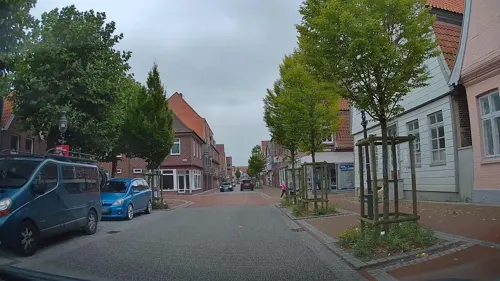
- Street-level photo, matapiet, CC BY-SA 4.0
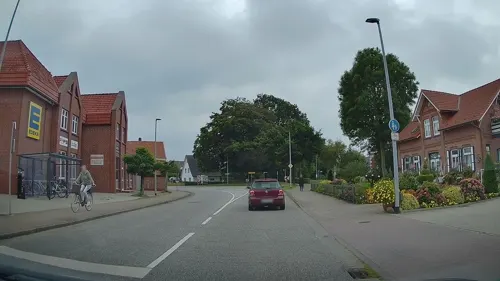
- Street-level photo, hendel, CC BY-SA 4.0
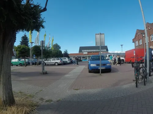
- Street-level photo, hendel, CC BY-SA 4.0
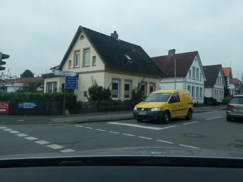
- Street-level photo, ddr628, CC BY-SA 4.0
- Street-level photo, matapiet, CC BY-SA 4.0
- Street-level photo, hendel, CC BY-SA 4.0
- Street-level photo, veloroute_hamburg, CC BY-SA 4.0
- Street-level photo, nesshof, CC BY-SA 4.0
- Street-level photo, veloroute_hamburg, CC BY-SA 4.0
- Street-level photo, veloroute_hamburg, CC BY-SA 4.0
- Street-level photo, hendel, CC BY-SA 4.0
- Street-level photo, nesshof, CC BY-SA 4.0
- Street-level photo, hendel, CC BY-SA 4.0
- Street-level photo, hendel, CC BY-SA 4.0
- Street-level photo, hendel, CC BY-SA 4.0
- Street-level photo, veloroute_hamburg, CC BY-SA 4.0
- Street-level photo, wingis, CC BY-SA 4.0
- Street-level photo, hendel, CC BY-SA 4.0
- Street-level photo, matapiet, CC BY-SA 4.0
- Street-level photo, hendel, CC BY-SA 4.0
- Street-level photo, nesshof, CC BY-SA 4.0
- Street-level photo, hendel, CC BY-SA 4.0
- Street-level photo, hendel, CC BY-SA 4.0


Page built November 9, 2026. Spotted a mistake? Tell us or suggest a place.