


Why visit Harsefeld
Townapedia lists 21 museums and landmarks, 17 parks and trails, 26 places to eat, 4 places to stay and 8 attractions in and around town.
Highlights include Tipke's Hofkontor, Hollenbecker Eierhus, Großsteingrab Horneburg 2 and Großsteingrab Horneburg 3.
Weather in Harsefeld
Forecast from MET Norway (CC BY 4.0). Full forecast
About Harsefeld
Harsefeld (in High German, in Low Saxon: Harsfeld; literally horse field) is a municipality situated south-west of Hamburg (Germany). Harsefeld has a population of c. 12,500 and belongs to the district of Stade, Lower Saxony.
From the Wikipedia article Harsefeld (this version), under CC BY-SA 4.0.
Things to do8
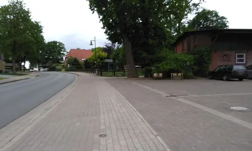
Tipke's Hofkontor
Farm and orchard · 3.3 km
32 Hauptstraße, Harsefeld
Mo 13:00-18:00; Tu-Fr 08:00-18:00; Sa 08:00-13:00
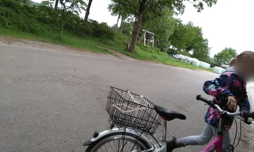
Hofladen Holtermann
Farm and orchard
20 Marktstraße, Harsefeld
Mo-Fr 07:00-18:30; Sa 07:00-13:30


Verkaufshaus Hof Holtermann
Farm and orchard · 2.1 km
Verkauft Eier, Eierlikör, Eis, Wasser, und andere Produkte

Museums and landmarks21




Besichtigungsraum Hof Holtermann
Monument and historic site · 2.1 km
Bietet Werktags ohne Anmeldung einen Blick in den Hühnerstall
1A Horster Weg, Harsefeld
9 more on the map.
Parks, trails and playgrounds17





Kidsplanet
Sports field and stadium · 1.4 km
KinderWunderwelt, Spielen, Toben, laut sein, Abenteuerspielplatz, Riesen-Hüpfburg, Trampoline, Rutschen, Indoor-Soccer, Air-Hockey,...
17 Jahnstraße, Harsefeld
Mo-Fr 14:00-19:00; We,Sa,Su 10:00-19:00


5 more on the map.
Restaurants and cafes26
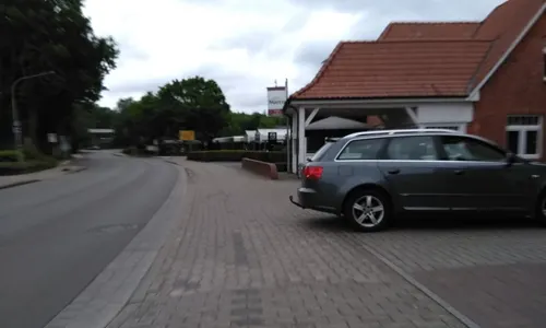
Pizzeria San Marco
Restaurant · Pizza · 0.7 km
50 Herrenstraße, Harsefeld
Tu-Fr 11:00-14:00,17:00-22:30;Sa,Su,PH 12:30-22:30


Cafe Lieblingsplatz
Cafe · 3.9 km
28 Am Steinbeck, Harsefeld
Mo-Tu off; We-Fr 09:00-12:30; Sa-Su 09:00-17:00
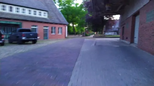
De' Brothöker
Bakery · 3.8 km
6 Landstraße, Bargstedt
Mo-Fr 04:00-18:00; Sa 04:00-12:00; Su 06:00-11:00
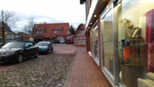
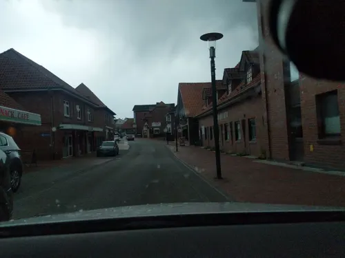

Einfach Köstlich
Restaurant · Burger, German
2 Am Amtshof, Harsefeld
Tu-Su 12:00-14:30,17:00-22:00
Viebrocks Gasthaus
Restaurant · Regional · 3.5 km
1 Rutenbeck, Bliedersdorf
09:00-22:00; Tu off


14 more on the map.
History
In 1104 a Benedictine Archabbey was founded in Harsefeld, then within the Duchy of Saxony. After the carve-up of the duchy in 1180, Harsefeld belonged to the Prince-Archbishopric of Bremen, a new territory of imperial immediacy of the Holy Roman Empire. In the mid-16th century, when most inhabitants of the prince-archbishopric adopted Lutheranism, the archabbey remained a stronghold of Catholicism. During the Leaguist occupation under Tilly (1628–1630), the archabbey became a starting point for the attempts of re-Catholicisation.
In 1648 the prince-archbishopric was transformed into the Duchy of Bremen, which was first ruled in personal union by the Swedish crown. The new rulers dissolved the archabbey and most of its structures fell in ruins after 1648. From 1715 on, the House of Hanover ruled the duchy. In 1807 the ephemeric Kingdom of Westphalia annexed the Duchy, before France annexed it in 1810. In 1813 the Duchy was restored to the Electorate of Hanover, which – after its upgrade to the Kingdom of Hanover in 1814 – incorporated the Duchy in a real union and the Ducal territory, including Harsefeld, became part of the Stade Region, established in 1823.
From the History section of Harsefeld on Wikipedia, under CC BY-SA 4.0.
Where to stay4
Churches and places of worship8
Kirche Ahlerstedt
Church · Lutheran · 6.1 km
Stader Straße, Ahlerstedt
Shopping11
Gas and EV charging6
Schools, colleges and libraries5
Healthcare3
Map of Harsefeld
109 places. The map loads OpenStreetMap tiles when you open it.
Getting there and nearby towns
Hamburg Finkenwerder Airport (XFW) is the nearest airport with scheduled flights listed in OpenStreetMap, 24 km away.
- Jork 15 km northeast, about 15 min by car
- Hansestadt Stade 16 km north, about 16 min by car
- Neu Wulmstorf 19 km east, about 19 min by car
- Zeven 23 km southwest, about 23 min by car
- Tostedt 25 km southeast, about 25 min by car
- Seevetal 31 km east, about 31 min by car
- Scheeßel 32 km south, about 32 min by car
- Hamburg 34 km east, about 34 min by car
- Stelle 41 km east, about 41 min by car
- Schneverdingen 42 km southeast, about 42 min by car
Drive times are estimates from straight-line distance, not routes.
Local news
Headlines from INDB.
Reviews, tips and questions
Loading what members have shared...
Sources and licences
- GeoNames (CC BY 4.0): population, coordinates, regions and time zone
- Mapillary (see each image): photos
- OpenStreetMap contributors (ODbL 1.0): places, airports, map data
- Wikidata (CC0 1.0): elevation, founding date, time zone, website
- Wikimedia Commons (see each image): photos
- Wikipedia (CC BY-SA 4.0): overview and history text
Photo credits
- Harsefeld Aue Juni-2017 DSC 0290, C. Löser, CC BY 3.0 de
- Harsefeld Michael 2026-2, Kirchenfan, CC0
- Harsefeld 1100155a, Kirchenfan, CC0
- Harsefeld Michael 2026-3, Kirchenfan, CC0
- Harsefeld Bahnhof 2019, Gerd Fahrenhorst, CC BY 4.0
- Harsefeld Aue Juni-2017 DSC 0295, C. Löser, CC BY 3.0 de
- Aue bei Harsefeld, smarties, CC BY-SA 4.0
- St. Marien und Bartholomäi 20080708-1, Hans A. Rosbach, CC BY-SA 3.0
- Aueniederung bei Harsefeld, Lämpel, CC BY-SA 3.0
- Harsefeld-Gymnasium1-Bubo, Bubo, CC BY-SA 3.0
- Zunderschwamm, R2Dine ( Diskussion ), CC BY-SA 4.0
- Grabhügel (barrow) - panoramio, TMbux, CC BY-SA 3.0
- Nösler Grundoldendorf, DNösler, CC BY-SA 4.0
- HarsefeldAhlerstedtKirche, E. S. Myer, CC BY-SA 3.0
- Kahles und Wildes Moor, R2Dine ( Diskussion ), CC BY-SA 4.0
- Ev.-luth. Kirche Bargstedt St. Primus, Klauswitt (changes by Rabanus Flavus ), CC BY-SA 4.0
- Naturschutzgebiet Braken, Lämpel, CC BY-SA 3.0
- KatharinenkircheBliedersdorf, Boereck 18:53, 30 March 2006 (UTC), Public domain
- HarsefeldKlosterfundamente, E. S. Myer, CC BY-SA 3.0
- Harsefeld - Stadtpark mit Kirche 02, Franzfoto, CC BY-SA 4.0
- Seite 38b, Joxer~dewiki, CC BY-SA 4.0
- Geestbach Steinbeck (2), R2Dine ( Diskussion ), CC BY-SA 4.0
- St. Marien und Bartholomäi 20080708-5, Hans A. Rosbach, CC BY-SA 3.0
- St. Marien und Bartholomäi 20080708-9, Hans A. Rosbach, CC BY-SA 3.0
- St. Marien und Bartholomäi 20080708-3, Hans A. Rosbach, CC BY-SA 3.0
- St. Marien und Bartholomäi 20080708-7, Hans A. Rosbach, CC BY-SA 3.0
- St. Marien und Bartholomäi 20080708-6, Hans A. Rosbach, CC BY-SA 3.0
- St. Marien und Bartholomäi 20080708-8, Hans A. Rosbach, CC BY-SA 3.0
- St. Marien und Bartholomäi 20080708-4, Hans A. Rosbach, CC BY-SA 3.0
- Fackwarkhuus in Harsfeld, Slomox, CC BY-SA 4.0
- St. Marien und Bartholomäi 20080708-2, Hans A. Rosbach, CC BY-SA 3.0
- Rellerbach (Aue), smarties, CC BY-SA 4.0
- Grabstein Anna Marlene Prink, Aeroid, CC BY-SA 4.0
- Baureihe 628 by Niederkasseler - panoramio, Niederkasseler, CC BY-SA 3.0
- An’n Rellerbeek in Harsfeld, Tadü, CC BY-SA 4.0
- Rellerbeek in Harsfeld, Tadü, CC BY-SA 4.0
- Steenbeek bi Rutenbeek un Harsfeld 6, Tadü, CC BY-SA 4.0
- Street-level photo, calmapill, CC BY-SA 4.0
- Street-level photo, calmapill, CC BY-SA 4.0
- Street-level photo, nesshof, CC BY-SA 4.0
- Street-level photo, calmapill, CC BY-SA 4.0
- Street-level photo, calmapill, CC BY-SA 4.0
- Street-level photo, calmapill, CC BY-SA 4.0
- Street-level photo, calmapill, CC BY-SA 4.0
- Street-level photo, nesshof, CC BY-SA 4.0
- Street-level photo, calmapill, CC BY-SA 4.0
- Street-level photo, calmapill, CC BY-SA 4.0
- Street-level photo, nesshof, CC BY-SA 4.0
- Street-level photo, calmapill, CC BY-SA 4.0
- Street-level photo, patrickk, CC BY-SA 4.0
- Street-level photo, calmapill, CC BY-SA 4.0
- Street-level photo, calmapill, CC BY-SA 4.0
- Street-level photo, calmapill, CC BY-SA 4.0
- Street-level photo, calmapill, CC BY-SA 4.0
- Street-level photo, calmapill, CC BY-SA 4.0
- Street-level photo, nesshof, CC BY-SA 4.0
- Street-level photo, calmapill, CC BY-SA 4.0
- Street-level photo, jbasic, CC BY-SA 4.0
- Street-level photo, nesshof, CC BY-SA 4.0
- Street-level photo, calmapill, CC BY-SA 4.0
- Street-level photo, akio, CC BY-SA 4.0
- Street-level photo, nesshof, CC BY-SA 4.0


Page built November 8, 2026. Spotted a mistake? Tell us or suggest a place.