


Eisdorf am Harz, Germany
Eisdorf
Eisdorf am Harz is a town of 1,824 people in Lower Saxony, Germany.
Why visit Eisdorf am Harz
Townapedia lists 12 museums and landmarks, 5 parks and trails, 12 places to eat, 1 place to stay and 3 attractions in and around town.
Highlights include Pagenberg, Rolandskopf, Hindenburg and Kleinbahn Osterode - Kreiensen.
Weather in Eisdorf am Harz
Forecast from MET Norway (CC BY 4.0). Full forecast
About Eisdorf am Harz
Eisdorf (German pronunciation: [ˈaɪsdɔʁf]) is a village and a former municipality in the district of Göttingen, in Lower Saxony, Germany. Since 1 March 2013, it is part of the municipality Bad Grund.
From the Wikipedia article Eisdorf (this version), under CC BY-SA 4.0.
Things to do3


Museums and landmarks12






Parks, trails and playgrounds5

Spielplatz Krumme Wanne
Playground · 3.3 km
Gepflegter Spielplatz. Zwischen Ringstraße und Krumme Wanne, per Fußweg zu erreichen. Mit Sandkasten, Kletterpyramide, Kletterturm mit...


Restaurants and cafes12

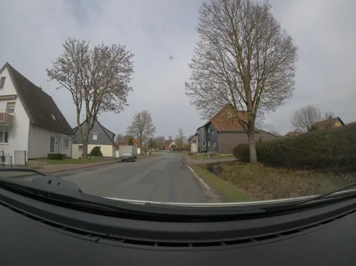
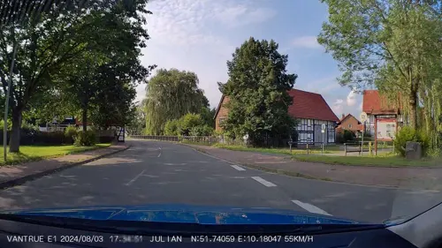
Die Gärtnerei
Restaurant · German, Fast Food · 2.7 km
2 Teichhütter Straße, Bad Grund
Mo-Sa 07:00-20:00
Zum Schwarzen Bären
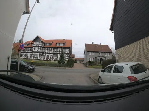
Restaurant · German, Regional · 2.4 km
98 Förster Straße, Osterode am Harz
Sandras Kaffeestuebchen
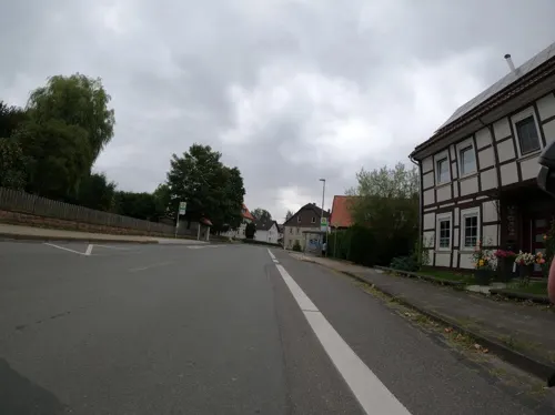
Cafe · Coffee Shop, Regional, Ice Cream · 2.3 km
292 Thüringer Straße, Bad Grund


Where to stay1
Churches and places of worship5
Shopping7
Gas and EV charging2
Schools, colleges and libraries3
Map of Eisdorf am Harz
50 places. The map loads OpenStreetMap tiles when you open it.
Getting there and nearby towns
Kassel Airport (KSF) is the nearest airport with scheduled flights listed in OpenStreetMap, 66 km away.
- Windhausen 4 km northeast, about 4 min by car
- Gittelde 4 km north, about 4 min by car
- Kalefeld 11 km northwest, about 11 min by car
- Clausthal-Zellerfeld 12 km northeast, about 12 min by car
- Northeim 14 km southwest, about 14 min by car
- Seesen 14 km north, about 14 min by car
- Bad Gandersheim 16 km northwest, about 16 min by car
- Herzberg am Harz 16 km southeast, about 16 min by car
- Kreiensen 18 km northwest, about 18 min by car
- Hillerse 18 km southwest, about 18 min by car
Drive times are estimates from straight-line distance, not routes.
Local news
Headlines from INDB.
Reviews, tips and questions
Loading what members have shared...
Sources and licences
- GeoNames (CC BY 4.0): population, coordinates, regions and time zone
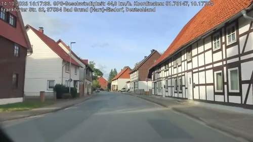
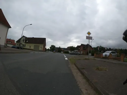
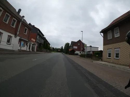
- Mapillary (see each image): photos
- OpenStreetMap contributors (ODbL 1.0): places, airports, map data
- Wikidata (CC0 1.0): elevation, founding date, time zone, website
- Wikimedia Commons (see each image): photos
- Wikipedia (CC BY-SA 4.0): overview and history text
Photo credits
- Steinweg 3-5 (Eisdorf) Kirchhof, Migebert, CC BY-SA 3.0
- Hindenburg Badenhausen 01, Migebert, CC BY-SA 3.0
- St. Martin (Nienstedt am Harz) 01, Migebert, CC BY-SA 3.0
- Bahnhof Kreiensen - Erinnerung an die 'Kreisbahn' Kreiensen - Osterode (Harz), 7. September 2021, Nin-TD, CC BY-SA 4.0
- Steinweg 3 (Eisdorf) Kirche St. Georg 01, Migebert, CC BY-SA 3.0
- Mitteldorf 14 (Eisdorf) 02, Migebert, CC BY-SA 3.0
- Mitteldorf 14 (Eisdorf) 01, Migebert, CC BY-SA 3.0
- Mitteldorf 10-14 (Eisdorf) 02, Migebert, CC BY-SA 3.0
- Mitteldorf 12 (Eisdorf) 01, Migebert, CC BY-SA 3.0
- Mitteldorf 10 (Eisdorf) 02, Migebert, CC BY-SA 3.0
- Mitteldorf 10 (Eisdorf) 01, Migebert, CC BY-SA 3.0
- Mitteldorf 20 (Eisdorf) 02, Migebert, CC BY-SA 3.0
- Mitteldorf 10-14 (Eisdorf) 01, Migebert, CC BY-SA 3.0
- Mitteldorf 20 (Eisdorf) 01, Migebert, CC BY-SA 3.0
- Mitteldorf 20 (Eisdorf) 03, Migebert, CC BY-SA 3.0
- Mitteldorf 6 (Eisdorf) 01, Migebert, CC BY-SA 3.0
- Mitteldorf 6 (Eisdorf) 03 Schwalbennester, Migebert, CC BY-SA 3.0
- Mitteldorf 1 (Eisdorf) 03, Migebert, CC BY-SA 3.0
- Mitteldorf 6 (Eisdorf) 02, Migebert, CC BY-SA 3.0
- Mitteldorf 31 (Eisdorf) 01, Migebert, CC BY-SA 3.0
- Mitteldorf 3 (Eisdorf) 01, Migebert, CC BY-SA 3.0
- Mitteldorf 1 (Eisdorf) Saaltür 1896, Migebert, CC BY-SA 3.0
- Mitteldorf 30 (Eisdorf) 01, Migebert, CC BY-SA 3.0
- Mitteldorf 32 (Eisdorf) 01, Migebert, CC BY-SA 3.0
- Frankfurter Straße 666 (Eisdorf), Migebert, CC BY-SA 3.0
- Frankfurter Straße 66-68 (Eisdorf), Migebert, CC BY-SA 3.0
- Frankfurter Straße 62 (Eisdorf), Migebert, CC BY-SA 3.0
- Frankfurter Straße 62 (Eisdorf) Scheune, Migebert, CC BY-SA 3.0
- Mitteldorf 1 (Eisdorf) 02, Migebert, CC BY-SA 3.0
- Zehntgasse 1 (Eisdorf), Migebert, CC BY-SA 3.0
- Mitteldorf 30 (Eisdorf) 02, Migebert, CC BY-SA 3.0
- Mitteldorf 32 (Eisdorf) 02, Migebert, CC BY-SA 3.0
- Mitteldorf 1 (Eisdorf) 01, Migebert, CC BY-SA 3.0
- Mitteldorf 32 (Eisdorf) Brunnen Gedenkstein, Migebert, CC BY-SA 3.0
- Mitteldorf 32 (Eisdorf) Brunnen, Migebert, CC BY-SA 3.0
- Goldbach in Eisdorf, Migebert, CC BY-SA 3.0
- Mitteldorf 30-32 (Eisdorf) 01, Migebert, CC BY-SA 3.0
- Mitteldorf 30-32 (Eisdorf) 02, Migebert, CC BY-SA 3.0
- An der Kirche 1 (Eisdorf), Migebert, CC BY-SA 3.0
- Steinweg 5 (Eisdorf) Pfarrhaus 01, Migebert, CC BY-SA 3.0
- Pagenberg Gipfelkreuz 02, Migebert, CC BY-SA 3.0
- 1000 Jahre Badenhausen 01, Migebert, CC BY-SA 3.0
- Sägegatter Neuhütte (Badenhausen) 06, Migebert, CC BY-SA 3.0
- Grenzstein Bürgerpark Badenhausen HB, Migebert, CC BY-SA 3.0
- Street-level photo, nrailuj, CC BY-SA 4.0
- Street-level photo, Langfahrer, CC BY-SA 4.0
- Street-level photo, Langfahrer, CC BY-SA 4.0
- Street-level photo, saschahaberkorn, CC BY-SA 4.0
- Street-level photo, nrailuj, CC BY-SA 4.0
- Street-level photo, nrailuj, CC BY-SA 4.0
- Street-level photo, hotteliene, CC BY-SA 4.0
- Street-level photo, ghyze, CC BY-SA 4.0
- Street-level photo, saschahaberkorn, CC BY-SA 4.0
- Street-level photo, Langfahrer, CC BY-SA 4.0
- Street-level photo, Langfahrer, CC BY-SA 4.0
- Street-level photo, nrailuj, CC BY-SA 4.0
- Street-level photo, surveyor99, CC BY-SA 4.0
- Street-level photo, Langfahrer, CC BY-SA 4.0
- Street-level photo, Langfahrer, CC BY-SA 4.0
- Street-level photo, Langfahrer, CC BY-SA 4.0
- Street-level photo, Langfahrer, CC BY-SA 4.0
- Street-level photo, Langfahrer, CC BY-SA 4.0
- Street-level photo, Langfahrer, CC BY-SA 4.0


Page built November 9, 2026. Spotted a mistake? Tell us or suggest a place.